Wikimedi'Òc
Modes d'emploi

Cet album fait partie des albums
Cet album photos contient les sous-albums suivants :


Tean Hall Mills, Upper Tean - geograph.org.uk - 7509125.jpg - GeographBot

Riverside garden, Upper Tean - geograph.org.uk - 7509128.jpg - GeographBot

The A522 passing through Upper Tean - geograph.org.uk - 7509154.jpg - GeographBot

Upper Tean war memorial - geograph.org.uk - 7509157.jpg - GeographBot

The White Hart - geograph.org.uk - 7509178.jpg - GeographBot

Lone Chimney - geograph.org.uk - 224682.jpg - Rotatebot
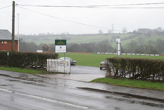
Checkley Cricket Club - geograph.org.uk - 354333.jpg - GeographBot

Fole Bridge - where to next^ - geograph.org.uk - 354360.jpg - GeographBot
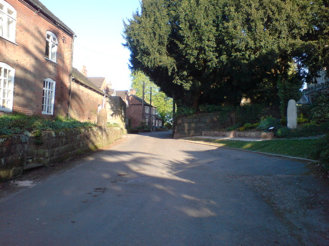
Church Lane, Checkley - geograph.org.uk - 1180274.jpg - GeographBot

The New Broom - geograph.org.uk - 1737173.jpg - GeographBot

River Tean Bridge in Upper Tean - geograph.org.uk - 1803051.jpg - GeographBot

River Tean downstream near Tean Hall Mills. - geograph.org.uk - 1803026.jpg - GeographBot

Tean Hall Mills - Cross Mill - geograph.org.uk - 1801213.jpg - GeographBot

Tean Hall Mills - Cross Mill - geograph.org.uk - 1801239.jpg - GeographBot

Red Lion Checkley, Staffs.JPG - Yarah
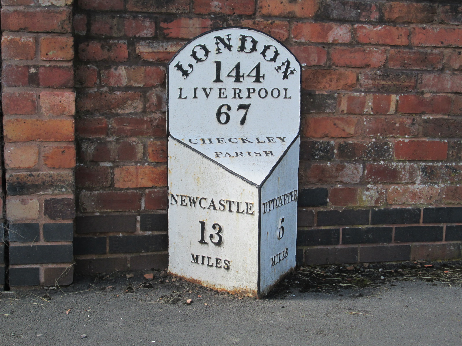
Milepost at Checkley.jpg - AtticTapestry

Milepost at Green Park.jpg - Geograph Update Bot

Tean Hall Mills - Rear of the Finishing Mill - geograph.org.uk - 1864509.jpg - GeographBot

Tean Hall Mills - geograph.org.uk - 2187461.jpg - GeographBot
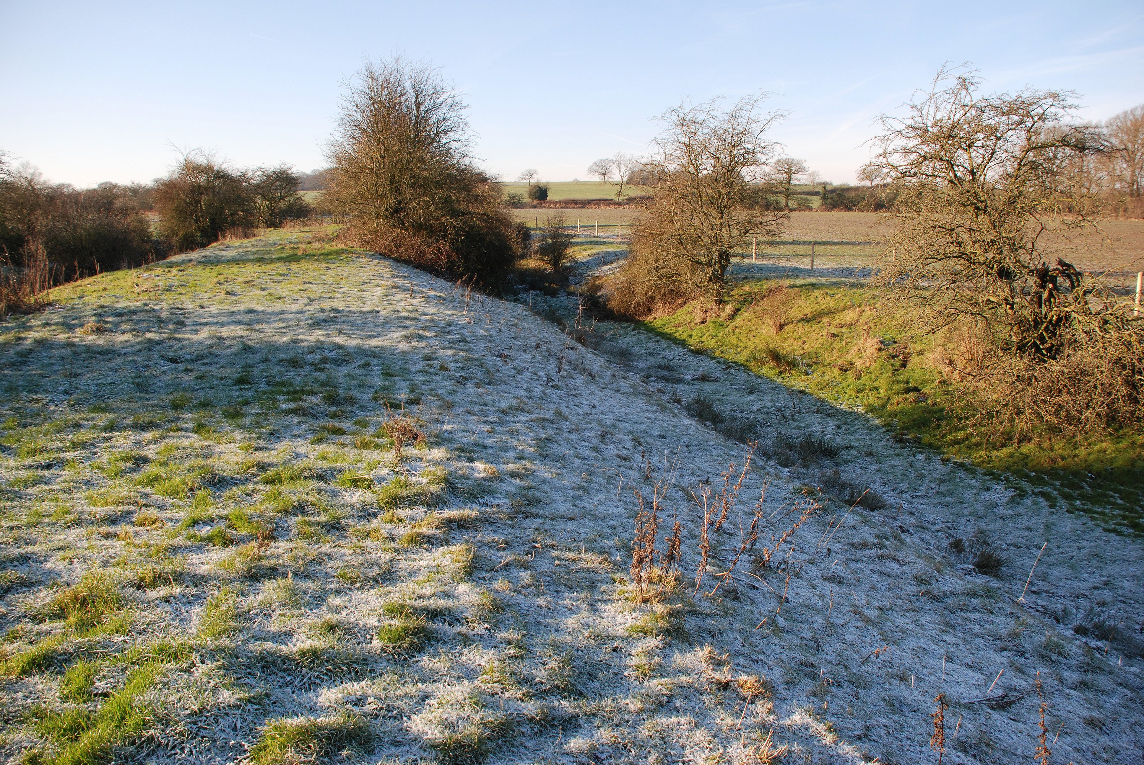
Blithewood Moat 1 - geograph.org.uk - 2317830.jpg - GeographBot

Blithewood Moat 2 - geograph.org.uk - 2317844.jpg - GeographBot

Blithewood Moat 3 - geograph.org.uk - 2317935.jpg - GeographBot

A50 about to cross Leigh Lane - geograph.org.uk - 2342153.jpg - GeographBot

A50 - Lower Tean Leys Farm accommodation bridge - geograph.org.uk - 2342157.jpg - GeographBot

A50 - Blythe House accommodation bridge - geograph.org.uk - 2342164.jpg - GeographBot

A50 near Highfields Farm - geograph.org.uk - 2342170.jpg - GeographBot

Black's Head - geograph.org.uk - 2394961.jpg - GeographBot

Croxden Quarry - geograph.org.uk - 2859459.jpg - GeographBot

The Anchor Inn, Teanford - geograph.org.uk - 2859686.jpg - GeographBot

Not a sheep dog - geograph.org.uk - 2859755.jpg - GeographBot

Top of Gorsty Hill Road - geograph.org.uk - 2859773.jpg - GeographBot

Fingerpost and Stile, Rectory Road at Hollington - geograph.org.uk - 2894960.jpg - GeographBot

Plants and Free Range Eggs for sale in Rectory Road - geograph.org.uk - 2894967.jpg - GeographBot

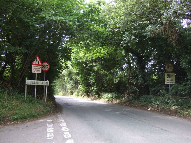
Looking down steep hill to the sign for Hollington - geograph.org.uk - 2894992.jpg - GeographBot

A wet entrance to Lower Whitley near Birchendale - geograph.org.uk - 2895015.jpg - GeographBot

Fole Lane with sign for Overton Farm - geograph.org.uk - 2895151.jpg - GeographBot

Drive to Overton Farm from Fole Lane - geograph.org.uk - 2895156.jpg - GeographBot

Fole Bank Farm off Fole Lane, Fole - geograph.org.uk - 2895162.jpg - GeographBot

Fole Lane towards Folebank Farm - geograph.org.uk - 2895174.jpg - GeographBot

Entering Fole from Fole bridge - geograph.org.uk - 2899897.jpg - GeographBot

Meeting the A522 Uttoxeter Road at Fole - geograph.org.uk - 2901382.jpg - GeographBot

Welcome to Checkley on the A522 - geograph.org.uk - 2901404.jpg - GeographBot

The New Broom at Checkley - geograph.org.uk - 2901421.jpg - GeographBot

Any Old Iron on the A522 on the outskirts of Checkley - geograph.org.uk - 2901432.jpg - GeographBot

From Checkley towards Lower Tean on the A522 - geograph.org.uk - 2901439.jpg - GeographBot

Public Footpath to Upper Tean from Heath House Lane, Lower Tean - geograph.org.uk - 2901452.jpg - GeographBot

Paintball Lower Tean - geograph.org.uk - 2901533.jpg - GeographBot

Across rolling Farmland with Cannock Chase in extreme distance - geograph.org.uk - 2901542.jpg - GeographBot

Footpath heading in a northerly direction from the Hollington Road - geograph.org.uk - 2901550.jpg - GeographBot

Mother ^ Twins near the Hollington Road - geograph.org.uk - 2901557.jpg - GeographBot

Lodgedale Farm Hiding in the Valley - geograph.org.uk - 2901570.jpg - GeographBot

Now Entering Hollington from Upper Tean - geograph.org.uk - 2901587.jpg - GeographBot

Buildings on the road through Hollington - geograph.org.uk - 2901598.jpg - GeographBot

Sandy Lane near Coney Dale Farm - geograph.org.uk - 2903001.jpg - GeographBot

Lightoaks Farm on Sandy Lane - geograph.org.uk - 2903016.jpg - GeographBot
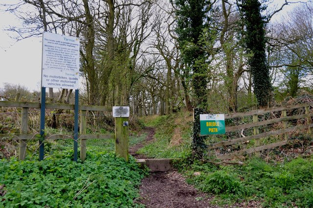
Bridle Path owned by Tarmac - geograph.org.uk - 2903028.jpg - GeographBot

Bridle Path owned by Tarmac - geograph.org.uk - 2903032.jpg - GeographBot

Gateway leading to Brown Bank Farm - geograph.org.uk - 2903046.jpg - GeographBot

Looking along Sandy Lane - geograph.org.uk - 2903059.jpg - GeographBot

Tractor on the Road - geograph.org.uk - 2903068.jpg - GeographBot

From Sandy Lane across grassland to houses and woodland - geograph.org.uk - 2903075.jpg - GeographBot

From Sandy Lane across the B5032 into Threapwood - geograph.org.uk - 2903088.jpg - GeographBot

Old Milepost (geograph 6099038).jpg - Sic19

Old Milepost by Fole Lane, Overton, Checkley Parish (geograph 6037454).jpg - Sic19

Old Milepost by the A522, High Street, Upper Tean (geograph 6102833).jpg - Sic19

Lay-by beside A50 near Lower Tean - geograph.org.uk - 3592719.jpg - GeographBot

Farm track crossing A50 for Far Teanleys - geograph.org.uk - 3592727.jpg - GeographBot

Lay-by with emergency telephone near Far Teanleys - geograph.org.uk - 3592734.jpg - GeographBot

Bridge over A50 to Blythe House - geograph.org.uk - 3592737.jpg - GeographBot

A50 eastbound near Highfields Farm - geograph.org.uk - 3593068.jpg - GeographBot

A50 near Lower Tean Leys Farm - geograph.org.uk - 3593069.jpg - GeographBot

Tean Hall Mills - geograph.org.uk - 3781239.jpg - GeographBot

The Anchor Inn, Teanford - geograph.org.uk - 4071100.jpg - GeographBot

Houses on Cheadle Road - geograph.org.uk - 4071102.jpg - GeographBot

Cheadle Road (A522) - geograph.org.uk - 4071103.jpg - GeographBot

Hollington Road - geograph.org.uk - 4071115.jpg - GeographBot

Farmland north of Old Roman Road - geograph.org.uk - 4071118.jpg - GeographBot

Hollington Road (Roman Road) - geograph.org.uk - 4071192.jpg - GeographBot

Lodge house on Hollington Road - geograph.org.uk - 4071197.jpg - GeographBot

Uphill on Hollington Road - geograph.org.uk - 4071199.jpg - GeographBot

Farmland north of Hollington Road - geograph.org.uk - 4071200.jpg - GeographBot

Grazing Temple Wood Farm - geograph.org.uk - 4071207.jpg - GeographBot

Lane heading north - geograph.org.uk - 4071215.jpg - GeographBot

Grazing, Winnothdale - geograph.org.uk - 4071219.jpg - GeographBot

Lane heading east - geograph.org.uk - 4071225.jpg - GeographBot

Crop field west of Hollington - geograph.org.uk - 4071232.jpg - GeographBot

Minor road towards Hollington - geograph.org.uk - 4071236.jpg - GeographBot

Crop field west of Hollington - geograph.org.uk - 4071239.jpg - GeographBot

Minor road towards Hollington - geograph.org.uk - 4071242.jpg - GeographBot

Wesleyan Chapel, Hollington - geograph.org.uk - 4071254.jpg - GeographBot

Minor road towards Hollington village - geograph.org.uk - 4071257.jpg - GeographBot

Hollington Village Hall - geograph.org.uk - 4071264.jpg - GeographBot

The Star Inn, Hollington - geograph.org.uk - 4071307.jpg - GeographBot

Lane heading south, Hollington - geograph.org.uk - 4071310.jpg - GeographBot

Farm, Hollington - geograph.org.uk - 4071312.jpg - GeographBot

St. John's Church, Hollington - geograph.org.uk - 4071313.jpg - GeographBot

Farmland east of Hollington - geograph.org.uk - 4071317.jpg - GeographBot
Entering Hollington - geograph.org.uk - 4071319.jpg - GeographBot

Road heading east out of Hollington - geograph.org.uk - 4071322.jpg - GeographBot

Uttoxeter Road, Upper Tean - geograph.org.uk - 4096005.jpg - GeographBot

Uttoxeter Road, Upper Tean - geograph.org.uk - 4096017.jpg - GeographBot

Old Road, Upper Tean - geograph.org.uk - 4096094.jpg - GeographBot
New Road, Upper Tean - geograph.org.uk - 4096108.jpg - GeographBot

Accommodation Bridge, Lower Tean Leys Farm - geograph.org.uk - 4241499.jpg - GeographBot

Farm Access Bridge over the A50, Lower Tean - geograph.org.uk - 4241502.jpg - GeographBot

Layby on Westbound A50 - geograph.org.uk - 4241505.jpg - GeographBot

Footbridge Over the A50 - geograph.org.uk - 4241508.jpg - GeographBot

Layby on the A50 near Highfields Farm - geograph.org.uk - 4241560.jpg - GeographBot

Cuthbert Cottages - geograph.org.uk - 4535116.jpg - GeographBot

Uttoxeter Road, Lower Tean - geograph.org.uk - 4640945.jpg - GeographBot
Church Lane, Checkley - geograph.org.uk - 5460385.jpg - GeographBot

The A522 at Deadman's Green - geograph.org.uk - 5460451.jpg - GeographBot

Cranberry Avenue, Checkley - geograph.org.uk - 5461567.jpg - GeographBot

Badgers Hollow, Checkley - geograph.org.uk - 5461571.jpg - GeographBot

Field at Checkley - geograph.org.uk - 5461580.jpg - GeographBot

St Mary and All Saints Church, Checkley - geograph.org.uk - 5461857.jpg - GeographBot

Derelict dairy, Fole - geograph.org.uk - 5496540.jpg - GeographBot

Derelict dairy, Fole - geograph.org.uk - 5496552.jpg - GeographBot

Derelict dairy, Fole - geograph.org.uk - 5496564.jpg - GeographBot

Derelict dairy, Fole - geograph.org.uk - 5496581.jpg - GeographBot

Fole Reformed Evangelical Chapel - geograph.org.uk - 5496590.jpg - GeographBot

Layby on the A50 - geograph.org.uk - 5542369.jpg - GeographBot

Croft Mill chimney - Upper Tean - geograph.org.uk - 5709902.jpg - GeographBot

Upper Tean, River Tean - geograph.org.uk - 5775565.jpg - GeographBot

Upper Tean, Wellmeadow Gardens - geograph.org.uk - 5775572.jpg - GeographBot

Croft Mill, Upper Tean - geograph.org.uk - 5987999.jpg - GeographBot

Chimney - Croft Mill, Upper Tean - geograph.org.uk - 6058810.jpg - GeographBot

Croft Mill, Upper Tean - geograph.org.uk - 6058814.jpg - GeographBot

Residential development site, formerly Fole Dairy - geograph.org.uk - 6674102.jpg - GeographBot

Only an external wall remains - geograph.org.uk - 6674105.jpg - GeographBot

Checkley, The Red Lion PH - geograph.org.uk - 6989426.jpg - GeographBot

Checkley, St. Mary and All Saints Church, The nave - geograph.org.uk - 6989430.jpg - GeographBot

Checkley, St. Mary and All Saints Church, The font with its Saxon bowl - geograph.org.uk - 6989432.jpg - GeographBot

Checkley, St. Mary and All Saints Church, The font with its Saxon bowl - geograph.org.uk - 6989434.jpg - GeographBot

Checkley, St. Mary and All Saints Church, The font with its Saxon bowl (detail) - geograph.org.uk - 6989437.jpg - GeographBot

Checkley, St. Mary and All Saints Church, The font with its Saxon bowl - geograph.org.uk - 6989439.jpg - GeographBot

Checkley, St. Mary and All Saints Church, The font with its Saxon bowl (detail) - geograph.org.uk - 6989946.jpg - GeographBot

Checkley, St. Mary and All Saints Church, The font with its Saxon bowl - geograph.org.uk - 6989948.jpg - GeographBot

Checkley, St. Mary and All Saints Church, The font with its Saxon bowl (detail) - geograph.org.uk - 6989950.jpg - GeographBot

Checkley, St. Mary and All Saints Church, The font with its Saxon bowl - geograph.org.uk - 6989953.jpg - GeographBot

Checkley, St. Mary and All Saints Church, The font with its Saxon bowl (detail) - geograph.org.uk - 6989957.jpg - GeographBot

Checkley, St. Mary and All Saints Church, The font with its Saxon bowl - geograph.org.uk - 6989959.jpg - GeographBot

Checkley, St. Mary and All Saints Church, c16th poppy head 1 - geograph.org.uk - 6989961.jpg - GeographBot

Checkley, St. Mary and All Saints Church, c16th poppy head 2 - geograph.org.uk - 6989964.jpg - GeographBot

Checkley, St. Mary and All Saints Church, Alabaster memorial to Geoffrey and Margaret Foljambe dated 1560 - geograph.org.uk - 6989968.jpg - GeographBot

Checkley, St. Mary and All Saints Church, c16th poppy head 3 - geograph.org.uk - 6989972.jpg - GeographBot

Checkley, St. Mary and All Saints Church, c16th poppy head 3 (closer view) - geograph.org.uk - 6989973.jpg - GeographBot

Checkley, St. Mary and All Saints Church, c16th poppy head 4 - geograph.org.uk - 6989977.jpg - GeographBot

Checkley, St. Mary and All Saints Church, The nave from the chancel - geograph.org.uk - 6989980.jpg - GeographBot

Checkley, St. Mary and All Saints Church, The nave - geograph.org.uk - 6989982.jpg - GeographBot

Checkley, St. Mary and All Saints Church, Stained glass window - geograph.org.uk - 6989985.jpg - GeographBot

Checkley, St. Mary and All Saints Church, The nave roof installed around 1620 - geograph.org.uk - 6989988.jpg - GeographBot

Checkley, St. Mary and All Saints Church, The nave roof installed around 1620 - geograph.org.uk - 6990036.jpg - GeographBot

Folebank Farm - geograph.org.uk - 7113936.jpg - GeographBot

Folebank Farm - geograph.org.uk - 7113939.jpg - GeographBot

Bloor Agricultural Services - geograph.org.uk - 7113942.jpg - GeographBot

Hollington Village - geograph.org.uk - 7113946.jpg - GeographBot

Looking towards Lodge Dale Farm - geograph.org.uk - 7113947.jpg - GeographBot

A dry stone wall with gate - geograph.org.uk - 7113951.jpg - GeographBot

A country lane - geograph.org.uk - 7113952.jpg - GeographBot

Near Winnoth Dale - geograph.org.uk - 7113955.jpg - GeographBot

Hollington Road - geograph.org.uk - 7113958.jpg - GeographBot

Hollington Road - geograph.org.uk - 7113961.jpg - GeographBot

The Dog and Partridge car park - geograph.org.uk - 7113963.jpg - GeographBot

The A522 - geograph.org.uk - 7113966.jpg - GeographBot

New Road - geograph.org.uk - 7113967.jpg - GeographBot

Green Farm - geograph.org.uk - 7113969.jpg - GeographBot