Wikimedi'Òc
Modes d'emploi

Cet album fait partie des albums
Cet album photos contient les sous-albums suivants :


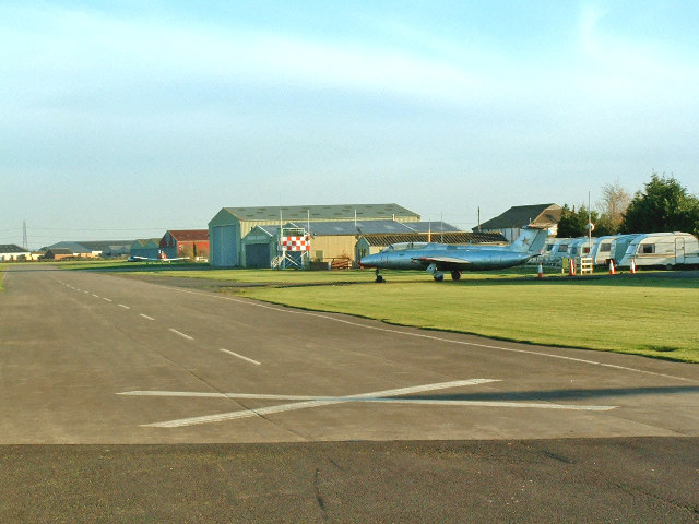
Breighton Airfield and Aeroplane Museum.jpg - Angusmclellan
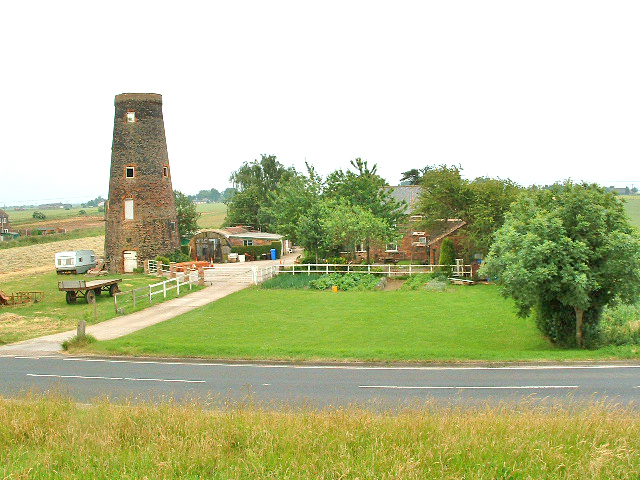
Old Goole Mill.jpg - Mjroots

Allotment Gardens, Withernsea - geograph.org.uk - 215568.jpg - GeographBot

Wolds Vintage Group Rally - geograph.org.uk - 211262.jpg - GeographBot

Caravan sales Hutton Cranswick.jpg - Keith D

Hollym - geograph.org.uk - 294451.jpg - GeographBot
Acey Farm, Preston - geograph.org.uk - 303482.jpg - GeographBot

Ferry Road, Hessle - geograph.org.uk - 318905.jpg - GeographBot

Old Caravan - geograph.org.uk - 383023.jpg - GeographBot

Southfield Lane, Skipsea - geograph.org.uk - 425668.jpg - GeographBot

View from Thornwick Holiday Park - geograph.org.uk - 505635.jpg - GeographBot

Seaton Road, Northfield - geograph.org.uk - 518839.jpg - GeographBot

Bail Wood - geograph.org.uk - 524100.jpg - GeographBot

Sherwood Drive, Anlaby Common - geograph.org.uk - 563771.jpg - GeographBot

Snuff Mill House, Cottingham - geograph.org.uk - 684948.jpg - GeographBot

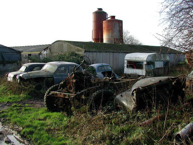
Caravan graveyard - geograph.org.uk - 721898.jpg - GeographBot

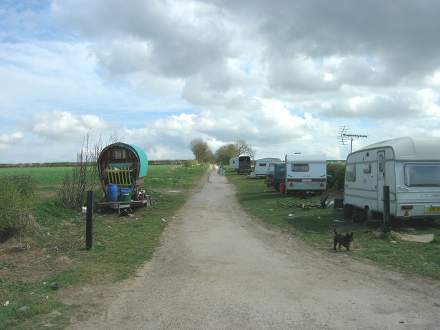
Travellers Pause on A1079 - geograph.org.uk - 725862.jpg - Geograph Update Bot

Houses on Baynard Avenue - geograph.org.uk - 749209.jpg - GeographBot

A dwelling on Hooks Lane - geograph.org.uk - 887496.jpg - GeographBot

Footpath to Thornwick Bay - geograph.org.uk - 965925.jpg - GeographBot

Clifftop house - now washed away - geograph.org.uk - 1012439.jpg - GeographBot

Willow Road, Burstwick - geograph.org.uk - 1107068.jpg - GeographBot

Arnold and Riston Drain, near Wawne Common - geograph.org.uk - 1169583.jpg - GeographBot

North east of Aike - geograph.org.uk - 1194155.jpg - GeographBot

Near the edge - geograph.org.uk - 1221089.jpg - GeographBot

Thornwick Bay Holiday Park - geograph.org.uk - 1226648.jpg - GeographBot
Green Lane - geograph.org.uk - 1240843.jpg - GeographBot

Caravan Sales Centre, Beeford - geograph.org.uk - 1281172.jpg - GeographBot

Upstream along the river Hull - geograph.org.uk - 1283755.jpg - GeographBot

Caravan site at Flamborough, East Riding of Yorkshire, England.jpg - GeographBot

The Grange, Flamborough - geograph.org.uk - 1417097.jpg - GeographBot
Hornhill Top Farm - geograph.org.uk - 1496426.jpg - GeographBot
Gardens at Patrington Haven Leisure Park 2009.jpg - Ronhjones

Sewerby Mill, East Riding-geograph.org-2925782.jpg - Plucas58

The Railway Cottages (geograph 2145883).jpg - Schlosser67
Fangfoss railway station (site), Yorkshire, 2000 (geograph 3578169).jpg - Lamberhurst

Houses on Ferry Road, Wawne (geograph 4355254).jpg - Keith D

Mobile homes behind Entick House (geograph 4403741).jpg - Keith D

Caravan farm at Wanlass (geograph 4448560).jpg - Keith D

Caravan park, Withernsea (geograph 1842464).jpg - Keith D

Withernsea Sands Holiday Park (geograph 2097623).jpg - Keith D

The Road to Withernsea (geograph 3042111).jpg - Keith D

Car Park of The Northfield and Caravan Site (geograph 4951543).jpg - Keith D

Terrace of houses with garden wall- A1033 through Withernsea (geograph 4583312).jpg - Keith D

Wolfreton Garth, Kirk Ella (geograph 5194876).jpg - Keith D

Fangfoss railway station (site), Yorkshire, 2000 (geograph 3578169) (cropped).jpg - Keith D

Caravan in a field (geograph 4223533).jpg - Keith D

Kilnwick New Farm near Kilnwick (geograph 5950920).jpg - Keith D

Entrance to Easingwold Farm (geograph 6148316).jpg - Keith D

Caravan perched on the clifftop (geograph 7206969).jpg - Keith D