×

A DIVERSION DAM ON THE COLORADO RIVER. DIVERTED WATER (LEFT) FLOWS THROUGH AQUEDUCT TO ARIZONA FARMLAND - NARA - 548949.jpg - US National Archives bot

IRRIGATION CANAL NEAR PARKER - NARA - 549053.jpg - US National Archives bot

River Crossing Flume carrying canal water west across the Agua Fria River approximately four miles downstream from Pleasant Dam. Photographer unknown, c. late 1920s. Source- HAER ARIZ,7-PHEN.V,5-43.tif - Fæ

View of canal, gunite lined, with turnout gates. Photographer Mark Durben. Source- Salt River Project. - Waddell Dam, On Agua Fria River, 35 miles northwest of Phoenix, Phoenix HAER ARIZ,7-PHEN.V,5-73.tif - Fæ

View of flume from stream bed. Photographer Mark Durben. Source- Salt River Project. - Waddell Dam, On Agua Fria River, 35 miles northwest of Phoenix, Phoenix, Maricopa County, HAER ARIZ,7-PHEN.V,5-75.tif - Fæ

View of flume from west end standing in canal. Photographer Mark Durben. Source- Salt River Project. - Waddell Dam, On Agua Fria River, 35 miles northwest of Phoenix, Phoenix, HAER ARIZ,7-PHEN.V,5-76.tif - Fæ

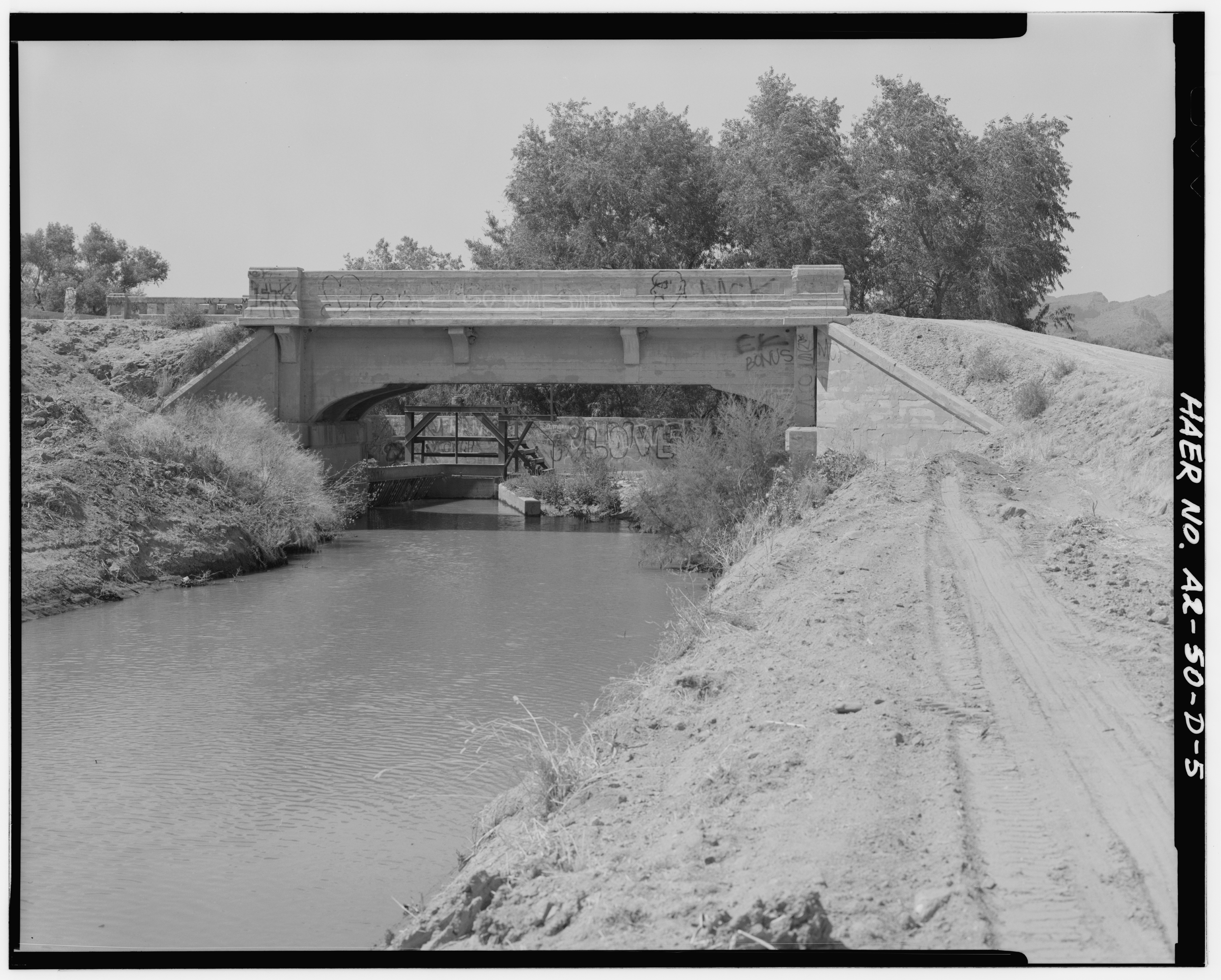
SOUTH END CANAL BRIDGE WITH CANAL INTAKE GATE STRUCTURE BEHIND - San Carlos Irrigation Project, Sacaton Dam and Bridge, Gila River, T4S R6E S12-13, Coolidge, Pinal County, AZ HAER ARIZ,11-COOL,1D-5.tif - Fæ

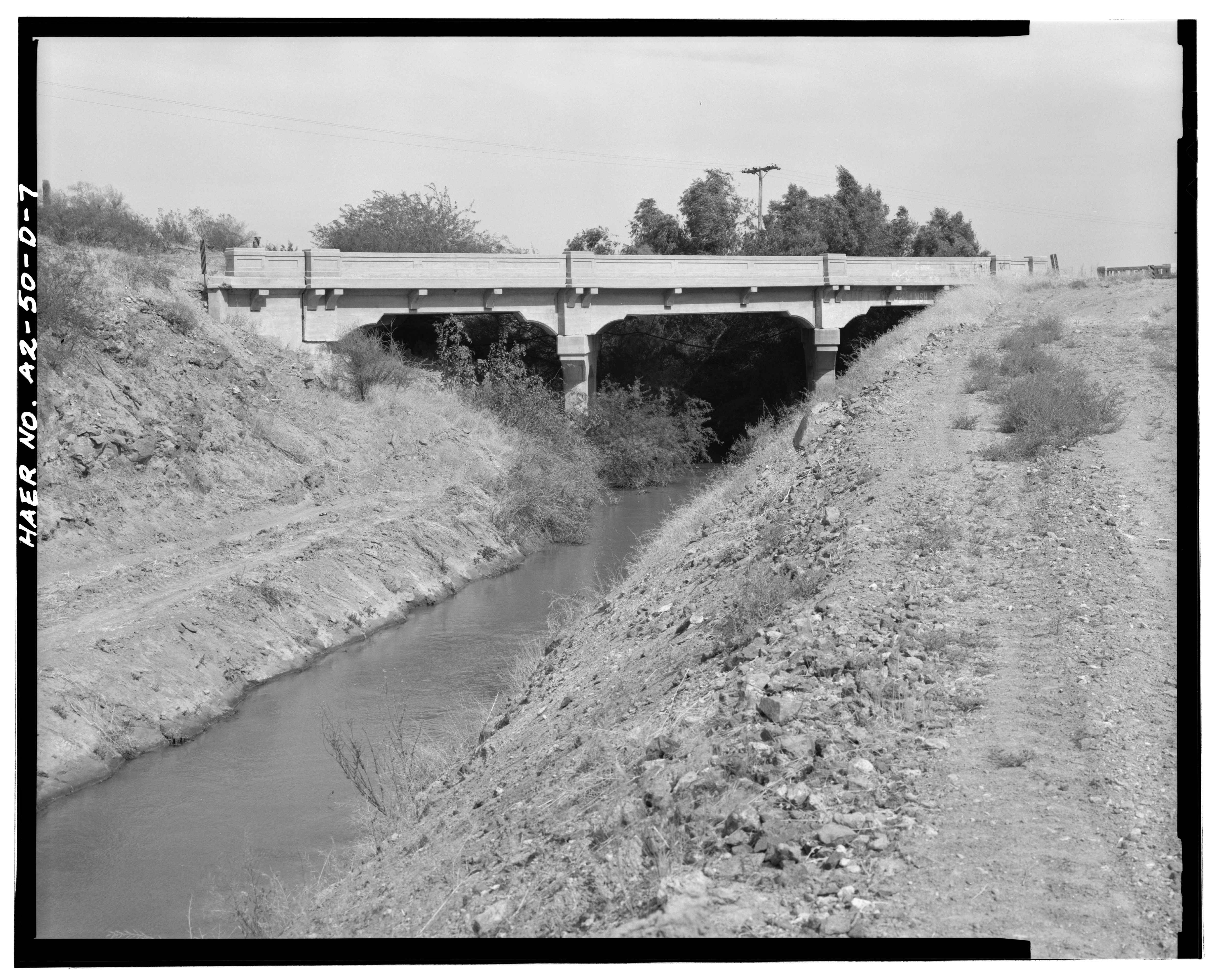
NORTH END CANAL BRIDGE ACROSS SAN TAN FLOOD-WATER CANAL. VIEW LOOKING EAST - San Carlos Irrigation Project, Sacaton Dam and Bridge, Gila River, T4S R6E S12-13, Coolidge, Pinal HAER ARIZ,11-COOL,1D-7.tif - Fæ

WEIR AT END OF MAIN CANAL (STATION 1176+00). VIEW LOOKING NORTHEAST WITH CHECK STRUCTURE IN BACKGROUND. - San Carlos Irrigation Project, Marin Canal, Amhurst-Hayden Dam to HAER ARIZ,11-COOL,1E-12.tif - Fæ

Photographic copy of photograph. (Source- U.s. Department of Interior. Office of Indian Affairs. Indian Irrigation Service. Annual Report, Fiscal Year 1927. Vol. I, Narrative HAER ARIZ,11-COOL,1H-14.tif - Fæ

Photographic copy of photograph. (Source- U.S. Department of Interior. Office of Indian Affairs. Indian Irrigation Service. Annual Report, Fiscal Year 1926. Vol. I, Narrative HAER ARIZ,11-COOL,1H-13.tif - Fæ

Photographic copy of photograph. (Source- U.S. Department of Interior. Office of Indian Affairs. Indian Irrigation Service. Annual Report, Fiscal Year 1925. Vol. I, Narrative HAER ARIZ,11-COOL,1H-12.tif - Fæ

Photographic copy of photograph. (Source- U.S. Department of Interior. Office of Indian Affairs. Indian Irrigation Service. Annual Report, Fiscal Year 1927. Vol. I, Narrative HAER ARIZ,11-COOL,1H-15.tif - Fæ

LOOKING NORTH ALONG NORTH DITCH AT INTERSECTION OF NORTH AND MIDDLE DITCHES, T4S, R7E, S20 - San Carlos Irrigation Project, Sacaton Flats Lateral, Gila River, Coolidge, Pinal HAER ARIZ,11-COOL,1O-1.tif - Fæ

ArizonaCanal.002.140817.jpg - Onel5969

ArizonaCanal.001.140817.jpg - Onel5969

Irrigation in the United States - testimony of Elwood Mead, Irrigation Expert in Charge, before the United States Industrial Commission, June 11 and 12, 1901 (1901) (14779332091).jpg - Faebot

Arizona, the wonderland; the history of its ancient cliff and cave dwellings, ruined pueblos, conquest by the Spaniards, Jesuit and Franciscan missions, trail makers and Indians; a survey of its (14779130405).jpg - Fæ

Phoenix-Pueblo Grande Ruin Crosscut Canal-1888-2.jpg - Marine 69-71

Hohokam Reconstructed Canal.jpg - MWyattB
❮
❯


