Wikimedi'Òc
Modes d'emploi

Cet album fait partie des albums


EnglandCambridgeshireIsleOfEly.png - SreeBot

Arms of Cambridgeshire and Isle of Ely County Council.svg - Fenn-O-maniC

Historical Administrative Boundaries in Cambridgeshire.svg - Fenn-O-maniC

Soham Mere Cambs 1667.jpg - FiSt71

"A Map of the Great Levell, representing it as it lay drowned." (1662).jpg - Ittybittykittycommittee
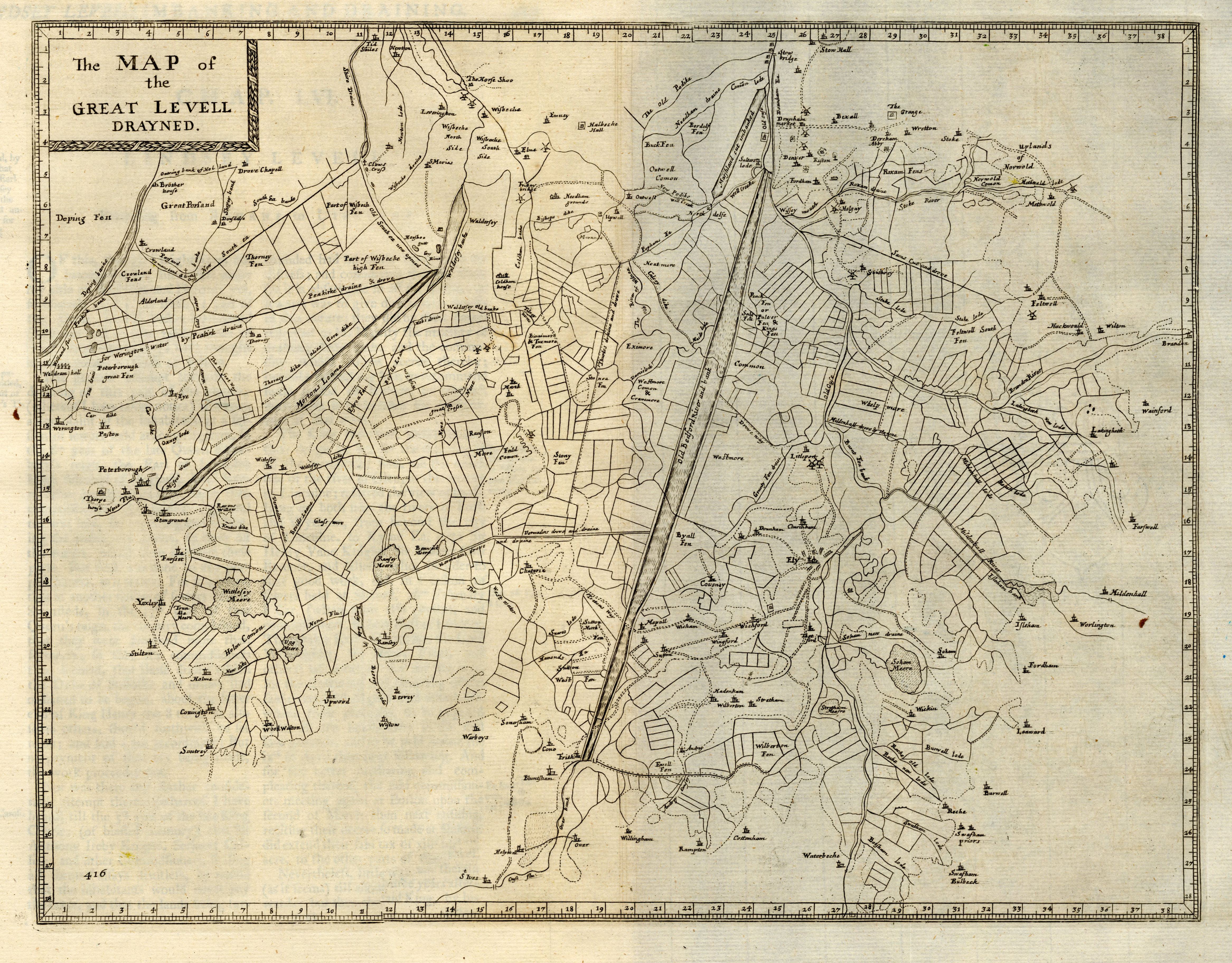
"The Map of the Great Levell drained" (1662).jpg - Ittybittykittycommittee