Wikimedi'Òc
Modes d'emploi

Cet album fait partie des albums
Cet album photos contient les sous-albums suivants :


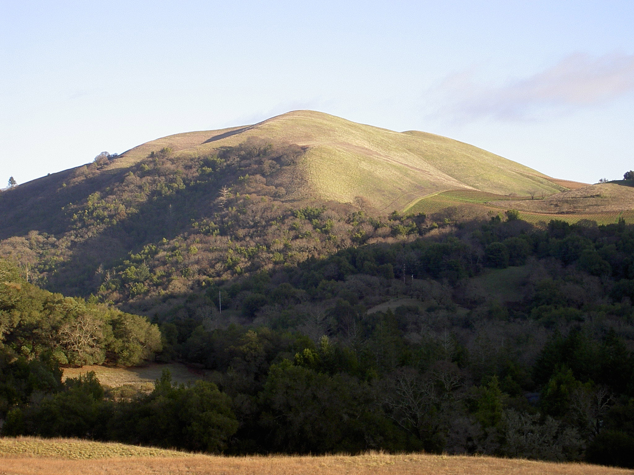
Buberel Moon Mountain vineyards.jpg - Quadell
Austin Creek SRA.jpg - Holly Cheng

BayareaUSGS.jpg - Yarnalgo

Glen Canyon Park Chert Outcrop.jpg - Easchiff
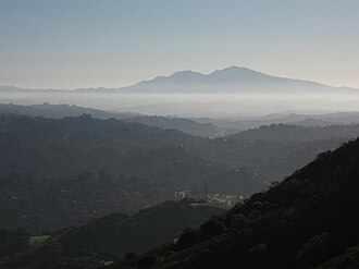
SanFranciscoBayFromPulgasRidge.jpg - Elf

Level III ecoregions, Pacific Northwest.png - Northwest-historian

Level IV ecoregions, Pacific Northwest.png - Northwest-historian

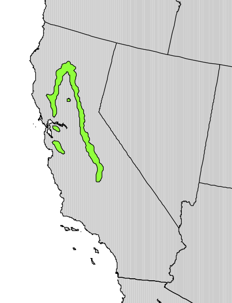
Level IV ecoregions, Coast Range.png - Northwest-historian

MountDiablo.JPG - File Upload Bot (Magnus Manske)
BaldMtnSouth2893.jpg - File Upload Bot (Magnus Manske)

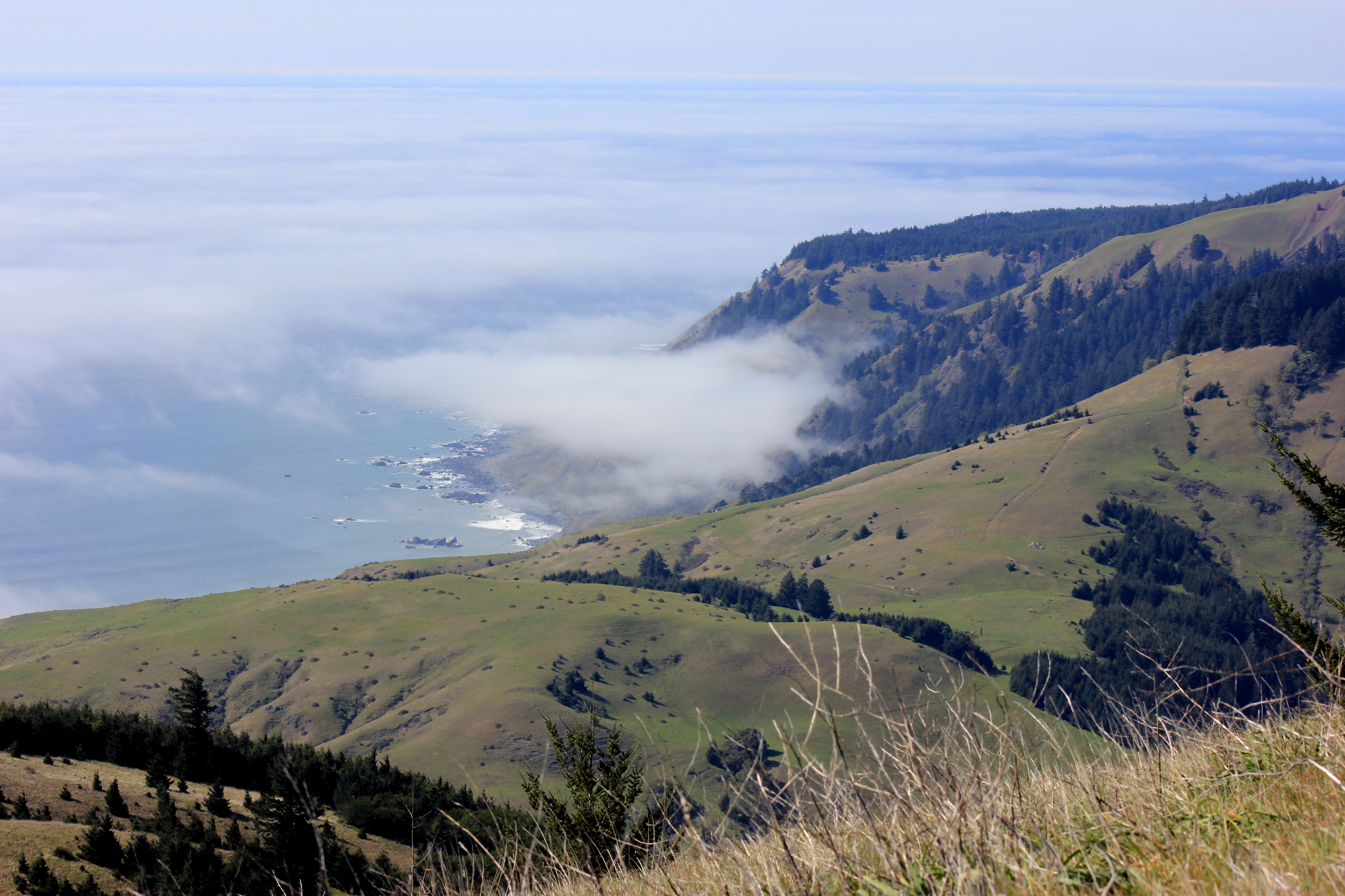
King Range coast California.jpg - Marcia Wright~commonswiki

Stinson Gulch 3430.jpg - File Upload Bot (Magnus Manske)
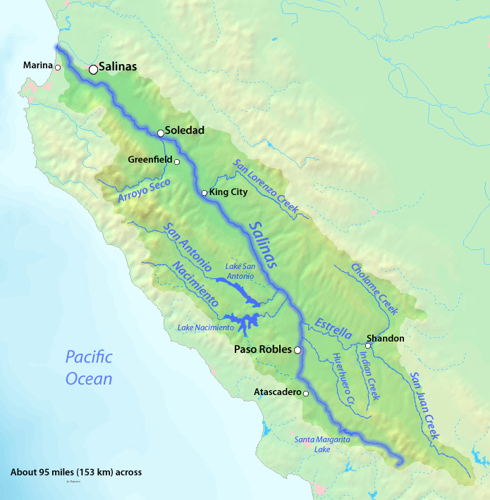
Salinas River Map.jpg - Shannon1

Northern California Coastal Forests map.svg - Cephas
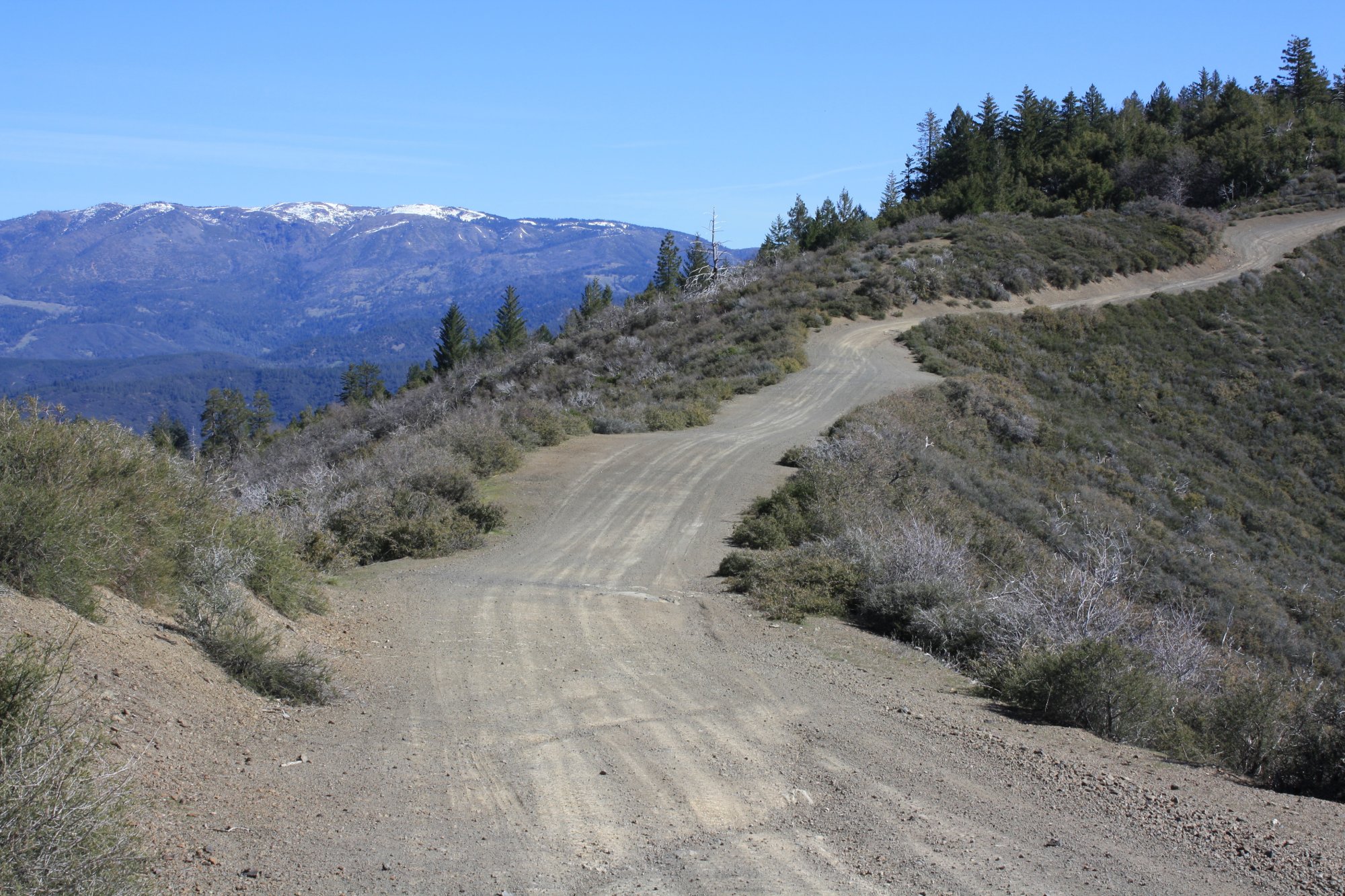
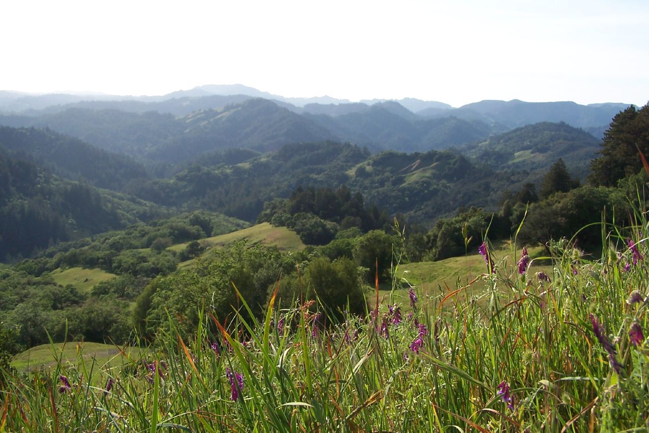
SnowMountainFrenchRidge1.jpg - CrabTree13

Timema californicum (Santa Lucia Range, California).jpg - Obsidian Soul

VOLCANIC ROCKS JUT FROM SEA NEAR KING MOUNTAIN COASTAL RANGE - NARA - 542917.jpg - US National Archives bot

A FOREST GROWS BY THE OCEAN - NARA - 543090.jpg - US National Archives bot

MOUNTAINS AND WATER - NARA - 543328.jpg - US National Archives bot
Explanation Regional Geologic Map of San Andreas and Related Faults in Carrizo Plain, Temblor, Caliente and La Panza Ranges and Vicinity, California.pdf - Rhalden~commonswiki

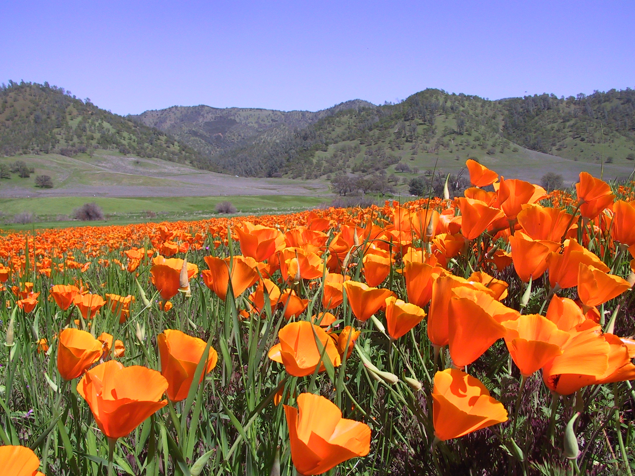
Calochortus luteus - Flickr 005.jpg - File Upload Bot (Magnus Manske)

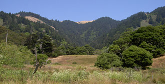
Looking north from Barnabe Fire Road in Samuel P Taylor Park.jpg - Bulwersator
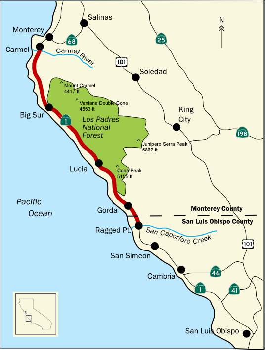
BigSurMap3.png - Knuckles
Ptelea crenulata range map.jpg - File Upload Bot (Magnus Manske)

Hernandez Reservoir from Laguna Mountain.jpg - Brycehughes

Pedicularis densiflora mt. diablo.JPG - Alan Rockefeller

Articles about birds from National geographic magazine ((19-?)-(193-?)) (20773744596).jpg - SteinsplitterBot

Reports of explorations and surveys, to ascertain the most practicable and economical route for a railroad from the Mississippi River to the Pacific Ocean (1857) (14574647157).jpg - SteinsplitterBot

Coast Range, California (10753662655).jpg - INeverCry

Coast Range, California (10753962983).jpg - INeverCry

Coast Range, California (10753749896).jpg - INeverCry

Southern Coast Ranges, California (21395717659).jpg - INeverCry
At the Summit of the Coast Range, California, On the Santa Fe (NYPL b12647398-74446).tiff - Fæ
Berryessa Snow Mountain National Monument.JPG - Tillman

NPS redwood-range-map.jpg - RKBot
NPS redwood-range-map.pdf - RKBot
View from California Coastal Ranges UNESCO-MAB Biosphere Reserve to Sea Lion Gulch State Marine Reserve.jpg - Twhrl

California Coast Ranges - Coast Range Hogbacks (3162328298).jpg - GeoWriter

California Coast Ranges - Deformed Layers (3266253886).jpg - GeoWriter

California - California Mts between LA & San Francisco - NARA - 23935493.jpg - US National Archives bot

California - California Mts between LA & San Francisco - NARA - 23935495.jpg - US National Archives bot

California - California Mts between LA & San Francisco - NARA - 23935497.jpg - US National Archives bot

Coast Range, California.jpg - GIANTPAPAYA

Irish Hills in spring, SLO County.jpg - Tillman

Bay Area by Sentinel-2, 2019-03-11 (big version).jpg - Satview

Bay Area by Sentinel-2, 2019-03-11 (small version).jpg - Satview

California Coast Range, rain shadow, central valley. DSC 0481 v alr5 (14924117872).jpg - Eyes Roger

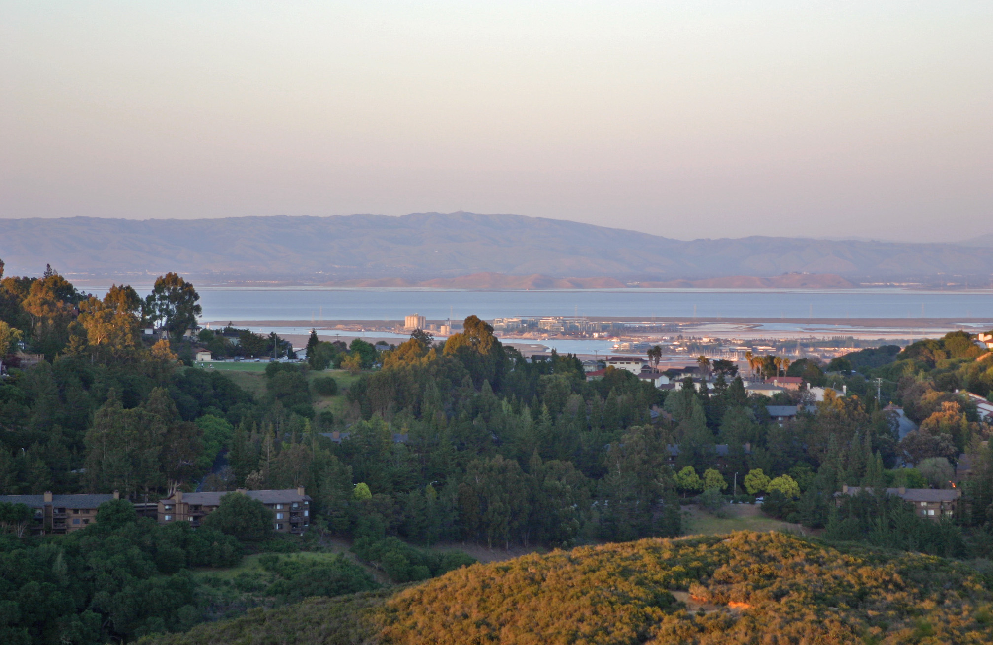
View of the Bay Area and the Californian Delta.jpg - Cristiano Tomás

Aerial view of Dublin Canyon and Niles Canyon, December 2023.JPG - Pi.1415926535

Aerial view of Coast Range peaks and Central Valley, December 2023.JPG - Pi.1415926535
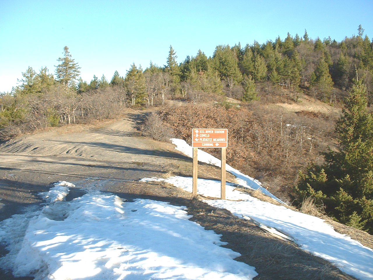
Mendocino Pass.jpg - Kalvin00

Level IV ecoregions, Coast Range.gif - Hike395