Wikimedi'Òc
Modes d'emploi

Cet album fait partie des albums
Cet album photos contient les sous-albums suivants :


Canal near Brewery Lane - geograph.org.uk - 7418166.jpg - GeographBot

Canal east of Brewery Lane - geograph.org.uk - 7418171.jpg - GeographBot

Old Boundary Marker on the Calder and Hebble Canal at Thornhill Lees - geograph.org.uk - 7356330.jpg - GeographBot

Old Boundary Marker on the Calder and Hebble Canal at Thornhill Lees - geograph.org.uk - 7356331.jpg - GeographBot

Canal east of Slaithwaite Road - geograph.org.uk - 7418179.jpg - GeographBot

Canal east of Slaithwaite Road - geograph.org.uk - 7418194.jpg - GeographBot

Canal near Forge Lane Bridge - geograph.org.uk - 7418149.jpg - GeographBot

Canal near Providence Court - geograph.org.uk - 7418159.jpg - GeographBot

Greenwood Bridge and Flood Gates - Low Mill Lane, Ravensthorpe - geograph.org.uk - 903576.jpg - GeographBot

Greenwood Bridge and Flood Gates - Low Mill Lane, Ravensthorpe - geograph.org.uk - 903580.jpg - GeographBot

The start of the Spen Valley Greenway and the Calder and Hebble Navigation Canal - geograph.org.uk - 342424.jpg - GeographBot

Calder and Hebble Canal, Lock Street, Dewsbury - geograph.org.uk - 377814.jpg - GeographBot
Double Lock, Lock Street, Dewsbury - geograph.org.uk - 377808.jpg - GeographBot

Disused Rail Bridge over Dewsbury Canal Arm - geograph.org.uk - 1296735.jpg - GeographBot

Pipe bridge across the canal - geograph.org.uk - 2100437.jpg - GeographBot

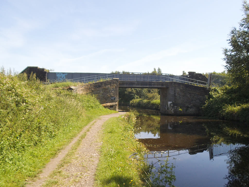
Schofield Bridge - geograph.org.uk - 2538540.jpg - GeographBot

Disused railway bridge over the canal at Savile Town - geograph.org.uk - 2902793.jpg - GeographBot

Canal east of Brewery Bridge - geograph.org.uk - 2917715.jpg - GeographBot

Calder and Hebble Navigation Long Cut - geograph.org.uk - 3732352.jpg - GeographBot

Spen Valley Greenway - geograph.org.uk - 4166906.jpg - GeographBot

Calder ^ Hebble Navigation - Forge Lane - geograph.org.uk - 4241627.jpg - GeographBot

Calder ^ Hebble Navigation - Forge Lane - geograph.org.uk - 4241629.jpg - GeographBot

Calder ^ Hebble Navigation - Brewery Lane - geograph.org.uk - 4242295.jpg - GeographBot

Calder and Hebble Navigation Canal Long Cut - geograph.org.uk - 4308261.jpg - GeographBot

Railway Bridge over the Dewsbury Arm of the Calder ^ Hebble Navigation - geograph.org.uk - 4445371.jpg - GeographBot

Long Cut - geograph.org.uk - 4630395.jpg - GeographBot

Calder and Hebble Navigation near Ravensthorpe - geograph.org.uk - 4752506.jpg - GeographBot

Bridge over canal towpath - geograph.org.uk - 5004344.jpg - GeographBot

Bridge over canal with date on it of 1878 - geograph.org.uk - 5004346.jpg - GeographBot

Railway bridge over the canal - geograph.org.uk - 5004347.jpg - GeographBot

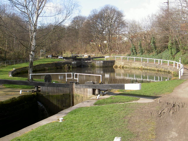
Canal locks at the junction of the Calder and Hebble canal and the section into Savile Town - geograph.org.uk - 5004348.jpg - GeographBot

Calder and Hebble Navigations Long Cut - Savile Town Locks - geograph.org.uk - 5097148.jpg - GeographBot

Calder and Hebble Navigations Dewsbury Arm - geograph.org.uk - 5098590.jpg - GeographBot

Planted landfill - geograph.org.uk - 5629384.jpg - GeographBot

The Long Cut - geograph.org.uk - 5629387.jpg - GeographBot
Fall Ing Bridge - geograph.org.uk - 5629392.jpg - GeographBot

Calder ^ Hebble Navigation towards Canal Head - geograph.org.uk - 5750238.jpg - GeographBot

Calder ^ Hebble Navigation towards Canal Head - geograph.org.uk - 5750243.jpg - GeographBot

Calder and Hebble Navigation passing through the Thornhill Lees district of Dewsbury - geograph.org.uk - 6029575.jpg - GeographBot

Calder and Hebble Navigation at Fall Ing - geograph.org.uk - 7014213.jpg - GeographBot

Fall Ing bridge - geograph.org.uk - 7014217.jpg - GeographBot

Brewery Bridge - geograph.org.uk - 7677583.jpg - GeographBot