Wikimedi'Òc
Modes d'emploi

Cet album fait partie des albums
Cet album photos contient les sous-albums suivants :


Calder Valley railway tracks at Lady Wood Bottom - geograph.org.uk - 7014350.jpg - GeographBot

Entrance to culvert under the railway, Lady Wood Bottom - geograph.org.uk - 2418549.jpg - GeographBot

Path and railway approaching Cleckheaton Road - geograph.org.uk - 7417615.jpg - GeographBot

Access to the railway at Hollas Bridge, Norland - geograph.org.uk - 7487816.jpg - GeographBot

The Sowerby Bridge to Bradford railway from a footbridge, Low Moor - geograph.org.uk - 7515621.jpg - GeographBot

11 Burnley to Hebden Bridge Railway.JPG - File Upload Bot (Magnus Manske)

43126 at Cliviger (1).jpg - File Upload Bot (Magnus Manske)

Bottom Viaduct, Hipperholme - geograph.org.uk - 38243.jpg - GeographBot

Canal and Railway - geograph.org.uk - 68555.jpg - GeographBot

Railway Cutting, Laisterdyke - geograph.org.uk - 158472.jpg - GeographBot

Leeds - Bradford railway line, Armley, Leeds - geograph.org.uk - 111207.jpg - GeographBot

Footpath under railway bridge, Copley, Skircoat (Halifax) - geograph.org.uk - 189077.jpg - GeographBot

Wood lane between the railway bridges, Kirkheaton - geograph.org.uk - 196975.jpg - GeographBot

Elland signalbox - geograph.org.uk - 220551.jpg - GeographBot

Lowfields cutting - geograph.org.uk - 220492.jpg - GeographBot

Footpath alongside the railway, off Woodhouse Lane, Rastrick - geograph.org.uk - 348136.jpg - GeographBot
Look Both Ways - geograph.org.uk - 386649.jpg - GeographBot

Haigh Lane, Halifax - geograph.org.uk - 390678.jpg - GeographBot

Haigh Lane, Halifax - geograph.org.uk - 390710.jpg - GeographBot

Main lines into Leeds Station - geograph.org.uk - 390583.jpg - GeographBot

Road Bridge No LBE1 II over Railway Line - Whingate - geograph.org.uk - 440776.jpg - GeographBot

Kirklees Viaduct, M62 - geograph.org.uk - 629451.jpg - GeographBot

Railway Line - from Dick Lane bridge No LBE 1-36 - geograph.org.uk - 665765.jpg - GeographBot

View over Copley from 084221 - geograph.org.uk - 660655.jpg - GeographBot

Rail Crossing on Brighouse Boundary Walk - geograph.org.uk - 675039.jpg - GeographBot

Railway Retaining Wall at Reins Wood - geograph.org.uk - 677402.jpg - GeographBot

The Disused Tag Cut of the Calder and Hebble Canal - geograph.org.uk - 675068.jpg - GeographBot

Underpass - linking Bradford Road with the Owlcotes Centre - geograph.org.uk - 684239.jpg - GeographBot
Valley Mill transformed, seen from Calderdale Way (A629), Elland - geograph.org.uk - 695458.jpg - GeographBot

Landslide Repair Works at Reins Wood - geograph.org.uk - 707329.jpg - GeographBot

Bridge MRB 7 - Crossley Hill Lane - geograph.org.uk - 714467.jpg - GeographBot

View from Copley Lane Bridge - Copley - geograph.org.uk - 714493.jpg - GeographBot

Strangstry Quarry Track at the Railway - geograph.org.uk - 726748.jpg - GeographBot

Unloading soil, Calder brickworks, Elland - geograph.org.uk - 724067.jpg - GeographBot

View from Bridge BBW-1 - Station Road, Bradley - geograph.org.uk - 762577.jpg - GeographBot

Bridge MRB-28 - Station Road, Tanhouse Hill, Hipperholme - geograph.org.uk - 783828.jpg - GeographBot

Railway Line - Halifax Road, Hipperholme - geograph.org.uk - 784397.jpg - GeographBot

Arch Bridge MVN2-162 - Stainland Road, West Vale - geograph.org.uk - 805288.jpg - GeographBot

Manchester to Leeds railway line, Eastwood - geograph.org.uk - 881587.jpg - GeographBot

Level crossing on Hufling Lane - geograph.org.uk - 992923.jpg - GeographBot

View from Bridge LBE2-39 - Sticker Lane - geograph.org.uk - 998813.jpg - GeographBot
View from Bridge LBE1-37 - New Lane - geograph.org.uk - 1008693.jpg - GeographBot
The Holme - geograph.org.uk - 1160770.jpg - GeographBot

Scotty Bank, Rastrick - geograph.org.uk - 1177006.jpg - GeographBot

Pipe bridge over the railway, Luddenden Foot - geograph.org.uk - 1182787.jpg - GeographBot

View from Bridge 95 - Rochdale Road - geograph.org.uk - 1199161.jpg - GeographBot

Construction of Lowfields Bridge - geograph.org.uk - 1249126.jpg - GeographBot

Railway near Portsmouth - geograph.org.uk - 1247690.jpg - GeographBot

Railway parallel to Lillands Lane, Brighouse - geograph.org.uk - 1249862.jpg - GeographBot

Remains of Bridge LBE 1-35 - over the Leeds-Bradford Line - geograph.org.uk - 1247686.jpg - GeographBot

View from Bridge MRB-44 - Station Road - geograph.org.uk - 1254989.jpg - GeographBot

Bradford to Halifax Railway - geograph.org.uk - 1286887.jpg - GeographBot

Todmorden to Halifax Railway - geograph.org.uk - 1325398.jpg - GeographBot

Healey Wood Road Rail Bridge - geograph.org.uk - 1369905.jpg - GeographBot

Railway Line from New Pudsey to Bradford - geograph.org.uk - 1362881.jpg - GeographBot
Bridge MVN 2-176 - Gooder Lane - geograph.org.uk - 1378371.jpg - GeographBot

Bridge MVN 2-178 - Woodhouse Lane - geograph.org.uk - 1377574.jpg - GeographBot
View from Bridge MVN 2-176 - Gooder Lane - geograph.org.uk - 1378377.jpg - GeographBot

View from Bridge MVN 2-178 - Woodhouse Lane - geograph.org.uk - 1377579.jpg - GeographBot

View from Bridge MVN 2-178 - Woodhouse Lane - geograph.org.uk - 1377584.jpg - GeographBot

Gate as you cross the Halifax to Bradford Railway - geograph.org.uk - 1438963.jpg - GeographBot

Halifax to Bradford Railway - geograph.org.uk - 1438956.jpg - GeographBot

Halifax to Bradford Railway - geograph.org.uk - 1438957.jpg - GeographBot

Dunstan Curve Bradford - geograph.org.uk - 1464092.jpg - GeographBot

View from Bridge MRB-48 - Cleckheaton Road - geograph.org.uk - 1463243.jpg - GeographBot

View from Bridge MRB-48 - Cleckheaton Road - geograph.org.uk - 1463244.jpg - GeographBot

'Works' next to Halifax Road, Stansfield - geograph.org.uk - 1529648.jpg - GeographBot

View over Copley - geograph.org.uk - 1621474.jpg - GeographBot
Leeds to Bradford Railway Line - geograph.org.uk - 1656579.jpg - GeographBot

Leeds to Bradford Railway Line - geograph.org.uk - 1656661.jpg - GeographBot

Leeds to Bradford Railway Line - geograph.org.uk - 1658686.jpg - GeographBot

Leeds to Bradford Railway Line - geograph.org.uk - 1658701.jpg - GeographBot

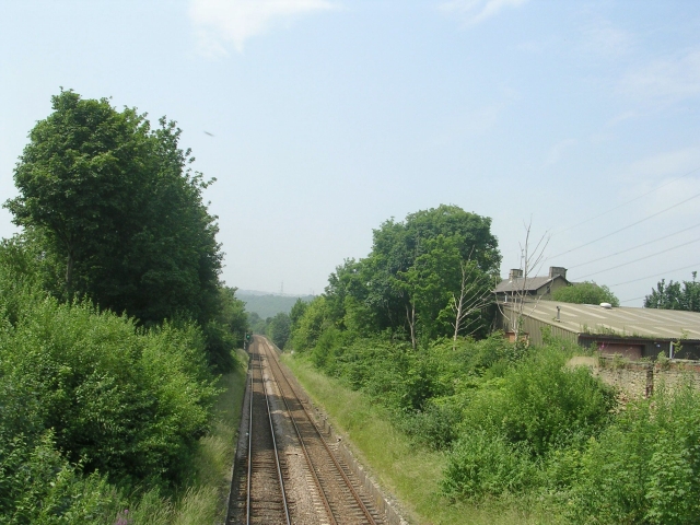
Looking towards Burnley - geograph.org.uk - 1652181.jpg - GeographBot

Railway boundary stone, Elland - geograph.org.uk - 1725780.jpg - GeographBot

Railway tunnel air shaft near Elland Cemetery - geograph.org.uk - 1725838.jpg - GeographBot

Railway line west of Weasel Hall Tunnel, Hebden Bridge - geograph.org.uk - 1736415.jpg - GeographBot

Looking north west from Woodhouse Bridge - geograph.org.uk - 1751496.jpg - GeographBot

Railway at Belfield - geograph.org.uk - 1770720.jpg - GeographBot
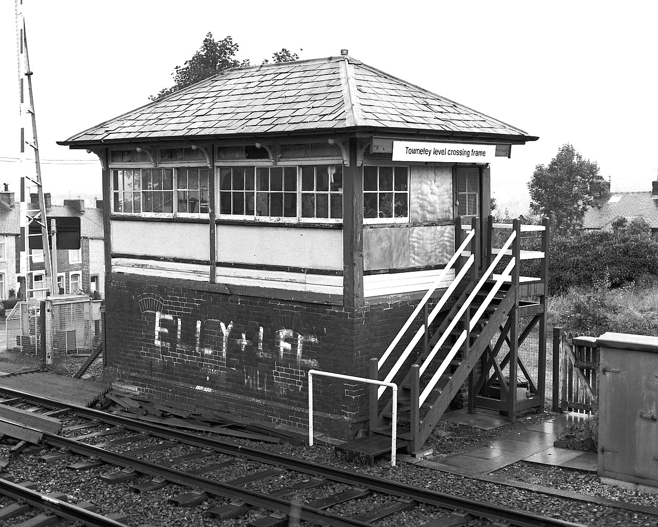
Towneley Level Crossing Frame (2321898599).jpg - File Upload Bot (Magnus Manske)
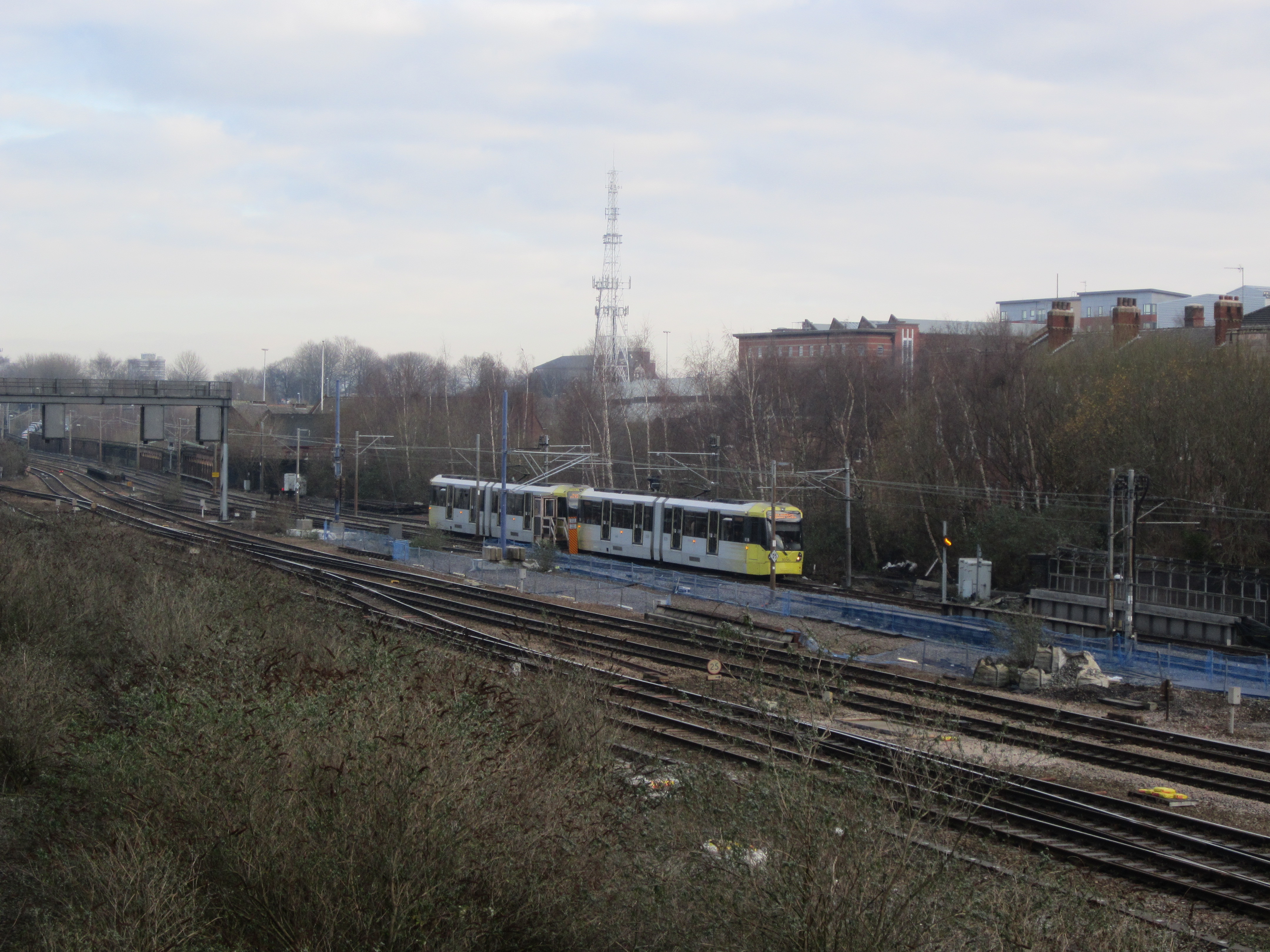
Rail and tram lines near Manchester Victoria (1).jpg - Rept0n1x

Rail and tram lines near Manchester Victoria (2).jpg - Rept0n1x

Railway lines approaching Marsden (17684830700).jpg - INeverCry

Railway Line at Sowerby Bridge (7441267328).jpg - INeverCry

Railway Bridge (3369003222).jpg - INeverCry

View from Watty Lane over Gauxholme Bridge (4787213093).jpg - INeverCry

The way home (2930321372).jpg - INeverCry

Stanningley (38555768515).jpg - Sic19

Stanningley (38555778195).jpg - Sic19

Stanningley (38725661034).jpg - Sic19

Stanningley (27656600779).jpg - Sic19
Water Lane, Leeds (36972249712).jpg - Sic19

Burnley to Halifax Railway (geograph 2011149).jpg - Schlosser67

Calder Valley line.png - Rcsprinter123

Railway Line to Burnley (Manchester Road) (geograph 1920072).jpg - Schlosser67

Looking north west from Spring View Road bridge - geograph.org.uk - 1810630.jpg - GeographBot

Looking south east from Spring View Road bridge - geograph.org.uk - 1810632.jpg - GeographBot

Railway and footbridge - geograph.org.uk - 1819401.jpg - GeographBot

Halifax to Huddersfield railway - geograph.org.uk - 1819407.jpg - GeographBot

Halifax to Huddersfield railway - geograph.org.uk - 1819410.jpg - GeographBot

Footpath from Mansion Lane to Shaw Lane - geograph.org.uk - 1819413.jpg - GeographBot

View from Bridge LBE1-10 - Wortley Road - geograph.org.uk - 1825440.jpg - GeographBot

View from Bridge LBE1-10 - Wortley Road - geograph.org.uk - 1825442.jpg - GeographBot

View from Bridge LBE1-8 - Carr Crofts - geograph.org.uk - 1826142.jpg - GeographBot
View from Bridge LBE1-8 - Carr Crofts - geograph.org.uk - 1826145.jpg - GeographBot

View from Bridge LBE1-6 - Tong Road - geograph.org.uk - 1826216.jpg - GeographBot

View north from Bridge MRB-57, Ripley Street, Bradford - geograph.org.uk - 1843638.jpg - GeographBot

Burnley to Todmorden Railway - geograph.org.uk - 1959428.jpg - GeographBot

Burnley to Todmorden Railway - geograph.org.uk - 1959429.jpg - GeographBot

Burnley to Todmorden Railway - geograph.org.uk - 1959445.jpg - GeographBot

Bridge over the Burnley to Todmorden Railway - geograph.org.uk - 1959446.jpg - GeographBot

View from Bridge LBE4-2, Wakefield Road Tunnel - geograph.org.uk - 2042872.jpg - GeographBot

View North East from Bridge LBE4-3, Usher Street - geograph.org.uk - 2042890.jpg - GeographBot

View South West from Bridge LBE4-3, Usher Street - geograph.org.uk - 2042932.jpg - GeographBot

View North East from Bridge LBE4-4, Usher Street - geograph.org.uk - 2042993.jpg - GeographBot

View West South West from Bridge LBE4-4, Hall Lane - geograph.org.uk - 2043020.jpg - GeographBot

Railway Line from New Pudsey to Bramley - viewed from Footpath from Station to the Owlcotes Centre - geograph.org.uk - 2142439.jpg - GeographBot

Leeds ^ Bradford Boiler Company - viewed from Footpath from Station to the Owlcotes Centre - geograph.org.uk - 2142442.jpg - GeographBot

View across the former 1840 Manchester and Leeds Railway main line near Milner Royd Junction - geograph.org.uk - 2215742.jpg - GeographBot

Railway at Cow Lane - geograph.org.uk - 2227575.jpg - GeographBot

Railway to Burnley (Manchester Road) from Todmorden - geograph.org.uk - 2332567.jpg - GeographBot

Railway to Todmorden from Burnley (Manchester Road) - geograph.org.uk - 2332570.jpg - GeographBot

Footpath under railway - geograph.org.uk - 2361775.jpg - GeographBot

View from Footbridge - Dalcross Grove - geograph.org.uk - 2367988.jpg - GeographBot

Oil depot at Greetland - geograph.org.uk - 2935348.jpg - GeographBot

The line from Burnley to Todmorden - geograph.org.uk - 3169375.jpg - GeographBot
Air shaft, Beacon Hill (48771166733).jpg - SeichanGant

Under the M62 motorway viaduct - geograph.org.uk - 3363197.jpg - GeographBot

View from Bridge MRB-44, Station Road, Wyke - geograph.org.uk - 3424568.jpg - GeographBot

Bridge MRB-7 - Crossley Hill - geograph.org.uk - 3463750.jpg - GeographBot

View from Bridge MRB-7 - Crossley Hill - geograph.org.uk - 3463753.jpg - GeographBot
View from Bridge MRB-7 - Crossley Hill - geograph.org.uk - 3463757.jpg - GeographBot

Approaching electrified railway at Wortley junction - geograph.org.uk - 3987727.jpg - GeographBot

Crossley Hill Railway Bridge - geograph.org.uk - 4198085.jpg - GeographBot

The London Train approaching Crossley Hill Railway Bridge - geograph.org.uk - 4198087.jpg - GeographBot

Railway Lines into Halifax from Crossley Hill Bridge - geograph.org.uk - 4198096.jpg - GeographBot

Bridge at site of Cooper House Mills, Luddendenfoot - geograph.org.uk - 4253180.jpg - GeographBot

Number plate on the bridge carrying FP729 over the railway, Skircoat, Halifax - geograph.org.uk - 4750679.jpg - GeographBot

Halifax FP729 crossing the railway, Skircoat - geograph.org.uk - 4750685.jpg - GeographBot

Caravans seen from Elland FP102, Greetland - geograph.org.uk - 4756709.jpg - GeographBot

Railway Line looking West at Dick Lane - geograph.org.uk - 4768849.jpg - GeographBot

Whingate, Armley, Leeds - geograph.org.uk - 4914859.jpg - GeographBot

Railway Lines below Wakefield Road, Bradford - geograph.org.uk - 5059640.jpg - GeographBot

Railway east of Dick Lane - geograph.org.uk - 5117517.jpg - GeographBot

Railway retaining wall and landslip site from the riverside path - geograph.org.uk - 5307279.jpg - GeographBot
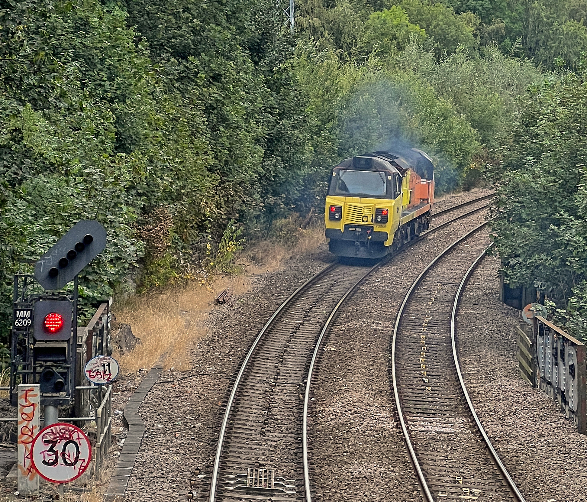
Colas Railfreight 70806.jpg - Mtaylor848

Sowerby Bridge FP67 descending to pass under the railway, Luddendenfoot - geograph.org.uk - 5578456.jpg - GeographBot

Stabilised slope over the railway tunnel portal, Elland - geograph.org.uk - 5625797.jpg - GeographBot

Sowerby Bridge FP67 going under the railway, Luddendenfoot - geograph.org.uk - 5626562.jpg - GeographBot

Carr Crofts, Armley, Leeds - geograph.org.uk - 5663325.jpg - GeographBot

Canal and railway - geograph.org.uk - 5709533.jpg - GeographBot

Path leading to Cromwell Bottom - geograph.org.uk - 5760218.jpg - GeographBot

Bradford-Halifax Line from Holmes Bridge, looking South West - geograph.org.uk - 5889590.jpg - GeographBot

Bradford-Halifax Line from Holmes Bridge, looking North East - geograph.org.uk - 5889599.jpg - GeographBot

Ramp carrying Mansion Lane alongside the railway - geograph.org.uk - 5994692.jpg - GeographBot

Signal box, Milner Royd Junction, Sowerby Bridge - geograph.org.uk - 6129404.jpg - GeographBot

Footpath crossing the railway near Cromwell Bottom - geograph.org.uk - 6173476.jpg - GeographBot

Train entering Millwood Tunnel - geograph.org.uk - 6288317.jpg - GeographBot

View towards Bradford on the Bradford-Halifax railway - geograph.org.uk - 6411345.jpg - GeographBot

View towards Halifax on the Bradford-Halifax railway - geograph.org.uk - 6411355.jpg - GeographBot

Caldervale Railway Line, Wyke - geograph.org.uk - 6417445.jpg - GeographBot

Bridge over the railway on Hough End Lane - geograph.org.uk - 6504533.jpg - GeographBot

Railway bridge, Whingate, Armley - geograph.org.uk - 6521229.jpg - GeographBot

Railway east of New Lane, Laisterdyke - geograph.org.uk - 6600704.jpg - GeographBot

Railway south of Bowling tunnel - geograph.org.uk - 6683194.jpg - GeographBot

Railway towards Leeds - geograph.org.uk - 6685394.jpg - GeographBot

Leeds Ring Road crossing the railway to Bradford - geograph.org.uk - 6749463.jpg - GeographBot

Back of LBBC, Stanningley - geograph.org.uk - 6749480.jpg - GeographBot

Buildings adjacent to the railway line, New Pudsey Square - geograph.org.uk - 6749481.jpg - GeographBot

Railway west of Hall Lane - geograph.org.uk - 7004664.jpg - GeographBot

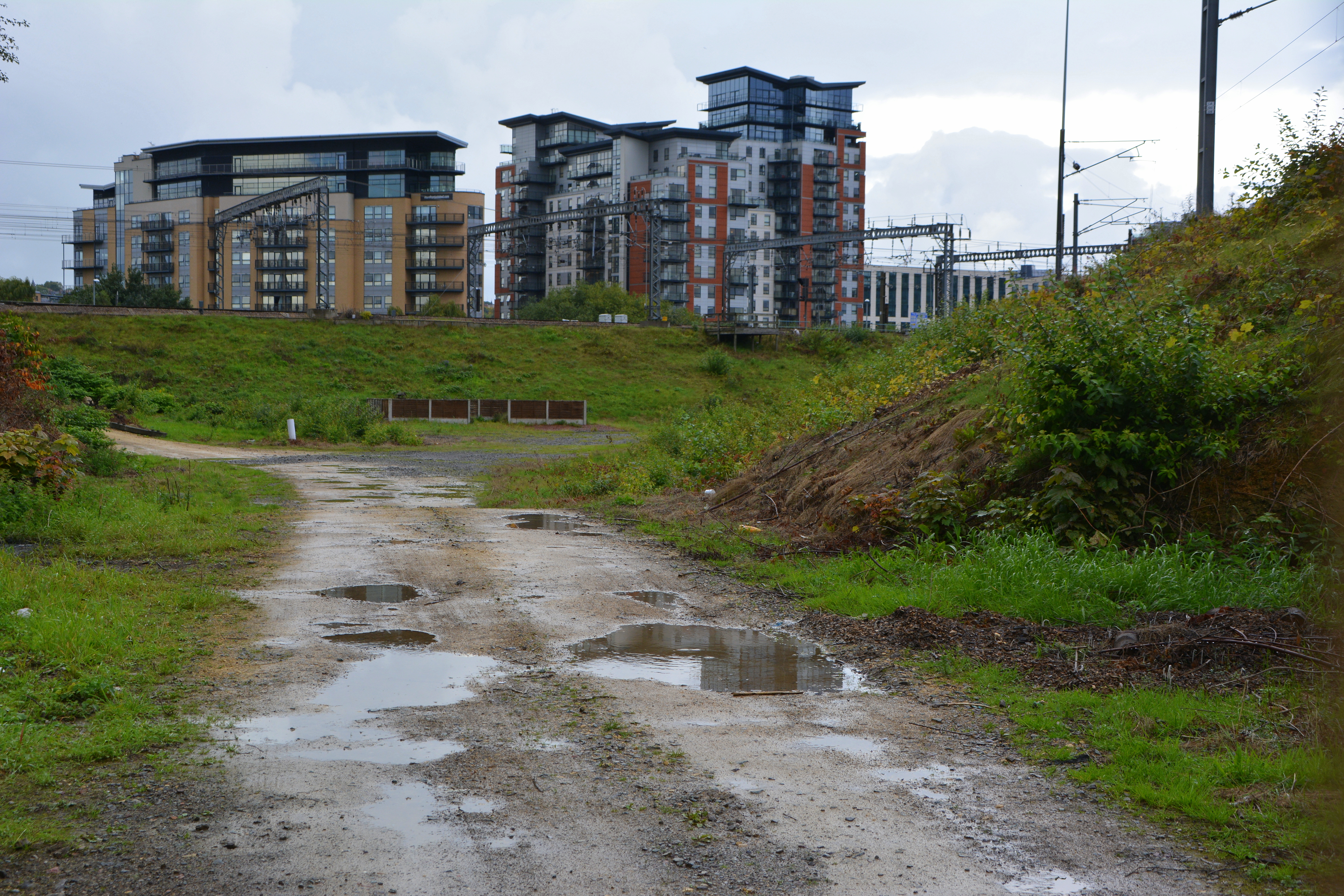
Railway Embankment at River Calder - geograph.org.uk - 7249945.jpg - GeographBot

Railway line seen from Leeds Road (A58), Halifax - geograph.org.uk - 7254888.jpg - GeographBot

Railway running alongside Leeds Road (A58), Halifax - geograph.org.uk - 7254895.jpg - GeographBot

View across a railway line from Leeds Road (A58), Halifax - geograph.org.uk - 7254890.jpg - GeographBot

Old Railway Boundary Stone - geograph.org.uk - 7270380.jpg - GeographBot

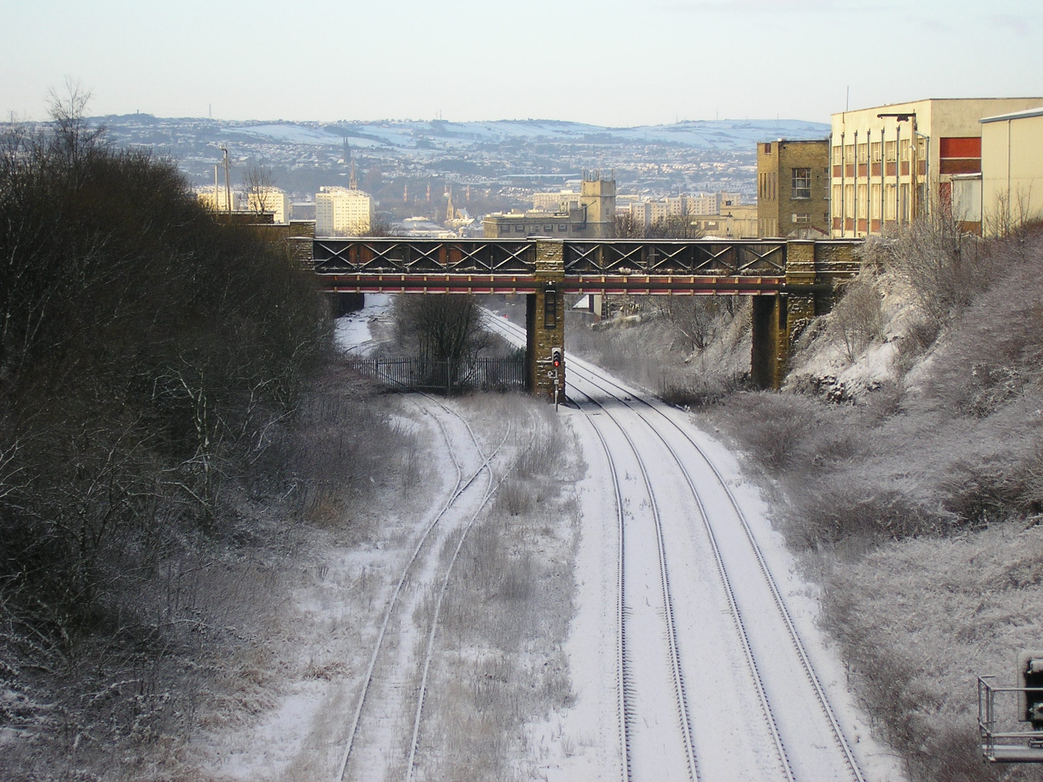
Railway climbing to Copy Pit Summit - geograph.org.uk - 7271648.jpg - GeographBot