Wikimedi'Òc
Modes d'emploi

Cet album fait partie des albums
Cet album photos contient les sous-albums suivants :


Archway at the Dewsbury end of the Calder Valley Greenway - geograph.org.uk - 196288.jpg - GeographBot

Bridle gate on the Greenway, Kirkheaton - geograph.org.uk - 196952.jpg - GeographBot

Calder Valley Greenway, Kirkheaton - geograph.org.uk - 196978.jpg - GeographBot

Entrance to the Calder Valley Greenway off Helm Lane, Kirkheaton - geograph.org.uk - 196951.jpg - GeographBot

The lane to Island View, Dewsbury - geograph.org.uk - 196263.jpg - GeographBot

Upstream end of flood channel, Dewsbury - geograph.org.uk - 196253.jpg - GeographBot

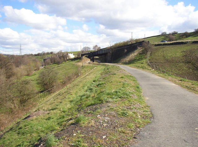
Woodend Road, Hopton, Mirfield - geograph.org.uk - 197009.jpg - GeographBot

Entrance to the Calder Valley Greenway eastwards from Bog Green Lane, Kirkheaton - geograph.org.uk - 281648.jpg - GeographBot

Entrance to the Calder Valley Greenway under construction westwards from Bog Green Lane, Kirkheaton - geograph.org.uk - 281657.jpg - GeographBot

Calder Valley Greenway - geograph.org.uk - 343348.jpg - GeographBot

The Back Honoria Street bridge, Fartown cycleway, Huddersfield - geograph.org.uk - 347222.jpg - GeographBot

The Bradford Road bridge, Fartown cycleway, Huddersfield - geograph.org.uk - 347244.jpg - GeographBot

The Calder Valley Greenway and Dalton Bank Road - geograph.org.uk - 343366.jpg - GeographBot

The Halifax Old Road bridge, Fartown cycleway, Huddersfield - geograph.org.uk - 347214.jpg - GeographBot
The western end of the Fartown cycleway, Fartown, Huddersfield - geograph.org.uk - 345817.jpg - GeographBot

Birkby to Bradley Greenway off Deighton Road, Deighton, Huddersfield - geograph.org.uk - 360823.jpg - GeographBot

Ashley Industrial Estate, Bradley, Huddersfield - geograph.org.uk - 381601.jpg - GeographBot

Colliery Bridge, Bradley, Huddersfield - geograph.org.uk - 381584.jpg - GeographBot

Cycleway junction, Bradley, Huddersfield - geograph.org.uk - 381590.jpg - GeographBot

Pipe bridge over the Calder Valley Greenway - geograph.org.uk - 382075.jpg - GeographBot
The Calder Valley Greenway, Kirkheaton - geograph.org.uk - 382069.jpg - GeographBot

The western end of the viaduct, Bradley, Huddersfield - geograph.org.uk - 381597.jpg - GeographBot

Ellen Holme Bridge, Luddenden Foot - geograph.org.uk - 391727.jpg - GeographBot

Calder Valley Greenway, Colne Bridge, Kirkheaton (the part that was in Huddersfield CB) - geograph.org.uk - 470655.jpg - GeographBot

Culvert for cattle, Calder Valley Greenway, Kirkheaton - geograph.org.uk - 470621.jpg - GeographBot

Seat on Bradley Colliery Bridge, Bradley - geograph.org.uk - 559888.jpg - GeographBot

Freeman's Bridge, Southowram - geograph.org.uk - 724135.jpg - GeographBot

Calder Valley Greenway - Church Lane - geograph.org.uk - 903885.jpg - GeographBot

Calder Valley Greenway - geograph.org.uk - 938758.jpg - GeographBot

Calder Valley Cycleway - geograph.org.uk - 970740.jpg - GeographBot

Calder Valley Cycleway - near Hebden Bridge Station - geograph.org.uk - 1141216.jpg - GeographBot

Murder Stone, Mytholmroyd - geograph.org.uk - 1200851.jpg - GeographBot

Cycle Track - Cobcroft Road - geograph.org.uk - 1718041.jpg - GeographBot

Cycle Track - Cobcroft Road - geograph.org.uk - 1718042.jpg - GeographBot

Calder Valley, from Norland (28264405162).jpg - INeverCry

Calder Valley, from Oldroyd (15303828560).jpg - INeverCry

Calder Valley Greenway - geograph.org.uk - 1887724.jpg - GeographBot

Towpath code of conduct - geograph.org.uk - 1964390.jpg - GeographBot

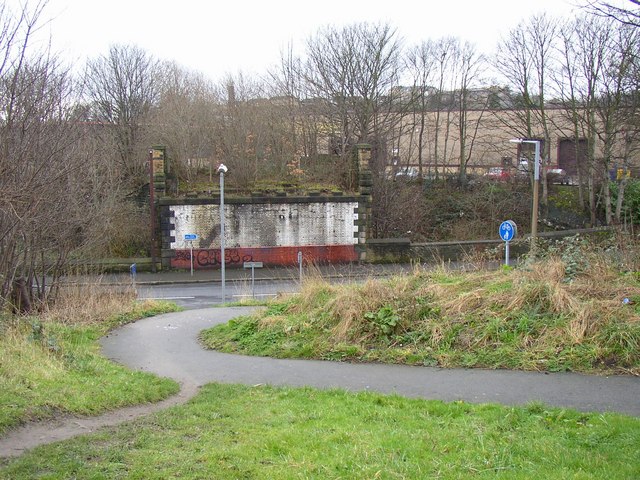
The Calder Valley Greenway crosses Huddersfield Road, Dewsbury - geograph.org.uk - 2368492.jpg - GeographBot
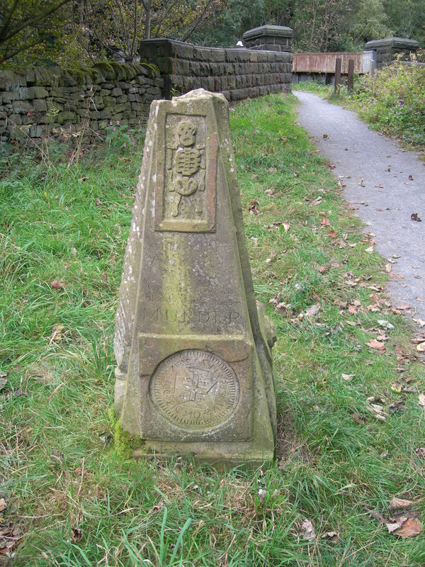
Murder Stone and Railway Bridge, Mytholmroyd - geograph.org.uk - 3139693.jpg - GeographBot

Calder Valley Greenway off Mill Street West, Dewsbury - geograph.org.uk - 3957606.jpg - GeographBot

Bridge on Thornhill Road, B6117, Dewsbury - geograph.org.uk - 3957609.jpg - GeographBot

Calder and Hebble Navigation - geograph.org.uk - 4200223.jpg - GeographBot

Calder and Hebble Navigation - geograph.org.uk - 4200225.jpg - GeographBot

Bridge carrying Dalton Bank Road over the Huddersfield to Mirfield Cycle Route seen from the East - geograph.org.uk - 4318699.jpg - GeographBot

Bridge carrying Dalton Bank Road over disused Railway, now the Cycle Route from Huddersfield to Mirfield seen from the West - geograph.org.uk - 4318704.jpg - GeographBot

Calder Valley Greenway - geograph.org.uk - 4800472.jpg - GeographBot

Calder Valley greenway passes through Holroyd Park - geograph.org.uk - 5004351.jpg - GeographBot

Calder Valley greenway bridge over flood control area - geograph.org.uk - 5004377.jpg - GeographBot

Bridge over the canal at Freeman's Lock - geograph.org.uk - 5307309.jpg - GeographBot

Rochdale Canal Bridge 2 taking Hollins Mill Lane over Calder Valley Greenway - geograph.org.uk - 6308490.jpg - GeographBot

Double bridge, Dalton Bank Road - geograph.org.uk - 6381337.jpg - GeographBot

The Calder and Hebble Navigation, Brighouse - geograph.org.uk - 7148684.jpg - GeographBot

The Calder and Hebble Navigation, Brighouse - geograph.org.uk - 7148702.jpg - GeographBot

Tow path and a lock-up, the Calder and Hebble Navigation - geograph.org.uk - 7148790.jpg - GeographBot

The Calder and Hebble Navigation seen from Brookfoot Lock footbridge - geograph.org.uk - 7148795.jpg - GeographBot

The Calder and Hebble Navigation seen from Cromwell Bridge - geograph.org.uk - 7148802.jpg - GeographBot

The Calder and Hebble Navigation west of Cromwell Lock - geograph.org.uk - 7148804.jpg - GeographBot

Calder Valley Greenway near the Asda footbridge, Dewsbury - geograph.org.uk - 7160912.jpg - GeographBot

The Mill Street West exit from the Calder Valley Greenway, Dewsbury - geograph.org.uk - 7160925.jpg - GeographBot

Calder Valley Greenway, Dewsbury - geograph.org.uk - 7160926.jpg - GeographBot

Calder Valley Greenway, Dewsbury - geograph.org.uk - 7160932.jpg - GeographBot

Calder Valley Greenway and the northern end of the Calder flood relief channel, Dewsbury - geograph.org.uk - 7160945.jpg - GeographBot

Contorted trunk of a willow tree by the towpath, Brighouse - geograph.org.uk - 7167549.jpg - GeographBot

Willow tree next to the towpath, Brighouse - geograph.org.uk - 7167559.jpg - GeographBot