Wikimedi'Òc
Modes d'emploi

Cet album fait partie des albums
Cet album photos contient les sous-albums suivants :


Allerton Health Centre - geograph.org.uk - 39164.jpg - GeographBot

Allerton Congregational Church - Allerton Road - geograph.org.uk - 575232.jpg - GeographBot

Allerton Methodist Church - Greenbank Road - geograph.org.uk - 575255.jpg - GeographBot

Former Chapel - Allerton Road - geograph.org.uk - 575235.jpg - GeographBot

Datestone on Upper Bailey Fold Farm, Allerton - geograph.org.uk - 1739656.jpg - GeographBot
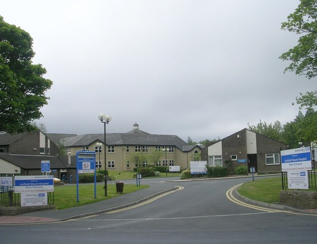
Entrance to Lynfield Mount Hospital - Daisy Hill Lane (geograph 2443072).jpg - Dormskirk

Allerton Methodist Church - viewed from Chapel Lane - geograph.org.uk - 1935923.jpg - GeographBot

Electricity Substation No 594 - Planetrees Road - geograph.org.uk - 2263419.jpg - GeographBot

Electricity Substation No 1277 - Middlebrook Way - geograph.org.uk - 2931050.jpg - GeographBot

Electricity Substation No 978 - Allerton Road - geograph.org.uk - 2966949.jpg - GeographBot

Weymouth Community Centre - Weymouth Avenue - geograph.org.uk - 3107727.jpg - GeographBot

St Francis Village Hall - Greenway Drive - geograph.org.uk - 3197141.jpg - GeographBot

Entrance to St James Church of England Primary School - Chelwood Drive - geograph.org.uk - 3197293.jpg - GeographBot

Electricity Substation No 1076 - Ayresome Oval - geograph.org.uk - 3197444.jpg - GeographBot

Electricity Substation No 1072 - Chevet Mount - geograph.org.uk - 3197496.jpg - GeographBot

St Francis Village Hall, Allerton - geograph.org.uk - 3321288.jpg - GeographBot

Allerton Health Centre - geograph.org.uk - 3321295.jpg - GeographBot

Former "The Reservoir" Public House, Allerton Road, Bradford - geograph.org.uk - 6757375.jpg - GeographBot

Prospect Works, Allerton Road - geograph.org.uk - 7681983.jpg - GeographBot

Former Baptist church, Allerton Road - geograph.org.uk - 7682007.jpg - GeographBot

Allerton Mill - geograph.org.uk - 7681988.jpg - GeographBot

Allerton Mill (2) - geograph.org.uk - 7681991.jpg - GeographBot

Wilco Motosave, Allerton Road - geograph.org.uk - 7682012.jpg - GeographBot