Wikimedi'Òc
Modes d'emploi

Cet album fait partie des albums
Cet album photos contient les sous-albums suivants :


Panford Beck gathers strength.jpg - RHaworth

Brisley Village Sign 7th November 2007 (1).JPG - Stavros1

Headwaters of Panford Beck feeding into Black Water - geograph.org.uk - 523448.jpg - File Upload Bot (Magnus Manske)
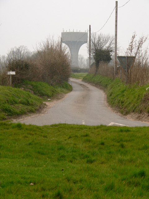
Water tower - geograph.org.uk - 383783.jpg - GeographBot

Alms Cottages, Brisley - geograph.org.uk - 451676.jpg - GeographBot

Bilney Hall - geograph.org.uk - 505070.jpg - GeographBot

Field boundary at Brisley - geograph.org.uk - 505036.jpg - GeographBot

Footpath to Brisley. - geograph.org.uk - 505064.jpg - GeographBot

Former Primitive Methodist Church, Brisley - geograph.org.uk - 505017.jpg - GeographBot

Harper's Green pumping station - geograph.org.uk - 504991.jpg - GeographBot

Bridge over Panford Beck - geograph.org.uk - 523467.jpg - GeographBot

Park Farm near Great Heath - geograph.org.uk - 525313.jpg - GeographBot

A perfectly round pond - geograph.org.uk - 574755.jpg - GeographBot

Driveway to Old Hall Farm - geograph.org.uk - 574758.jpg - GeographBot

Footpath to Broom Hill - geograph.org.uk - 574765.jpg - GeographBot

Heading south on Fludge's Lane - geograph.org.uk - 574757.jpg - GeographBot

Old Hall Farm - geograph.org.uk - 574760.jpg - GeographBot

Restricted Byway to Bilney Common - geograph.org.uk - 574749.jpg - GeographBot

View NE towards The Green - geograph.org.uk - 574772.jpg - GeographBot

View north across farmland - geograph.org.uk - 574751.jpg - GeographBot

Black Water from East Bilney Bridge - geograph.org.uk - 588315.jpg - GeographBot

Black Water from East Bilney Bridge - geograph.org.uk - 588330.jpg - GeographBot

Village Sign - geograph.org.uk - 1269241.jpg - GeographBot

Brisley almshouses - geograph.org.uk - 4128029.jpg - GeographBot

Brisley village sign - geograph.org.uk - 4128081.jpg - GeographBot

WW2 pillbox, Brisley - geograph.org.uk - 4128116.jpg - GeographBot

Where the B1145 becomes the B1146 - geograph.org.uk - 4562253.jpg - GeographBot

Footpath through the barley, off Fludge's Lane - geograph.org.uk - 4562254.jpg - GeographBot

B1146 with 7 miles to Fakenham - geograph.org.uk - 5015228.jpg - GeographBot

Pillbox on Elmham Road, Brisley Green - geograph.org.uk - 5978689.jpg - GeographBot

Manor Farm, Brisley Green - geograph.org.uk - 5978691.jpg - GeographBot

Gateley, Farmland - geograph.org.uk - 6092181.jpg - GeographBot

Gateley, Farmland - geograph.org.uk - 6092184.jpg - GeographBot

Gateley, Gateley Road - geograph.org.uk - 6092185.jpg - GeographBot

Brisley, The junction of School Road and Gately Road - geograph.org.uk - 6177623.jpg - GeographBot

Brisley, Elmham Road, Looking towards the trees bordering Panford Beck - geograph.org.uk - 6177926.jpg - GeographBot

Brisley, A field of buttercups - geograph.org.uk - 6177928.jpg - GeographBot

Brisley, 'Oak House, Church Street - geograph.org.uk - 6177931.jpg - GeographBot

Brisley, 'Alms Cottage', Church Street - geograph.org.uk - 6177933.jpg - GeographBot

Brisley village sign - geograph.org.uk - 6644573.jpg - GeographBot

Brisley village sign (detail) - geograph.org.uk - 6644577.jpg - GeographBot