Wikimedi'Òc
Modes d'emploi

Cet album fait partie des albums
Cet album photos contient les sous-albums suivants :


Chester Canal Basin - Raymond Street - Chester - 2005-10-09.jpg - Tagishsimon

Shropshire Union Canal, bridge 128b.jpg - GeeJo

Shropshire Union Canal - scan04.jpg - Benkid77

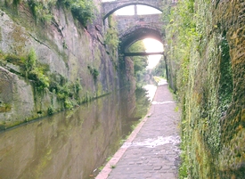
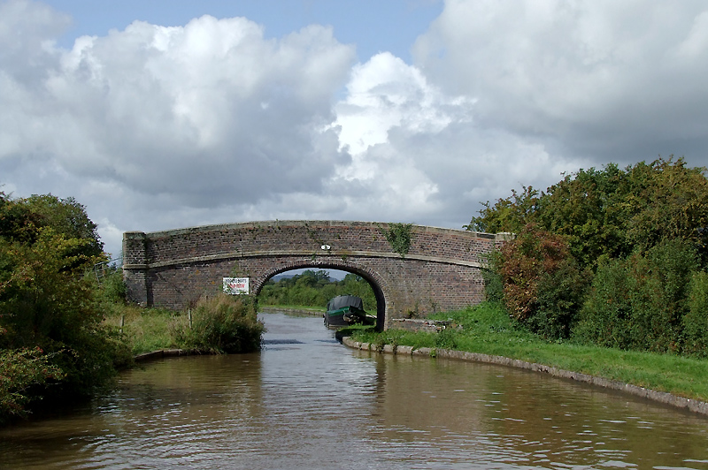
Disused bridge over canal - geograph.org.uk - 581765.jpg - File Upload Bot (Magnus Manske)

Angler in arc - geograph.org.uk - 189012.jpg - File Upload Bot (Magnus Manske)

NCR 5 - 56 goes beneath the M56 - geograph.org.uk - 1442845.jpg - File Upload Bot (Magnus Manske)

Railway Viaduct - geograph.org.uk - 34710.jpg - File Upload Bot (Magnus Manske)

Disused Footbridge and Pipeline - geograph.org.uk - 34712.jpg - File Upload Bot (Magnus Manske)

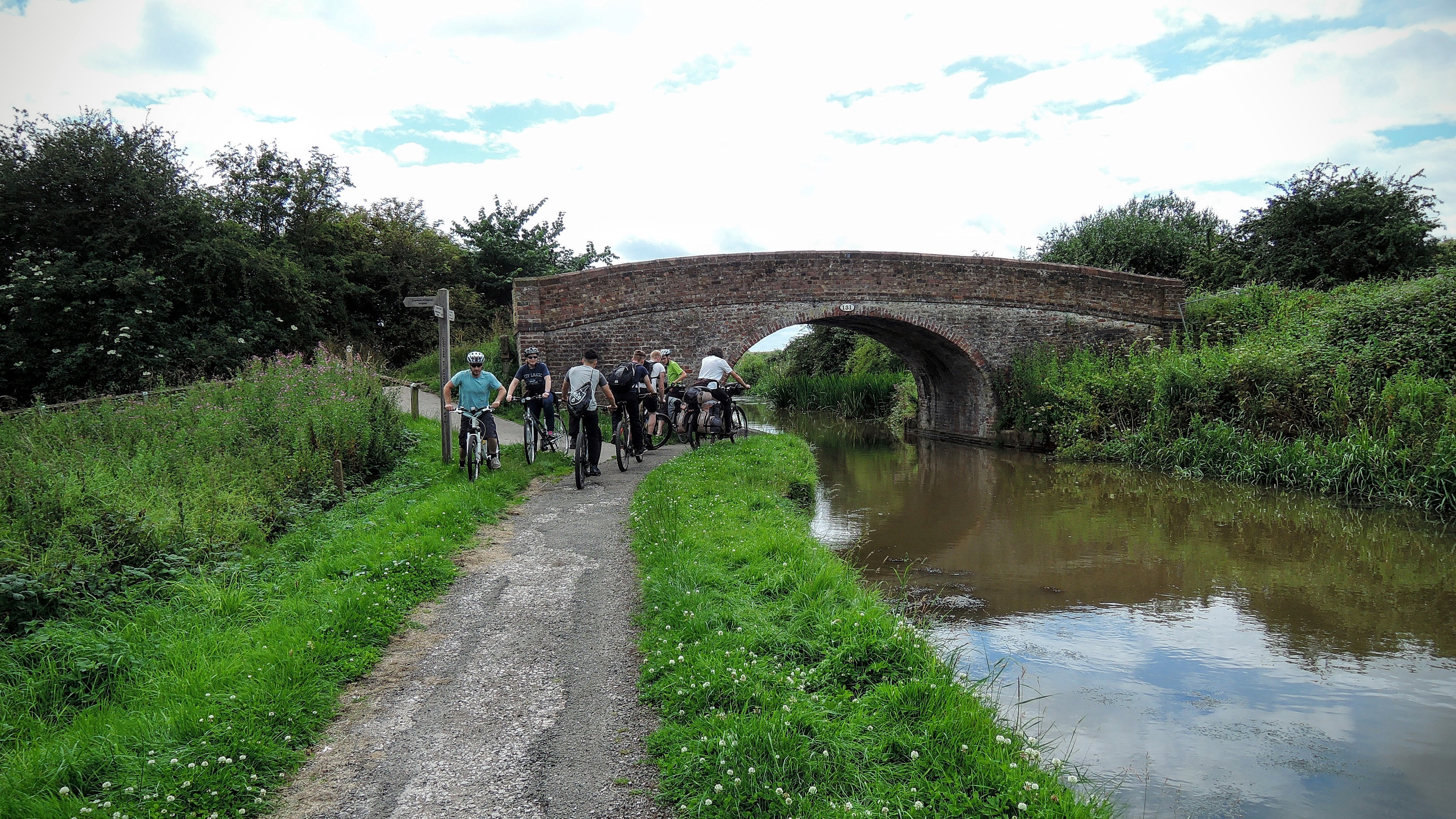
Canal bridge - geograph.org.uk - 1336376.jpg - File Upload Bot (Magnus Manske)

Junctiontrentandmerseymiddlewich.jpg - File Upload Bot (Magnus Manske)

Dee Locks Branch, Chester - geograph.org.uk - 3961.jpg - GeographBot

Disused Railway Bridge over the Shropshire Union Canal - geograph.org.uk - 12058.jpg - GeographBot

Nantwich Basin - geograph.org.uk - 4063.jpg - GeographBot

Lock on the Main line of the Shropshire Union Canal - geograph.org.uk - 10226.jpg - GeographBot

Under the disused railway bridge on the Shropshire Union Canal - geograph.org.uk - 12059.jpg - GeographBot

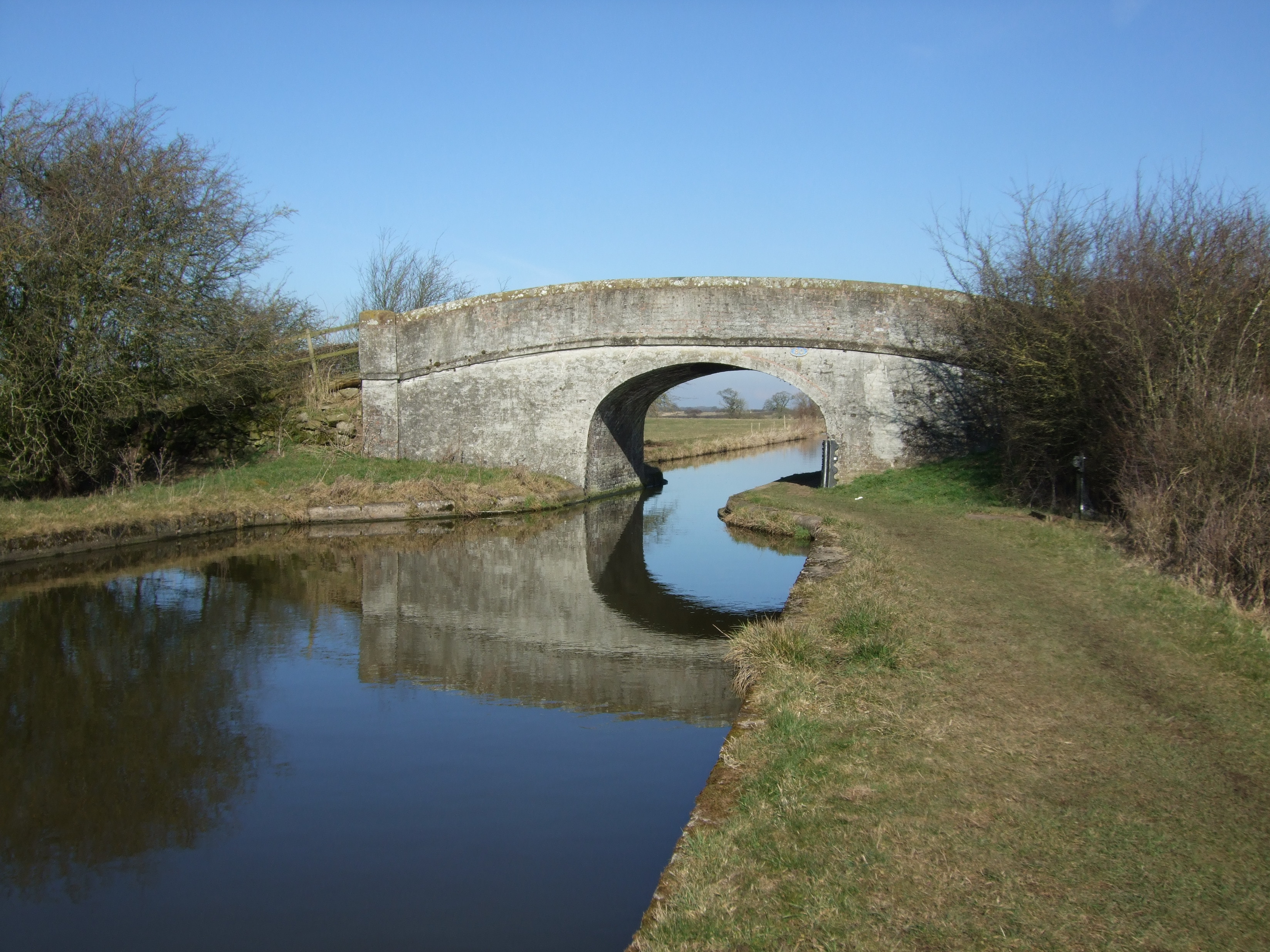
Shropshire Union Canal - Wardle Farm Bridge - geograph.org.uk - 129559.jpg - GeographBot

Shropshire union Canal, Calveley Bridge - geograph.org.uk - 129551.jpg - GeographBot

Shropshire Union canal - geograph.org.uk - 304937.jpg - GeographBot

Waiting for the lock at Coxbank Bridge, Shropshire Union Canal - geograph.org.uk - 366551.jpg - GeographBot

Halls Lock nr. Church Lawton - geograph.org.uk - 415973.jpg - GeographBot

Bunbury Locks - geograph.org.uk - 447503.jpg - GeographBot

Canal, Rail and Road by the Northgate Locks - geograph.org.uk - 562159.jpg - GeographBot

Northgate Locks and St Martins Way - geograph.org.uk - 563466.jpg - GeographBot

Shropshire Union Canal - old railway crossing - geograph.org.uk - 578918.jpg - GeographBot

Shropshire Union Canal - old railway crossing - geograph.org.uk - 578969.jpg - GeographBot

West Coast Main Line and Shropshire Union Canal near Clive Green - geograph.org.uk - 573585.jpg - GeographBot

Coxbank Bridge, Shropshire Union Canal, Cheshire - geograph.org.uk - 580010.jpg - GeographBot

Grazing by Coxbank Bridge, Shropshire Union Canal, Cheshire - geograph.org.uk - 580004.jpg - GeographBot

St Oswald's Way crossing the canal - geograph.org.uk - 630904.jpg - GeographBot
Bridge over the Shropshire Union Canal - geograph.org.uk - 678338.jpg - GeographBot

Bridge over the Shropshire Union Canal - geograph.org.uk - 678343.jpg - GeographBot

Bridge over the Shropshire Union Canal - geograph.org.uk - 678350.jpg - GeographBot

Bridge over the Shropshire Union Canal - west - geograph.org.uk - 678362.jpg - GeographBot

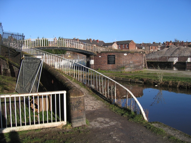
Lift Bridge and the Water Tower - geograph.org.uk - 679374.jpg - GeographBot

Lift bridge over the Dee Basin - geograph.org.uk - 679366.jpg - GeographBot

Lock gates under South View Road - geograph.org.uk - 678260.jpg - GeographBot

Chester - iron roving bridge on the Shropshire Union Canal - geograph.org.uk - 794183.jpg - GeographBot

Bottom lock on the Northgate flight - geograph.org.uk - 819918.jpg - GeographBot

Cow Lane Bridge no.123E - geograph.org.uk - 818280.jpg - GeographBot

Filling the top lock on the Northgate flight - geograph.org.uk - 819995.jpg - GeographBot

Railway bridge 123J below Northgate locks - geograph.org.uk - 815067.jpg - GeographBot

Chester Mill Hotel - geograph.org.uk - 823896.jpg - GeographBot

Coal boat N B Starling departs Nanneys bridge wharf - geograph.org.uk - 865026.jpg - GeographBot

Wardle Hall bridge ( No 103 ) on the Shropshire Union canal - geograph.org.uk - 868819.jpg - GeographBot

Audlem Top Lock as seen through Coxbank Bridge - geograph.org.uk - 965169.jpg - GeographBot

Canal Bridge, Audlem - geograph.org.uk - 966197.jpg - GeographBot

Crossing the Canal - geograph.org.uk - 1060875.jpg - GeographBot

Canal lock basin below the flight of Northgate Locks - geograph.org.uk - 1332631.jpg - GeographBot

Shropshire Union Canal at Audlem, Cheshire - geograph.org.uk - 1330917.jpg - GeographBot

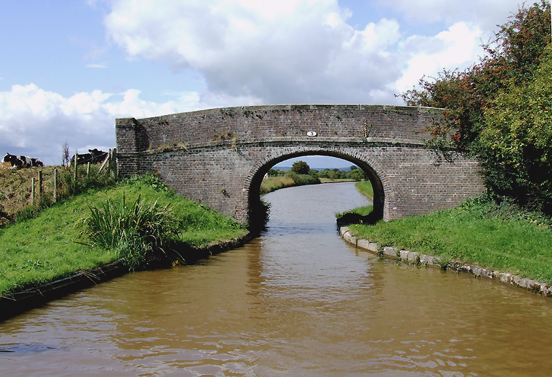
Beeston-brook Bridge - geograph.org.uk - 1350588.jpg - GeographBot

NCR 5 and the canal - geograph.org.uk - 1442857.jpg - GeographBot

Canal path, Christleton - geograph.org.uk - 1558858.jpg - GeographBot

Christleton Bridge - geograph.org.uk - 1558832.jpg - GeographBot

Audlem Top Lock and Coxbank Bridge, Cheshire - geograph.org.uk - 1597145.jpg - GeographBot

Lock gates and Coxbank Bridge, Cheshire - geograph.org.uk - 1597167.jpg - GeographBot

Shropshire Union Canal at Coxbank, Cheshire - geograph.org.uk - 1597596.jpg - GeographBot

Bridge No 78 at Audlem, Cheshire - geograph.org.uk - 1602599.jpg - GeographBot

Lock gates and bridge south of Audlem, Cheshire - geograph.org.uk - 1603804.jpg - GeographBot

Remains of railway bridge over the Shropshire Union Canal - geograph.org.uk - 1690992.jpg - GeographBot

Shropshire Union Canal - old railway crossing - geograph.org.uk - 1690941.jpg - GeographBot

Audlem Bridge (No 78), Shropshire Union Canal, Cheshire - geograph.org.uk - 1704598.jpg - GeographBot

Bennetts Bridge (No 80) near Audlem, Cheshire - geograph.org.uk - 1703060.jpg - GeographBot

Bennetts Bridge (No 80) near Audlem, Cheshire - geograph.org.uk - 1703070.jpg - GeographBot

Lock No 2 and Bridge No 86 at Hack Green, Cheshire - geograph.org.uk - 1701318.jpg - GeographBot

Lock No 2 and Bridge No 86 at Hack Green, Cheshire - geograph.org.uk - 1701323.jpg - GeographBot

Shropshire Union Canal - old railway crossing - geograph.org.uk - 1701578.jpg - GeographBot

Shropshire Union Canal north of Audlem, Cheshire - geograph.org.uk - 1702857.jpg - GeographBot

Shropshire Union Canal south of Bennetts Bridge near Audlem - geograph.org.uk - 1703073.jpg - GeographBot
Approaching bridge 80 at Audlem - geograph.org.uk - 1748947.jpg - GeographBot

Lock 15 and bridge 79 Shropshire Union Canal Audlem - geograph.org.uk - 1751562.jpg - GeographBot
Canal near Newton.jpg - File Upload Bot (Magnus Manske)
Canal near Newton2.jpg - File Upload Bot (Magnus Manske)

Stanlow Canalside Trail (7).JPG - Rept0n1x

Bridge over the Shropshire Union Canal near Ellesmere Port (1).JPG - Rept0n1x

Bridge over the Shropshire Union Canal near Ellesmere Port (2).JPG - Rept0n1x

Bridge over the Shropshire Union Canal near Ellesmere Port (3).JPG - Rept0n1x

Bridge over the Shropshire Union Canal near Ellesmere Port (4).JPG - Rept0n1x

Bridge 20, Shropshire Union Canal.jpg - Geograph Update Bot

Salmon's Bridge, Waverton.jpg - Geograph Update Bot

Bunbury Bridge.jpg - Peter I. Vardy

Bridge No 168, Middlewich.jpg - Peter I. Vardy

Bridge No 80, Shropshire Union Canal.jpg - Peter I. Vardy
Sandholes Bridge.jpg - Geograph Update Bot
Rutter's Bridge.jpg - Geograph Update Bot

Calveley Shropshire Union Canal geograph-4092578-by-Ben-Brooksbank.jpg - Chevin
Mollington, UK - panoramio.jpg - Panoramio upload bot

Chester, UK - panoramio - IIya Kuzhekin (39).jpg - Panoramio upload bot

Middlewich banner Bridge No 30.jpg - AlasdairW

Shropshire Union Canal south of Hack Green, Cheshire (geograph 6569769).jpg - Seagull123

Road, rail and canal in Chester - geograph.org.uk - 1983558.jpg - GeographBot

Frozen Canal, Chester - geograph.org.uk - 2268404.jpg - GeographBot

Shropshire Union Canal at Hack Green, Cheshire - geograph.org.uk - 2773572.jpg - GeographBot

Bridge 123k Chester Canal - geograph.org.uk - 2801920.jpg - GeographBot

Old Port Square Lift Bridge Chester - geograph.org.uk - 2802020.jpg - GeographBot

Footbridge over the Shropshire Union Canal - geograph.org.uk - 2842740.jpg - GeographBot

Roving Bridge over the Shropshire Union Canal - geograph.org.uk - 2842772.jpg - GeographBot

Old Roving Bridge and New Apartments at Tower Wharf - geograph.org.uk - 2842789.jpg - GeographBot

Bridge 123L over the Shropshire Union Canal - geograph.org.uk - 2842820.jpg - GeographBot

Tower Wharf on the Shropshire Union Canal Chester - geograph.org.uk - 3333642.jpg - GeographBot

Shropshire Union Canal. Chester - geograph.org.uk - 3347355.jpg - GeographBot

Bunbury Lock Bridge, Shropshire Union Canal - geograph.org.uk - 3658516.jpg - GeographBot

Ducks on the canal, Chester - geograph.org.uk - 4138496.jpg - GeographBot

Canal bridge, Chester - geograph.org.uk - 4138583.jpg - GeographBot

St Martin's Way - geograph.org.uk - 4535512.jpg - GeographBot

Over the canal - geograph.org.uk - 4537650.jpg - GeographBot

The Canal Basin from Chester City Walls - geograph.org.uk - 4899300.jpg - GeographBot

Seller Street bridge, Chester - geograph.org.uk - 6173073.jpg - GeographBot

Old Port Square Lift Bridge 126D - geograph.org.uk - 6177445.jpg - GeographBot

South View Road Bridge 126C - geograph.org.uk - 6177461.jpg - GeographBot

Canal link to the River Dee, Chester - geograph.org.uk - 6285779.jpg - GeographBot

Lock under South View Road bridge - geograph.org.uk - 6285787.jpg - GeographBot

Shropshire Union Canal, - link to R Dee by Earls Port, Chester - geograph.org.uk - 6330919.jpg - GeographBot

Footbridge over the Shropshire Union Canal at Tower Wharf - geograph.org.uk - 7686715.jpg - GeographBot