Wikimedi'Òc
Modes d'emploi

Cet album fait partie des albums
Cet album photos contient les sous-albums suivants :


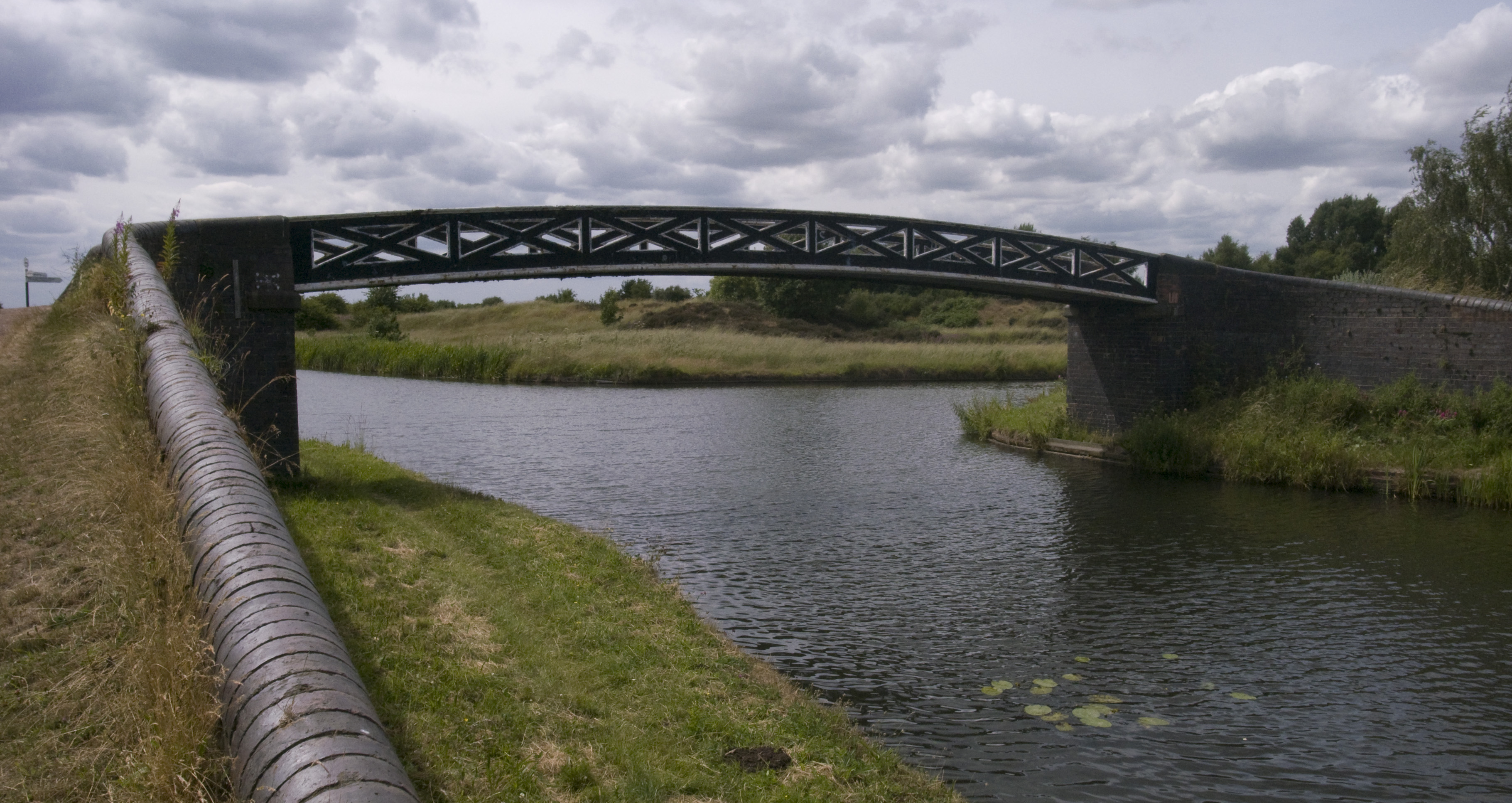
Tame Valley Canal at Brickfields Turnover - geograph.org.uk - 6927804.jpg - GeographBot

Brindleyplace Birmingham.jpg - Kafuffle

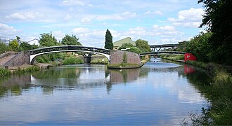
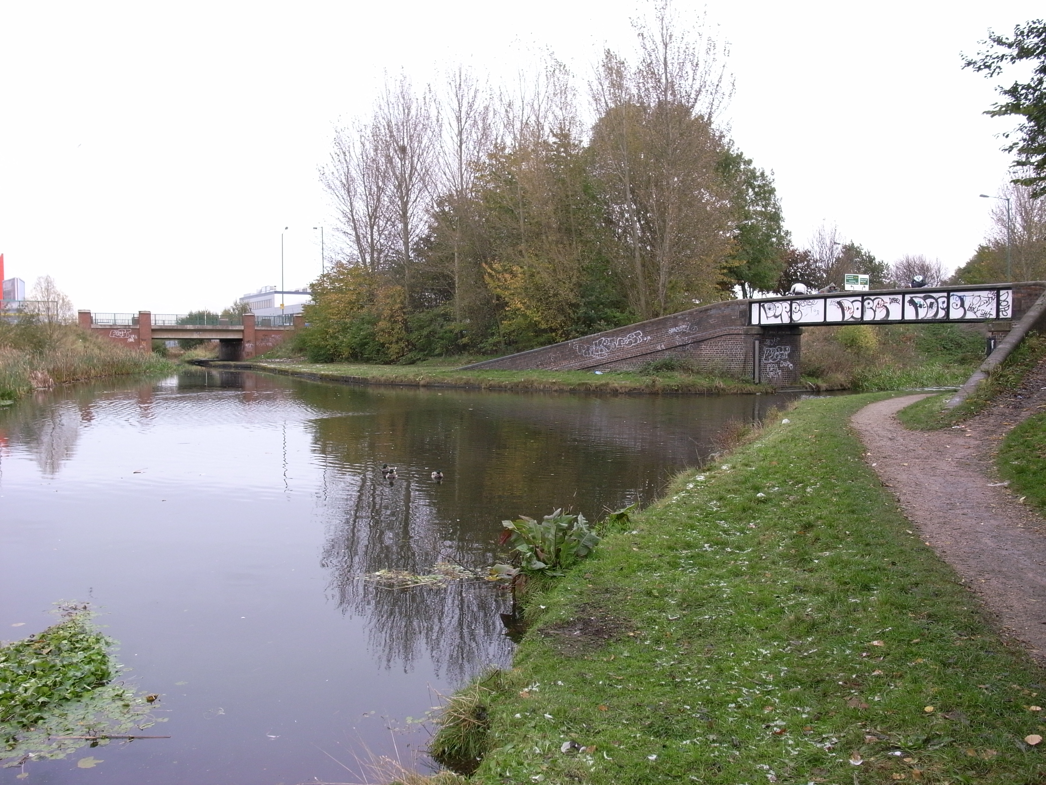
Spaghetti Junction from Tame Valley Canal.jpg - Loganberry~commonswiki

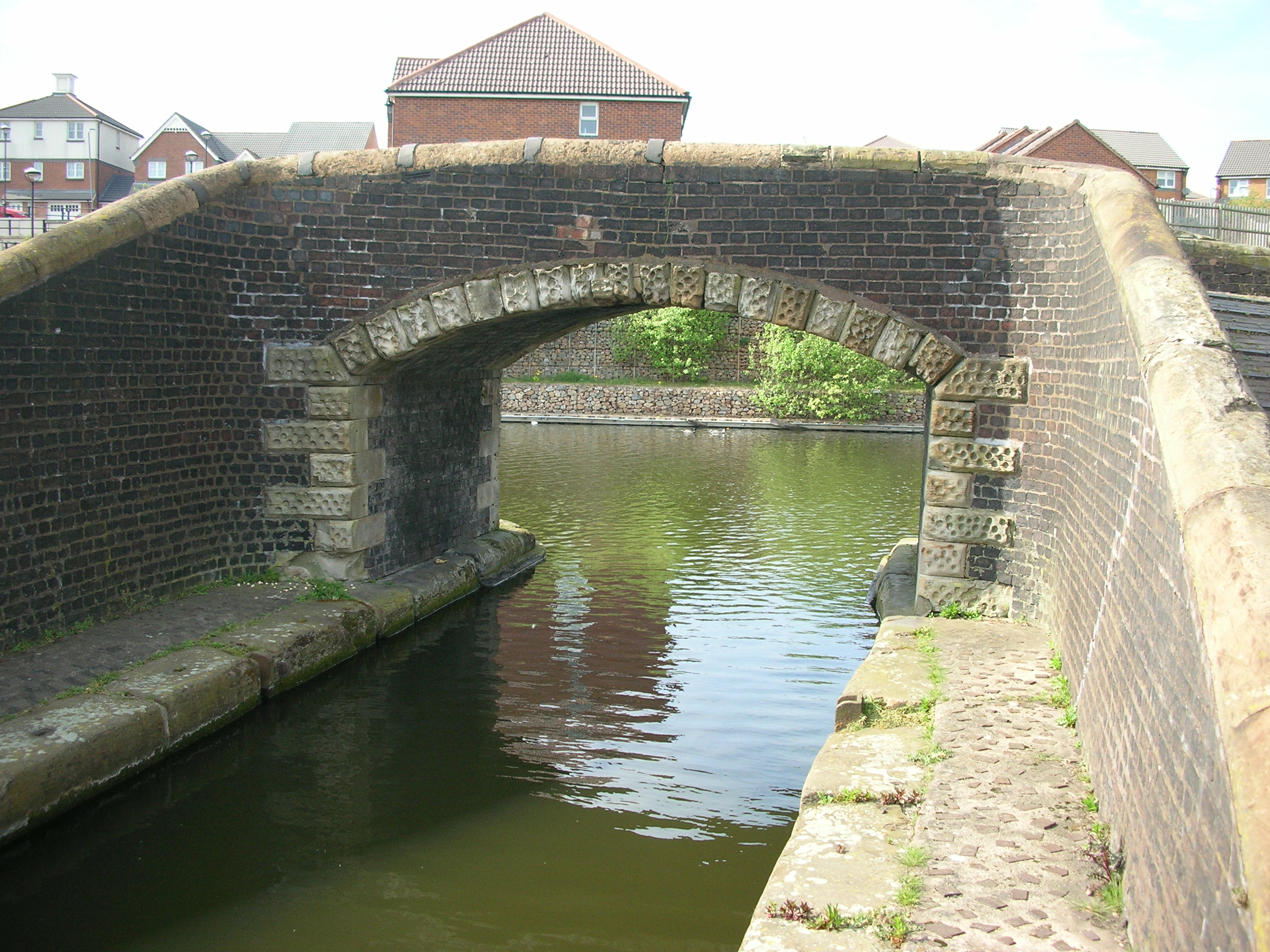
Bridge canal longford 3u07.JPG - Snowmanradio~commonswiki

Farmers Bridge Lock 9.jpg - Oosoom
Engine Arm Aqueduct roving bridge.jpg - Oosoom

Salford Junction, Tame Valley toll island.jpg - Oosoom
Kings Norton Junction.jpg - Oosoom

Brades staircase locks and Brades Hall Junction, Gower Branch.jpg - Oosoom

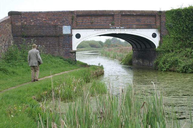
Horseley Iron Works name on bridge at Smethwick Junction.jpg - Oosoom

Bromford Junction.jpg - Oosoom

Bromford Junction and Spon Lane bottom lock.jpg - Oosoom

Aldersley Junction and Wolverhampton bottom lock.jpg - Oosoom
Ocker Hill Tunnel Branch Junction.jpg - Oosoom
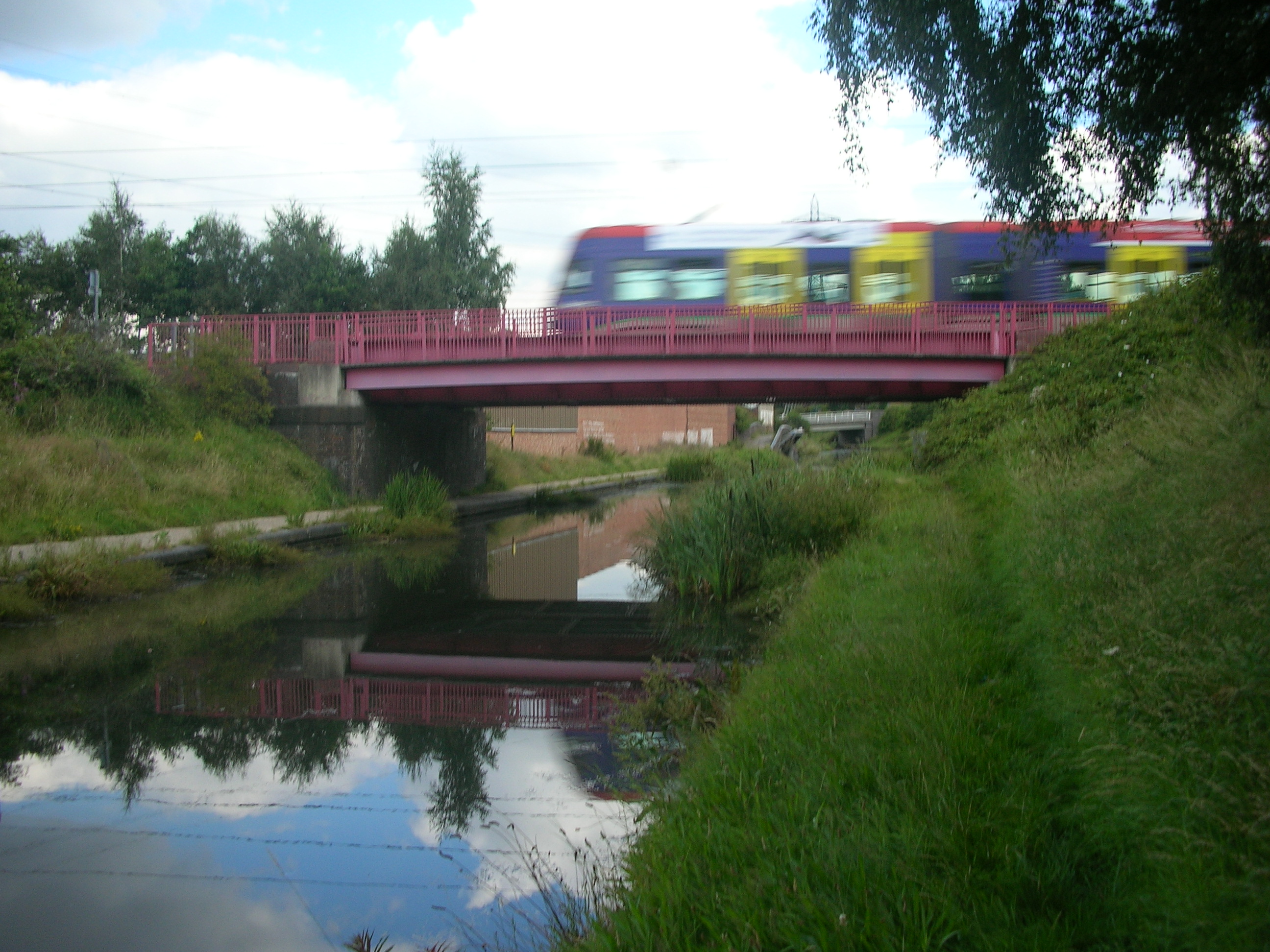
Midland Metro over Tame Valley Canal.jpg - Oosoom

Rushall Canal bridge and bottom lock.jpg - Oosoom

Rushall Junction.jpg - Oosoom

Pudding Green Junction and the Wednesbury Old Canal.jpg - Oosoom

Spon Lane Junction signpost.jpg - Oosoom

Spon Lane top lock and junction.jpg - Oosoom
Birchills Junction.jpg - Oosoom

Smestow Brook 06 Dunstall Water Bridge.JPG - Sjwells53
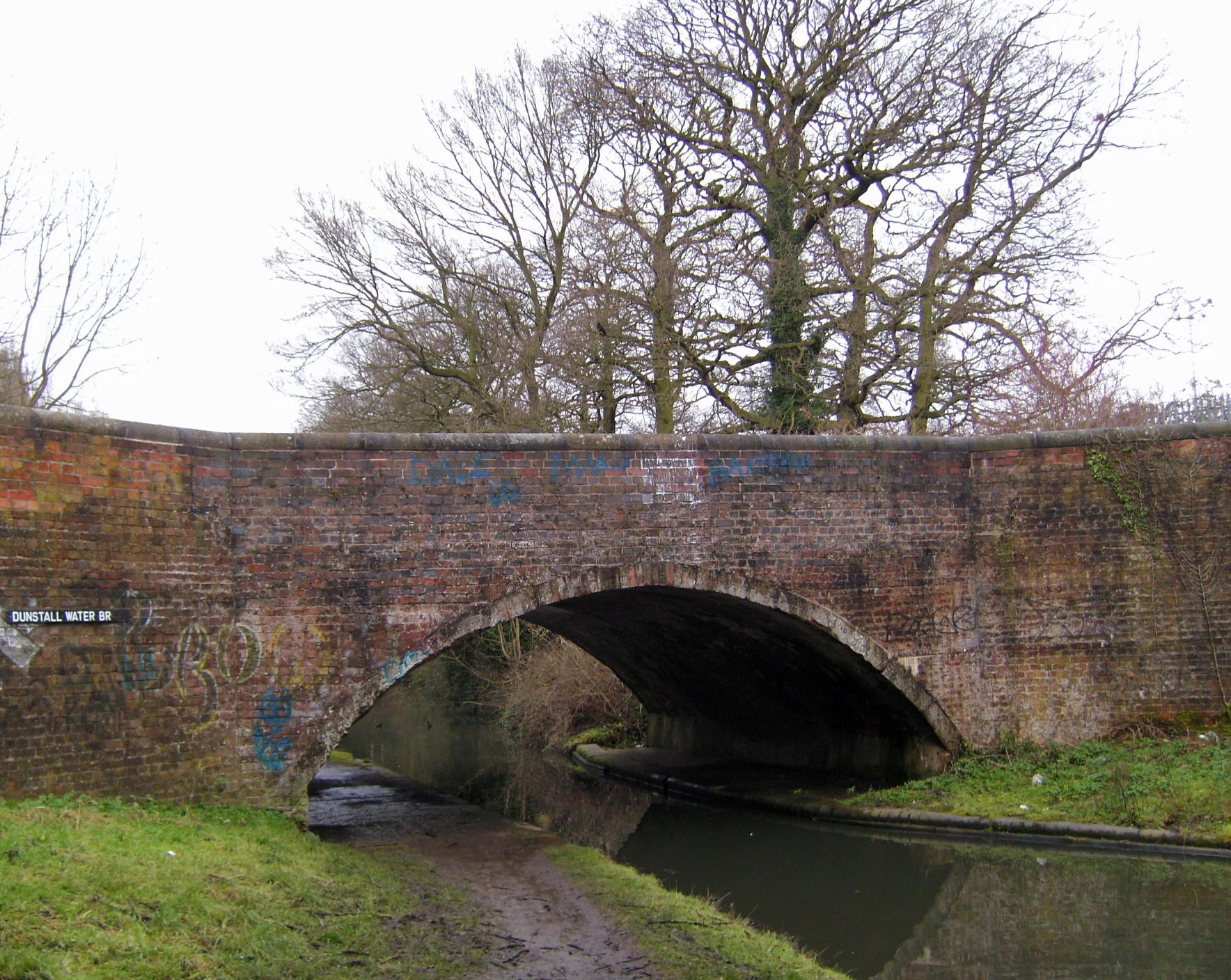
Smestow Brook 07 Dunstall Water Bridge.JPG - Sjwells53

Canal at Gravelly Hill Interchange - 2009-03-19.jpg - Pek the Penguin

Sheepcote Street Bridge over the Birmingham Canal Navigation Main Line.jpg - File Upload Bot (Magnus Manske)

Lower Ocker Branch - geograph.org.uk - 2685.jpg - GeographBot

Parkhead Locks Junction. - geograph.org.uk - 27750.jpg - GeographBot

Birmingham and Worcester Canal - geograph.org.uk - 52178.jpg - GeographBot

Gas Street Basin. - geograph.org.uk - 127466.jpg - GeographBot

Blackbrook Junction - geograph.org.uk - 138263.jpg - GeographBot

Canal scene between the NIA and the Sealife Centre - geograph.org.uk - 131291.jpg - GeographBot

Original Canal Route. - geograph.org.uk - 168445.jpg - GeographBot
Wyrley and Essington Canal - geograph.org.uk - 169871.jpg - GeographBot

Stratford upon Avon Canal bridge - geograph.org.uk - 175098.jpg - GeographBot

Worcester and Birmingham Canal Canal Bridge, Parsons Hill - geograph.org.uk - 175090.jpg - GeographBot

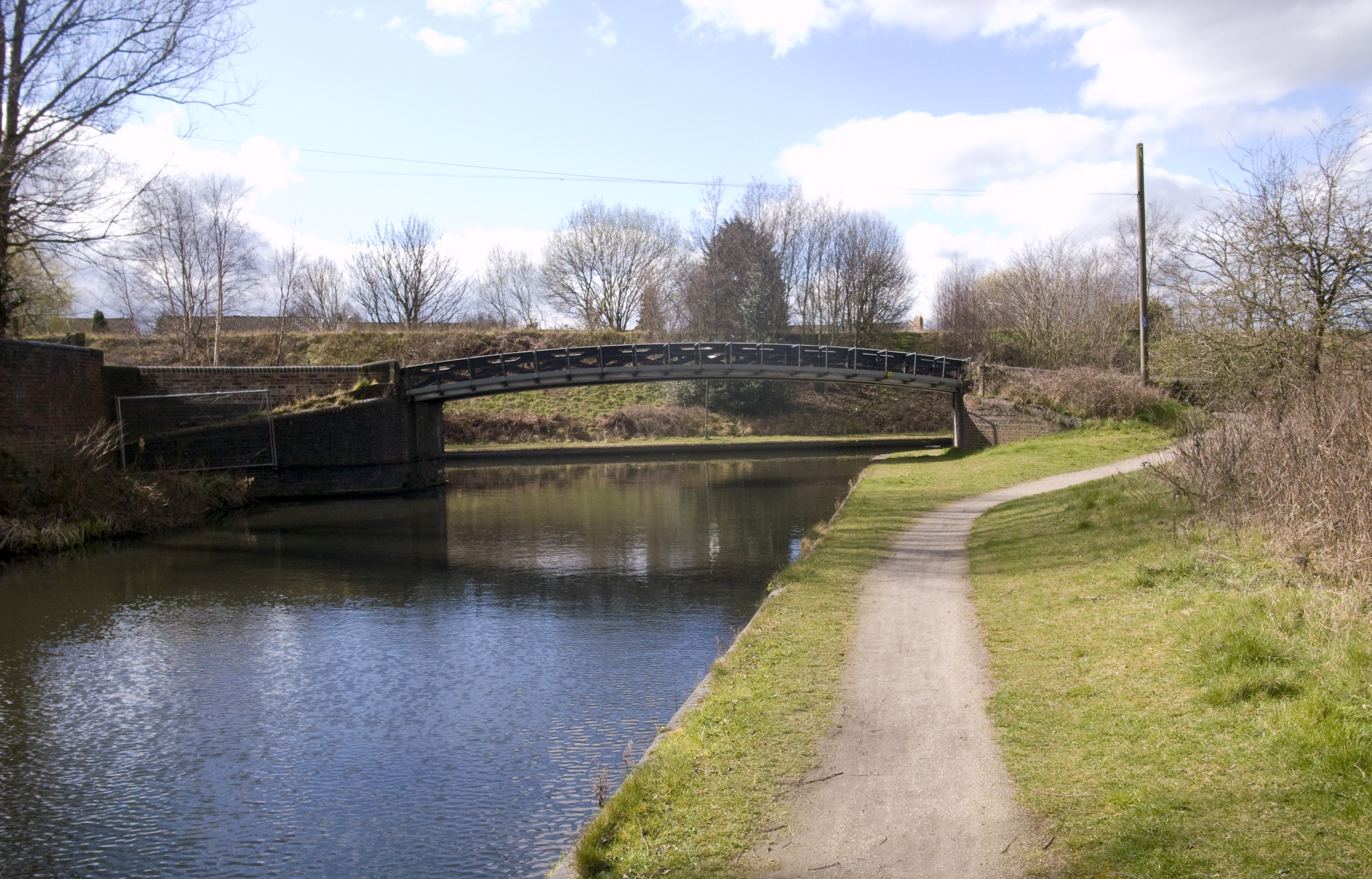
Dunstall Water Bridge - geograph.org.uk - 209704.jpg - GeographBot

St Vincent Street Bridge, Birmingham Canal Navigations - geograph.org.uk - 186387.jpg - GeographBot

Course of the Lapal Canal - geograph.org.uk - 227313.jpg - GeographBot

Tettenhall Old Bridge - geograph.org.uk - 205347.jpg - GeographBot

Western Road Bridge - geograph.org.uk - 234731.jpg - GeographBot
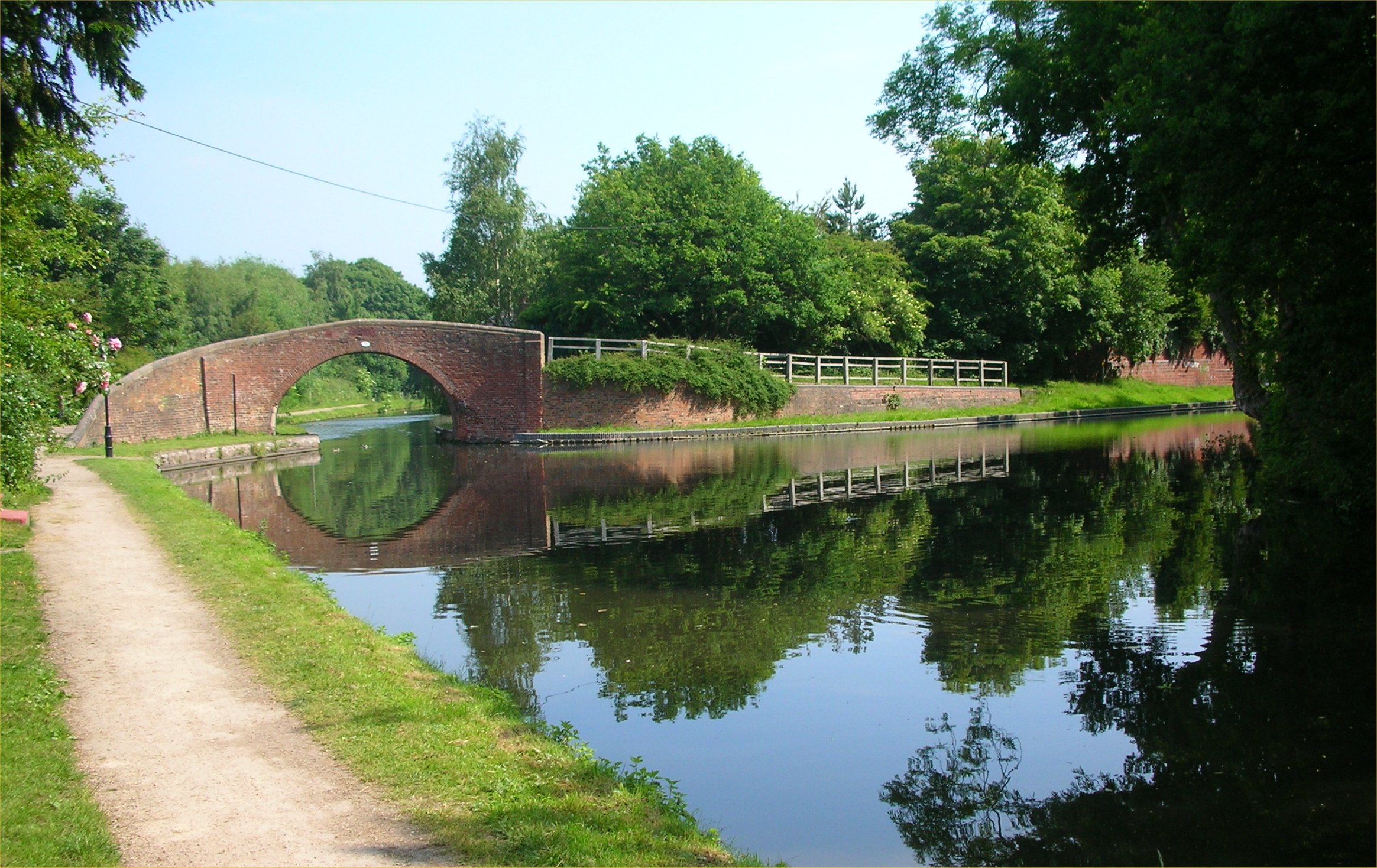
Pelsall Junction.jpg - Oosoom

Birmingham - Canaux 5.JPG - Christophe.Finot

Smethwick Lock Bridge.jpg - Slick-o-bot

Castle Bridge - geograph.org.uk - 299198.jpg - GeographBot

Devils Elbow - geograph.org.uk - 299190.jpg - GeographBot

Footway over the Devils Elbow Bridge - geograph.org.uk - 299194.jpg - GeographBot

Green canal under the Olinthus Bridge - geograph.org.uk - 299206.jpg - GeographBot

Moathouse Lane Bridge - geograph.org.uk - 299184.jpg - GeographBot

Aldersley bridge.jpg - Æthelred

Bentley Canal Bridge - geograph.org.uk - 334366.jpg - GeographBot

New Cross Bridge - geograph.org.uk - 334359.jpg - GeographBot

Gas Street Reflections - geograph.org.uk - 399016.jpg - GeographBot

Tettenhall New Bridge, Bridge No 62 - geograph.org.uk - 408703.jpg - GeographBot

Canal Bridge at the bottom of Hyde Road - geograph.org.uk - 417496.jpg - GeographBot

Bridge 65 on the Staffs and Worcs Canal - geograph.org.uk - 427086.jpg - GeographBot

Worcester Bar, Gas Street Basin - geograph.org.uk - 429888.jpg - GeographBot

Wightwick Bridge, No. 57, Staffordshire and Worcestershire Canal - geograph.org.uk - 475043.jpg - GeographBot

Wightwick Bridge and Lock, Staffordshire and Worcestershire Canal - geograph.org.uk - 475037.jpg - GeographBot

Brick Kiln Bridge - geograph.org.uk - 508102.jpg - GeographBot
Pelsall Junction, Wyrley and Essington Canal - geograph.org.uk - 516141.jpg - GeographBot

B5011 Bridge, Anglesey Branch Canal - geograph.org.uk - 521352.jpg - GeographBot

Burntwood Bridge, Anglesey Branch - geograph.org.uk - 521341.jpg - GeographBot

Canal Flats - geograph.org.uk - 535846.jpg - GeographBot

Canal and Flats - geograph.org.uk - 535839.jpg - GeographBot

Oxley Railway Bridge - geograph.org.uk - 579482.jpg - GeographBot

Bridge 3 - geograph.org.uk - 605071.jpg - GeographBot

Bridge 4 - geograph.org.uk - 605042.jpg - GeographBot

Bridge 4 East - geograph.org.uk - 605051.jpg - GeographBot

Pipe bridge - geograph.org.uk - 605047.jpg - GeographBot

Compton Bridge (No 60), Staffordshire and Worcestershire Canal - geograph.org.uk - 623157.jpg - GeographBot

Meccano Bridge over the Staffordshire and Worcestershire Canal, Wolverhampton - geograph.org.uk - 623881.jpg - GeographBot

Central Drive Bridge - geograph.org.uk - 675206.jpg - GeographBot

Bridge 63, Staffordshire and Worcestershire Canal, Wolverhampton - geograph.org.uk - 689449.jpg - GeographBot

Bridge No 61, Staffordshire and Worcestershire Canal, Wolverhampton - geograph.org.uk - 689550.jpg - GeographBot

Coombeswood Bridge - geograph.org.uk - 688766.jpg - GeographBot

Staffordshire and Worcestershire Canal near Wolverhampton - geograph.org.uk - 689469.jpg - GeographBot

Birmingham and Fazeley Canal - geograph.org.uk - 724482.jpg - GeographBot

Bridges over the Coventry Canal - geograph.org.uk - 735089.jpg - GeographBot

Oxford Canal passing under Alderman's Green Road - geograph.org.uk - 735095.jpg - GeographBot

Stephenson Avenue Bridge - Birchills Canal - geograph.org.uk - 854382.jpg - GeographBot

Stoke's Bridge -Wyrley and Essington Canal - geograph.org.uk - 854223.jpg - GeographBot

Stubbs Bridge - Wyrley and Essington Canal - geograph.org.uk - 854323.jpg - GeographBot

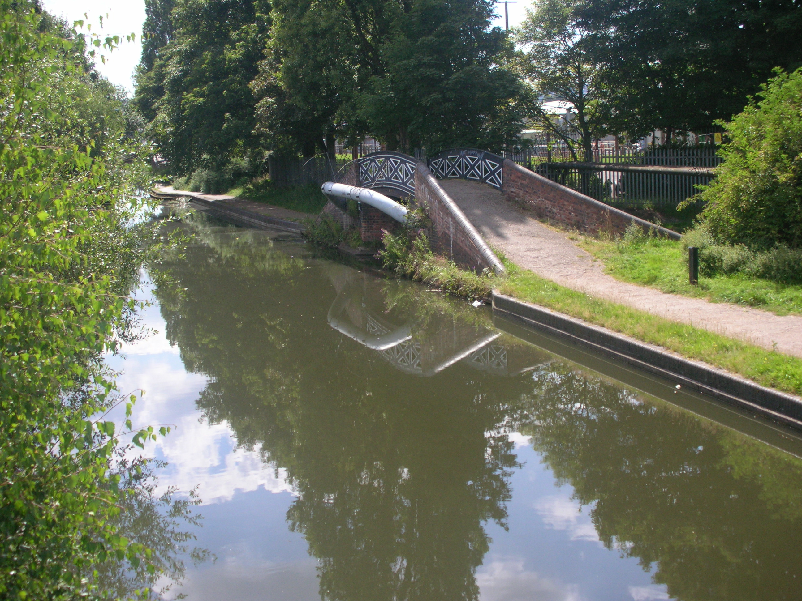
Underneath Stephenson Avenue Bridge - Birchills Canal - geograph.org.uk - 854392.jpg - GeographBot

Bridge 88 - Worcester and Birmingham Canal - geograph.org.uk - 861283.jpg - GeographBot

Walsall Branch Canal - Birchills Bridge - geograph.org.uk - 884469.jpg - GeographBot

Walsall Branch Canal - Birchills Street Bridge - geograph.org.uk - 884416.jpg - GeographBot

Wyley and Essington Canal - Ward's Bridge - geograph.org.uk - 916043.jpg - GeographBot

Wyrley and Essington Canal - Church Bridge - geograph.org.uk - 914860.jpg - GeographBot

Wyrley and Essington Canal - Disused Railway Bridge - geograph.org.uk - 915997.jpg - GeographBot

Staffs and Worcs Canal - Aldersley Bridge - geograph.org.uk - 938843.jpg - GeographBot

Canal by Gas Street Basin, Birmingham - geograph.org.uk - 964993.jpg - GeographBot

Former canal stop lock by Gas Street Basin, Birmingham - geograph.org.uk - 965026.jpg - GeographBot

The Worcester Bar, by Gas Street, Birmingham - geograph.org.uk - 965049.jpg - GeographBot

The Malt House at Old Turn Junction, Birmingham Canal Navigations - geograph.org.uk - 990022.jpg - GeographBot

Drapers Fields Bridge, Coventry Canal - geograph.org.uk - 1018552.jpg - GeographBot

Priestley's Bridge, Coventry Canal - geograph.org.uk - 1017361.jpg - GeographBot

Red Lane Old Bridge, Coventry Canal - geograph.org.uk - 1017237.jpg - GeographBot

Red Lane Old Bridge, Coventry Canal - geograph.org.uk - 1017249.jpg - GeographBot

Longford Bridge, Coventry Canal - geograph.org.uk - 1022036.jpg - GeographBot

Birmingham New Road Bridge - geograph.org.uk - 1095589.jpg - GeographBot

Netherton Tunnel Branch Canal - geograph.org.uk - 1098886.jpg - GeographBot

Staffordshire and Worcestershire Canal near Autherley Junction - geograph.org.uk - 1094643.jpg - GeographBot

Dudley No 2 Canal - geograph.org.uk - 1111610.jpg - GeographBot

Oldbury - Gower Branch Canal Junction - geograph.org.uk - 1173283.jpg - GeographBot

Pot House Bridge - Bradley Arm Canal - geograph.org.uk - 1234654.jpg - GeographBot

Brick Footbridge Over The River Rea, Ten Acres. - geograph.org.uk - 1240395.jpg - GeographBot

The old railway bridge across the S and W canal - geograph.org.uk - 1252461.jpg - GeographBot
The Staffordshire and Worcestershire Canal near Wolverhampton - geograph.org.uk - 1340912.jpg - GeographBot

"It must have been at least..." - geograph.org.uk - 1351950.jpg - GeographBot

Bridge and canal at Primrose Hill - geograph.org.uk - 1374675.jpg - GeographBot

Deans Road bridge across the Wyrley and Essington canal - geograph.org.uk - 1410010.jpg - GeographBot

Wyrley and Essington Canal Railway Bridge - geograph.org.uk - 1425318.jpg - GeographBot

Bishtons Bridge - geograph.org.uk - 1473398.jpg - GeographBot

Netherton Tunnel Bridge - geograph.org.uk - 1474718.jpg - GeographBot

Bullfield Bridge - geograph.org.uk - 1494757.jpg - GeographBot

Bullfield Bridge - geograph.org.uk - 1494760.jpg - GeographBot

Black Country Boat Festival - geograph.org.uk - 1513869.jpg - GeographBot

Dudley No 1 Canal - geograph.org.uk - 1510370.jpg - GeographBot

Breaches Pool viewed from the Lapal Canal towpath - geograph.org.uk - 1569368.jpg - GeographBot

Bradley Arm Canal - Deepfields Bridge - geograph.org.uk - 1634370.jpg - GeographBot

Bradley Arm Canal - Deepfields Junction Footbridge - geograph.org.uk - 1634357.jpg - GeographBot

Braggs Farm Lane Bridge near Dickens Heath, Solihull - geograph.org.uk - 1719582.jpg - GeographBot

Bridge No 18 near Salter Street, Solihull - geograph.org.uk - 1718245.jpg - GeographBot

Bridge No 25 at Hockley Heath, Solihull - geograph.org.uk - 1716380.jpg - GeographBot

Bridge by former wharf at Hockley Heath, Solihull - geograph.org.uk - 1716384.jpg - GeographBot

Bridge by former wharf at Hockley Heath, Solihull - geograph.org.uk - 1716387.jpg - GeographBot

Waring's Green Road Bridge near Solihull - geograph.org.uk - 1717493.jpg - GeographBot

Bridge No 74 near Lifford, Birmingham - geograph.org.uk - 1727591.jpg - GeographBot

Bridge No 77 near Bournville, Birmingham. - geograph.org.uk - 1728351.jpg - GeographBot

Bridge No 77 near Bournville, Birmingham. - geograph.org.uk - 1728362.jpg - GeographBot

Bridge No 79 near Selly Oak, Birmingham - geograph.org.uk - 1729358.jpg - GeographBot

Bridge No 80 near Selly Oak, Birmingham - geograph.org.uk - 1729398.jpg - GeographBot

School Road Bridge at Warstock, Birmingham - geograph.org.uk - 1725094.jpg - GeographBot

School Road Bridge at Warstock, Birmingham - geograph.org.uk - 1725102.jpg - GeographBot

Stratford Canal near Shirley, Solihull - geograph.org.uk - 1723859.jpg - GeographBot

Warstock Lane Bridge, Birmingham - geograph.org.uk - 1725353.jpg - GeographBot

Worcester and Birmingham Canal near Lifford, Birmingham - geograph.org.uk - 1727693.jpg - GeographBot

Yardley Wood Road Bridge near Warstock, Birmingham - geograph.org.uk - 1725118.jpg - GeographBot

Bridge No 78 near Selly Park, Birmingham - geograph.org.uk - 1731703.jpg - GeographBot

Bridge No 78 near Selly Park, Birmingham - geograph.org.uk - 1731718.jpg - GeographBot

Bridge No 82 near Birmingham University - geograph.org.uk - 1730321.jpg - GeographBot

Bridge No 83 near Birmingham University - geograph.org.uk - 1730424.jpg - GeographBot

Bridge No 84 near Edgbaston, Birmingham - geograph.org.uk - 1730664.jpg - GeographBot

Bridges over the canal and the railway, Edgbaston, Birmingham - geograph.org.uk - 1730557.jpg - GeographBot

Gas Street Basin, Birmingham - geograph.org.uk - 1734183.jpg - GeographBot

Bricked up bridge by Birmingham to Wolverhampton canal - geograph.org.uk - 1759643.jpg - GeographBot

Detail on canal bridge at Rotton Park - geograph.org.uk - 1759464.jpg - GeographBot
Soho Loop Winson Green Junction.jpg - Oosoom

Spon Lane Junction and Chance building.jpg - Oosoom

Split bridge Spon Lane top lock 2.jpg - Oosoom

Split bridge Spon Lane top lock.jpg - Oosoom

Stewart Aqueduct and M5 struts.jpg - Oosoom

Harborne Railway bridge pier BCN Main Line panorama.jpg - Oosoom

Harborne Railway bridge pier BCN Main Line.jpg - Oosoom
Aston Junction Bridge.JPG - Brianboru100

Wightwick Bridge 57.JPG - Brianboru100

Wightwick Bridge 58.JPG - Brianboru100

Rope marks on the ironwork of a canal bridge.jpg - Tom Axford 1

Rope marks on the parapet of a canal bridge.jpg - Tom Axford 1

Western Road Bridge, Icknield Port Loop - 2025-05-27 - Andy Mabbett.jpg - Pigsonthewing