Wikimedi'Òc
Modes d'emploi

Cet album fait partie des albums
Cet album photos contient les sous-albums suivants :


Bridge 48 - geograph.org.uk - 483097.jpg - GeographBot
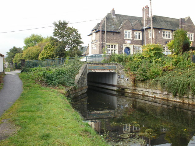
Crown Bridge, Sebastopol. Pontypool - geograph.org.uk - 1577134.jpg - GeographBot

Regent's Canal, Queen's Bridge - geograph.org.uk - 1728627.jpg - GeographBot
Bridge 48, view looking northwest at Milepost 48.63. The bridge is 641' long and 100' high - Camas Prairie Railroad, Second Subdivision, From Spalding in Nez Perce County, through Lewis HAER ID-41-71.tif - Fæ
Bridge 48, view towards the east at Milepost 48.63 - Camas Prairie Railroad, Second Subdivision, From Spalding in Nez Perce County, through Lewis County, to Grangeville in Idaho County, HAER ID-41-74.tif - Fæ
Bridge 48, view towards the east at Milepost 48.63 - Camas Prairie Railroad, Second Subdivision, From Spalding in Nez Perce County, through Lewis County, to Grangeville in Idaho County, HAER ID-41-72.tif - Fæ
Bridge 48, view towards the south at Milepost 48.63 - Camas Prairie Railroad, Second Subdivision, From Spalding in Nez Perce County, through Lewis County, to Grangeville in Idaho County, HAER ID-41-73.tif - Fæ

48A on WPH.jpg - Secretlondon

Low Moor station MRB 48.jpg - Secretlondon