×

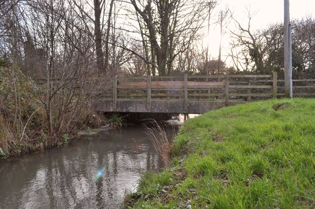
A bridge over Coney Gut near Maidenford as seen from downstream - geograph.org.uk - 2763219.jpg - GeographBot

A bridge on Victoria Street as seen downstream on Coney Gut - geograph.org.uk - 2755652.jpg - GeographBot

A bridge over Coney Gut near the Homebase store as seen from upstream - geograph.org.uk - 2760378.jpg - GeographBot

A bridge over Coney Gut near the Homebase store - geograph.org.uk - 2760382.jpg - GeographBot

A bridge over Coney Gut, near Town Walk, as seen from upstream - geograph.org.uk - 2755703.jpg - GeographBot

A bridge over Coney Gut near Waytown as seen from upstream - geograph.org.uk - 2763234.jpg - GeographBot

A cycle path near Rose Lane as seen from downstream on Coney Gut - geograph.org.uk - 2756378.jpg - GeographBot

A duct under Hollowtree Road as seen from downstream on Coney Gut - geograph.org.uk - 2755905.jpg - GeographBot

A view from upstream of the bridge which carries the northbound carriageway of the A361 over Bradiford Water at Pottington - geograph.org.uk - 2213131.jpg - GeographBot
❮
❯


