Wikimedi'Òc
Modes d'emploi

Cet album fait partie des albums
Cet album photos contient les sous-albums suivants :


Brompton road.jpg - Wjfox2005

Brompton Road, Knightsbridge - geograph.org.uk - 481142.jpg - Regan123~commonswiki

Central Hill Upper Norwood.jpg - Lumos3
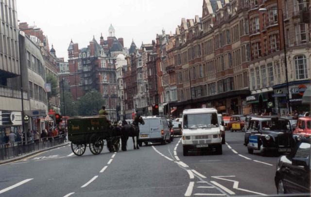
Brompton Rd, London looking north from Harrod's - geograph.org.uk - 2614.jpg - GeographBot

Kingston Gate into Richmond Park - geograph.org.uk - 9780.jpg - GeographBot

South Circular Road (A205) by Barnes Common. - geograph.org.uk - 27867.jpg - GeographBot

A214 Central Hill, Norwood SE19 - geograph.org.uk - 50527.jpg - GeographBot
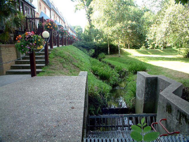
The Beck - geograph.org.uk - 33385.jpg - GeographBot

Surrey-Kent boundary near Addington - geograph.org.uk - 55036.jpg - GeographBot

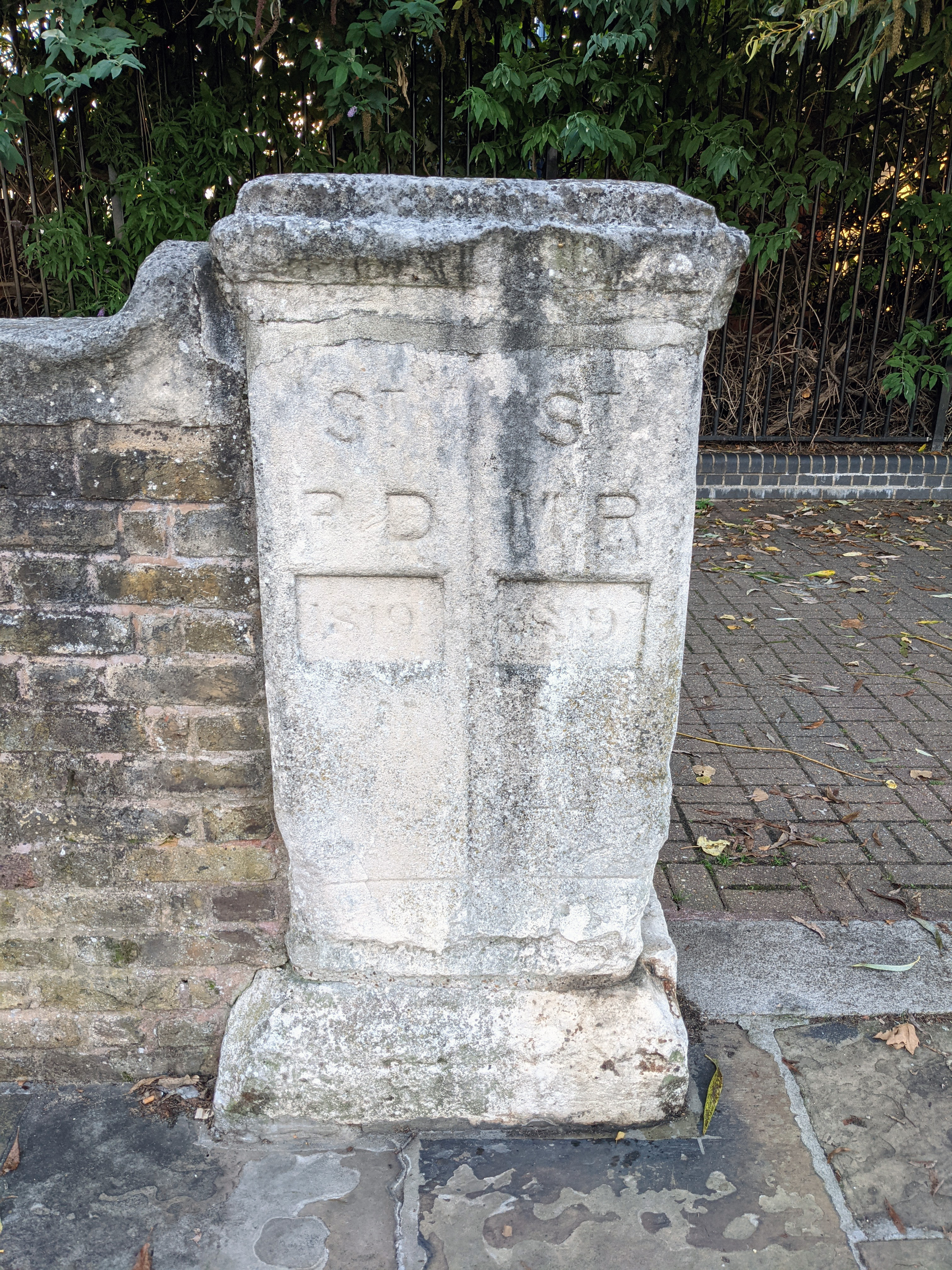
Bridge boundary marker - geograph.org.uk - 104099.jpg - GeographBot

Honeypot Lane, Queensbury - geograph.org.uk - 99158.jpg - GeographBot

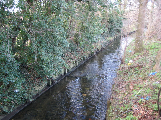
River Crane - geograph.org.uk - 104088.jpg - GeographBot

Kenton Road, Harrow, Middlesex - geograph.org.uk - 193884.jpg - GeographBot

The Broad Walk, Kensington Gardens - geograph.org.uk - 239983.jpg - GeographBot

The Havering Stone - geograph.org.uk - 336996.jpg - GeographBot

Brompton Road, Knightsbridge - geograph.org.uk - 480353.jpg - GeographBot

Brompton Road, looking North - geograph.org.uk - 480356.jpg - GeographBot

Plaques marking the boundary between Camden and Westminster - geograph.org.uk - 533099.jpg - GeographBot

Northolt, Pett's Hill railway bridge - geograph.org.uk - 596249.jpg - GeographBot

Morden, Love Lane - geograph.org.uk - 674761.jpg - GeographBot

Old Oak Road, W3 - geograph.org.uk - 679042.jpg - GeographBot
Beverley Brook in Motspur Park - geograph.org.uk - 689497.jpg - GeographBot

Beverley Brook in West Barnes - geograph.org.uk - 689539.jpg - GeographBot

River Crane - geograph.org.uk - 726136.jpg - GeographBot

The Broad Walk - geograph.org.uk - 840852.jpg - GeographBot

Welcome to Hammersmith and Fulham - geograph.org.uk - 892462.jpg - GeographBot

Boundary footpath, Trewsbury Road - geograph.org.uk - 943288.jpg - GeographBot

Boundary of the Cities of Westminster and London at Devereux Court - geograph.org.uk - 966964.jpg - GeographBot

A124 Longbridge Road Junction with Upney Lane - geograph.org.uk - 998315.jpg - Geograph Update Bot

Old Oak Road, W3 - geograph.org.uk - 1037351.jpg - GeographBot

Cat Hill, Cockfosters (A110) - geograph.org.uk - 1226752.jpg - GeographBot

Gipsy Hill, London SE19 - geograph.org.uk - 1336999.jpg - GeographBot

Boundary stone, Deptford Wharf - geograph.org.uk - 1492558.jpg - GeographBot

Plaque re the boundary stone, Deptford Wharf - geograph.org.uk - 1492561.jpg - GeographBot

Addison Gardens, London W14 - geograph.org.uk - 1549023.jpg - GeographBot

Crown Lane - geograph.org.uk - 1599256.jpg - GeographBot

City of Westminster boundary marker in The Strand - geograph.org.uk - 1651830.jpg - GeographBot

View down Crown Dale - geograph.org.uk - 1653989.jpg - Rotatebot

Kenton, Kenton Road - geograph.org.uk - 1780026.jpg - GeographBot

London Borough of Enfield street sign.jpg - Philafrenzy

Welcome to Haringey. N15.jpg - Oxyman

Honeypot Lane, Kingsbury - geograph.org.uk - 2276922.jpg - GeographBot
St Paul's Deptford and St Mary's Rotherhithe boundary stone.jpg - The wub

The boundary between the parishes of Cranford and Bedfont on Cranford Bridge - geograph.org.uk - 5911002.jpg - GeographBot

Honeypot Lane, Kingsbury - geograph.org.uk - 5946067.jpg - GeographBot

Entering Lambeth north of Clapham Common - geograph.org.uk - 6171017.jpg - GeographBot

Honeypot Lane (A4140) - geograph.org.uk - 6229183.jpg - GeographBot

Kingsbury - Honeypot Lane - geograph.org.uk - 6326013.jpg - GeographBot

Kingbury - Honeypot Lane - geograph.org.uk - 6329476.jpg - GeographBot

Welcome to Richmond upon Thames - geograph.org.uk - 6624230.jpg - GeographBot

Autumn colours in Regent's Park - geograph.org.uk - 7946698.jpg - GeographBot

North along the Broad Walk - geograph.org.uk - 7825032.jpg - GeographBot

South along the Broad Walk - geograph.org.uk - 7825031.jpg - GeographBot