Wikimedi'Òc
Modes d'emploi

Cet album fait partie des albums
Cet album photos contient les sous-albums suivants :


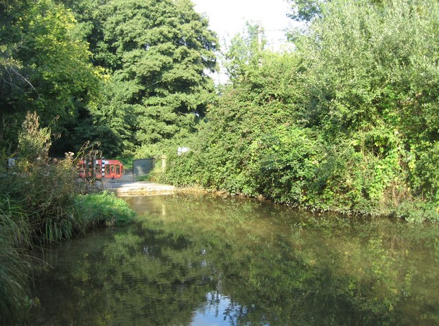
Crookham Wharf - geograph.org.uk - 101372.jpg - GeographBot

Plummers Water enters the Solent - geograph.org.uk - 464473.jpg - GeographBot

Plummers Water enters the Solent - one hour later - geograph.org.uk - 464481.jpg - GeographBot

Moon over Wetlands - geograph.org.uk - 693201.jpg - GeographBot

The end of the land - geograph.org.uk - 757531.jpg - GeographBot

Getting the take in the can - geograph.org.uk - 817911.jpg - GeographBot

The buoy and Colgrims - geograph.org.uk - 817904.jpg - GeographBot

Looking across Ibsley Water - geograph.org.uk - 836662.jpg - GeographBot

Looking across Ibsley Water from A338 - geograph.org.uk - 836683.jpg - GeographBot

Water extraction point on Ibsley Water - geograph.org.uk - 836673.jpg - GeographBot

Ditch, Gilkicker Point - geograph.org.uk - 877538.jpg - GeographBot

A visit from the family - geograph.org.uk - 902378.jpg - GeographBot

Pennington Marshes - geograph.org.uk - 902226.jpg - GeographBot
Mudflats, Hurst Spit - geograph.org.uk - 930718.jpg - GeographBot

Drainage Ditch - geograph.org.uk - 980556.jpg - GeographBot
Closed ford - geograph.org.uk - 1014348.jpg - GeographBot

Ibsley Water - geograph.org.uk - 1018855.jpg - GeographBot

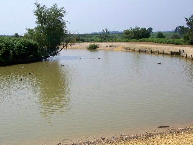
Cadman's Pool - geograph.org.uk - 1023847.jpg - GeographBot

Huckles Brook - geograph.org.uk - 1111549.jpg - GeographBot

Bright green weed - geograph.org.uk - 1122809.jpg - GeographBot

BP Hamble oil terminal - geograph.org.uk - 1143758.jpg - GeographBot

St. Mary's church across Anglesey Lake - geograph.org.uk - 1172108.jpg - GeographBot

Sunrise over Haslar creek - geograph.org.uk - 1172123.jpg - GeographBot

The Pilhill Brook, Abbotts Ann - geograph.org.uk - 1170226.jpg - GeographBot

Drain flowing into River Itchen - geograph.org.uk - 1227810.jpg - GeographBot

Jetties on Langstone foreshore - geograph.org.uk - 1222590.jpg - GeographBot

Confluence north of St Cross Mill - geograph.org.uk - 1230759.jpg - GeographBot

The ferry landing at Eastney - geograph.org.uk - 1272060.jpg - GeographBot

Cooper's Stream - geograph.org.uk - 1297110.jpg - GeographBot

Barely visible stream at Hurst Cottages - geograph.org.uk - 1321912.jpg - GeographBot

Moorings linked to R K Marine - geograph.org.uk - 1375465.jpg - GeographBot
Cadman's Pool - geograph.org.uk - 1387370.jpg - GeographBot

Plummers Water, Pylewell - geograph.org.uk - 1431810.jpg - GeographBot

Plummers Water - geograph.org.uk - 1431815.jpg - GeographBot

Pylewell Lagoon - geograph.org.uk - 1431717.jpg - GeographBot

Saltmarsh south of Lisle Court - geograph.org.uk - 1431597.jpg - GeographBot

Saltmarsh south of Lisle Court - geograph.org.uk - 1431600.jpg - GeographBot

Saltmarsh south of Lisle Court - geograph.org.uk - 1431602.jpg - GeographBot

Saltmarshes, Pylewell - geograph.org.uk - 1431793.jpg - GeographBot

Upper Clatford - Pool - geograph.org.uk - 1430973.jpg - GeographBot

Drainage ditch running towards Warwickslade Cutting - geograph.org.uk - 1441169.jpg - GeographBot

Linford Brook - geograph.org.uk - 1451756.jpg - GeographBot

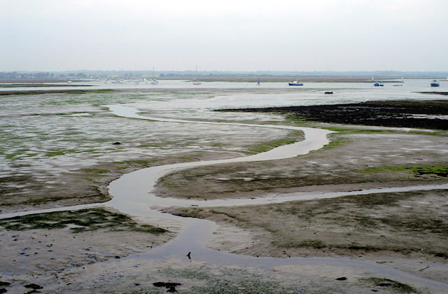
Lonely boat on the mud - geograph.org.uk - 1507340.jpg - GeographBot

Neck and Neck - geograph.org.uk - 1510959.jpg - GeographBot

Little Egret looking for a snack - geograph.org.uk - 1526015.jpg - GeographBot

Moat around Bastion No. 1 (1) - geograph.org.uk - 1540171.jpg - GeographBot

Moat around Bastion No. 1 (2) - geograph.org.uk - 1540181.jpg - GeographBot

Moat around Bastion No. 1 (3) - geograph.org.uk - 1542385.jpg - GeographBot

Mudflats by Solent Breezes - geograph.org.uk - 1585088.jpg - GeographBot

Come hell and high water, Santa will make it - geograph.org.uk - 1634041.jpg - GeographBot

Upper Lazy Bushes (2) - geograph.org.uk - 1721964.jpg - GeographBot

Claycart Stream - geograph.org.uk - 1743238.jpg - GeographBot

Channel of River Avon near South Charford Farm - geograph.org.uk - 1764056.jpg - GeographBot

In need of some tlc - geograph.org.uk - 1778672.jpg - GeographBot

A reflective moment in Hampshire - geograph.org.uk - 1804216.jpg - GeographBot

Mind the puddle - geograph.org.uk - 1801840.jpg - GeographBot

Narrow walking by harbor (Unsplash).jpg - Fæ