×

Approach to Dyer's Hall farm and Sundon Hills. - geograph.org.uk - 419.jpg - GeographBot

Roundabout on the A6 - geograph.org.uk - 420.jpg - GeographBot

Open land between Henlow and Langford, Beds - geograph.org.uk - 50738.jpg - GeographBot

Rose nursery, Broom, Beds - geograph.org.uk - 52419.jpg - GeographBot

Sewage Works west of Langford, Beds - geograph.org.uk - 50730.jpg - GeographBot

Hill above the houses - geograph.org.uk - 85609.jpg - GeographBot

Former Airfield - geograph.org.uk - 99837.jpg - GeographBot

Former Airfield - geograph.org.uk - 99842.jpg - GeographBot

Rivers near Priory country park - geograph.org.uk - 86693.jpg - GeographBot

Luton, M1 Motorway bridge - geograph.org.uk - 102094.jpg - GeographBot

Greensand Ridge Marker Stone - geograph.org.uk - 154149.jpg - GeographBot

Oats ^ - geograph.org.uk - 193404.jpg - GeographBot

Fast Food - geograph.org.uk - 221154.jpg - GeographBot

Sunset over crops - geograph.org.uk - 215106.jpg - GeographBot

Sunset over crops - geograph.org.uk - 215110.jpg - GeographBot

Horses and Houses - geograph.org.uk - 368767.jpg - GeographBot

Military facility - geograph.org.uk - 376531.jpg - GeographBot

Bedford Town FC's ground, Meadow Lane, Bedford - geograph.org.uk - 386251.jpg - GeographBot

Bridleway - geograph.org.uk - 382687.jpg - GeographBot

Lower Dean - geograph.org.uk - 383216.jpg - GeographBot

Lowfield Farm - geograph.org.uk - 387829.jpg - GeographBot

Near Melchborne - geograph.org.uk - 383243.jpg - GeographBot

Rectory - geograph.org.uk - 380951.jpg - GeographBot

Swading Hill - geograph.org.uk - 382690.jpg - GeographBot
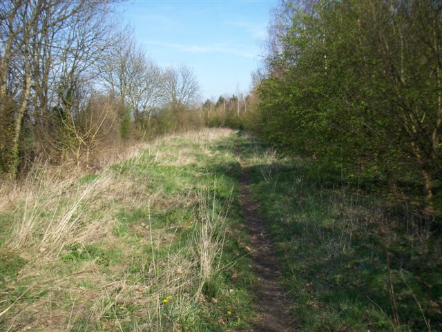
Bridleway - geograph.org.uk - 390299.jpg - GeographBot

Bridleway from Souldrop joins Yelnow Lane - geograph.org.uk - 393051.jpg - GeographBot

Bridleway joins Yelnow Lane from Podington Airfield - geograph.org.uk - 393058.jpg - GeographBot

Ditch feature - geograph.org.uk - 393084.jpg - GeographBot

East Side of Bagden Farm in Turvey Parish - geograph.org.uk - 394318.jpg - GeographBot

Field and Pylons A5120 nr Wingfield - geograph.org.uk - 395791.jpg - GeographBot

Little and Great Causey Woods - geograph.org.uk - 393071.jpg - GeographBot

New Farm to the North of Luton - geograph.org.uk - 390249.jpg - GeographBot

Southend Farm Shop - geograph.org.uk - 390809.jpg - GeographBot

Along Greensands Ridge Walk - geograph.org.uk - 400458.jpg - GeographBot

Bridleway near Park farm - geograph.org.uk - 405915.jpg - GeographBot

Cottage At Appley Corner - geograph.org.uk - 400479.jpg - GeographBot

Desolation - geograph.org.uk - 407448.jpg - GeographBot

Ditch feature on TL0931 - geograph.org.uk - 400417.jpg - GeographBot

Hedge and Trees NW Stanford Bury Farm - geograph.org.uk - 400439.jpg - GeographBot

Satellite dishes and old control tower - geograph.org.uk - 407096.jpg - GeographBot

The Obelisk in Chicksands Wood from the NE - geograph.org.uk - 400469.jpg - GeographBot
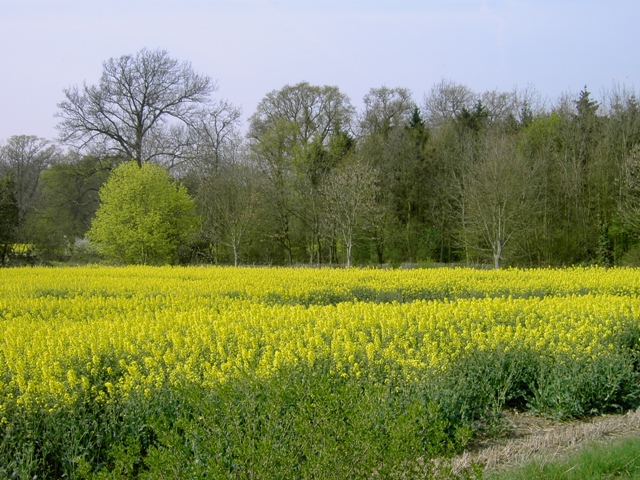
Tree Variety at Southill Park - geograph.org.uk - 400443.jpg - GeographBot
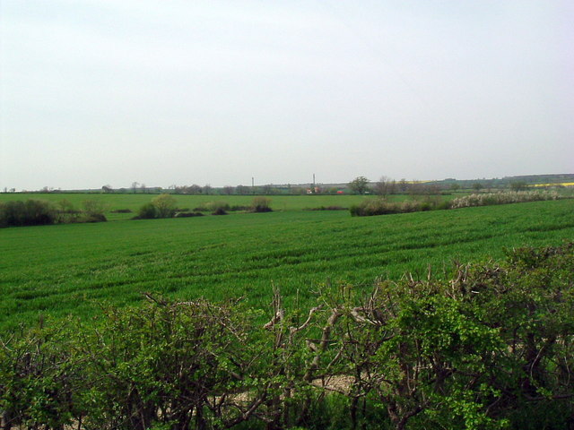
View northwest - geograph.org.uk - 405841.jpg - GeographBot

Viewing south - geograph.org.uk - 408139.jpg - GeographBot

Winter sown barley - geograph.org.uk - 408424.jpg - GeographBot

T Junction near Swineshead - geograph.org.uk - 416253.jpg - GeographBot

Ditch next to Wood Lane - geograph.org.uk - 426123.jpg - GeographBot

Kings Hill Cottages. - geograph.org.uk - 427155.jpg - GeographBot

Warden Great Wood - geograph.org.uk - 428195.jpg - GeographBot

Lodge Farm, Manor Wood in distance - geograph.org.uk - 432082.jpg - GeographBot

Northfield Farm, Great Barford - geograph.org.uk - 449739.jpg - GeographBot
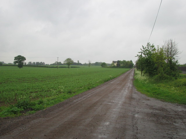
Lodge Farm - geograph.org.uk - 468219.jpg - GeographBot

Bourne End Farm - geograph.org.uk - 471971.jpg - GeographBot

Bridleway heading towards Thurleigh airfield - geograph.org.uk - 472211.jpg - GeographBot

Bridleway to Harrold - geograph.org.uk - 470614.jpg - GeographBot

Cottage at Ashbrook Farm - geograph.org.uk - 474312.jpg - GeographBot

Footbridge - geograph.org.uk - 474615.jpg - GeographBot

Grange Farm - geograph.org.uk - 471609.jpg - GeographBot

Mill Farm - geograph.org.uk - 472217.jpg - GeographBot

Oilseed rape at Ashbrook Farm - geograph.org.uk - 471989.jpg - GeographBot

Oilseed rape field and track (bridleway) - geograph.org.uk - 471963.jpg - GeographBot

Ripe oilseed rape pods - geograph.org.uk - 474307.jpg - GeographBot

Roxhill Manor Farm - geograph.org.uk - 474053.jpg - GeographBot

Roxhill Manor Farmyard - geograph.org.uk - 474188.jpg - GeographBot

Bridleway and footpath off the Thurleigh road - geograph.org.uk - 493049.jpg - GeographBot

Bridleway signpost - geograph.org.uk - 497423.jpg - GeographBot

Bridleway to Dean lodge - geograph.org.uk - 497446.jpg - GeographBot

Minor road at Shelton Grange Farm - geograph.org.uk - 493019.jpg - GeographBot

Sign and woods at Woodleys - geograph.org.uk - 497467.jpg - GeographBot

Firtree Hill and Wilstead Wood - geograph.org.uk - 516921.jpg - GeographBot
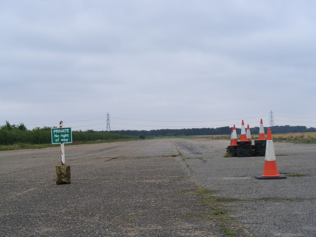
Roman Road with an old airfield - geograph.org.uk - 532498.jpg - GeographBot

Skylark Ride - geograph.org.uk - 532517.jpg - GeographBot

Material dredged from ditch next to path - geograph.org.uk - 549842.jpg - GeographBot

Bridleway to Millow Hall looking north-eastwards - geograph.org.uk - 554339.jpg - GeographBot

Derelict barn at Plantation Farm - geograph.org.uk - 554496.jpg - GeographBot
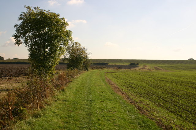
Hedge field line - geograph.org.uk - 588564.jpg - GeographBot

Holme, Yay, sprouts^ - geograph.org.uk - 610997.jpg - GeographBot

Commemorative Plaque - geograph.org.uk - 669124.jpg - GeographBot

Millbrook Proving Ground - geograph.org.uk - 663440.jpg - GeographBot

Looking to Lady Wood - geograph.org.uk - 672869.jpg - GeographBot

Lower farm - geograph.org.uk - 691225.jpg - GeographBot

Handy place for a break - geograph.org.uk - 702268.jpg - GeographBot

Bridleway to Eaton Bray - geograph.org.uk - 757916.jpg - GeographBot

Bedford Park Lake - geograph.org.uk - 760543.jpg - GeographBot

Entrance to Bedford Park - geograph.org.uk - 760542.jpg - GeographBot

Bucks-Beds County Boundary Marker - geograph.org.uk - 1550013.jpg - GeographBot

Nexus Spotlight On Youth.jpg - File Upload Bot (Magnus Manske)

Harvest - Pegsdon, Bedfordshire, England - August 2009.jpg - Jacopo Werther

The Magnificent Seven Squirrels - November 2009 (4143939333).jpg - File Upload Bot (Magnus Manske)

Coat of arms of the Barony of Bedford.jpg - Lookesmiley

BigglesFM Logo.jpg - BigrTex

Bigglesfmlogo.gif - BigrTex
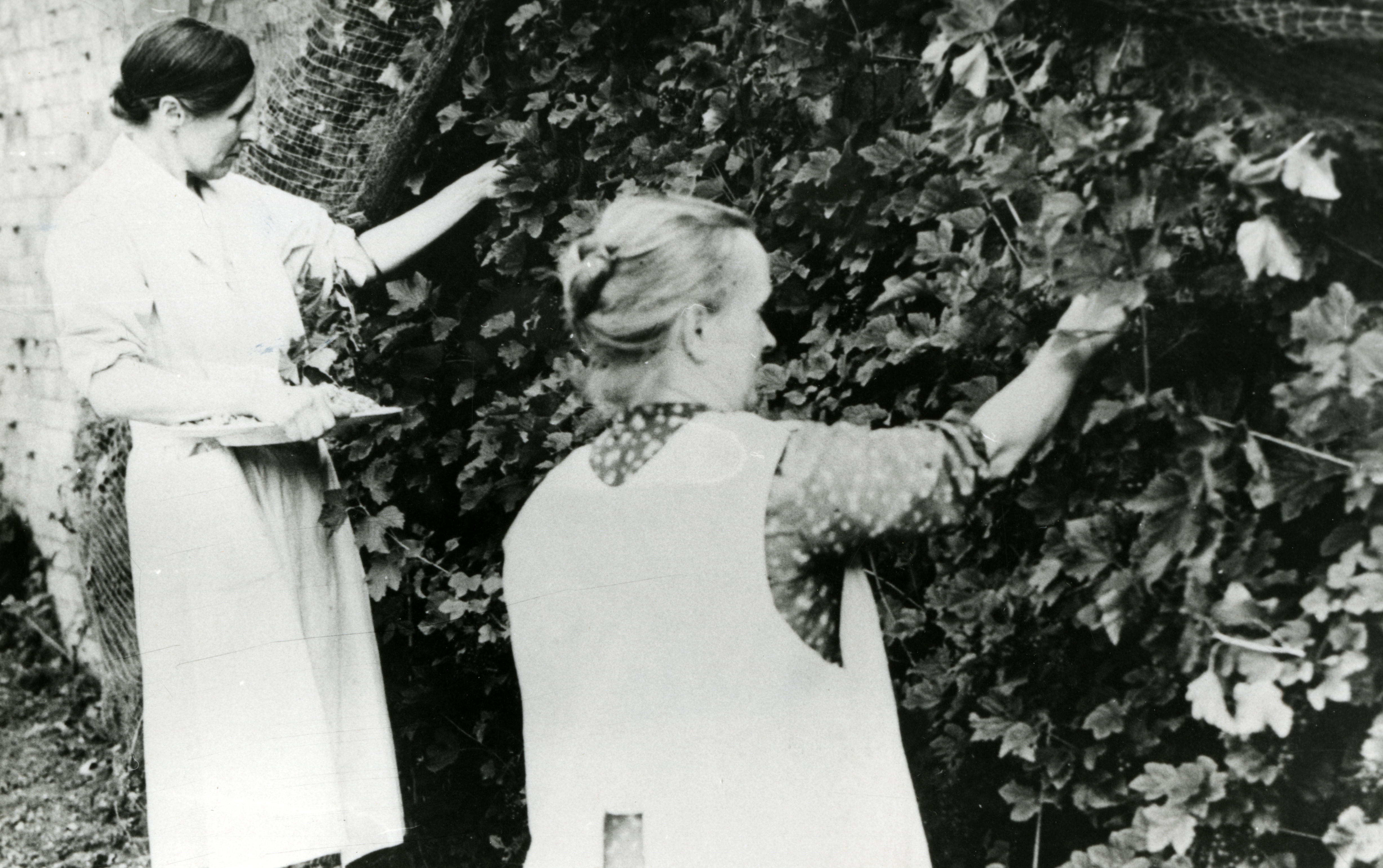
Wartime Activities, women picking fruit, Dean WI, Bedfordshire, 1941. (22705962989).jpg - Fæ

Box End Water Park - Bedfordshire (16913012657).jpg - Fæ

Central Bedfordshire Council makeup.svg - Alextheconservative

Mid Bedfordshire.jpg - Peter Glyn

Blow's Downs at Sunset.jpg - ConardCod

GOC Radwell-Rivers and Meadows 087 Stotfold (10082012665).jpg - Matlin

GOC Radwell-Rivers and Meadows 084 Gaskell Place, Fairfield (10081958694).jpg - Matlin

GOC Radwell-Rivers and Meadows 083 49 Charlotte Avenue, Fairfield (10081956504).jpg - Matlin

GOC Radwell-Rivers and Meadows 082 11 and 15 Copperfield Close, Fairfield (10067024705).jpg - Matlin
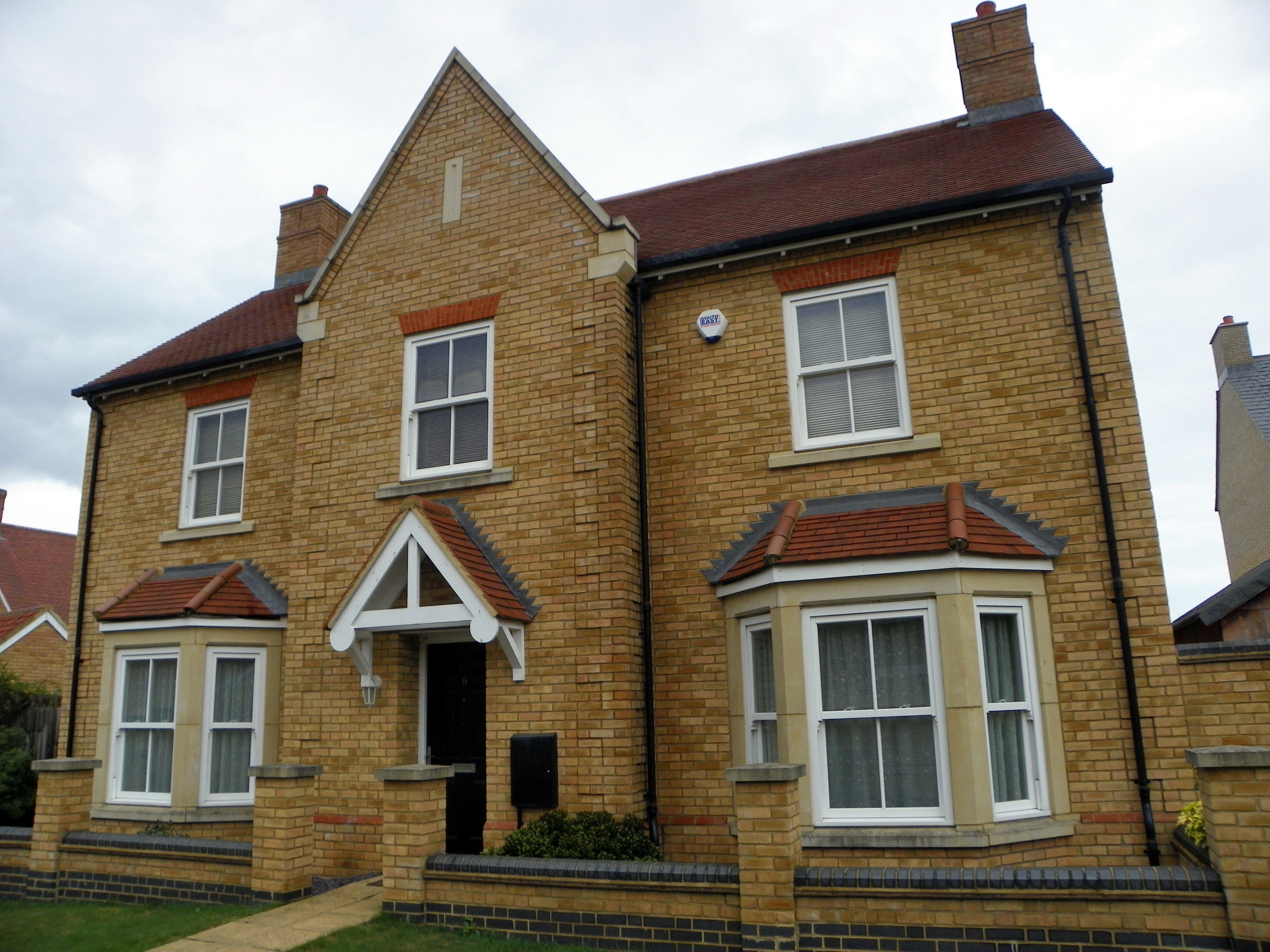
GOC Radwell-Rivers and Meadows 081 9 Copperfield Close, Fairfield (10067021875).jpg - Matlin

GOC Radwell-Rivers and Meadows 079 26 Heathcliffe Avenue, Fairfield (10067072906).jpg - Matlin

GOC Radwell-Rivers and Meadows 078 37 Heathcliffe Avenue, Fairfield (10067070576).jpg - Matlin

GOC Radwell-Rivers and Meadows 077 32 Heathcliffe Avenue, Fairfield (10067015255).jpg - Matlin

GOC Radwell-Rivers and Meadows 074 The True Briton, Arlesey (10051964633).jpg - Matlin

GOC Radwell-Rivers and Meadows 073 The True Briton, Arlesey (10051887316).jpg - Matlin

GOC Radwell-Rivers and Meadows 072 29 Hospital Road, Arlesey (10051854995).jpg - Matlin

GOC Radwell-Rivers and Meadows 066 Footbridge on the Hiz (10035405784).jpg - Matlin

GOC Radwell-Rivers and Meadows 064 River Hiz (10016057136).jpg - Matlin

GOC Radwell-Rivers and Meadows 063 River Hiz (10015994714).jpg - Matlin

GOC Radwell-Rivers and Meadows 062 River Hiz footbridge and weir (10015992684).jpg - Matlin

GOC Radwell-Rivers and Meadows 061 River Hiz (10016124693).jpg - Matlin
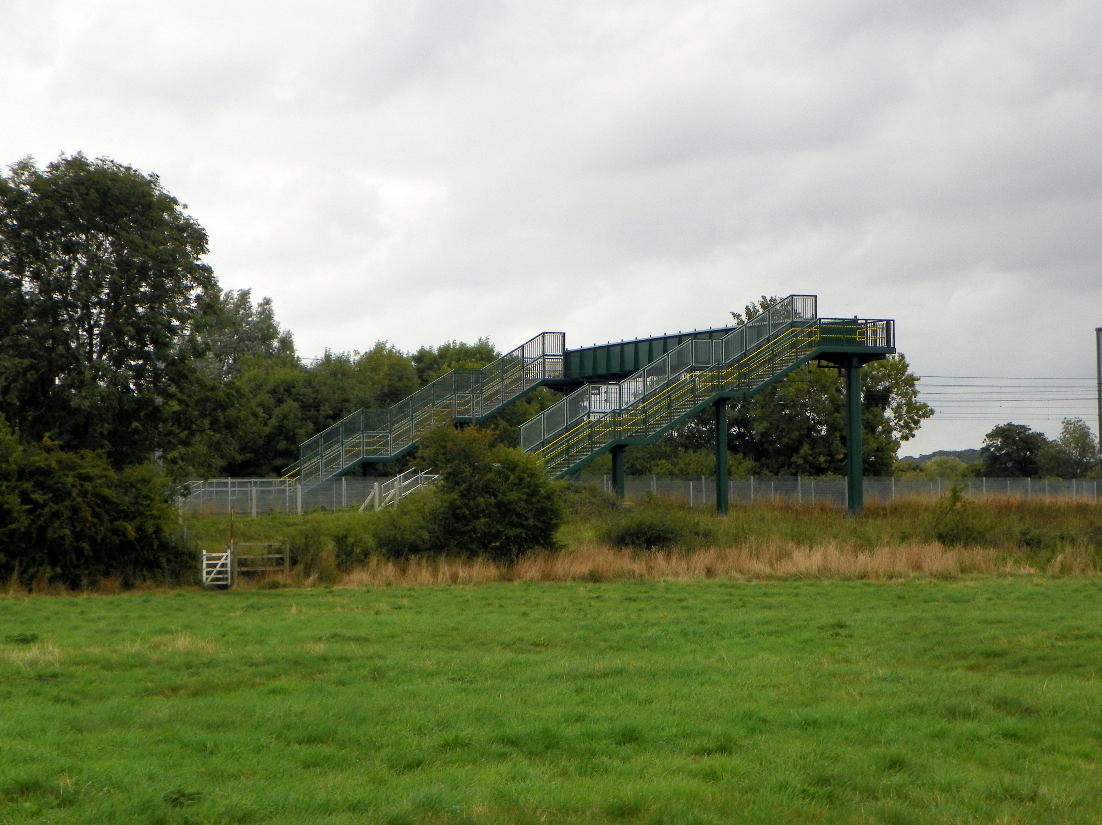
GOC Radwell-Rivers and Meadows 060 Railway footbridge (10015987204).jpg - Matlin

GOC Radwell-Rivers and Meadows 059 River Hiz (10001753624).jpg - Matlin

GOC Radwell-Rivers and Meadows 052 River Hiz (10001797206).jpg - Matlin

GOC Woburn 045 Woburn Deer Park (22775171387).jpg - Matlin

GOC Woburn 021 NW block of Bloomsbury Stud, Woburn (22842893270).jpg - Matlin

GOC Woburn 018 Park Farm Mill and Granary, Bloomsbury Stud, Woburn (22842888130).jpg - Matlin
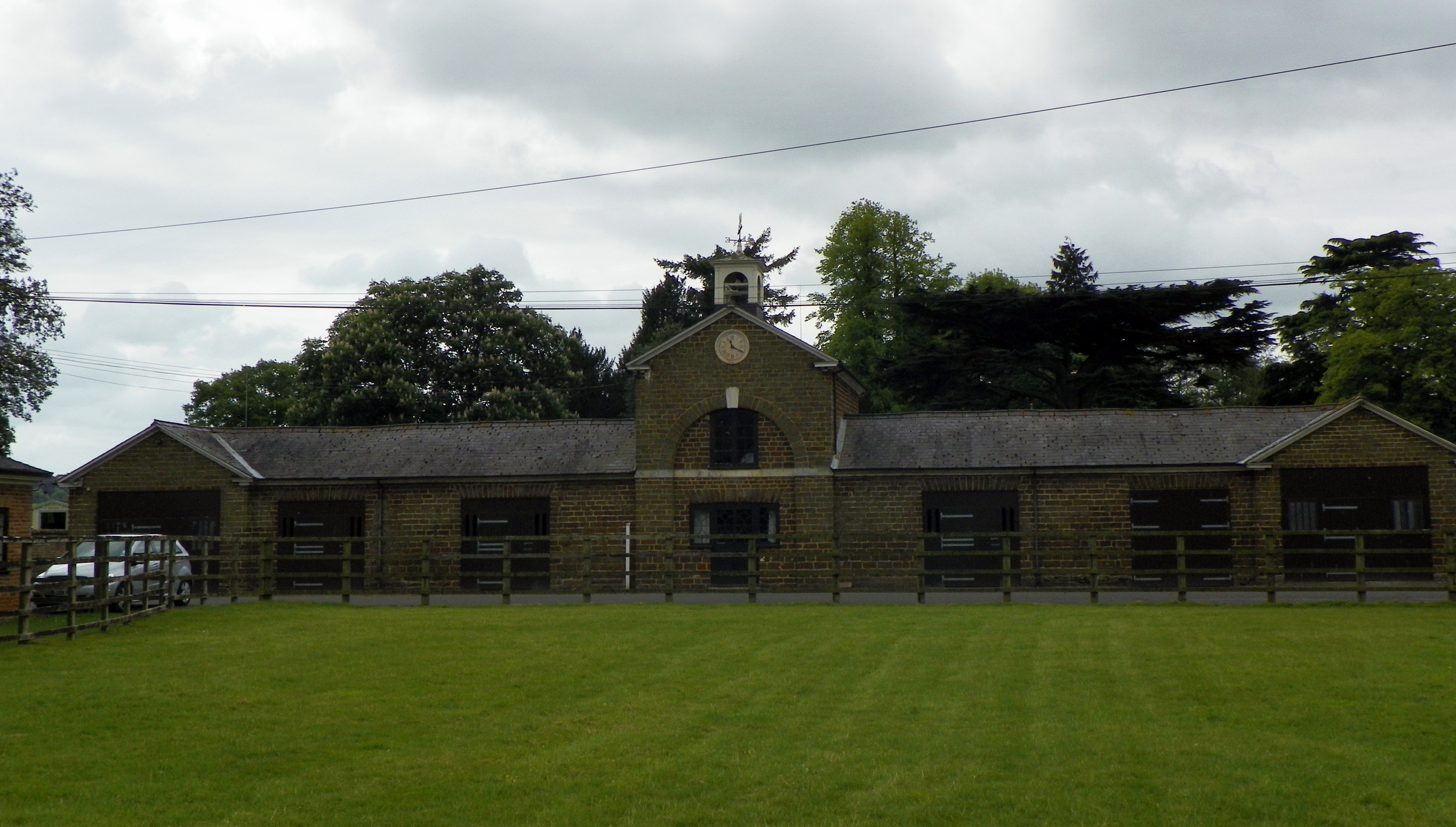
GOC Woburn 020 Bloomsbury Stud Stables, Woburn (23174622301).jpg - Matlin

GOC Woburn 019 Former farm buildings at Park Farm, Woburn (23149078382).jpg - Matlin

GOC Woburn 017 Former farm buildings at Park Farm, Woburn (23147044561).jpg - Matlin

GOC Woburn 015 Park Farm Cottages, Woburn (22512746184).jpg - Matlin

GOC Woburn 014 Park Farm Cottages, Woburn (23121461042).jpg - Matlin

GOC Woburn 012 Park Farm Cottages, Woburn (22514242393).jpg - Matlin

GOC Studham 006 Valley Farm, Studham (8654042901).jpg - Matlin

GOC Studham 005 Milebarn Farm, Studham (8654042189).jpg - Matlin

GOC Studham 007 Gade Plas, Studham (8654043655).jpg - Matlin

GOC Studham 004 Adelaide Cottage, Studham (8651531213).jpg - Matlin

GOC Studham 003 The Old School, Studham (8651530617).jpg - Matlin

GOC Studham 001 The Old School, Studham (8651492107).jpg - Matlin

GOC Hexton 153 Deacon Hill (24533351302).jpg - Matlin

John Cawse - The Bedfordshire Farmer unloading his - Presents^ - B1981.25.1683 - Yale Center for British Art.jpg - SmartifyBot

Rushden Road Flood in Wymington.jpg - Nfutvol

Rushden Road and Manor Lane Flooding.jpg - Nfutvol

Wymington Fields.jpg - Nfutvol

County Council of Bedfordshire (45336477042).jpg - NoahLovesNesquick

Emily Stannard of Bedfordshire, Watercolour 4.jpg - Dorkinglad

Emily Stannard (1875-1906), Spring in Bedfordshire (1898).jpg - Dorkinglad

Central Bedfordshire County Name sign - geograph.org.uk - 5611472.jpg - GeographBot

Map showing the traditional, geographical county of Bedfordshire, England.png - RealCounties

Bedfordshire UK PCC election 2024.svg - Into oblivion
❮
❯


