Wikimedi'Òc
Modes d'emploi

Cet album fait partie des albums
Cet album photos contient les sous-albums suivants :


Seattle-Columbia-Center-looking-SE-2326.jpg - Vmenkov
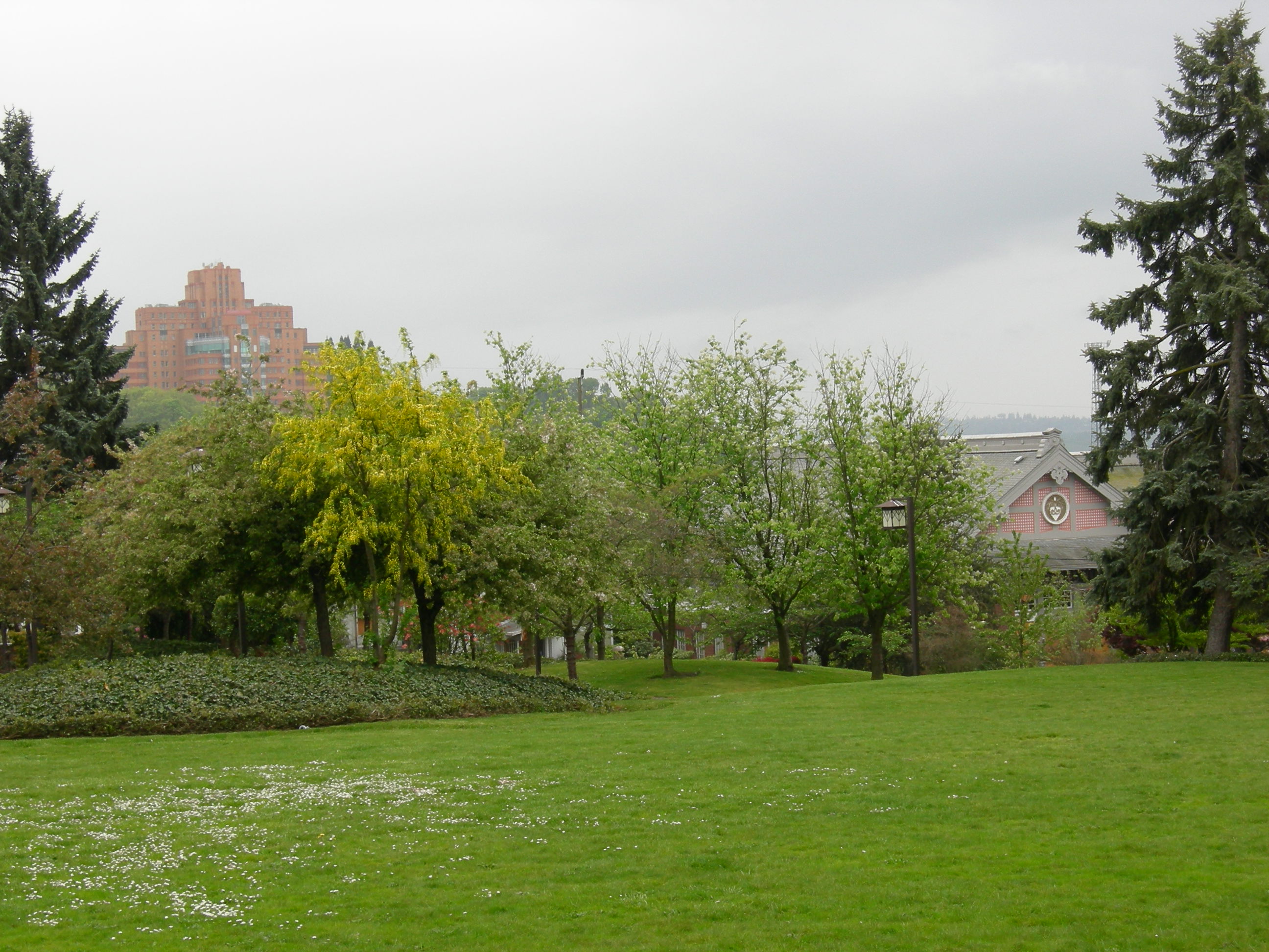
Wisteria Park 01.jpg - Jmabel

Seattle Kobe Park looking south.jpg - Jmabel

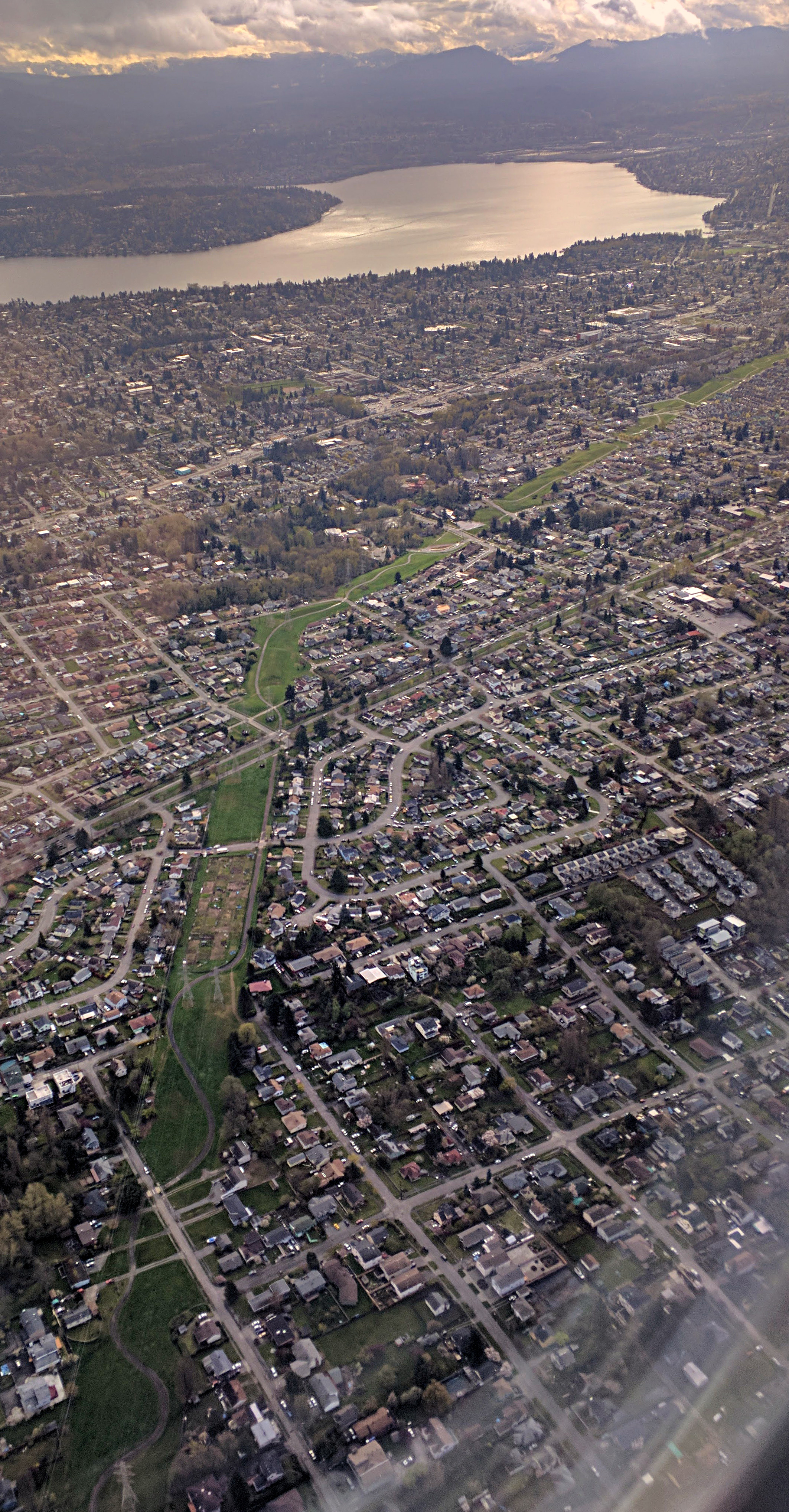
SeattleSkylineSuperPanorama.jpg - Magog the Ogre

Taejon Park shelter 01.jpg - Jmabel

Taejon Park shelter 01A.jpg - Jmabel

Taejon Park shelter 02.jpg - Jmabel

Railway work crew - Seattle 04A.jpg - Jmabel
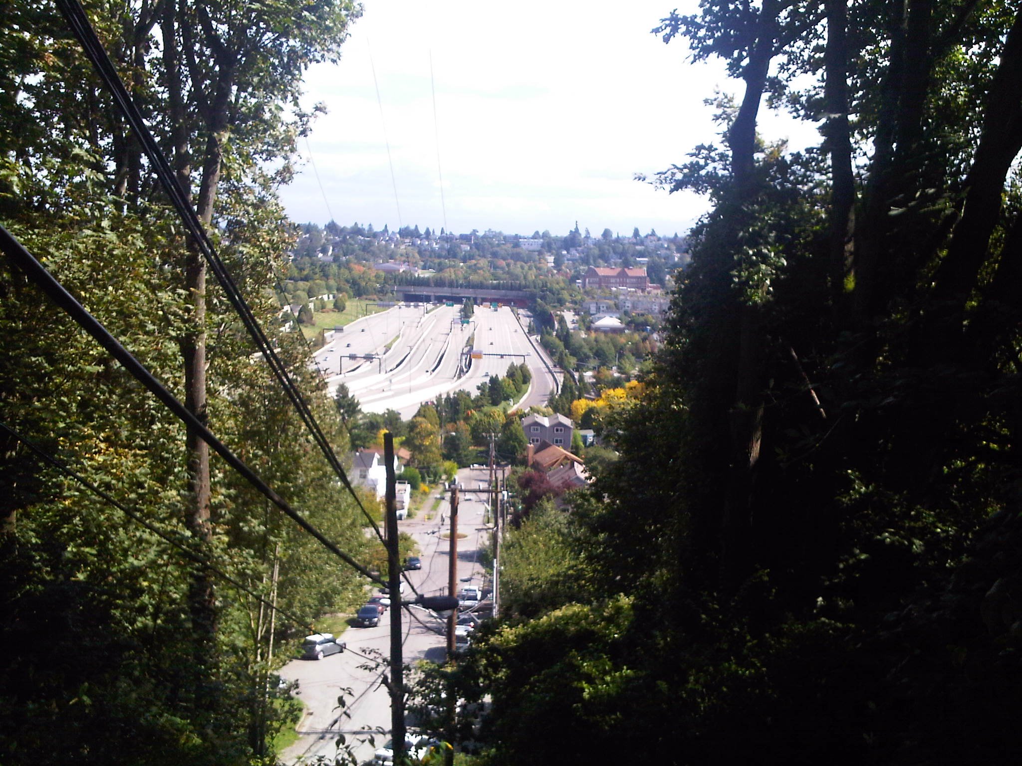
Seattle - I-5 & downtown from Beacon Hill.jpg - Jmabel
Seattle - Providence Hospital from Beacon Hill.jpg - Jmabel

Looking south from Seattle Central Library 01.jpg - Jmabel
Seattle Map - Beacon Hill.png - BetacommandBot
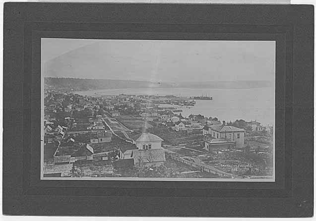
Seattle from Beacon Hill 1900.jpg - Jmabel

Seattle - G.W. Stetson residence - 1900 - 2 pics.jpg - Jmabel

Seattle - G.W. Stetson residence - 1900 - exterior.jpg - Jmabel

Seattle - G.W. Stetson residence - 1900 - interior.jpg - Jmabel
Seattle - view west from Beacon Hill 01.jpg - Jmabel

Seattle - Alaskan Way looking south from Bell Street Bridge 01.jpg - Jmabel

Seattle - Columbia Drive South.jpg - Jmabel

Seattle - Ferdinand P-Patch 01.jpg - Jmabel

Seattle - Ferdinand P-Patch 01A.jpg - Jmabel

Seattle - Ferdinand P-Patch 02.jpg - Jmabel

Seattle - Ferdinand P-Patch 03.jpg - Jmabel

Seattle - power lines near Ferdinand P-Patch.jpg - Jmabel

Seattle 1913 - S-SE from Smith Tower.jpg - Jmabel
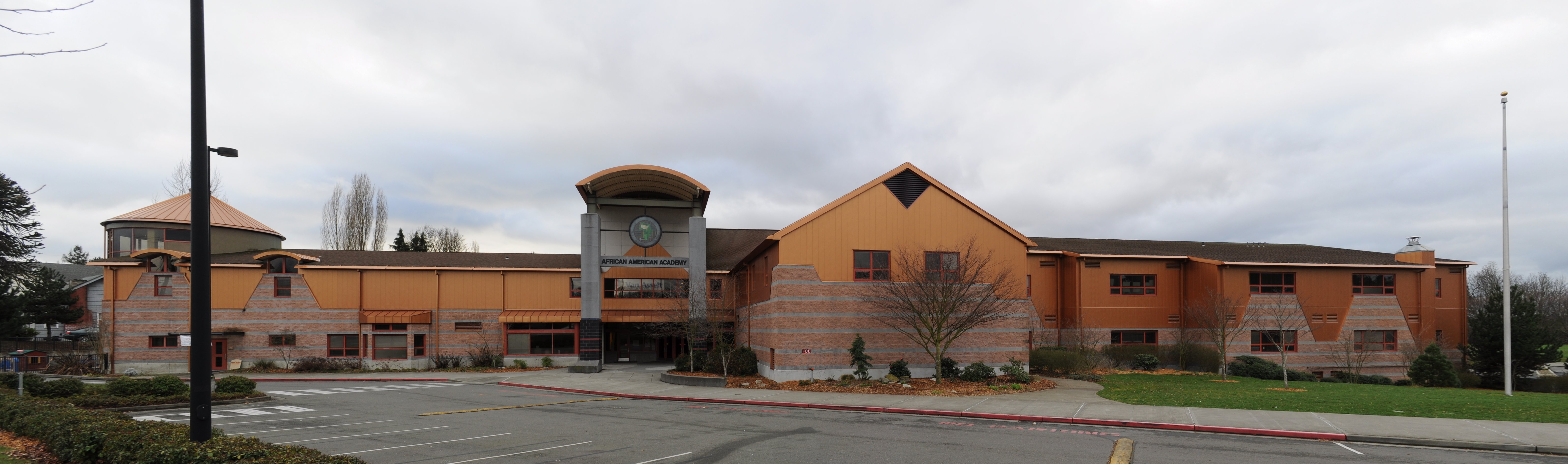
Seattle - African American Academy pano 01.jpg - Jmabel

House on Davis Place, 1961 (3641828618).gif - File Upload Bot (Magnus Manske)
Seattle - Beacon Hill map.jpg - Jmabel
Seattle - North Beacon Hill map.jpg - Jmabel
Seattle - Mid Beacon Hill map.jpg - Jmabel
Seattle - South Beacon Hill map.jpg - Jmabel

Mt. Rainier from Stokes Overlook (Seattle, Washington).JPG - Visitor7

Seattle - Engstrom's Pharmacy, 1959.jpg - Flickr upload bot

Seattle - 13th & Snoqualmie P-Patch 01.jpg - Jmabel

Seattle - 13th & Snoqualmie P-Patch 02.jpg - Jmabel

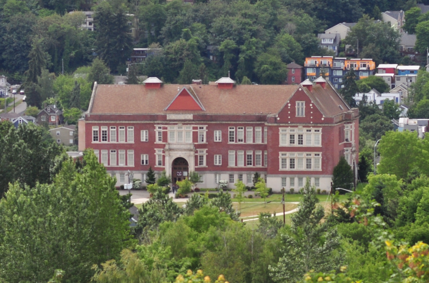
Seattle - St. George Parish Church 01.jpg - Jmabel

Victrola coffee shop seattle.JPG - Lumpytrout

Fish market Seattle.JPG - Lumpytrout
North Beacon Hill, Seattle, 1913.jpg - Flickr upload bot
Beacon Avenue, Seattle, 1934.jpg - Flickr upload bot

Seattle - 24th Avenue S. and Spokane Street, 1913.jpg - Flickr upload bot

Seattle - view south on Interstate 5 from Madison Street 01.jpg - Jmabel
Seattle City Council District 2 neighborhoods.png - Dennis Bratland

Seattle City Council District 3 neighborhoods.png - Dennis Bratland

Seattle - Southeast corner of Ninth & Atlantic, 1914.jpg - Jmabel

Seattle - Rainier Avenue overpass, 1954 (22651065004).gif - Jmabel
King Street coal wharf looking east toward Beacon Hill, Seattle, Washington, ca 1880 (HESTER 170).jpeg - BMacZeroBot

Seattle - Airport Way S and S Holgate Street, 1936 (26073945751).jpg - Jmabel
IMG00032-20100920-1248.jpg - panoramio.jpg - Panoramio upload bot
Street Railroad Track Being Set on Beacon Ave (5148408463).jpg - Fæ
Over Beacon Hill, Turning to Boeing Field - Flickr - brewbooks.jpg - Josve05a
Over Beacon Hill, looking to Boeing Field - Flickr - brewbooks.jpg - Josve05a
Over Beacon Hill, looking to Renton and Lake Washington - Flickr - brewbooks.jpg - Josve05a
Riding Sound Transit to Tukwila - Flickr - brewbooks.jpg - Josve05a

Panorama facing west on the Jose Rizal Bridge - Seattle, WA.jpg - Comradebunny
Chief Sealth Trail.jpg - Dicklyon

Downtown Seattle sunset.jpg - Pamjunipero

Evergreen Sunset (16384811293).jpg - MechQuester

Seattle - Northwest African American Museum from Mount Baker Ridge Viewpoint 01.jpg - Jmabel
Seattle - North Beacon Hill from Mount Baker Ridge Viewpoint 01.jpg - Jmabel
Seattle - North Beacon Hill from Mount Baker Ridge Viewpoint 02.jpg - Jmabel
Looking southwest from Denny Hill over Seattle, 1882 (PEISER 69).jpeg - BMacZeroBot

Looking southeast along 3rd Ave and 2nd Ave, Seattle, ca 1884 (PEISER 92).jpeg - BMacZeroBot
Waterfront showing the Stetson and Post Co sash and door factory with Beacon Hill in the background, Seattle, nd (PEISER 94).jpeg - BMacZeroBot
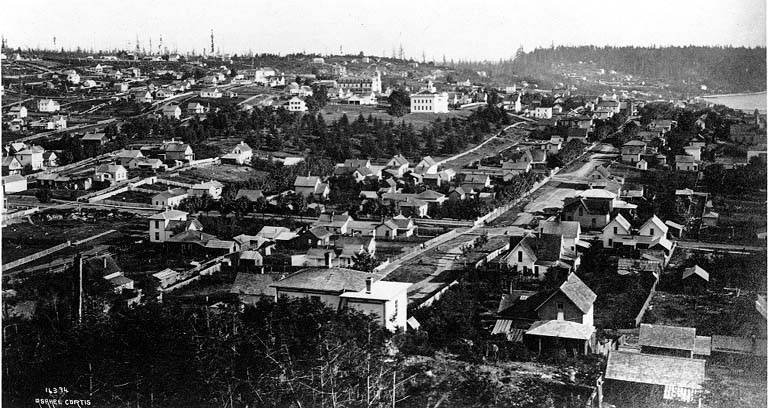
Seattle, from Beacon Hill (CURTIS 87).jpeg - BMacZeroBot
Panorama of Seattle from Beacon Hill (CURTIS 88).jpeg - BMacZeroBot
Beacon Hill and First Hill from tideflats, Seattle (CURTIS 191).jpeg - BMacZeroBot

Seattle regraded area, 1914 (CURTIS 359).jpeg - BMacZeroBot

Seattle tideflats, Seattle (CURTIS 472).jpeg - BMacZeroBot

Seattle tideflats, Seattle (CURTIS 473).jpeg - BMacZeroBot

Panorama from Centennial Mill showing Seattle in 1902 (CURTIS 1392).jpeg - BMacZeroBot

Panorama from Centennial Mill showing Seattle in 1902 (CURTIS 1393).jpeg - BMacZeroBot

Panoramic view of Seattle from the Post St power house, Feb 23, 1913 (CURTIS 2086).jpeg - BMacZeroBot
Denny Hill, Seattle (CURTIS 1087).jpeg - BMacZeroBot
Seattle waterfront, with Beacon Hill in background (CURTIS 1175).jpeg - BMacZeroBot
Seattle, looking east toward Beacon Hill (CURTIS 1190).jpeg - BMacZeroBot

Farm building at S Orcas St and 28th Ave S, Seattle, Washington, 1911 (LEE 150).jpg - BMacZeroBot

Farm buildings and houses at S Orcas St and 28th Ave S, Seattle, Washington, 1911 (LEE 202).jpg - BMacZeroBot

Looking southeast from Dearborn St and 8th Ave S showing regrade work, Seattle, Washington, July 15, 1911 (LEE 238).jpeg - BMacZeroBot

Asahel Curtis - panoramic view of Seattle from the tideflats, circa 1904.jpg - Jmabel

Asahel Curtis panorama of Seattle tideflats (1916).jpg - Jmabel

Asahel Curtis panoramic view of Seattle from Post Street powerhouse, February 23, 1913.jpg - Jmabel

South Seattle from Columbia Center (3794602704).jpg - Jon Kolbert
Beacon Hill Blue (4283916385).jpg - Jon Kolbert

Dump No Material Whatever (3730902079).jpg - Jon Kolbert

Seattle (9290654120).jpg - Butko

Looking southwest from Denny Hill over Seattle, 1882 (PEISER 69) (border cropped).jpeg - Jmabel
Looking southeast from railroad tracks at King St toward Beacon Hill, Seattle, ca 1886 (WARNER 54).jpg - BMacZeroBot
Looking northwest across the harbor from Beacon Hill at South Dearborn St and 12th Ave, Seattle, probably between 1880 and 1890 (PEISER 196).jpg - BMacZeroBot
Beacon Hill, ca 1913 (SEATTLE 1072).jpg - BMacZeroBot

2nd Ave from Denny Hill, ca 1882 (SEATTLE 1090).jpg - BMacZeroBot

Seattle from 3rd Ave and Pine St in 1882 and in ca 1914 (SEATTLE 1776).jpg - BMacZeroBot

Aerial view of King Street Station and Union Station, 1913 (SEATTLE 3164).jpg - BMacZeroBot

Seattle, looking southeast, ca 1914 (SEATTLE 3167).jpg - BMacZeroBot

View of Mt Rainier from Seattle, between 1897 and 1900 (SEATTLE 5902).jpg - BMacZeroBot
Seattle - Northwest African American Museum from Mount Baker Ridge Viewpoint 01 (cropped).jpg - Jmabel
Seattle - jogger on Beacon Avenue, circa 1970s (49757320721).jpg - Jmabel

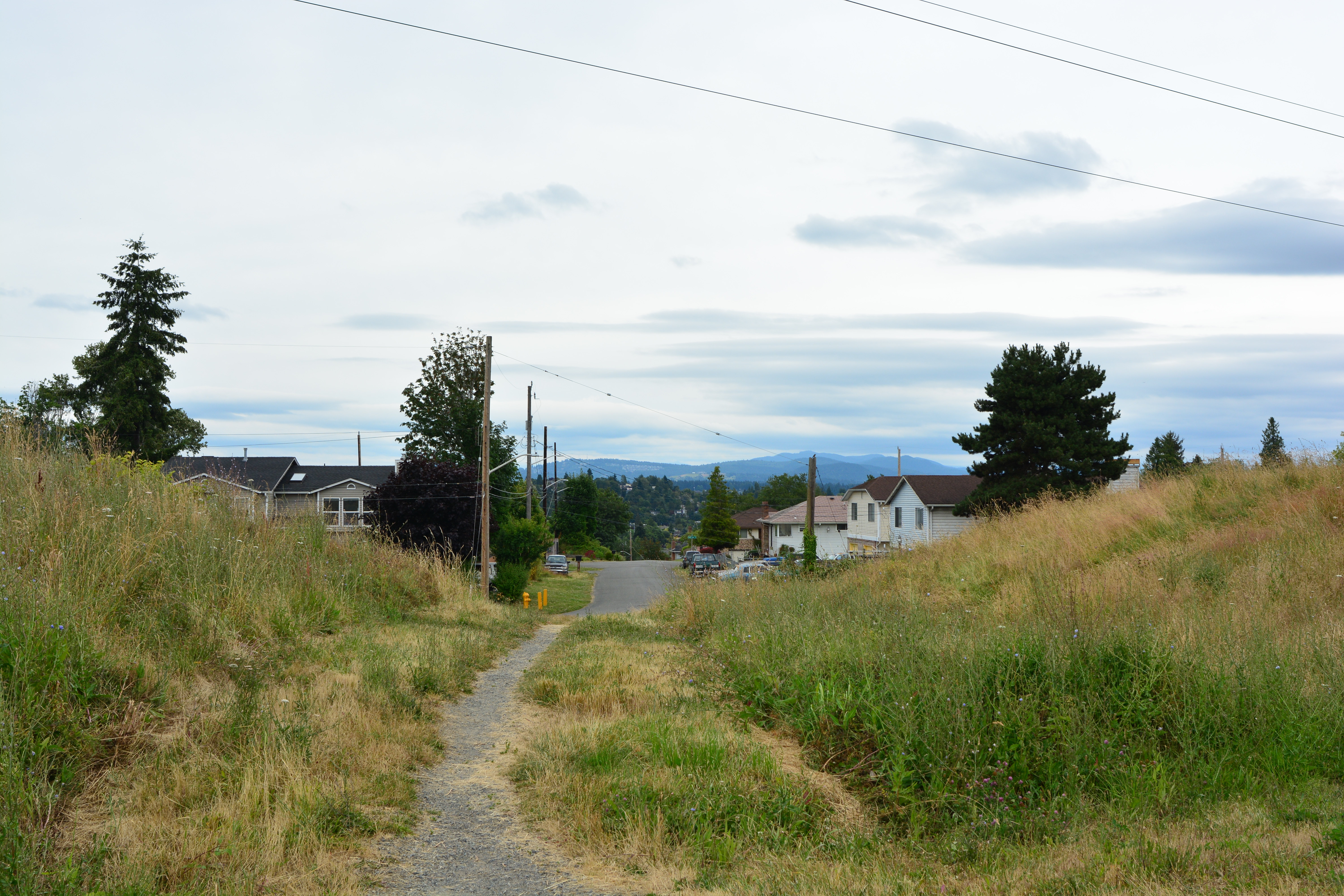
Chief Sealth Trail pano 01.jpg - Jmabel

Looking south on Chief Sealth Trail near S. Brandon St. 01.jpg - Jmabel

Looking south on Chief Sealth Trail near S. Brandon St. 02.jpg - Jmabel

Looking south on Chief Sealth Trail near S. Brandon St. 03.jpg - Jmabel

Looking south on Chief Sealth Trail near S. Brandon St. 04.jpg - Jmabel

Chief Sealth Trail - peavines growing at S. Raymond St.jpg - Jmabel
Chief Sealth Trail, looking east on S. Raymond St.jpg - Jmabel

Grasses along Chief Sealth Trail 01.jpg - Jmabel
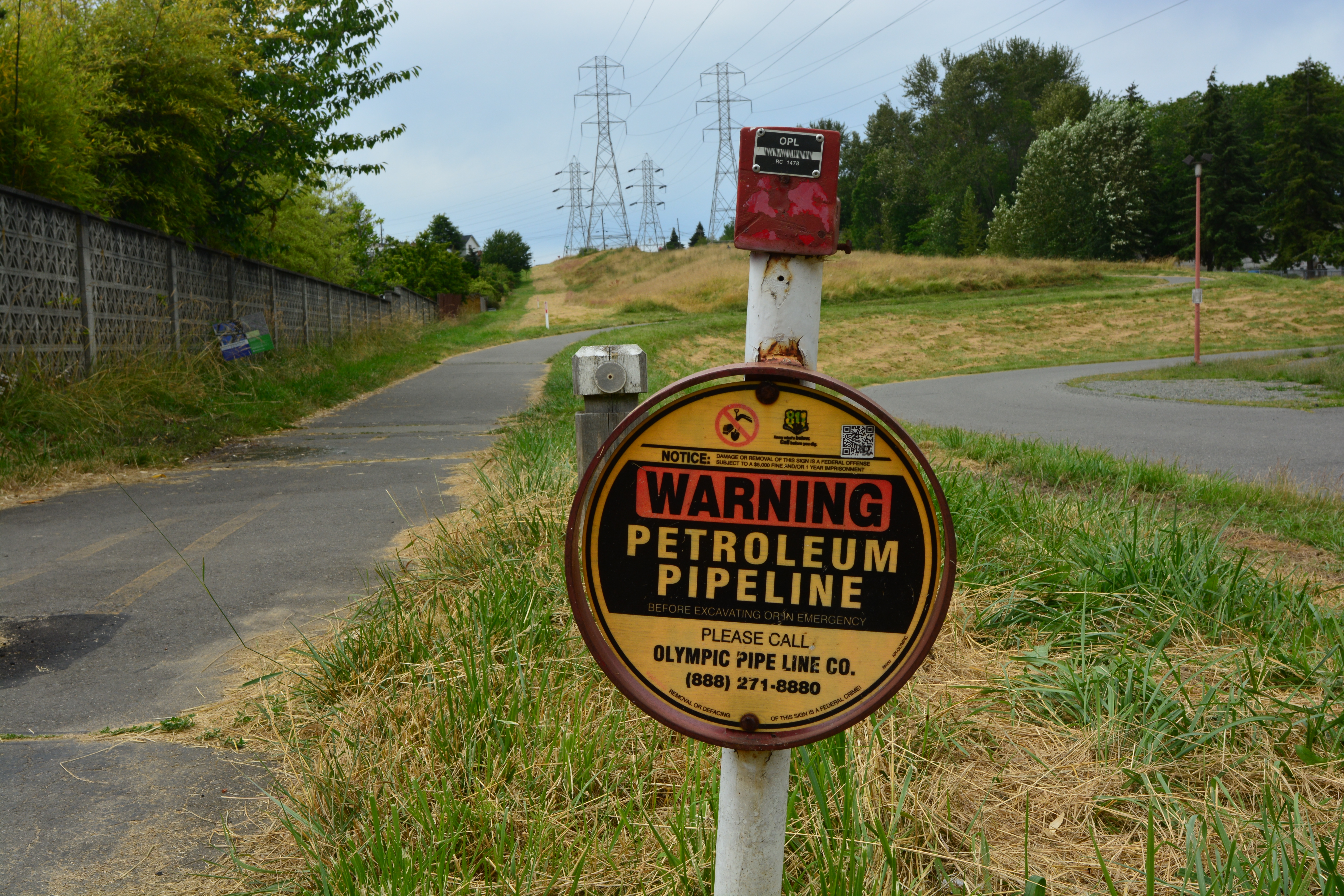
Petroleum pipeline sign along Chief Sealth Trail.jpg - Jmabel

Trail sign on Chief Sealth Trail 01.jpg - Jmabel

Looking north on the Chief Sealth Trail toward VA Hospital.jpg - Jmabel

Looking north on the Chief Sealth Trail toward VA Hospital (cropped).jpg - Jmabel

Soldier beetles copulating 01.jpg - Jmabel

Soldier beetles copulating 02.jpg - Jmabel

Oxen hauling logs along waterfront, Seattle, ca 1885 (MOHAI 705).jpg - BMacZeroBot
Military road on Beacon Hill, Seattle, circa 1900 (MOHAI 9883).jpg - BMacZeroBot

Looking south from Denny Hill, 1882 (MOHAI 5916).jpg - BMacZeroBot
Harbor Island and Beacon Hill, Seattle, 1917 (MOHAI 13135).jpg - BMacZeroBot
Beacon Avenue looking south, Seattle, ca 1910 (MOHAI 2532).jpg - BMacZeroBot

Seattle - Rainier and Weller, 1918 (51103141597).jpg - Jmabel

Frye & Company meat packing plant, Seattle c1920s (6968507935).jpg - Siloepic

A thing called the East Duwamish Greenbelt.jpg - Tkd1996

First logs on Columbia and Puget Sound Railroad, 1880 - DPLA - 9ac0be9405b013cdcd7bd23209c846a7.jpg - DPLA bot

First logs on Columbia and Puget Sound Railroad, 1880 - DPLA - d1326f382a2eb090fde6076f552b3a74.jpg - DPLA bot

First logs on Columbia and Puget Sound Railroad, 1880 - DPLA - 468e30d512bc0ce752e1a3565d1c80fb.jpg - DPLA bot
King County Courthouse exterior and a view south toward Beacon Hill, Seattle, probably between 1904 and 1907 (WARNER 109).jpg - BMacZeroBot
Seattle - Kids at Beacon Playfield, circa 1980s (53272746050).jpg - Jmabel

Ox teams hauling logs on Seattle waterfront, 1880 (53524718832).jpg - Jmabel