Wikimedi'Òc
Modes d'emploi

Cet album fait partie des albums
Cet album photos contient les sous-albums suivants :


Ynys Llanddwyn old light.pg.jpg - Velela

TraethYrOraLeft.jpg - File Upload Bot (Magnus Manske)

Traethdulas.jpg - File Upload Bot (Magnus Manske)

TraethYrOraSouth.jpg - File Upload Bot (Magnus Manske)

Benllech Sands, Anglesey. - geograph.org.uk - 8045.jpg - GeographBot

Traeth Benllech - geograph.org.uk - 7797.jpg - GeographBot

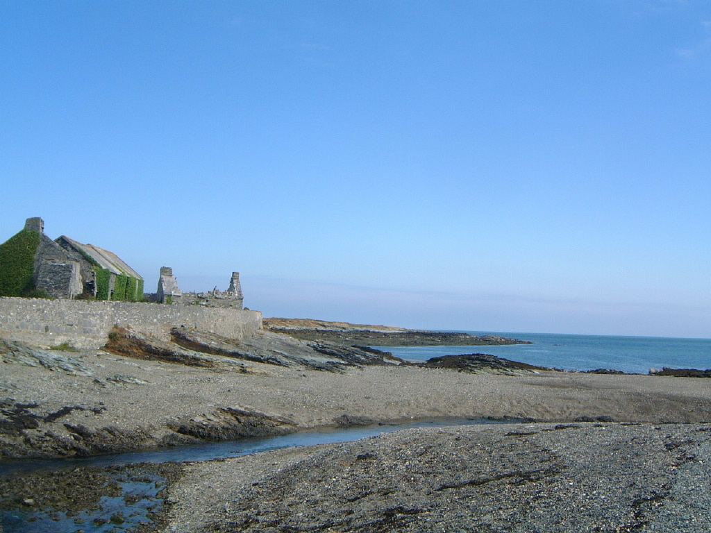
The House next to the slipway at Trearddur - geograph.org.uk - 17718.jpg - GeographBot

Trwyn y Penrhyn - geograph.org.uk - 28489.jpg - GeographBot

Church Bay - geograph.org.uk - 38394.jpg - GeographBot

Beddmanarch Bay - geograph.org.uk - 41959.jpg - GeographBot

Borthwen - geograph.org.uk - 41946.jpg - GeographBot

Cemlyn Bay - geograph.org.uk - 42253.jpg - GeographBot

Morcyn - geograph.org.uk - 38584.jpg - GeographBot

Gorad Beach - geograph.org.uk - 66030.jpg - GeographBot

Porth Forllwyd - geograph.org.uk - 38559.jpg - GeographBot

Porth Helaeth - geograph.org.uk - 38514.jpg - GeographBot

Porth y Mor - geograph.org.uk - 38675.jpg - GeographBot

Porth Nobla, Anglesey - geograph.org.uk - 41892.jpg - GeographBot

Porth Tywyn-mawr - geograph.org.uk - 41973.jpg - GeographBot

Traeth Bychan - geograph.org.uk - 38578.jpg - GeographBot

Traeth yr Ora - geograph.org.uk - 38670.jpg - GeographBot

Trecastell Bay Anglesey - geograph.org.uk - 38836.jpg - GeographBot

Trwyn y Crewyn - geograph.org.uk - 38387.jpg - GeographBot

Trearddur Bay Beach - geograph.org.uk - 60745.jpg - GeographBot

Hen Borth on NW coast of Anglesey - geograph.org.uk - 88737.jpg - GeographBot

Rhosneigr - geograph.org.uk - 82709.jpg - GeographBot

Eastern side of Red Wharf Bay - geograph.org.uk - 169264.jpg - GeographBot

Porth Dafarch - geograph.org.uk - 159937.jpg - GeographBot

Looking out over Malltraeth bay - geograph.org.uk - 119649.jpg - GeographBot

Southern end of Llanddwyn Bay - geograph.org.uk - 158534.jpg - GeographBot

The long walk - geograph.org.uk - 159940.jpg - GeographBot

Advertising works - geograph.org.uk - 170596.jpg - GeographBot

Porth-yr-Afon - geograph.org.uk - 170610.jpg - GeographBot

Beach to the West of Llanfachraeth - geograph.org.uk - 194431.jpg - GeographBot

Caravans beside the beach - geograph.org.uk - 197053.jpg - GeographBot
Trearddur Bay - geograph.org.uk - 170599.jpg - GeographBot

Friars Bay, Menai Straits, Beaumaris, Anglesey. - geograph.org.uk - 183169.jpg - GeographBot

Penial Dowyn Farm - geograph.org.uk - 194433.jpg - GeographBot

Porth Wen bay - geograph.org.uk - 183855.jpg - GeographBot

Porth Nobla, near Llanfaelog - geograph.org.uk - 212041.jpg - GeographBot

Porth Forllwyd - geograph.org.uk - 226635.jpg - GeographBot
The beach at Newborough Warren - geograph.org.uk - 226161.jpg - GeographBot

Ynys Llanddwyn beach.jpg - File Upload Bot (Magnus Manske)
Cemlyneast.JPG - File Upload Bot (Magnus Manske)
Cemlynwest.JPG - File Upload Bot (Magnus Manske)

Oystercatcher's Nest - geograph.org.uk - 1903635.jpg - File Upload Bot (Magnus Manske)

A Thoughtless Act - geograph.org.uk - 255879.jpg - GeographBot

Beach and Off-Shore Sandbar - geograph.org.uk - 255167.jpg - GeographBot

Caernarfon Bay from Ro Bach Beach - geograph.org.uk - 255942.jpg - GeographBot

Firm sandy beach - geograph.org.uk - 255153.jpg - GeographBot

Kites and Wind Surfers strewn along the Beach - geograph.org.uk - 256156.jpg - GeographBot

Ro Bach Beach Looking Eastwards - geograph.org.uk - 255918.jpg - GeographBot

Ro Fawr Beach - geograph.org.uk - 256165.jpg - GeographBot

Sandbanks revealed at low tide - geograph.org.uk - 255145.jpg - GeographBot

Sandy Beach on Malltraeth Bay - geograph.org.uk - 254113.jpg - GeographBot

Shingle beach and sandbanks - geograph.org.uk - 255175.jpg - GeographBot

Shingle section on an otherwise sandy beach - geograph.org.uk - 256137.jpg - GeographBot

Traeth Penrhos Beach - geograph.org.uk - 255610.jpg - GeographBot

Wave Cut Platform in the Sand Dunes - geograph.org.uk - 256172.jpg - GeographBot

Where the Forest Meets the Sea - geograph.org.uk - 256144.jpg - GeographBot
Aberffraw Sands - geograph.org.uk - 276773.jpg - GeographBot

Pebble beach near Benllech (Spot the tourists) - geograph.org.uk - 288437.jpg - GeographBot

Sea and Mountains - geograph.org.uk - 307793.jpg - GeographBot

Trearddur Bay - geograph.org.uk - 304921.jpg - GeographBot

Flotsam at sunset - geograph.org.uk - 313775.jpg - GeographBot

Aberffraw Bay - geograph.org.uk - 334023.jpg - GeographBot

Conwy Bay - geograph.org.uk - 338834.jpg - GeographBot

Porth Padrig from the headland - geograph.org.uk - 330527.jpg - GeographBot

Rhoscolyn - geograph.org.uk - 336803.jpg - GeographBot

Newborough beach, Easter Sunday, 2002 - geograph.org.uk - 355299.jpg - GeographBot

Low tide at Llanddona - geograph.org.uk - 371231.jpg - GeographBot

Pebbles - geograph.org.uk - 371235.jpg - GeographBot

The shingle beach at Trwyn Du Point - geograph.org.uk - 377441.jpg - GeographBot

Benllech Beach.jpg - File Upload Bot (Magnus Manske)

The narrowest point on the Menai Straits - geograph.org.uk - 382258.jpg - GeographBot

Traeth Llanddwyn Beach - geograph.org.uk - 389052.jpg - GeographBot

Abandoned hulks on the beach - geograph.org.uk - 399958.jpg - GeographBot

First view of Porthygwichiaid - geograph.org.uk - 392475.jpg - GeographBot

View back towards Portobello - geograph.org.uk - 392371.jpg - GeographBot

Low tide at Traeth y Gribin - geograph.org.uk - 402652.jpg - GeographBot

Portobello beach - geograph.org.uk - 400162.jpg - GeographBot

Low tide reveals a stretch of sand - geograph.org.uk - 415396.jpg - GeographBot

Porth Swtan or Church Bay - geograph.org.uk - 414251.jpg - GeographBot

Porth Wylfa - geograph.org.uk - 414019.jpg - GeographBot

The beach from The Green - geograph.org.uk - 416254.jpg - GeographBot

The beach north Beaumaris at low tide - geograph.org.uk - 416012.jpg - GeographBot

This had to wait for a very low tide - geograph.org.uk - 415412.jpg - GeographBot

Porth Trecastell, or Cable Bay - geograph.org.uk - 425433.jpg - GeographBot

The beach below Llanddona - geograph.org.uk - 422218.jpg - GeographBot

Track to beach - geograph.org.uk - 422231.jpg - GeographBot

Approaching the road-beach access at Porth Lleiniog - geograph.org.uk - 434849.jpg - GeographBot

Bae Penmon Bay - geograph.org.uk - 434290.jpg - GeographBot

Bar of boulders and shingle at Trwyn y Penrhyn - geograph.org.uk - 434842.jpg - GeographBot

Fryars Bay - geograph.org.uk - 435437.jpg - GeographBot

Low tide at Porth Lleiniog - geograph.org.uk - 435047.jpg - GeographBot

Porth Lleiniog at low tide - geograph.org.uk - 434851.jpg - GeographBot

Sandy beach - geograph.org.uk - 434200.jpg - GeographBot

Sandy beach head at Porth Lleiniog - geograph.org.uk - 434852.jpg - GeographBot

Shingle beach at Aberlleiniog - geograph.org.uk - 435070.jpg - GeographBot

Shingle beach on the east side of Porth Lleiniog - geograph.org.uk - 434846.jpg - GeographBot

Shingle beach west of Flagstaff Quarry - geograph.org.uk - 434057.jpg - GeographBot

The beach at Trwyn y Penrhyn at low tide - geograph.org.uk - 434679.jpg - GeographBot

The beach at low tide near Tre-castell Farm - geograph.org.uk - 435214.jpg - GeographBot

The shingle beach to the west of the Penmon Park Quarry jetty - geograph.org.uk - 434656.jpg - GeographBot

The southern end of Fryars Bay - geograph.org.uk - 435430.jpg - GeographBot

View back across Penmon Bay to Flagstaff Quarry - geograph.org.uk - 434302.jpg - GeographBot

Aberffraw Sands - geograph.org.uk - 466802.jpg - GeographBot

Beaumaris beach and pier - geograph.org.uk - 468491.jpg - GeographBot

Pebbles and rocks, Church Bay - geograph.org.uk - 466883.jpg - GeographBot

Sandy Bay sunset - geograph.org.uk - 468711.jpg - GeographBot

Malltraeth Bay - geograph.org.uk - 489190.jpg - GeographBot

Bay to South East of Dinas Trefri - geograph.org.uk - 495035.jpg - GeographBot

Path down to Church Bay - geograph.org.uk - 490165.jpg - GeographBot

Beach east of Penrhyn Bach - geograph.org.uk - 526524.jpg - GeographBot

Looking across towards Tywyn Niwbwrch at low tide - geograph.org.uk - 525590.jpg - GeographBot

The beach wall of, and access to, Menaifron - geograph.org.uk - 525530.jpg - GeographBot

The beach west of the Mermaid Inn - geograph.org.uk - 523156.jpg - GeographBot

Shingle Beach - geograph.org.uk - 549854.jpg - GeographBot

The end of the journey - the estuary of Afon Marchogion at low tide - geograph.org.uk - 549925.jpg - GeographBot

Y Fenai at dusk - geograph.org.uk - 540215.jpg - GeographBot

Benllech's Golden Sands - geograph.org.uk - 552670.jpg - GeographBot

Traeth Benllech - geograph.org.uk - 568466.jpg - GeographBot

Waters Edge, Porth Nobla - geograph.org.uk - 565560.jpg - GeographBot
Bae Beddmanarch Bay - geograph.org.uk - 577559.jpg - GeographBot

Benllech sands - geograph.org.uk - 579784.jpg - GeographBot

High tide at Benllech - geograph.org.uk - 570033.jpg - GeographBot

Traeth Llanddwyn - geograph.org.uk - 588656.jpg - GeographBot

The beach at Porth Helygen with Ynys Dulas in the background - geograph.org.uk - 735308.jpg - GeographBot

View south from Portobello across Dulas Bay - geograph.org.uk - 736538.jpg - GeographBot

View upstream along the beach in the direction of Traeth Dulas - geograph.org.uk - 736503.jpg - GeographBot

Wave-cut platform north of Portobello - geograph.org.uk - 737714.jpg - GeographBot

Fishing boat and sandbanks in the Menai Straits - geograph.org.uk - 745878.jpg - GeographBot

Shingle beach and cliff base protection below the Newlands Park Estate - geograph.org.uk - 745082.jpg - GeographBot

The foreshore at the eastern end of the Stanley Embankment - geograph.org.uk - 744924.jpg - GeographBot

The foreshore south of Newlands Park - geograph.org.uk - 744954.jpg - GeographBot

View North across the extensive Traeth y Gribin - geograph.org.uk - 745279.jpg - GeographBot

View across sandbanks in the direction of Beddmanarch Bay - geograph.org.uk - 745067.jpg - GeographBot

View across to the Stanley Embankment - geograph.org.uk - 745038.jpg - GeographBot

Accumulation of the shells of Conwy Bay mussels at the foot of the sandstone cliffs - geograph.org.uk - 758528.jpg - GeographBot

Blown in the wind - geograph.org.uk - 755552.jpg - GeographBot

Exposed beach on the northern edge of Dulas Bay - geograph.org.uk - 756291.jpg - GeographBot

Ford on the beach track at Traeth Dulas - geograph.org.uk - 755835.jpg - GeographBot

Portobello beach - geograph.org.uk - 755979.jpg - GeographBot

Portobello beach from the wave-cut platform - geograph.org.uk - 757622.jpg - GeographBot

Shingle beach south of Garreg Fawr - geograph.org.uk - 757512.jpg - GeographBot

Stony beach and sandstone cliffs north of Garreg Fawr - geograph.org.uk - 757215.jpg - GeographBot

The Garreg Fawr stack from the north - geograph.org.uk - 757185.jpg - GeographBot

The boundary between the sandy beach and the rocky wave cut platform - geograph.org.uk - 755997.jpg - GeographBot

The characteristic profile of a headland where the rock strata dips seawards - geograph.org.uk - 758504.jpg - GeographBot

Thorn bushes on the cliffs south of Porth Helygen - geograph.org.uk - 756618.jpg - GeographBot

Tiny cove with caves - geograph.org.uk - 757524.jpg - GeographBot

Tiny coves and minor headlands at the head of a wave-cut platform - geograph.org.uk - 757319.jpg - GeographBot

Traeth yr Ora - geograph.org.uk - 753894.jpg - GeographBot

Trwyn Porth-y-mor Point - geograph.org.uk - 755057.jpg - GeographBot

View south along the coastline at Porth-y-mor - geograph.org.uk - 755140.jpg - GeographBot

View south from the headland surmounted by a Scots Pine - geograph.org.uk - 758624.jpg - GeographBot

Wave cut platform and sandy inlet at Penrhyn - geograph.org.uk - 755141.jpg - GeographBot

Ynys Llanddwyn - geograph.org.uk - 750061.jpg - GeographBot

The meandering Afon Carnau and exposed beaches of the Inland Sea - geograph.org.uk - 769724.jpg - GeographBot

Traeth Cymyran Beach - geograph.org.uk - 763758.jpg - GeographBot

Walkers on Traeth Cymyran beach - geograph.org.uk - 764833.jpg - GeographBot
Sandy cove NE of Plas Cymyran - geograph.org.uk - 770309.jpg - GeographBot

Shingle beach and rock outcrops either side of the southern entrance to the Inland Sea - geograph.org.uk - 770512.jpg - GeographBot

The narrow southern entrance to the Inland Sea - geograph.org.uk - 770353.jpg - GeographBot

Traeth Cymyran and rock outcrops viewed from the dunes - geograph.org.uk - 771723.jpg - GeographBot

Approaching Ynys Feirig across the sands at low tide - geograph.org.uk - 786972.jpg - GeographBot
Bae Cymyran Bay - geograph.org.uk - 787131.jpg - GeographBot

View southwards along the seaward edge of the Traeth Cymyran beach with the village of Rhosneigr in the background - geograph.org.uk - 787099.jpg - GeographBot

Backshore shingle ridge at Borthwen - geograph.org.uk - 856573.jpg - GeographBot

Borthwen beach at low water - geograph.org.uk - 857091.jpg - GeographBot

Elevated pathway above the beach - geograph.org.uk - 857104.jpg - GeographBot
Porth Dafarch beach - geograph.org.uk - 858274.jpg - GeographBot

Sunbathers on Borthwen beach - geograph.org.uk - 857082.jpg - GeographBot

View West across the beach at Borthwen Bay - geograph.org.uk - 856552.jpg - GeographBot

The northern end of Beddmanarch Bay south of Gorsedd-y-Penrhyn - geograph.org.uk - 874986.jpg - GeographBot

Visitors on the beach at Borthwen - geograph.org.uk - 880765.jpg - GeographBot

Trearddur Beach - geograph.org.uk - 923913.jpg - GeographBot

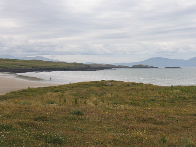
View northeast across Red Wharf Bay - geograph.org.uk - 944068.jpg - GeographBot

Trearddur bay - geograph.org.uk - 952233.jpg - GeographBot

A small beach at the south-eastern corner of Porth Cwyfan - geograph.org.uk - 1042874.jpg - GeographBot

A yacht moored in the shelter of the reefs - geograph.org.uk - 1046771.jpg - GeographBot

Llanlleiana beach - geograph.org.uk - 1111917.jpg - GeographBot
The beach at the head of Porth Llanlleiana from Dinas Gynfor - geograph.org.uk - 1111864.jpg - GeographBot

The head of Porth Llanlleiana - geograph.org.uk - 1115059.jpg - GeographBot

Trwyn Llanlleiana from the beach - geograph.org.uk - 1111961.jpg - GeographBot

Storm beach at Porth-y-Pistyll - geograph.org.uk - 1221245.jpg - GeographBot

The Menai Strait - geograph.org.uk - 1266203.jpg - GeographBot

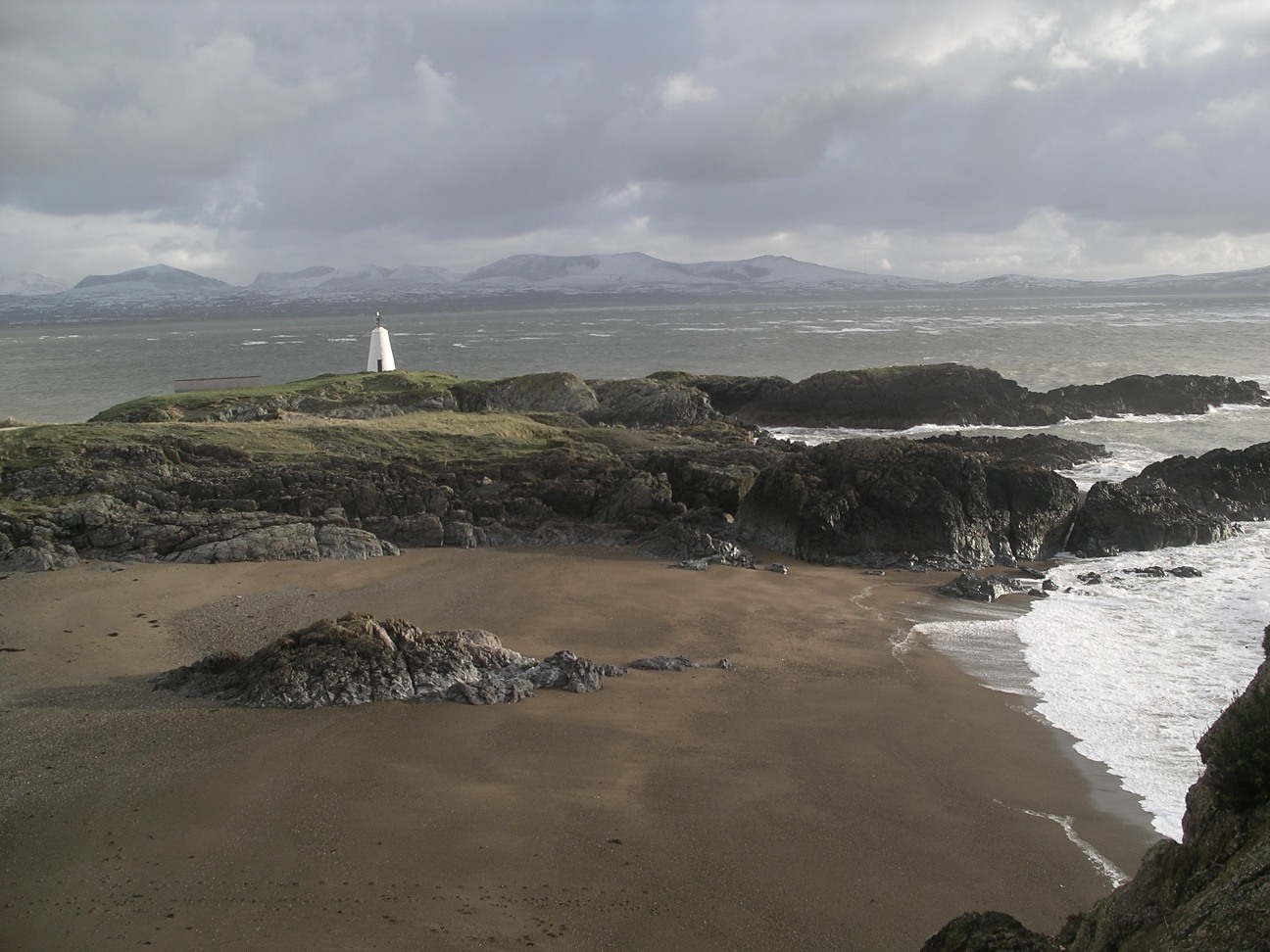
The tower at Ynys Llanddwyn - geograph.org.uk - 1288477.jpg - GeographBot

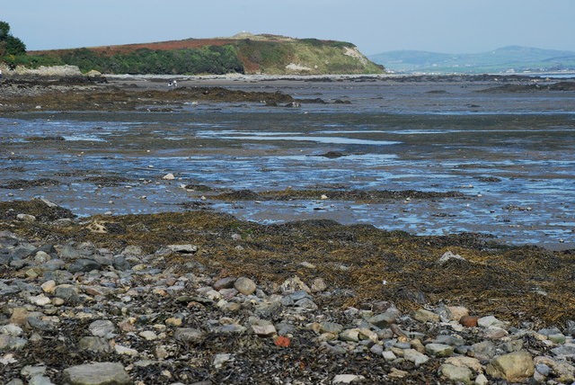
Old limestone quarry and a cliff top chalet at Traeth Bychan - geograph.org.uk - 1342991.jpg - GeographBot

View across to the Penrhyn promontory - geograph.org.uk - 1343415.jpg - GeographBot

Along the Menai Strait - geograph.org.uk - 1408083.jpg - GeographBot

East of Gallows Point, Beaumaris - geograph.org.uk - 1407261.jpg - GeographBot

Equestrian exercise, Red Wharf Bay - geograph.org.uk - 1406852.jpg - GeographBot

Porth yr Afon beach from the south - geograph.org.uk - 1407104.jpg - GeographBot

Shingle beach and boulder clay cliffs on the north side of Porth Trefadog - geograph.org.uk - 1408359.jpg - GeographBot

Shingle ridge and sandy beach at Traeth Trefadog - geograph.org.uk - 1406702.jpg - GeographBot

Stone beach and colourful cliffs at Porth Penterfyn - geograph.org.uk - 1407168.jpg - GeographBot

The beach and wave-cut platform at Porth Penterfyn - geograph.org.uk - 1407134.jpg - GeographBot

The beach in front of the Natural Arch - geograph.org.uk - 1400975.jpg - GeographBot

The exposed shingle beach at Porth Fudr - geograph.org.uk - 1407060.jpg - GeographBot

The shingle beach below the headland at Creigiau - geograph.org.uk - 1407194.jpg - GeographBot

The shoreline at Porth Fudr - geograph.org.uk - 1400986.jpg - GeographBot

The south side of Traeth Trefadog beach - geograph.org.uk - 1408363.jpg - GeographBot

View north across Traeth Trefadog beach - geograph.org.uk - 1408365.jpg - GeographBot

View northwards across Trefadog beach - geograph.org.uk - 1406041.jpg - GeographBot

Craig Dwlban and Benllech Strand - geograph.org.uk - 1437669.jpg - GeographBot

On the beach near Traeth Bychan - geograph.org.uk - 1742018.jpg - GeographBot

Anglesey coast.jpg - FlickreviewR

Anglesey 2011 (6101994263).jpg - File Upload Bot (Magnus Manske)

Traeth Bychan - geograph.org.uk - 2910819.jpg - File Upload Bot (Magnus Manske)

Porth Llanlleiana (7991545533).jpg - Amada44
Fetch - panoramio.jpg - Panoramio upload bot

Cemaes Bay, Anglesey.jpg - Lesbardd

Path to the beach at Sandy Beach caravan park - geograph.org.uk - 4858535.jpg - GeographBot