Wikimedi'Òc
Modes d'emploi

Cet album fait partie des albums
Cet album photos contient les sous-albums suivants :


Lligwy.jpg - Angusmclellan

Church Bay - geograph.org.uk - 38394.jpg - GeographBot

Porth Forllwyd - geograph.org.uk - 38559.jpg - GeographBot

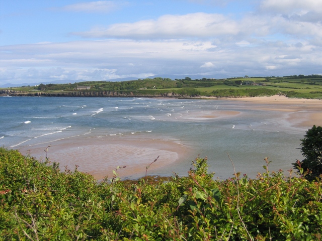
Porth Helaeth - geograph.org.uk - 38514.jpg - GeographBot

Porth Nobla, Anglesey - geograph.org.uk - 41892.jpg - GeographBot

Porth-yr-Ysgaw (Porth Eilian) - geograph.org.uk - 79139.jpg - GeographBot

Trecastell Bay Anglesey - geograph.org.uk - 38836.jpg - GeographBot

Hen Borth on NW coast of Anglesey - geograph.org.uk - 88737.jpg - GeographBot
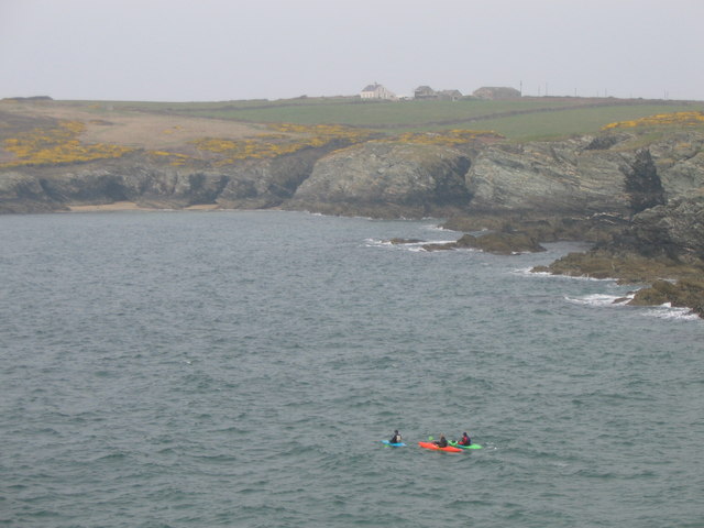
Canoeist leaving Porth Dafarch - geograph.org.uk - 158826.jpg - GeographBot

Rhoscolyn from the sea - geograph.org.uk - 145053.jpg - GeographBot

Friars Bay, Menai Straits, Beaumaris, Anglesey. - geograph.org.uk - 183169.jpg - GeographBot

Porth Wen bay - geograph.org.uk - 183855.jpg - GeographBot

Porth Forllwyd - geograph.org.uk - 226635.jpg - GeographBot

Bae Malltraeth Bay - geograph.org.uk - 255428.jpg - GeographBot

Trearddur Bay - geograph.org.uk - 304921.jpg - GeographBot

Conwy Bay - geograph.org.uk - 338834.jpg - GeographBot

Porth Padrig from the headland - geograph.org.uk - 330527.jpg - GeographBot

First view of Porthygwichiaid - geograph.org.uk - 392475.jpg - GeographBot

Porth Swtan or Church Bay - geograph.org.uk - 414251.jpg - GeographBot
Porth Diana - geograph.org.uk - 426437.jpg - GeographBot

Bae Penmon Bay - geograph.org.uk - 434290.jpg - GeographBot

Fryars Bay - geograph.org.uk - 435437.jpg - GeographBot

Porth Lleiniog at low tide - geograph.org.uk - 434851.jpg - GeographBot

View back across Penmon Bay to Flagstaff Quarry - geograph.org.uk - 434302.jpg - GeographBot

Late evening view of Holyhead Bay - geograph.org.uk - 466869.jpg - GeographBot

Evening sun on boats moored off Llanddwyn Island - geograph.org.uk - 476191.jpg - GeographBot

Malltraeth Bay - geograph.org.uk - 489190.jpg - GeographBot

Bay to South East of Dinas Trefri - geograph.org.uk - 495035.jpg - GeographBot

Path down to Church Bay - geograph.org.uk - 490165.jpg - GeographBot

Rocks at North side of Church Bay - geograph.org.uk - 490174.jpg - GeographBot

Placid Porth Eilian with the Lynas Point lighthouse in the background - geograph.org.uk - 735143.jpg - GeographBot

Bracken infested cliff-top above Fresh Water Bay - geograph.org.uk - 749218.jpg - GeographBot

Exposed wave cut platform at Fresh Water Bay at low tide - geograph.org.uk - 749142.jpg - GeographBot

View across Traeth Dulas to a second wreck - geograph.org.uk - 755882.jpg - GeographBot
Bae Cymyran Bay - geograph.org.uk - 787131.jpg - GeographBot

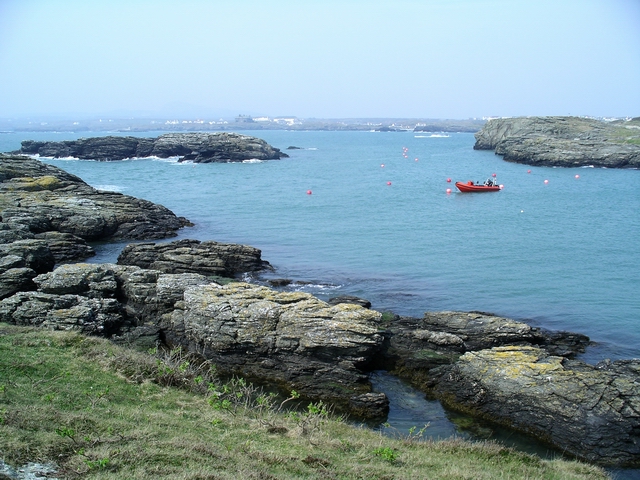
A yacht moored in the shelter of the reefs - geograph.org.uk - 1046771.jpg - GeographBot

A glistening sea at the mouth of Porth Trecastell - geograph.org.uk - 1060345.jpg - GeographBot

Cliff top on the south side of Porth Wen - geograph.org.uk - 1096685.jpg - GeographBot

Cove south of Porth Padrig - geograph.org.uk - 1186039.jpg - GeographBot

Porth Crugmor from the north - geograph.org.uk - 1373362.jpg - GeographBot

Holyhead Bay from Anglesey Alumimium - geograph.org.uk - 1415164.jpg - GeographBot

Caernarfon Bay from the mouth of Porth Dafarch cove - geograph.org.uk - 1435090.jpg - GeographBot

Abraham's Bosom from the Trearddur-South Stack road - geograph.org.uk - 1443482.jpg - GeographBot

Abraham's Bosom from the new section of the coastal path - geograph.org.uk - 1443648.jpg - GeographBot

Benllech views (16402471150).jpg - Jason.nlw

The cromlech at Trefigneth, Anglesea.jpeg - Jason.nlw

Porth Trecastell from car park - geograph.org.uk - 2636241.jpg - GeographBot

Aberffraw coast.jpg - Mattcymru2

Porth Trecastell, Anglesey - geograph.org.uk - 4393325.jpg - GeographBot