Wikimedi'Òc
Modes d'emploi

Cet album fait partie des albums
Cet album photos contient les sous-albums suivants :


Bartonoldmap.PNG - Lcarsdata

Barton-le-Clay War Memorial.JPG - Lcarsdata

Barton-le-Clay Village Sign.jpg - Lcarsdata
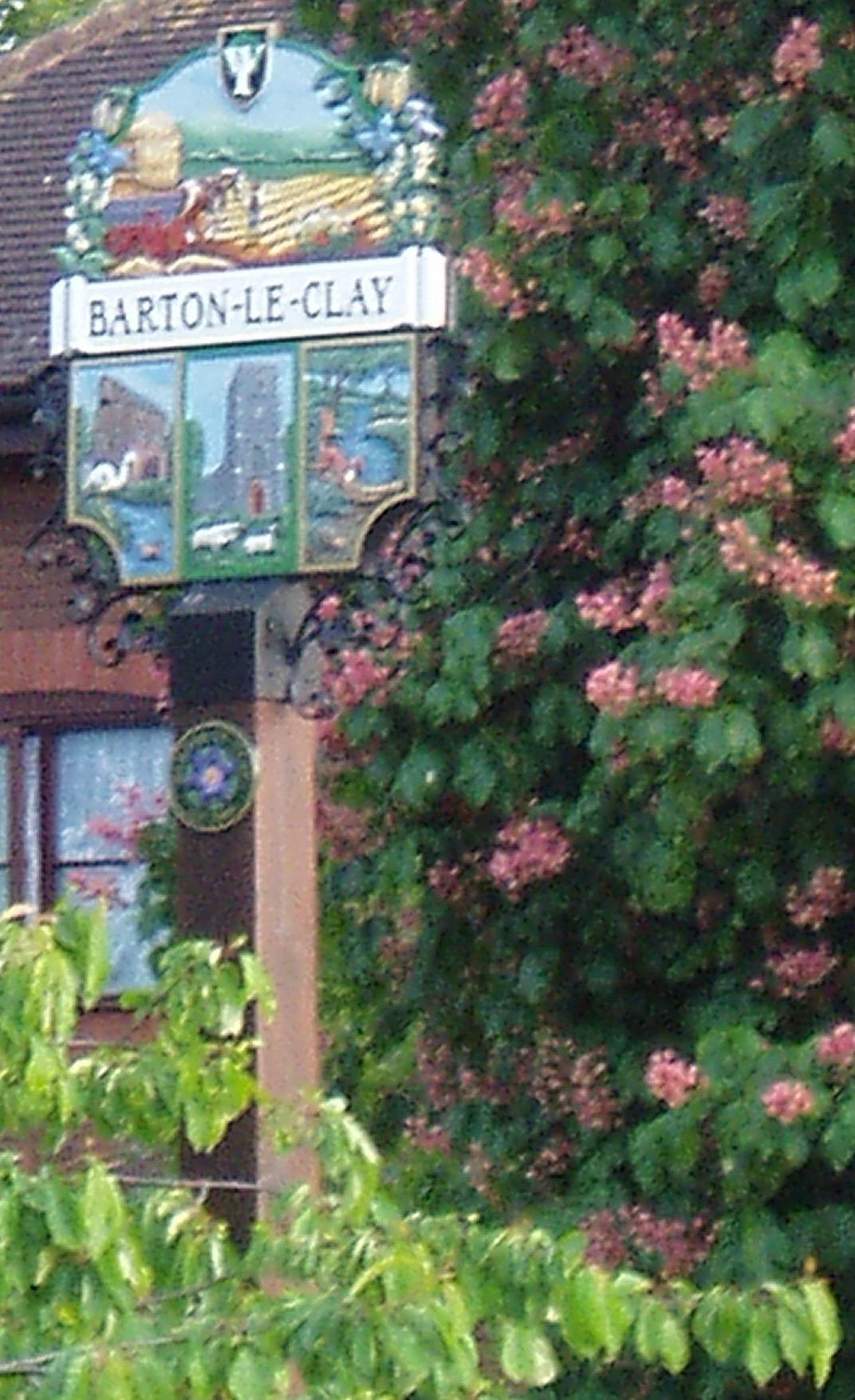
Barton-le-Clay village sign 2.JPG - Lcarsdata

Ancient Earthworks below Pulloxhill, Beds - geograph.org.uk - 64354.jpg - GeographBot
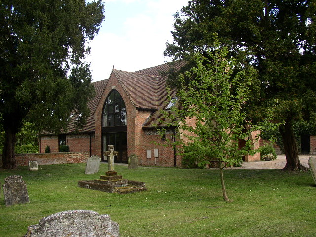
Church Hall, Barton in the Clay - geograph.org.uk - 43488.jpg - GeographBot

Cycling along the Bridleway from Barton Le Clay - geograph.org.uk - 287197.jpg - GeographBot

The green wave - geograph.org.uk - 387393.jpg - GeographBot

Bridge over A6 at Barton - geograph.org.uk - 391523.jpg - GeographBot

Faldo Road nr Barton - geograph.org.uk - 391529.jpg - GeographBot

Is this Jeremiahs Tree? - geograph.org.uk - 397647.jpg - GeographBot

Jeremiahs Tree or not? - geograph.org.uk - 397657.jpg - GeographBot

Track to Jeremiahs Tree - geograph.org.uk - 397692.jpg - GeographBot

Unusual group of trees - Jeremiahs Tree? - geograph.org.uk - 397702.jpg - GeographBot

Entrance to Westhey Manor - geograph.org.uk - 400419.jpg - GeographBot

Track and hedge on TL0931 - geograph.org.uk - 400412.jpg - GeographBot

Barton-le-Clay, an aerial view - geograph.org.uk - 611421.jpg - GeographBot

Sharpenhoe Road - geograph.org.uk - 1554334.jpg - GeographBot

Barton Le Clay from Sharpenhoe Clappers - August 2009 - panoramio.jpg - Panoramio upload bot
Barton-le-Clay Post Office (geograph 4885141).jpg - Adam37

The Co-operative, Barton-le-Clay.jpg - Oxyman

GOC Hexton 028 Springsway Cottage, Barton-le-Clay (24414749121).jpg - Matlin
GOC Hexton 026 8 and 10 Church Road, Barton-le-Clay (24414748361).jpg - Matlin

GOC Hexton 023 Plum Tree Cottage, Barton-le-Clay (24497136475).jpg - Matlin

GOC Hexton 019 Chilterns landscape (24450219556).jpg - Matlin

GOC Hexton 018 Chilterns landscape (24180847430).jpg - Matlin

GOC Hexton 017 Chilterns landscape (24108652419).jpg - Matlin

GOC Hexton 016 Chilterns landscape (24450207766).jpg - Matlin

GOC Hexton 015 Chilterns landscape (24368107012).jpg - Matlin

GOC Hexton 014 Chilterns landscape (24428492196).jpg - Matlin

GOC Hexton 013 Chilterns landscape (24372243771).jpg - Matlin

GOC Hexton 012 Chilterns landscape (23827897393).jpg - Matlin

GOC Hexton 011 Chilterns landscape (24428484456).jpg - Matlin

Barton Le Clay from the air - geograph.org.uk - 2053236.jpg - GeographBot

Barton Le Clay from the air - geograph.org.uk - 2053240.jpg - GeographBot

Sharpenhoe Road - geograph.org.uk - 2137262.jpg - GeographBot

Kissing Gate - geograph.org.uk - 2137287.jpg - GeographBot

Fields Edge - geograph.org.uk - 2137310.jpg - GeographBot

The Luton Road, Barton-le-Clay - geograph.org.uk - 2500222.jpg - GeographBot

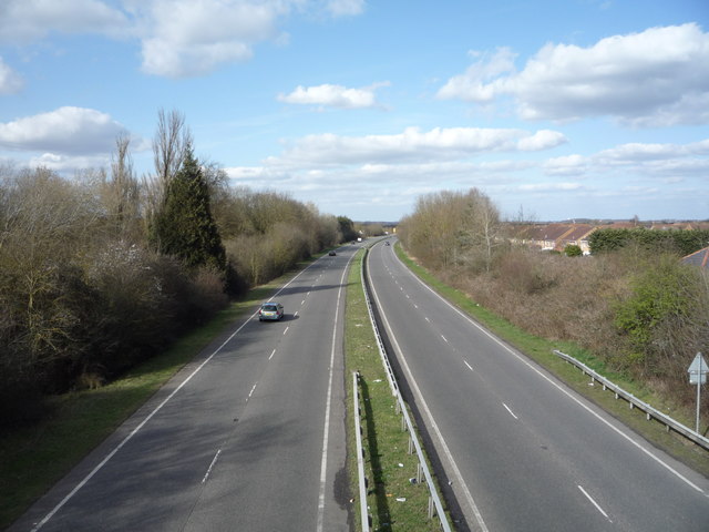
The A6 by Barton-le-Clay - geograph.org.uk - 2558196.jpg - GeographBot

Roundabout on the A6, Barton-le-Clay - geograph.org.uk - 2558200.jpg - GeographBot

The A6, Streatley - geograph.org.uk - 2558260.jpg - GeographBot

The A6, Pulloxhill - geograph.org.uk - 2559914.jpg - GeographBot

Roundabout on the A6, Barton-le-Clay - geograph.org.uk - 2559923.jpg - GeographBot

Roundabout on the A6, Barton-le-Clay - geograph.org.uk - 2559941.jpg - GeographBot

Overlooking the roundabout on the A6,Streatley - geograph.org.uk - 2559952.jpg - GeographBot

A6 Streatley Roundabout - geograph.org.uk - 3047395.jpg - GeographBot

Sign For Barton - geograph.org.uk - 3047411.jpg - GeographBot

The John Bunyan Trail - geograph.org.uk - 3047417.jpg - GeographBot

Barton Hill Farm - geograph.org.uk - 3047438.jpg - GeographBot

Straight fence - geograph.org.uk - 3047441.jpg - GeographBot

Public Bridleway - geograph.org.uk - 3047489.jpg - GeographBot

Public Bridleway - geograph.org.uk - 3047512.jpg - GeographBot

Higham Road - geograph.org.uk - 3047537.jpg - GeographBot

The A6 Looking towards Barton - geograph.org.uk - 3047599.jpg - GeographBot

The A6 Looking Towards Luton - geograph.org.uk - 3047606.jpg - GeographBot

Footpath to the A6 - geograph.org.uk - 3745472.jpg - GeographBot

Footpath to Faldo Farm - geograph.org.uk - 3745474.jpg - GeographBot

Deciduous plantation by the path - geograph.org.uk - 3745480.jpg - GeographBot

Drain by the A6 - geograph.org.uk - 3745494.jpg - GeographBot

Footpath from Bedford Road - geograph.org.uk - 3745497.jpg - GeographBot

Track to the sewage works - geograph.org.uk - 3745499.jpg - GeographBot

Footpath to Higham Gobion - geograph.org.uk - 3745500.jpg - GeographBot

Farmland east of the A6 near Streatley - geograph.org.uk - 4230649.jpg - GeographBot

Farm track running alongside a truncated hedge - geograph.org.uk - 4230656.jpg - GeographBot

Farmland north of the Streatley - Lilley Road - geograph.org.uk - 4230677.jpg - GeographBot

The road from Streatley to Lilley - geograph.org.uk - 4230703.jpg - GeographBot

Houses at the northern edge of Barton-le-Clay - geograph.org.uk - 4233560.jpg - GeographBot

Bungalows, Windsor Road, Barton-le-Clay - geograph.org.uk - 4233564.jpg - GeographBot

Autumn tree by a 61 metre spot height - geograph.org.uk - 4233573.jpg - GeographBot

Autumn trees by a postbox and noticeboard - geograph.org.uk - 4233579.jpg - GeographBot

Public footpath to Barton-le-Clay - geograph.org.uk - 4233593.jpg - GeographBot

Autumn trees along the footpath to Barton-le-Clay - geograph.org.uk - 4234696.jpg - GeographBot

Edge of a field at the edge of the Chilterns - geograph.org.uk - 4236225.jpg - GeographBot

Public bridleway at the northern edge of the Chilterns - geograph.org.uk - 4236228.jpg - GeographBot

Bridleway at Waytinghill Plantation - geograph.org.uk - 4236233.jpg - GeographBot

The north-west edge of Claypit Plantation - geograph.org.uk - 4236237.jpg - GeographBot

Farmland shadowed by roadside trees, west of Hexton - geograph.org.uk - 4236245.jpg - GeographBot

Farmland between Barton-le-Clay and Hexton - geograph.org.uk - 4236252.jpg - GeographBot

Public bridleway running north from the B655 - geograph.org.uk - 4236257.jpg - GeographBot

Farmland east of Barton-le-Clay - geograph.org.uk - 4236262.jpg - GeographBot

Field bridge, east of the A6 - geograph.org.uk - 4236275.jpg - GeographBot

Hertfordshire farmscape - geograph.org.uk - 4281951.jpg - GeographBot

Old bus at The Olde Watermill Shopping Village, Barton-le-Clay - geograph.org.uk - 4735799.jpg - GeographBot

The Olde Watermill, Barton-le-Clay - geograph.org.uk - 4735809.jpg - GeographBot

Track off Barton Road - geograph.org.uk - 4880790.jpg - GeographBot

Farmland north of Barton Road - geograph.org.uk - 4883358.jpg - GeographBot

Entering Barton-le-Clay - geograph.org.uk - 4883364.jpg - GeographBot
A6 heading north, Barton-le-Clay - geograph.org.uk - 4883368.jpg - GeographBot

Sharpenhoe Road, Barton-le-Clay - geograph.org.uk - 4883373.jpg - GeographBot

Barton Village Hall & Doctor's Surgery - geograph.org.uk - 4883389.jpg - GeographBot

Houses off Hexton Road, Barton-le-Clay - geograph.org.uk - 4883392.jpg - GeographBot

Rolling farmland off Hexton Road, Barton-le-Clay - geograph.org.uk - 4883394.jpg - GeographBot

Hexton Road (B655) - geograph.org.uk - 4883397.jpg - GeographBot

Arnold Academy, Barton-le-Clay - geograph.org.uk - 4883401.jpg - GeographBot

Houses on Manor Road, Barton-le-Clay - geograph.org.uk - 4883404.jpg - GeographBot

Manor Road, Barton-le-Clay - geograph.org.uk - 4883407.jpg - GeographBot

The Cottages, Barton-le-Clay - geograph.org.uk - 4883420.jpg - GeographBot

Mill Lane, Barton-le-Clay - geograph.org.uk - 4883433.jpg - GeographBot

Dual use path off Mill Lane, Barton-le-Clay - geograph.org.uk - 4883440.jpg - GeographBot
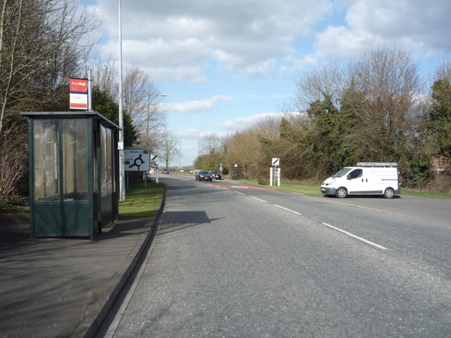
Bus stop and shelter on the B655 - geograph.org.uk - 4883445.jpg - GeographBot

Higham Road - geograph.org.uk - 4883449.jpg - GeographBot

Drain near Westhey Manor - geograph.org.uk - 4883457.jpg - GeographBot

Elizabeth II postbox on Manor Road, Barton-le-Clay - geograph.org.uk - 4883779.jpg - GeographBot

Close up, Elizabeth II postbox on Manor Road, Barton-le-Clay - geograph.org.uk - 4883782.jpg - GeographBot

Manor Road, Barton-le-Clay - geograph.org.uk - 4883785.jpg - GeographBot

Elizabeth II postbox outside Barton-le-Clay Post Office - geograph.org.uk - 4885132.jpg - GeographBot

Cypher, Elizabeth II postbox outside Barton-le-Clay Post Office - geograph.org.uk - 4885134.jpg - GeographBot

Detail, Elizabeth II postbox outside Barton-le-Clay Post Office - geograph.org.uk - 4885137.jpg - GeographBot

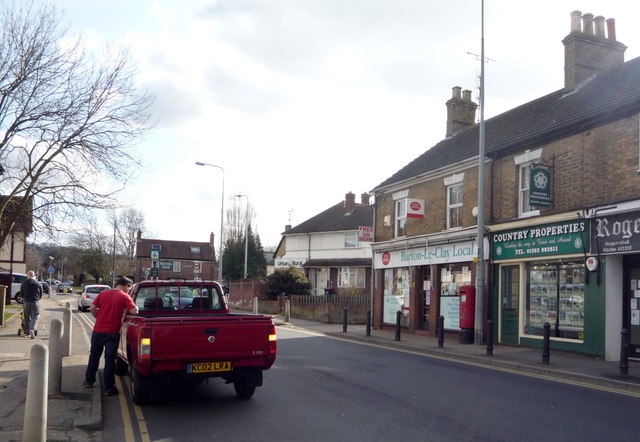
Barton-le-Clay Post Office - geograph.org.uk - 4885140.jpg - GeographBot

Elizabeth II postbox on Gale Court, Barton-le-Clay - geograph.org.uk - 4885309.jpg - GeographBot

Close up, Elizabeth II postbox on Gale Court, Barton-le-Clay - geograph.org.uk - 4885314.jpg - GeographBot

Gale Court, Barton-le-Clay - geograph.org.uk - 4885315.jpg - GeographBot

Elizabeth II postbox on Bedford Road, Barton-le-Clay - geograph.org.uk - 4885317.jpg - GeographBot

Cypher, Elizabeth II postbox on Bedford Road, Barton-le-Clay - geograph.org.uk - 4885318.jpg - GeographBot

Detail, Elizabeth II postbox on Bedford Road, Barton-le-Clay - geograph.org.uk - 4885319.jpg - GeographBot

Telephone box and Elizabeth II postbox on Bedford Road, Barton-le-Clay - geograph.org.uk - 4885320.jpg - GeographBot

Telephone box and Elizabeth II postbox on Bedford Road, Barton-le-Clay - geograph.org.uk - 4885321.jpg - GeographBot

Entering Barton-le-Clay on Higham Road - geograph.org.uk - 5297146.jpg - GeographBot

Field entrance on Higham Road, Barton-le-Clay - geograph.org.uk - 5297154.jpg - GeographBot

Entering Barton-le-Clay on Higham Road - geograph.org.uk - 5297160.jpg - GeographBot

Roundabout on Higham Road, Barton-le-Clay - geograph.org.uk - 5297163.jpg - GeographBot

Bedford Road, Barton-le-Clay - geograph.org.uk - 5297332.jpg - GeographBot

Roundabout on Bedford Road, Barton-le-Clay - geograph.org.uk - 5298362.jpg - GeographBot

Roundabout on Bedford Road, Barton-le-Clay - geograph.org.uk - 5311305.jpg - GeographBot

Lay by on the A6, Barton-le-Clay - geograph.org.uk - 5311308.jpg - GeographBot

The A6, Barton-le-Clay - geograph.org.uk - 5311310.jpg - GeographBot

Roundabout on Luton Road, Streatley - geograph.org.uk - 5311315.jpg - GeographBot

Lay by on the A6, Barton-le-Clay - geograph.org.uk - 5434053.jpg - GeographBot

Path crossing the brook in Barton-Le-Clay - geograph.org.uk - 6110024.jpg - GeographBot

The Olde Watermill, Barton-le-Clay - geograph.org.uk - 6110681.jpg - GeographBot

Car parking at Barton Mill - geograph.org.uk - 6377902.jpg - GeographBot

Footpath towards Grange Farm - geograph.org.uk - 6408700.jpg - GeographBot

Open space by the Bedford Road - geograph.org.uk - 6408701.jpg - GeographBot

View down Mill Lane - geograph.org.uk - 6408704.jpg - GeographBot

Footpath heading towards Manor Road - geograph.org.uk - 6408875.jpg - GeographBot

Wesleyan chapel on Sharpenhoe Road - geograph.org.uk - 6409168.jpg - GeographBot

Brook by the A6 - geograph.org.uk - 6409180.jpg - GeographBot

Footpath towards Pulloxhill - geograph.org.uk - 6410389.jpg - GeographBot

Footpath to Barton Mill - geograph.org.uk - 6410393.jpg - GeographBot

Footpath down to Barton Mill - geograph.org.uk - 6410405.jpg - GeographBot

Farmland looking towards Sharpenhoe Clappers - geograph.org.uk - 6410409.jpg - GeographBot

Footpath into Barton - geograph.org.uk - 6410415.jpg - GeographBot

Shops on Bedford Road, Barton-le-Clay - geograph.org.uk - 6674640.jpg - GeographBot

C^H Barton Chemist, Barton-le-Clay - geograph.org.uk - 6674641.jpg - GeographBot

The Cottages, Barton-le-Clay - geograph.org.uk - 6674643.jpg - GeographBot

B655 Hexton Road - geograph.org.uk - 6826164.jpg - GeographBot

Hexton Road, Barton-le-Clay - geograph.org.uk - 6826205.jpg - GeographBot

Cycling through Barton-le-Clay - geograph.org.uk - 6826221.jpg - GeographBot

A6 Bedford Road - geograph.org.uk - 6826232.jpg - GeographBot

Barton Academy, Barton-le-Clay - geograph.org.uk - 6846525.jpg - GeographBot

Houses on Hexton Road, Barton-le-Clay - geograph.org.uk - 6846526.jpg - GeographBot

Tudor house on Hexton Road, Barton-le-Clay - geograph.org.uk - 6846527.jpg - GeographBot

House on Hexton Road, Barton-le-Clay - geograph.org.uk - 6846528.jpg - GeographBot

Hexton Road approaching Barton-le-Clay - geograph.org.uk - 6851324.jpg - GeographBot

John Bunyan Trail going towards Bartyon-le-Clay - geograph.org.uk - 6860714.jpg - GeographBot

Farmland looking north from the Trail - geograph.org.uk - 6860720.jpg - GeographBot

Sharpenhoe Grove - geograph.org.uk - 6896637.jpg - GeographBot

John Bunyan Trail swerves past the log - geograph.org.uk - 6896645.jpg - GeographBot

John Bunyan Trail heading for Sharpenhoe - geograph.org.uk - 6896647.jpg - GeographBot

Cafe Goa Restaurant, Barton-le-Clay - geograph.org.uk - 6922676.jpg - GeographBot

The Bull public house, Barton-le-Clay - geograph.org.uk - 6922680.jpg - GeographBot

Houses on Mill Lane - geograph.org.uk - 6922687.jpg - GeographBot

Houses on Brookend Drive - geograph.org.uk - 6922694.jpg - GeographBot

Bridleway to Barton Hills - geograph.org.uk - 7218411.jpg - GeographBot

Climbing up the bridleway - geograph.org.uk - 7218414.jpg - GeographBot

Looking over the wheat towards Ravensburgh Castle (fort) - geograph.org.uk - 7218416.jpg - GeographBot

Bridleway going up the hill - geograph.org.uk - 7218419.jpg - GeographBot

Path through the barley - geograph.org.uk - 7218424.jpg - GeographBot

Wild flowers by the side of the bridleway - geograph.org.uk - 7218432.jpg - GeographBot

Barton-le-Clay village sign - geograph.org.uk - 7664323.jpg - GeographBot

Church at Barton-le-Clay - geograph.org.uk - 7664325.jpg - GeographBot

Barton Hills in view from Barton-le-Clay - geograph.org.uk - 7664328.jpg - GeographBot

Gate and sign for Barton Hills Nature Reserve - geograph.org.uk - 7664332.jpg - GeographBot

Bench view with Sharpenhoe Clapper in the background - geograph.org.uk - 7664334.jpg - GeographBot

Church in sunshine among the trees - geograph.org.uk - 7664337.jpg - GeographBot

Walkers on the Barton Hills - geograph.org.uk - 7664338.jpg - GeographBot

Three white ponies on the Barton Hills - geograph.org.uk - 7664341.jpg - GeographBot

Dry valley, Barton Hills - geograph.org.uk - 7664342.jpg - GeographBot

Path in Barton Hills National Nature Reserve - geograph.org.uk - 7732826.jpg - GeographBot

Path into Barton Hills National Nature Reserve - geograph.org.uk - 7732828.jpg - GeographBot

Path in Barton Hills National Nature Reserve - geograph.org.uk - 7732829.jpg - GeographBot

Path on the west side of the stream below Leet Wood, Barton-le-Clay - geograph.org.uk - 7732890.jpg - GeographBot

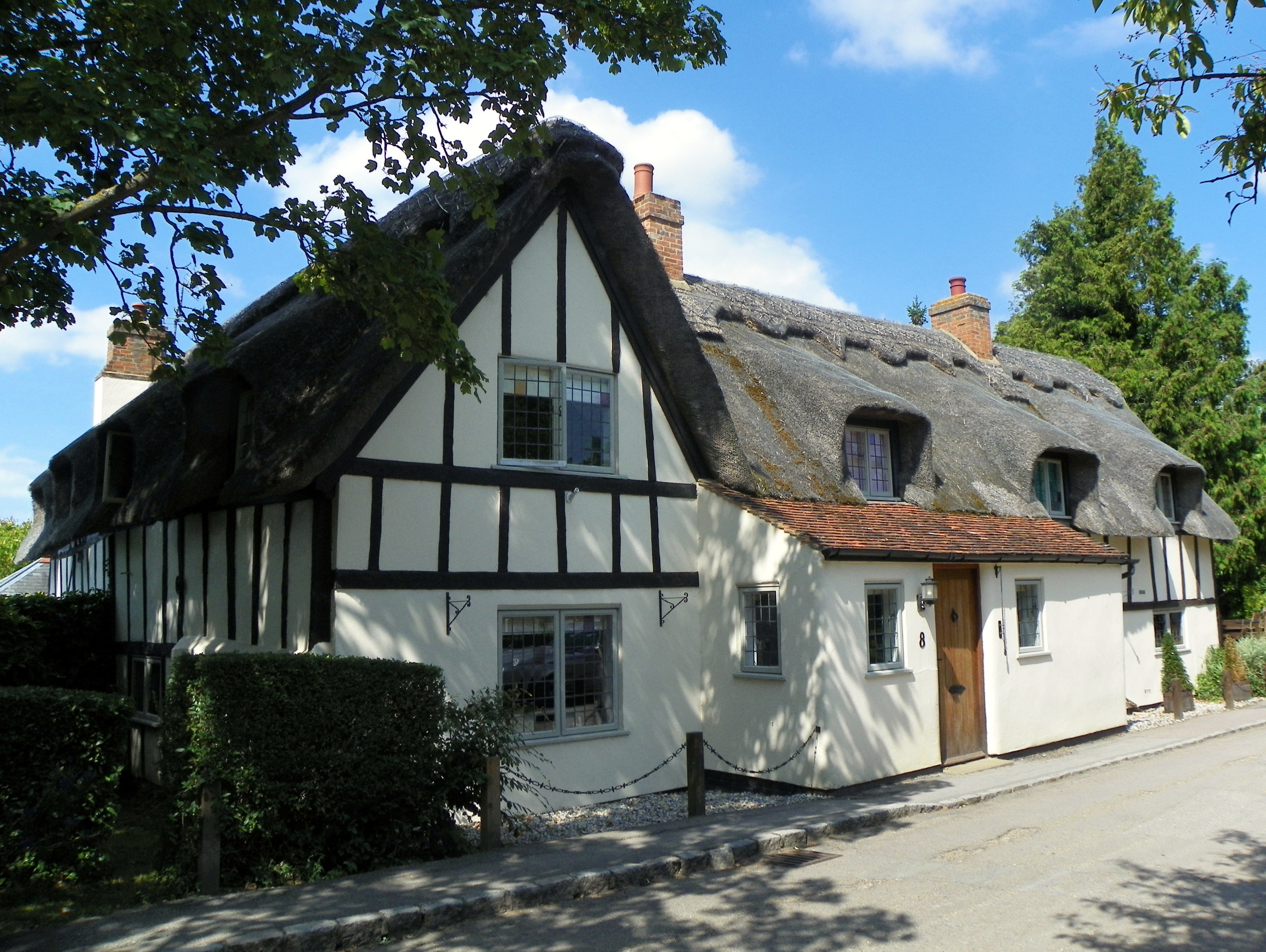
Thatched cottages on Church Road, Barton-le-Clay - geograph.org.uk - 7732891.jpg - GeographBot

Footbridge and logs off Church Road, Barton-le-Clay - geograph.org.uk - 7733035.jpg - GeographBot

Burial ground, Barton-le-Clay - geograph.org.uk - 7733042.jpg - GeographBot

Burial ground, Barton-le-Clay - geograph.org.uk - 7733049.jpg - GeographBot

Path from Church Road to Barton Hills National Nature Reserve, Barton-le-Clay - geograph.org.uk - 7733076.jpg - GeographBot

Graveyard on the north side of St Nicholas's Church, Barton-le-Clay - geograph.org.uk - 7733243.jpg - GeographBot

Pathin the churchyard, formerly to Rectory Farm, Barton-le-Clay - geograph.org.uk - 7733250.jpg - GeographBot

Churchyard on the south side of St Nicholas's Church, Barton-le-Caly - geograph.org.uk - 7733255.jpg - GeographBot

Barton Methodist Church, Beds - geograph.org.uk - 7736744.jpg - GeographBot

Telephone Exchange, Barton-le-Clay - geograph.org.uk - 7740577.jpg - GeographBot