Wikimedi'Òc
Modes d'emploi

Cet album fait partie des albums
Cet album photos contient les sous-albums suivants :


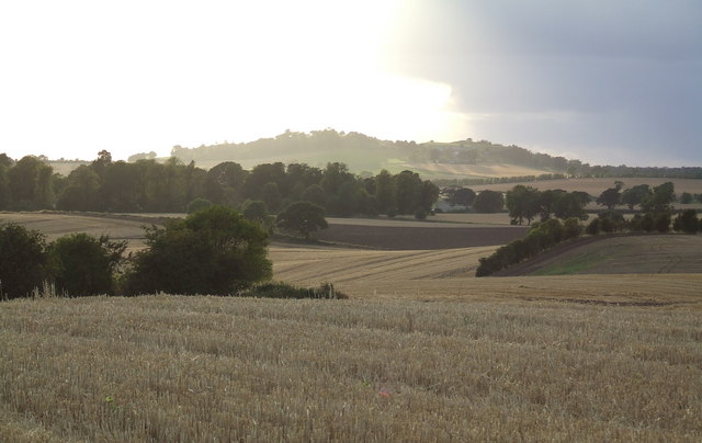
Angus farmland - geograph.org.uk - 9697.jpg - GeographBot

Farmland near Travebank - geograph.org.uk - 9685.jpg - GeographBot

Golf practice area at Barry - geograph.org.uk - 16800.jpg - GeographBot

Halt^ Who goes there^ - geograph.org.uk - 16797.jpg - GeographBot

Lower Balmachie farm - geograph.org.uk - 16824.jpg - GeographBot

New Downie farm - geograph.org.uk - 17089.jpg - GeographBot

Panmure Golf Club - geograph.org.uk - 16791.jpg - GeographBot

Pitskelly farmhouse north of Carnoustie - geograph.org.uk - 16814.jpg - GeographBot

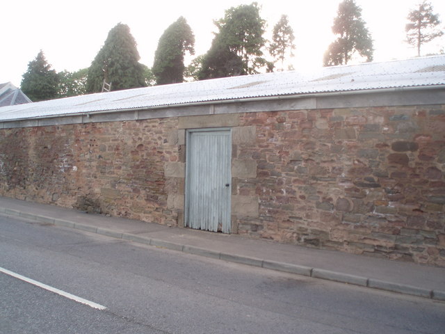
Sawmill, Panmure Estate - geograph.org.uk - 17379.jpg - GeographBot

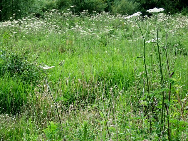
Summer hedgerow - geograph.org.uk - 17084.jpg - GeographBot

The eighteenth hole^ - geograph.org.uk - 16794.jpg - GeographBot

Welcome to Carnoustie - geograph.org.uk - 16812.jpg - GeographBot

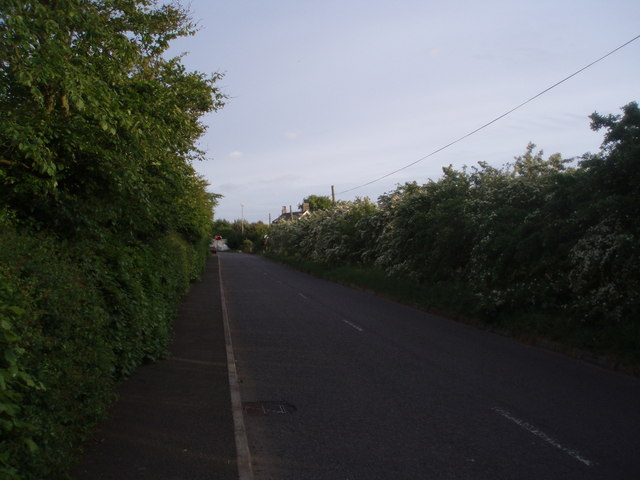
Wrong side of the shelter belt^ - geograph.org.uk - 17082.jpg - GeographBot

Young brassicas - geograph.org.uk - 16786.jpg - GeographBot

Gatehouses, Panmure estate, with barley twist chimneys - geograph.org.uk - 121114.jpg - GeographBot

Shelter belt to North of Balmachie - geograph.org.uk - 131735.jpg - GeographBot

Barry Kirkyard - geograph.org.uk - 170704.jpg - GeographBot
Woodhill.jpg - Jafeluv

Panmure Golf Clubhouse - geograph.org.uk - 363485.jpg - GeographBot

Panmure Golf Course 1st Fairway - geograph.org.uk - 362023.jpg - GeographBot

Buddon Siding (Station) site of 1934579 2bae1012.jpg - Belaro

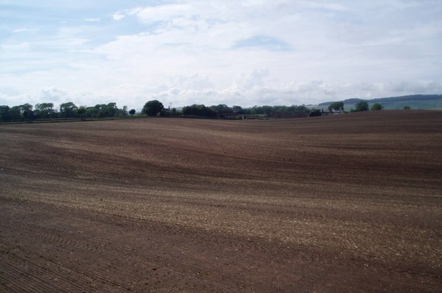
Farmland at Grange of Barry - geograph.org.uk - 395064.jpg - GeographBot

Motte at Grange of Barry - geograph.org.uk - 395055.jpg - GeographBot

The mill-lade - geograph.org.uk - 396107.jpg - GeographBot

Waterfall which operates to divert water into the mill lade - geograph.org.uk - 396098.jpg - GeographBot

Barry, East end - geograph.org.uk - 448797.jpg - GeographBot

Farmland, Barry to the West. - geograph.org.uk - 448816.jpg - GeographBot

Railway line at Barry Station - geograph.org.uk - 448741.jpg - GeographBot

Red Campion. - geograph.org.uk - 440074.jpg - GeographBot
Station Road, Barry. - geograph.org.uk - 448757.jpg - GeographBot

The millpond, Barry Mill. - geograph.org.uk - 440068.jpg - GeographBot
The old slaughter house, Barry. - geograph.org.uk - 448835.jpg - GeographBot

The orchard, Barry Mill. - geograph.org.uk - 440072.jpg - GeographBot

Farmland, Mains of Ravensby. - geograph.org.uk - 464114.jpg - GeographBot

Irrigation, Travebank. - geograph.org.uk - 464105.jpg - GeographBot

Irrigation in progress. - geograph.org.uk - 464110.jpg - GeographBot

White Clover and Common Vetch, Upper Victoria - geograph.org.uk - 464120.jpg - GeographBot

Doocot, Grange of Barry - geograph.org.uk - 476332.jpg - GeographBot

Welcome to Carnoustie - geograph.org.uk - 478301.jpg - GeographBot

Bee on Bramble flower, Barry Mill - geograph.org.uk - 483884.jpg - GeographBot
Farmland, Mains of Ravensby - geograph.org.uk - 483871.jpg - GeographBot
Hogweed, Barry Mill - geograph.org.uk - 483895.jpg - GeographBot

Pitskelly Farm - geograph.org.uk - 480695.jpg - GeographBot

Potato boxes at Pitskelly Farm - geograph.org.uk - 480697.jpg - GeographBot

Snail, Barry Mill - geograph.org.uk - 483879.jpg - GeographBot

Gaa Sand Hill, Barry Buddon - geograph.org.uk - 494725.jpg - GeographBot

Grazing Highland Coos^ - geograph.org.uk - 494792.jpg - GeographBot

Here's looking at you^ - geograph.org.uk - 494797.jpg - GeographBot

Looking towards dunes at Buddon Ness - geograph.org.uk - 494743.jpg - GeographBot

Lower Lighthouse, Buddon Ness - geograph.org.uk - 494735.jpg - GeographBot
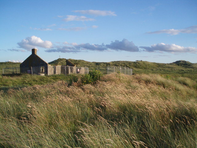
Ruined Cottage, Lower Lighthouse, Buddon Ness - geograph.org.uk - 495235.jpg - GeographBot

Sand dunes, Barry Ridge - geograph.org.uk - 496039.jpg - GeographBot

Scots Pine, on Barry Ridge - geograph.org.uk - 496023.jpg - GeographBot
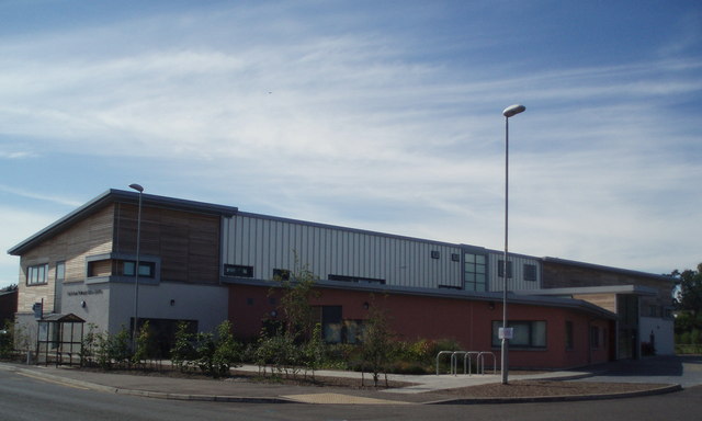
Parkside Medical Centre - geograph.org.uk - 534325.jpg - GeographBot
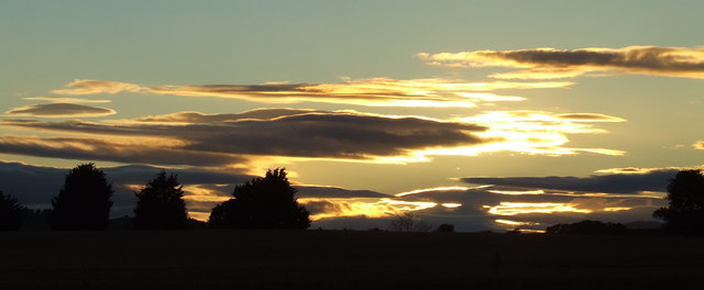
Sunset at Grange of Barry - geograph.org.uk - 548838.jpg - GeographBot

View across Barry - geograph.org.uk - 546139.jpg - GeographBot

Fungi on a willow tree - geograph.org.uk - 746225.jpg - GeographBot

Sand drift on the Woodhill road - geograph.org.uk - 763606.jpg - GeographBot

Sunset in April at Grange of Barry - geograph.org.uk - 760802.jpg - GeographBot

A frosty Barry Mill - geograph.org.uk - 1069437.jpg - GeographBot

Bubbles on the mill pond - geograph.org.uk - 1069436.jpg - GeographBot
Barry Village - geograph.org.uk - 1096526.jpg - GeographBot

Monifieth - Carnoustie - Barry Roundabout - geograph.org.uk - 1096534.jpg - GeographBot
Swan, Barry Mill - geograph.org.uk - 1226769.jpg - GeographBot

Looking out of Barry Mill into The Den - geograph.org.uk - 1257546.jpg - GeographBot

Dandelion in the grass verge at the side of the road - geograph.org.uk - 1313125.jpg - GeographBot
Fern by the lade - geograph.org.uk - 1313090.jpg - GeographBot

Musicians playing, Music at the Mill - geograph.org.uk - 1318371.jpg - GeographBot

Barry Links - geograph.org.uk - 1435831.jpg - GeographBot

Barry Links - geograph.org.uk - 1435836.jpg - GeographBot

Barry Links - geograph.org.uk - 1436035.jpg - GeographBot

Buddon Links - geograph.org.uk - 1436736.jpg - GeographBot

Carnoustie - geograph.org.uk - 1436949.jpg - GeographBot

Driving range, Carnoustie - geograph.org.uk - 1435826.jpg - GeographBot

High Lighthouse - geograph.org.uk - 1436059.jpg - GeographBot

Barry Links - geograph.org.uk - 1624087.jpg - GeographBot

Barry Links - geograph.org.uk - 1624091.jpg - GeographBot

Beach, Barry Ness - geograph.org.uk - 1624802.jpg - GeographBot

Pond near Barry Mill. - panoramio.jpg - Panoramio upload bot

Barry road old house. - panoramio.jpg - Panoramio upload bot