Wikimedi'Òc
Modes d'emploi

Cet album fait partie des albums
Cet album photos contient les sous-albums suivants :


Derelict Housing, Bucksburn Road, Balornock - geograph.org.uk - 119981.jpg - GeographBot

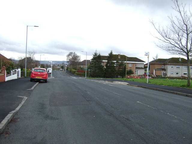
Gartons Road - geograph.org.uk - 1262176.jpg - GeographBot
Barmulloch Community Development Company logo.png - GifTagger
Barmulloch new builds.png - GifTagger

Glasgow wards 2017 no17 Springburn.png - Mouldyfox

Map of Glasgow and its Environs OS Map name 006-04, Ordnance Survey, 1857-1893.png - Fæ

Balornock from the air (geograph 5716315).jpg - Crowsus

Barmulloch Community Centre and Library (geograph 5062916).jpg - Crowsus

Ryehill Road (geograph 2466123).jpg - Crowsus

Rockfield Road, Robroyston (geograph 3483615).jpg - Crowsus

Quarrywood Road and the Red Road flats (geograph 2466788).jpg - Crowsus

The M80 motorway from the air (geograph 5716335).jpg - Crowsus

Houses on Quarrywood Road, Barmulloch (geograph 5336769).jpg - Crowsus

Railway towards Glasgow (geograph 5336764).jpg - Crowsus

Tower Block UK photo glw6-17 (Red Road 1981).jpg - Crowsus

Tower Block UK photo glw6-17 (Red Road 1981) (cropped).jpg - Crowsus

Robroyston Park Nature Reserve (geograph 2466777).jpg - Crowsus

Houses on Robroyston Road, Barmulloch (geograph 5336765).jpg - Crowsus
Robroyston Road, Barmulloch (geograph 5336766).jpg - Crowsus

All Saints RC Church, Broomfield Road, Glasgow - geograph.org.uk - 3969730.jpg - GeographBot

Entrance to Robroyston Park Local Nature Reserve - geograph.org.uk - 5062849.jpg - GeographBot

Ryehill Road, Barmulloch (geograph 6905430).jpg - Crowsus