Wikimedi'Òc
Modes d'emploi

Cet album fait partie des albums
Cet album photos contient les sous-albums suivants :


Banstead Downs golf course - geograph.org.uk - 53273.jpg - GeographBot
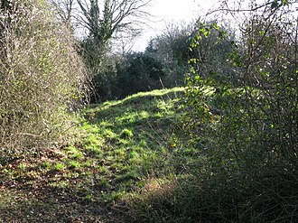
One of the tumuli on Banstead Downs. - geograph.org.uk - 53277.jpg - GeographBot

Valley by Ruffett Wood - geograph.org.uk - 584734.jpg - GeographBot

Tye Lane, turning to Frith Park - geograph.org.uk - 1086733.jpg - GeographBot

Perrotts Farm - geograph.org.uk - 1099630.jpg - GeographBot

Prison buildings near Banstead - geograph.org.uk - 1141920.jpg - GeographBot

No golf today - geograph.org.uk - 1152749.jpg - GeographBot

Path junction on Walton Heath - geograph.org.uk - 1151057.jpg - GeographBot
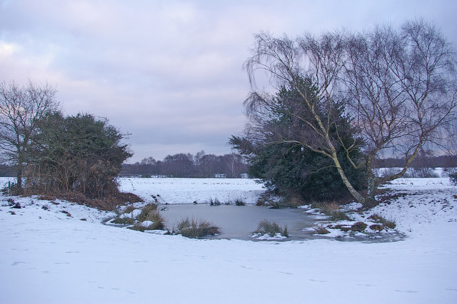
Pond on Walton Heath - geograph.org.uk - 1152754.jpg - GeographBot

The Red Lodge - geograph.org.uk - 1152723.jpg - GeographBot

Through The Long Plantation - geograph.org.uk - 1235440.jpg - GeographBot
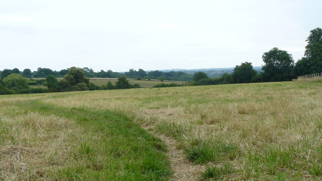
View Near Banstead, Surrey - geograph.org.uk - 1386441.jpg - GeographBot

View Near Banstead, Surrey - geograph.org.uk - 1386450.jpg - GeographBot

Pylons at Great Hurst Wood - geograph.org.uk - 1690569.jpg - GeographBot

Sheep Walk - top of the hill - geograph.org.uk - 1690518.jpg - GeographBot

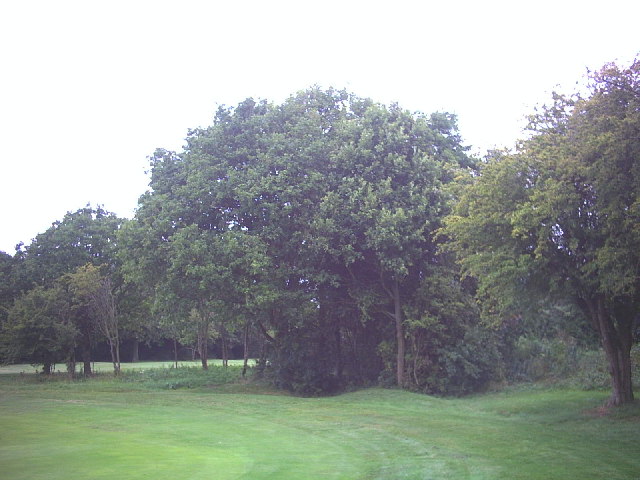
Banstead Downs Golf Course 3.JPG - Dudley Miles

Banstead Downs Golf Course 2.JPG - Dudley Miles

Banstead Downs 3.JPG - Dudley Miles
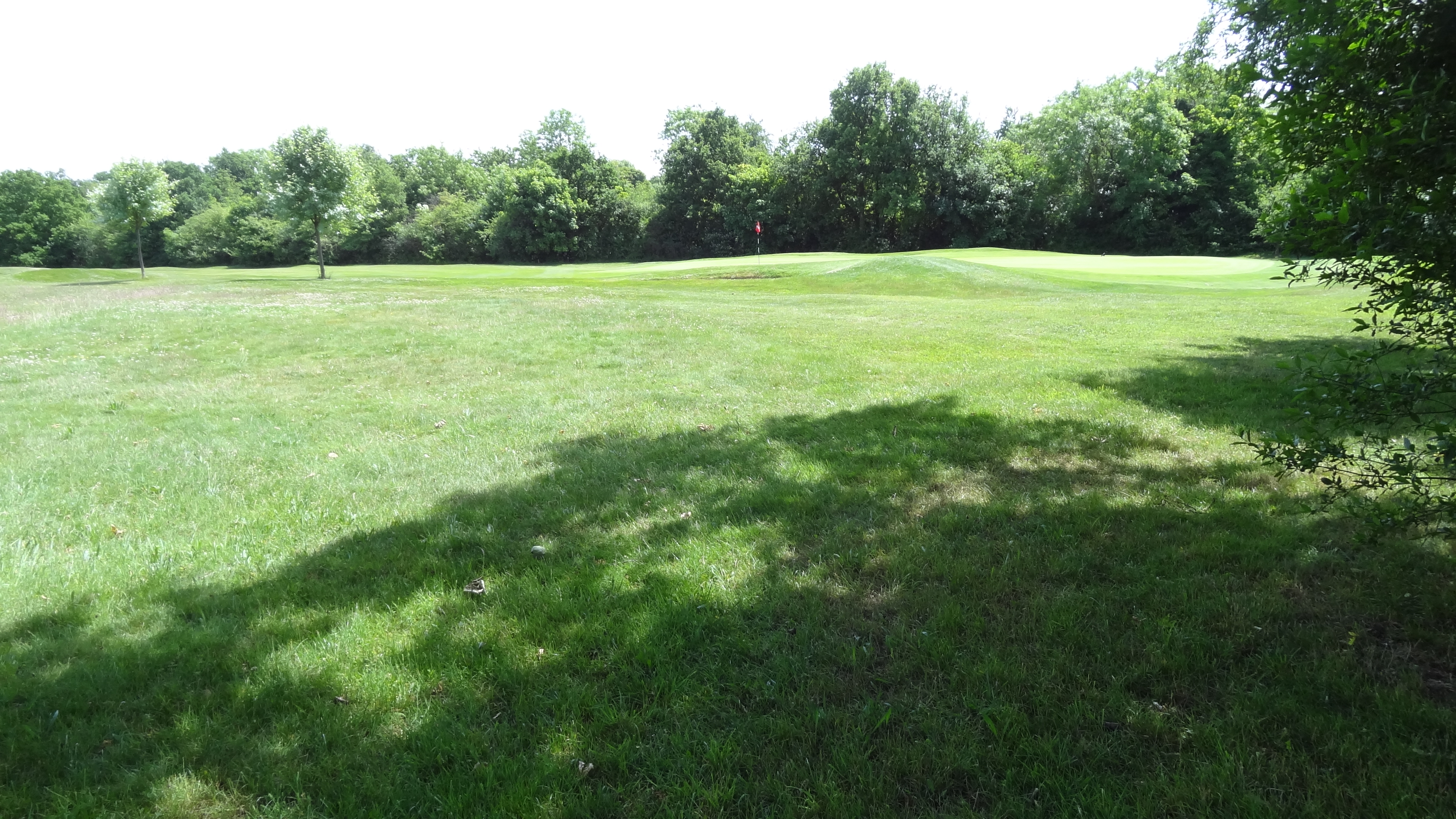
Banstead Downs Golf Course 1.JPG - Dudley Miles

Banstead Downs 2.JPG - Dudley Miles

Banstead Downs 1.JPG - Dudley Miles

Gally Hills Saxon tumulus Banstead Surrey UK.JPG - Jmchutchinson

Image taken from page 833 of 'Old & New London. By W. Thornbury and Edward Walford. Illustrated' (11239404775).jpg - Artix Kreiger 2

Banstead Downs, near Scratch Wood.jpg - AndyScott

Banstead Downs (1) - geograph.org.uk - 1880927.jpg - GeographBot

Banstead Downs (2) - geograph.org.uk - 1880932.jpg - GeographBot

Banstead Downs (3) - geograph.org.uk - 1880941.jpg - GeographBot

Banstead Downs (4) - geograph.org.uk - 1883383.jpg - GeographBot