Wikimedi'Òc
Modes d'emploi

Cet album fait partie des albums
Cet album photos contient les sous-albums suivants :


Bindon Cliffs - geograph.org.uk - 47076.jpg - GeographBot

Looking up at Goat Island - geograph.org.uk - 47078.jpg - GeographBot

Lyme Regis Undercliff - geograph.org.uk - 47304.jpg - GeographBot

Path through Dowlands Landslip - geograph.org.uk - 47092.jpg - GeographBot

The remains of Allhallows Pumping Station - geograph.org.uk - 47099.jpg - GeographBot

The remains of the engineers house - geograph.org.uk - 47100.jpg - GeographBot

Whitlands Cliff - geograph.org.uk - 47302.jpg - GeographBot

Woodlands in the Undercliff - geograph.org.uk - 69634.jpg - GeographBot

Pinhay Cliff - geograph.org.uk - 216474.jpg - GeographBot

The coast at Pinhay Bay - geograph.org.uk - 217266.jpg - GeographBot

"Chimney rock" - geograph.org.uk - 278695.jpg - GeographBot

Honeycombe reef worm burrows - Humble point - geograph.org.uk - 277991.jpg - GeographBot

Humble point - geograph.org.uk - 277987.jpg - GeographBot

Ruin dwarfed by trees - geograph.org.uk - 277998.jpg - Hohum

The undercliff above Pinhay bay - geograph.org.uk - 278004.jpg - GeographBot

Undercliff - geograph.org.uk - 278005.jpg - GeographBot

The Undercliff Path near Pinhay - geograph.org.uk - 334331.jpg - GeographBot

Charton Bay, Humble Pt - geograph.org.uk - 697115.jpg - GeographBot

Abandoned tram - rail line, west of Lyme Regis - geograph.org.uk - 771495.jpg - GeographBot

Bindon Cliffs - geograph.org.uk - 771372.jpg - GeographBot

Cliffs in the Undercliff - geograph.org.uk - 771368.jpg - GeographBot

Lias Cliff, West of Lyme Regis - geograph.org.uk - 771487.jpg - GeographBot

Path following a landslip escarpment above Haven Cliffs - geograph.org.uk - 771376.jpg - GeographBot

Ruins in the Undercliff - geograph.org.uk - 771360.jpg - GeographBot
Wave Cut Platform, west of Lyme Regis - geograph.org.uk - 771482.jpg - GeographBot

Whitlands Cliff - geograph.org.uk - 771366.jpg - GeographBot

Bindon Cliffs - geograph.org.uk - 1086644.jpg - GeographBot

Former habitation on the Undercliff - geograph.org.uk - 1086665.jpg - GeographBot

Former habitation on the Undercliff - geograph.org.uk - 1086671.jpg - GeographBot

Former habitation on the Undercliff - geograph.org.uk - 1086693.jpg - GeographBot

Remains of the dam - geograph.org.uk - 1086677.jpg - GeographBot

Remains of the pumping station - geograph.org.uk - 1086683.jpg - GeographBot

The Undercliff - geograph.org.uk - 1086629.jpg - GeographBot

The Undercliff - geograph.org.uk - 1086633.jpg - GeographBot

The Undercliff - geograph.org.uk - 1086649.jpg - GeographBot

The Undercliff - geograph.org.uk - 1086655.jpg - GeographBot

The Undercliff - geograph.org.uk - 1086658.jpg - GeographBot

The Undercliff - geograph.org.uk - 1086699.jpg - GeographBot

The sea from the Undercliff - geograph.org.uk - 1086637.jpg - GeographBot

Spring in the Great Chasm - geograph.org.uk - 1120318.jpg - GeographBot

Chalk Clff, Undercliff - geograph.org.uk - 1184327.jpg - GeographBot

Landslide scar above the coastal path, Haven Cliff - geograph.org.uk - 1184625.jpg - GeographBot

Men at work on the beach west of Lyme Regis - geograph.org.uk - 1183868.jpg - GeographBot

Beach at Charton Bay - geograph.org.uk - 1355930.jpg - GeographBot

Beach below Bindon Cliffs - geograph.org.uk - 1355953.jpg - GeographBot

Dowlands Cliffs and Beach - geograph.org.uk - 1355945.jpg - GeographBot

Seven Rock Point - geograph.org.uk - 1355923.jpg - GeographBot

Beach below Haven Cliff, Seaton - geograph.org.uk - 1637557.jpg - GeographBot

Goldencap from undercliff 06.05.JPG - BotMultichillT

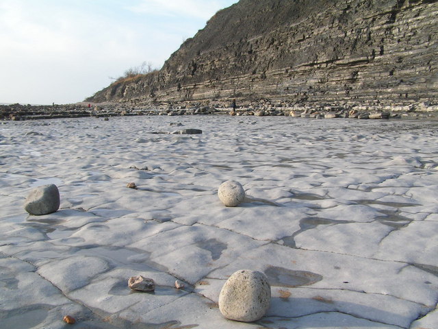
Monmouth Beach, Lyme - geograph.org.uk - 1988808.jpg - GeographBot

Steelwork, Monmouth Beach, Lyme - geograph.org.uk - 1988884.jpg - GeographBot

Cement works steelwork, westward view - geograph.org.uk - 1988890.jpg - GeographBot

Landslip at Haven Cliff - geograph.org.uk - 2009312.jpg - GeographBot

Chalk cliff - geograph.org.uk - 2009361.jpg - GeographBot

Seashore near Pinhay Bay - geograph.org.uk - 2009395.jpg - GeographBot