Wikimedi'Òc
Modes d'emploi

Cet album fait partie des albums
Cet album photos contient les sous-albums suivants :


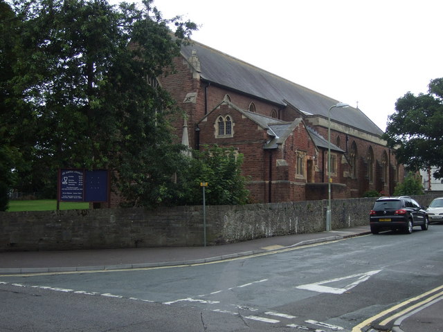
St Paul's Church, Abertysswg - geograph.org.uk - 955850.jpg - GeographBot

Arriva NWW Vario ALX100.JPG - Quackdave
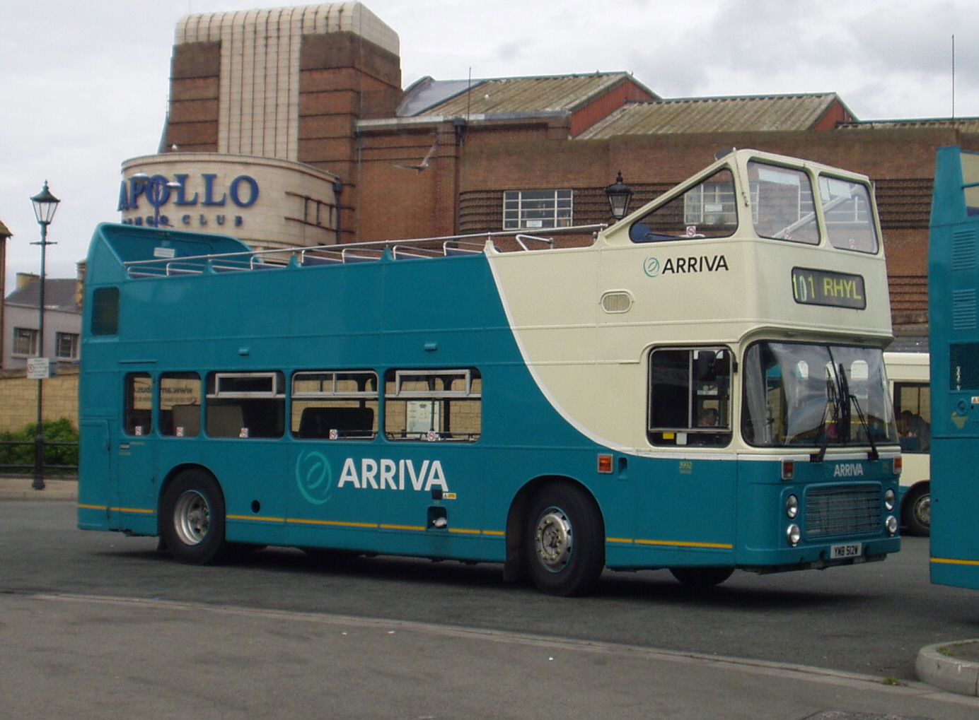
Arriva VR open top 1.jpg - Quackdave

43158 at Newport in rain.jpg - Ian13
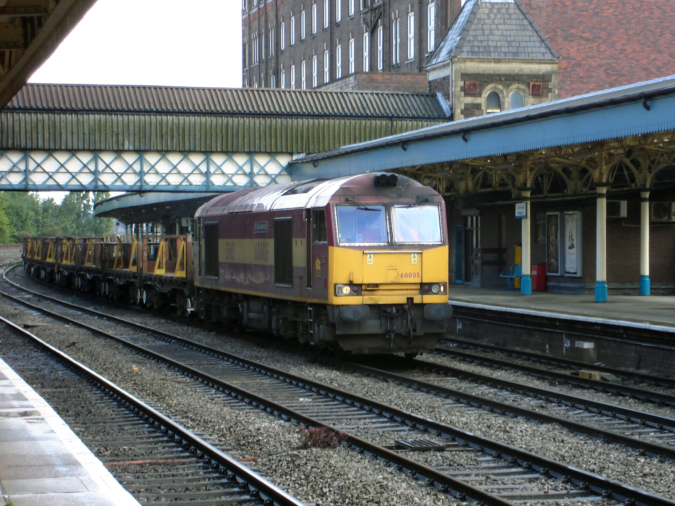
60005 at Newport.jpg - Ian13

66505 at Newport.jpg - Ian13

150121 at Newport.jpg - Ian13

158834 at Newport.jpg - Ian13

158952 at Newport.jpg - Ian13
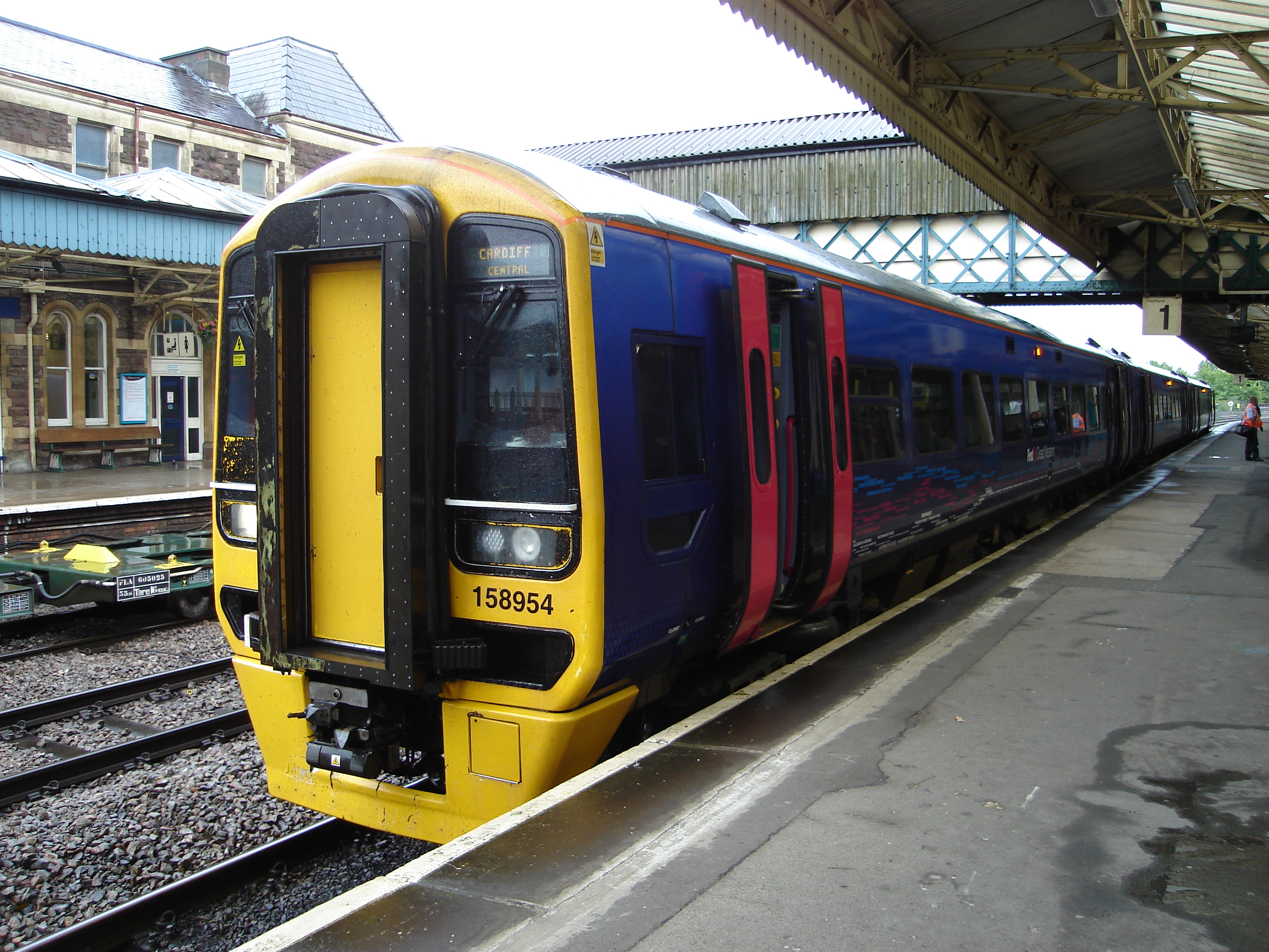
158954 at Newport.jpg - Ian13
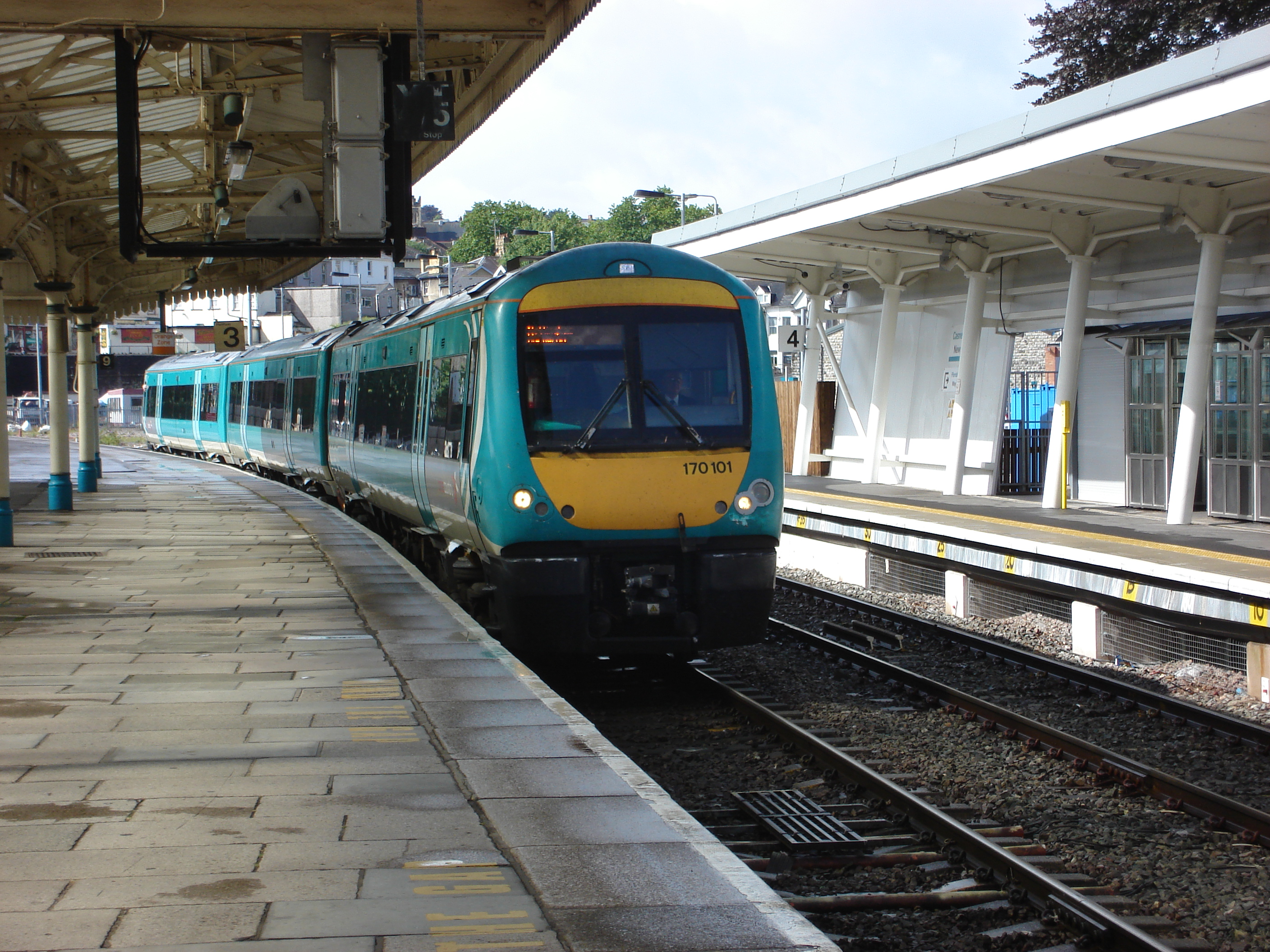
170101 at Newport.jpg - Ian13
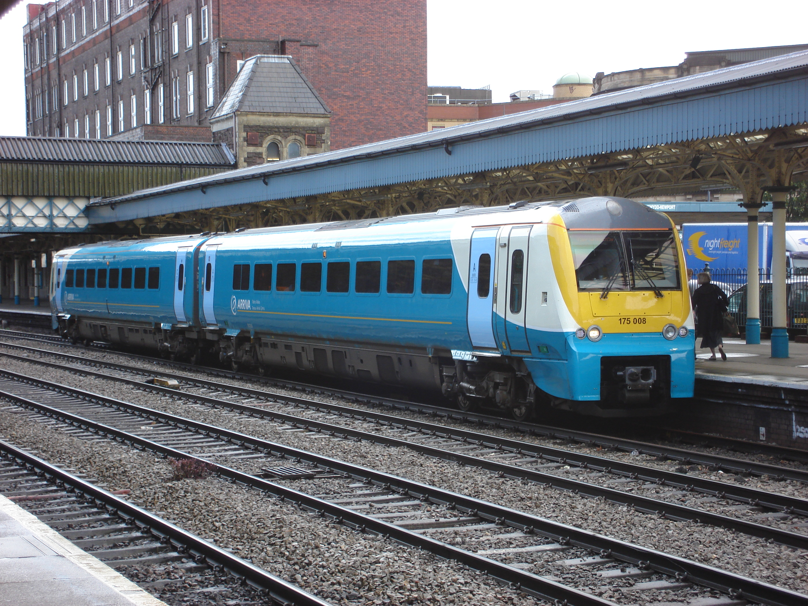
175008 at Newport.jpg - Ian13
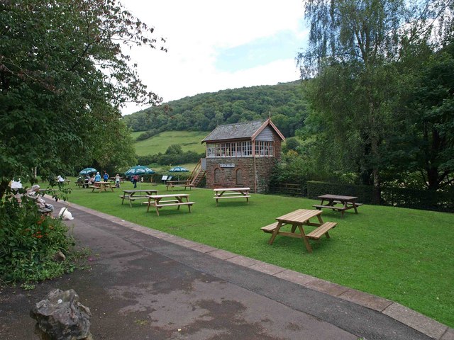
Tintern Station.jpg - Ghmyrtle

PCSO on duty at Newport.jpg - TimTay

ADL Enviro 200Dart MX07OZD, DK57SPZ, DK57SXF, DK57SXG DEPOT.JPG - BusNerd1

Tractor carcass - geograph.org.uk - 930563.jpg - File Upload Bot (Magnus Manske)

CaswellBay.JPG - File Upload Bot (Magnus Manske)

Gyffin Hillside - geograph.org.uk - 52188.jpg - GeographBot
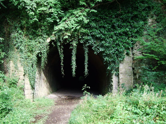
Usk railway tunnel.jpg - Welsh
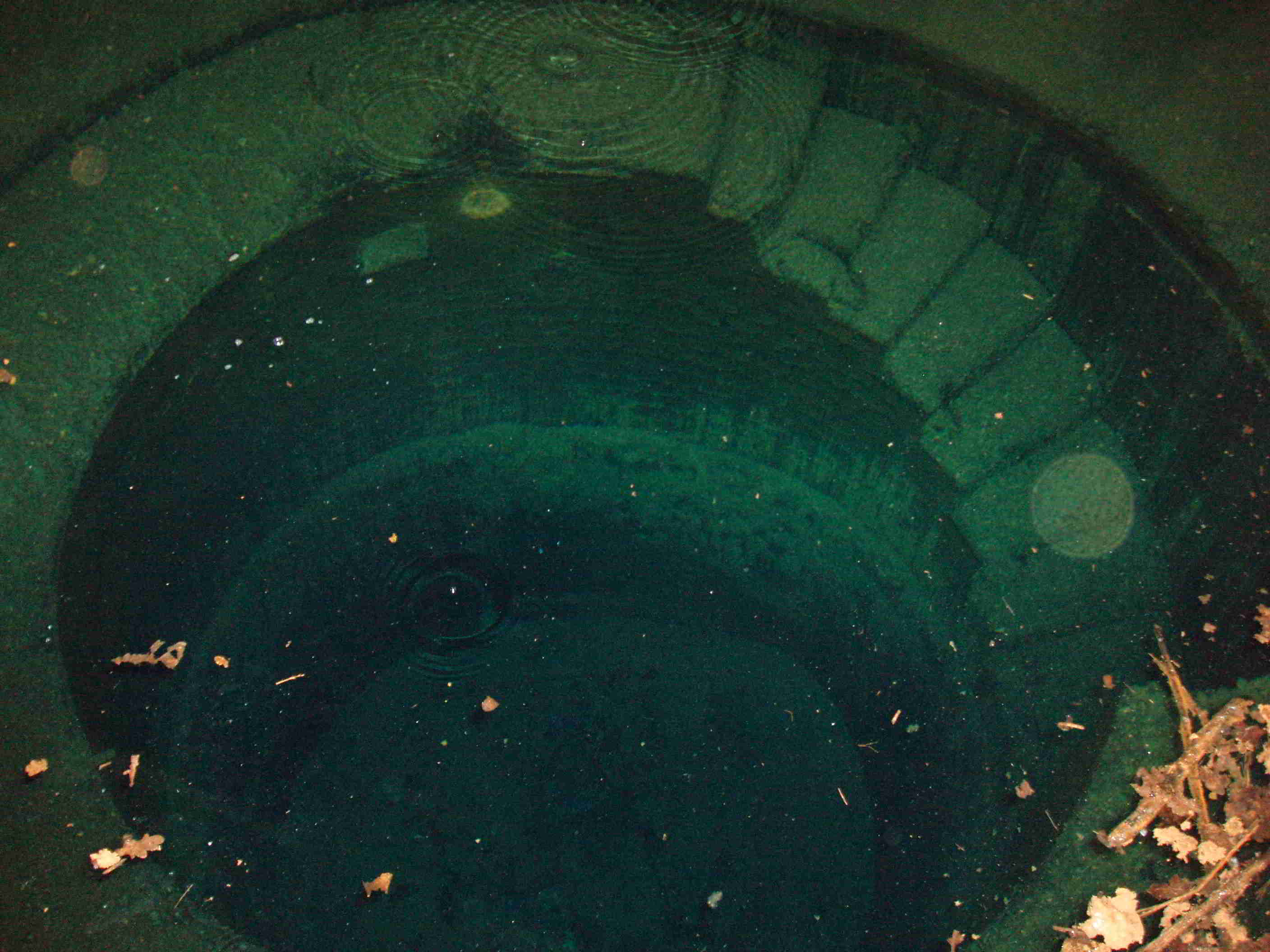
Taffs Well Thermal Spring view into well.jpg - GJFarr

High tide on the River Usk - geograph.org.uk - 906584.jpg - GeographBot

High tide on the River Usk - geograph.org.uk - 909208.jpg - GeographBot

Ranny Point at low tide - geograph.org.uk - 906360.jpg - GeographBot

Unlikely Survivor! - geograph.org.uk - 907150.jpg - GeographBot

Clocktower - geograph.org.uk - 914485.jpg - GeographBot

River Tawe - downstream - geograph.org.uk - 918763.jpg - GeographBot

River Tawe - upstream - geograph.org.uk - 918760.jpg - GeographBot

Ruined sheepfold on the Cefn Cul - geograph.org.uk - 918941.jpg - GeographBot

The River Wye from Lower Wyndcliffe picnic area - geograph.org.uk - 917962.jpg - GeographBot
All Saints Church, Porthcawl. - geograph.org.uk - 923226.jpg - GeographBot

Disused railway line St Hilary - geograph.org.uk - 921487.jpg - GeographBot

Govilon Wharf, re-lining work on the canal - geograph.org.uk - 927949.jpg - GeographBot

Low tide at Castle Pill - geograph.org.uk - 929189.jpg - GeographBot

Nant-y-Moch reservoir - geograph.org.uk - 924639.jpg - GeographBot

Nant-y-Moch reservoir from the Maesnant lane - geograph.org.uk - 924692.jpg - GeographBot
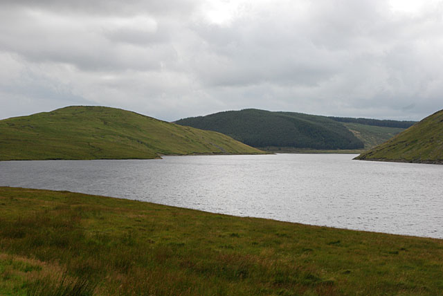
Nant-y-moch reservoir - geograph.org.uk - 926688.jpg - GeographBot

Public Footpath near Gellilydan - geograph.org.uk - 925317.jpg - GeographBot

Sea wall and mud flats - geograph.org.uk - 926405.jpg - GeographBot

View towards Gellilydan - geograph.org.uk - 925220.jpg - GeographBot

Afon Hepste - small gorge - geograph.org.uk - 930537.jpg - GeographBot

Afon Hepste - upstream - geograph.org.uk - 930552.jpg - GeographBot

Afon Hepste and Bryn-cul Bridge - geograph.org.uk - 930585.jpg - GeographBot

Bera Mawr from Cwm yr Afon Goch - geograph.org.uk - 934442.jpg - GeographBot

Breaking storm over Felindre Farchog - geograph.org.uk - 935974.jpg - GeographBot

Cattle, Hill Farm, Thornhill, Cardiff - geograph.org.uk - 938266.jpg - GeographBot

Cwm yr Afon Goch - geograph.org.uk - 934570.jpg - GeographBot

Drainage channel near Redwick - geograph.org.uk - 936918.jpg - GeographBot

Farm track and sheepfold - geograph.org.uk - 936786.jpg - GeographBot

Freshwater outfall - geograph.org.uk - 936903.jpg - GeographBot

Mining levels at Goginan - geograph.org.uk - 932748.jpg - GeographBot
Mud flats on a low tide - geograph.org.uk - 936868.jpg - GeographBot

Pipeline outfall - geograph.org.uk - 936847.jpg - GeographBot
Portland Grounds - geograph.org.uk - 936767.jpg - GeographBot

Reaching the sea - geograph.org.uk - 936900.jpg - GeographBot

Remains of sheepfold on Pen March - geograph.org.uk - 933098.jpg - GeographBot

Roundabout at Price Town - geograph.org.uk - 934095.jpg - GeographBot

Sheepfold above Nant Pitwellt - geograph.org.uk - 933101.jpg - GeographBot

Sheepfold at Odyn Fach - geograph.org.uk - 933133.jpg - GeographBot

The Cob Porthmadog - geograph.org.uk - 931905.jpg - GeographBot

The Cob Porthmadog - geograph.org.uk - 931912.jpg - GeographBot

The site of the Red Wharf Bay and Benllech Station alongside the A 5025 - geograph.org.uk - 930168.jpg - GeographBot

View across the Hepste gorge 1 - geograph.org.uk - 930592.jpg - GeographBot

Waterfall on Afon Goch - geograph.org.uk - 934428.jpg - GeographBot

Christadelphian Hall - geograph.org.uk - 944139.jpg - GeographBot

Glanffrwd, Penmynydd - geograph.org.uk - 944664.jpg - GeographBot

Hook Colliery Quay - geograph.org.uk - 944045.jpg - GeographBot

K4 with compass fishing nets - geograph.org.uk - 944041.jpg - GeographBot

Lake Vyrnwy Tower - geograph.org.uk - 945482.jpg - GeographBot

Pendinas viewed from Tanybwlch - geograph.org.uk - 943375.jpg - GeographBot

St Gredifael from the north-east - geograph.org.uk - 945099.jpg - GeographBot

Tenby's South Beach - geograph.org.uk - 944203.jpg - GeographBot

The Bryn Bella Friesian-Holstein herd being rounded for evening milking - geograph.org.uk - 940335.jpg - GeographBot

Weir on the Ogmore - geograph.org.uk - 944689.jpg - GeographBot

Former Royal Artillery range buildings on the Anglesey Motor Racing Circuit - geograph.org.uk - 1039083.jpg - GeographBot

The Anglesey Motor Racing Circuit on the site of the former RA Ty Croes - geograph.org.uk - 1039056.jpg - GeographBot

Approaching Llandanwg station - geograph.org.uk - 1063099.jpg - GeographBot

Caernarfon Castle - geograph.org.uk - 1103964.jpg - GeographBot

Trees in the cloud in Cwmsymlog - geograph.org.uk - 1105996.jpg - GeographBot

Rear view of Conwy Castle - geograph.org.uk - 1111779.jpg - GeographBot

Castell Conwy,the north range of towers - geograph.org.uk - 1129992.jpg - GeographBot

Cliffs north of Wallog - geograph.org.uk - 1128909.jpg - GeographBot

Approaching the Grand Hotel along Happy Valley Road - geograph.org.uk - 1171013.jpg - GeographBot

Buildings at the eastern end of Lloyd Street - geograph.org.uk - 1197559.jpg - GeographBot

Cliff above the Great Orme Point - geograph.org.uk - 1424397.jpg - GeographBot
Jezloweteg.jpg - Lesbardd

Ynys y Pandy Slate Mill - panoramio - Keith Ruffles (1).jpg - Panoramio upload bot

Ynys y Pandy Slate Mill - panoramio - Keith Ruffles (2).jpg - Panoramio upload bot
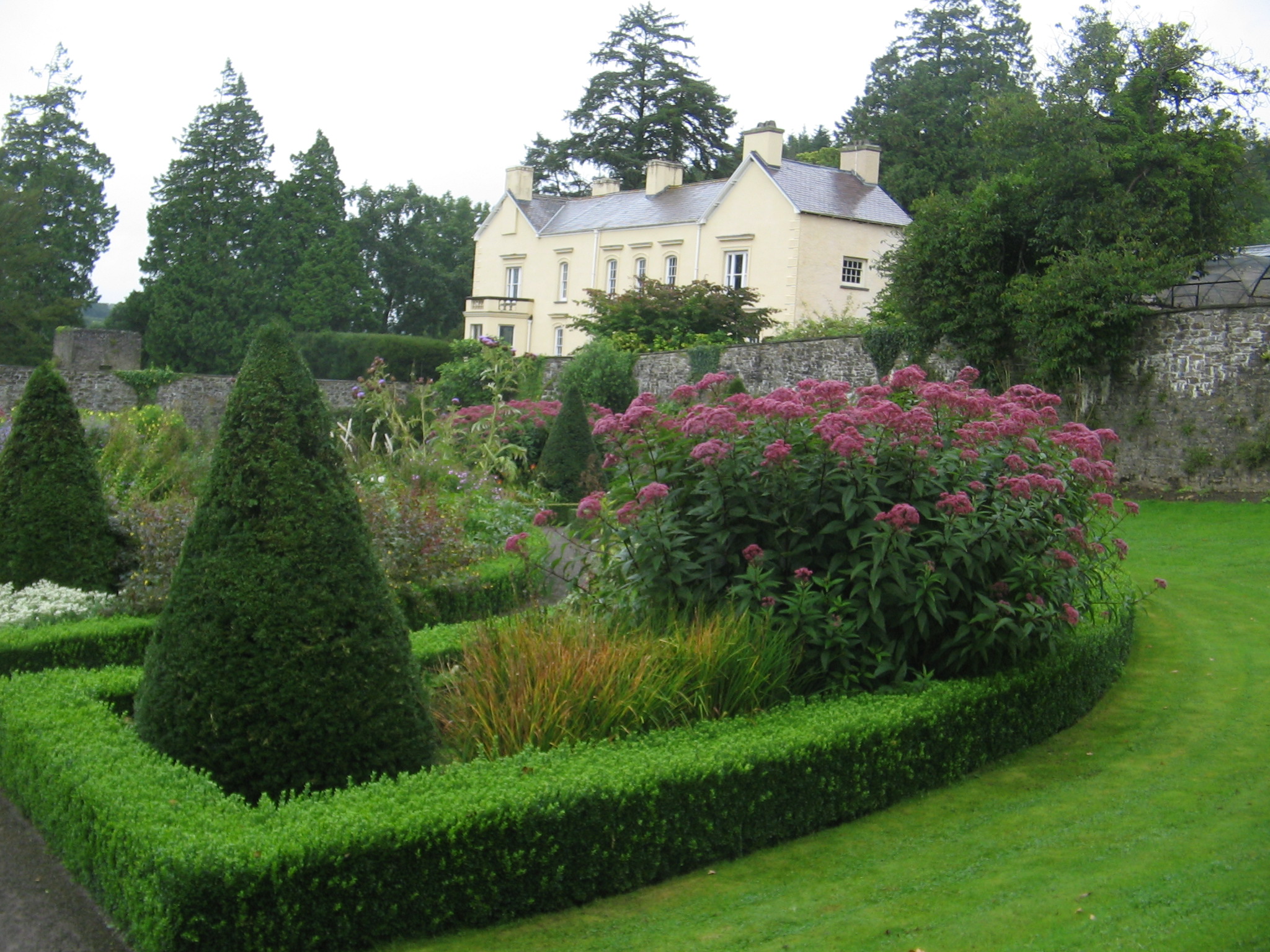
Aberglasney on a grey day - panoramio.jpg - Panoramio upload bot