Wikimedi'Òc
Modes d'emploi

Cet album fait partie des albums


Whatstandwell station.jpg - Chevin
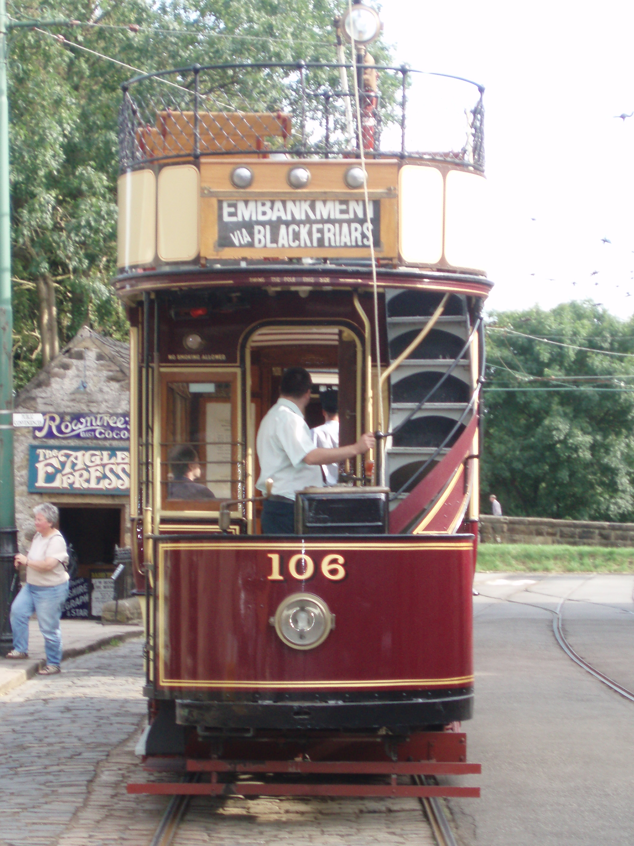
London 106 at CTE.JPG - File Upload Bot (Magnus Manske)

Armstrong's Mill, Ilkeston Junction - geograph.org.uk - 518371.jpg - GeographBot

Catty Pond was here - 40 Years Ago^ - geograph.org.uk - 518501.jpg - GeographBot

A Footpath in Heatherdene Wood - geograph.org.uk - 527487.jpg - GeographBot

Holmewood - Approaching Heath Road Roundabout - geograph.org.uk - 523208.jpg - GeographBot
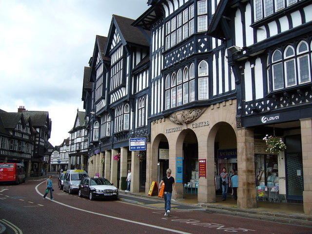
Knifesmithgate, Chesterfield - geograph.org.uk - 524584.jpg - GeographBot

Leeside Road - geograph.org.uk - 528194.jpg - GeographBot

Bridge and Bandstand - geograph.org.uk - 536689.jpg - GeographBot

Charles Hill Playing Fields - geograph.org.uk - 534304.jpg - GeographBot

Curbar Gap - Start of Footpath to Baslow Edge - geograph.org.uk - 534243.jpg - GeographBot

Curbar Gap - Start of Footpath to Curbar Edge - geograph.org.uk - 534249.jpg - GeographBot

Danesmoor - St Barnabas Centre - geograph.org.uk - 537161.jpg - GeographBot

Footbridge over River Amber - geograph.org.uk - 539644.jpg - GeographBot

Footbridge over rail line - geograph.org.uk - 533929.jpg - GeographBot

Industrial equipment next to old railway - geograph.org.uk - 533932.jpg - GeographBot

Jolly Colliers pub - geograph.org.uk - 534385.jpg - GeographBot

Leash Fen and Fox Lane - geograph.org.uk - 531105.jpg - GeographBot

Malt Shovel - Shardlow - geograph.org.uk - 539849.jpg - GeographBot

Ramsley Reservoir - geograph.org.uk - 531120.jpg - GeographBot

Ramsley Reservoir Entrance - geograph.org.uk - 531100.jpg - GeographBot

South Wingfield - All Saints Parish Church - geograph.org.uk - 539444.jpg - GeographBot

South Wingfield - All Saints Parish Church Lych Gate Entrance - geograph.org.uk - 539633.jpg - GeographBot

South Wingfield - B5035 Holm Lane - geograph.org.uk - 539464.jpg - GeographBot

South Wingfield - Sports Fields - geograph.org.uk - 539652.jpg - GeographBot

Swarkestone Nurseries - geograph.org.uk - 531760.jpg - GeographBot

Waingroves Methodist Church - geograph.org.uk - 534395.jpg - GeographBot

Market Inn, Ilkeston - geograph.org.uk - 540742.jpg - GeographBot

The Commercial and Little Acorn, Ilkeston - geograph.org.uk - 540751.jpg - GeographBot

The ruins of Ramsley Lodge - geograph.org.uk - 547613.jpg - GeographBot

Lock Keeper's cottage - Shardlow - geograph.org.uk - 551498.jpg - GeographBot

The Old Salt Warehouse - Shardlow - geograph.org.uk - 551503.jpg - GeographBot

The track south-west from Barbrook Reservoir - geograph.org.uk - 558771.jpg - GeographBot

Traffic Jam near Great Wilne - geograph.org.uk - 551493.jpg - GeographBot

Trent and Mersey Canal at Sharlow - geograph.org.uk - 553390.jpg - GeographBot

Victorian Pillar Box, Buxton, Derbyshire - geograph.org.uk - 551226.jpg - GeographBot

Hillside Housing, Goyt Valley, New Mills, Derbyshire - geograph.org.uk - 572422.jpg - GeographBot

Former salt warehouse - Shardlow - geograph.org.uk - 598771.jpg - GeographBot

Brailsford, Derbyshire - geograph.org.uk - 1659904.jpg - GeographBot

Houses in Brailsford, Derbyshire - geograph.org.uk - 1659899.jpg - GeographBot

Rose and Crown, Brailsford, Derbyshire - geograph.org.uk - 1659894.jpg - GeographBot

Saint Marys nursing home, Ednaston, Derbyshire - geograph.org.uk - 1659911.jpg - GeographBot
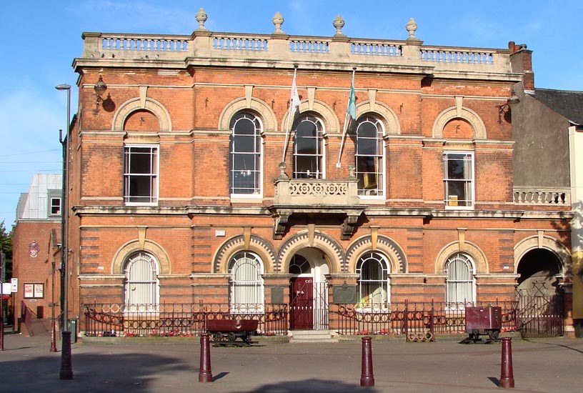
Town Hall Ilkeston.jpg - Ilsonbloke

G-CBLO (6121376106) (2).jpg - File Upload Bot (Magnus Manske)

67029 on 1Z61 Leeds-Bath Spa (2791989191).jpg - Ultra7

20311 & 20315 work 1Z20 Barrow Hill-Skegness (2791975483).jpg - Ultra7

20311 & 20315 on 5Z20 Crewe-Barrow Hill (2791974997).jpg - Ultra7