Wikimedi'Òc
Modes d'emploi

Cet album fait partie des albums
Cet album photos contient les sous-albums suivants :


From Hurtle Hill - geograph.org.uk - 76921.jpg - GeographBot

Foxhall Farm - geograph.org.uk - 111758.jpg - GeographBot

Pound Farm, Astley - geograph.org.uk - 111745.jpg - GeographBot

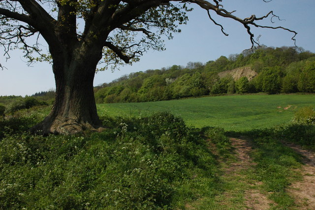
Road approaching Burf Cottages, The Burf - geograph.org.uk - 111546.jpg - GeographBot

Dick Brook at Joan's Hole - geograph.org.uk - 284928.jpg - GeographBot

Joan's Hole - geograph.org.uk - 284913.jpg - GeographBot

Worcestershire Way - geograph.org.uk - 284904.jpg - GeographBot
Farmland at Shavers End - geograph.org.uk - 416110.jpg - GeographBot

Field patterns at Astley - geograph.org.uk - 416127.jpg - GeographBot

Footpath to Dunley - geograph.org.uk - 416119.jpg - GeographBot

Jennings Wood Lane - geograph.org.uk - 418518.jpg - GeographBot

Pylons and power cables near Dunley - geograph.org.uk - 421683.jpg - GeographBot

B Road To Stourport - geograph.org.uk - 1400729.jpg - GeographBot

Bewdley This Way - geograph.org.uk - 1400724.jpg - GeographBot

Bridleway To Astley Hall - geograph.org.uk - 1400517.jpg - GeographBot

Cock's Comb Skyline - geograph.org.uk - 1400727.jpg - GeographBot

Crops Near Yarhampton - geograph.org.uk - 1400502.jpg - GeographBot

Crops On Abberley Hill - geograph.org.uk - 1400495.jpg - GeographBot

Entrance To Astley Primary School - geograph.org.uk - 1400527.jpg - GeographBot

Field Near Oakhampton - geograph.org.uk - 1400736.jpg - GeographBot

Fieldscape Near Astley Cross - geograph.org.uk - 1400717.jpg - GeographBot

Footpath South - geograph.org.uk - 1400735.jpg - GeographBot

Lane To Astley - geograph.org.uk - 1400506.jpg - GeographBot

A crossroads on the B4196 road, near Astley, Worcs - geograph.org.uk - 3852025.jpg - GeographBot

B4196 road near Astley, Worcs - geograph.org.uk - 3852043.jpg - GeographBot

Access road to the church etc., Astley, Worcs - geograph.org.uk - 3855968.jpg - GeographBot

The Dick Brook, Astley, Worcs - geograph.org.uk - 3872306.jpg - GeographBot

The road to Yarhampton at Astley, Worcs - geograph.org.uk - 3877661.jpg - GeographBot