×

Megalith Calluragh.jpg - Bogman

Wedge tomb Luogh.jpg - Bogman

Carn connachtan.jpg - Bogman

Teergonean court cairn.jpg - Bogman

Cathair Dhuin Irghuis, a "stone-age fort" perched above Black Head, The Burren. - geograph.org.uk - 65161.jpg - GeographBot

Cathair Dhuin Irghuis, a view from the northern side. - geograph.org.uk - 65162.jpg - GeographBot

Cathair Mhic Neachtain, north of Noughaval - geograph.org.uk - 65563.jpg - GeographBot

Cathair Chomain Trivallate Fort - Tullycommon Townland - geograph.org.uk - 829851.jpg - GeographBot

Cathair Chlogain - geograph.org.uk - 832985.jpg - GeographBot

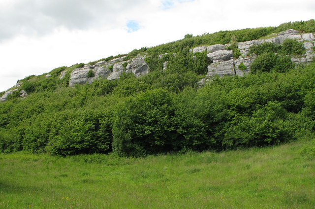
Bluffs immediately southwest of Cahercommaun Cliff fort - geograph.org.uk - 853983.jpg - GeographBot

Rocky meadow in the Burren north of the Leaba Wedge Tomb - geograph.org.uk - 853981.jpg - GeographBot

Approach to the Leaba wedge tomb - geograph.org.uk - 951133.jpg - GeographBot

Interior of the thickest wall of Cathair Chomain - geograph.org.uk - 950399.jpg - GeographBot

Tau Cross, Roughan Hill, Corofin, County Clare, Ireland.jpg - The Banner

Burren caherconnelfort interior.jpg - Jlahorn~commonswiki

Cathair Dhúin Irghuis - geograph.org.uk - 1992926.jpg - Knochen

Caherdooneerish Ring Fort - geograph.org.uk - 2091902.jpg - Geograph Update Bot

Cahermacnaughten - geograph.org.uk - 3567335.jpg - Knochen

Cahercommaun close up.jpg - Drow69

Cahercommaun distant view.jpg - Drow69

Cahercommaun info sign.jpg - Drow69

Burren - near Green Road - Wedge Tomb - panoramio.jpg - Panoramio upload bot

Cashlaungar from the southwest.jpg - Drow69

Cashlaungar from the east.jpg - Drow69

Magh Adhair, Toonagh, Co Clare (geograph 1954103).jpg - LittleT889

Brian's rath at Killaloe, 1905.jpg - Ardfern
❮
❯


