Wikimedi'Òc
Modes d'emploi

Cet album fait partie des albums


A849 looking towards Ardachoil - geograph.org.uk - 1804729.jpg - GeographBot

Appin Station - geograph.org.uk - 1801579.jpg - GeographBot

Break in the forest for Electricity pylons - geograph.org.uk - 1804594.jpg - GeographBot

Bridge over Inveruglas Water - geograph.org.uk - 1803825.jpg - GeographBot

Burn on south slopes of Ben More - geograph.org.uk - 1801731.jpg - GeographBot
Clear of the trees on the Cobbler-Narnain path - geograph.org.uk - 1805631.jpg - GeographBot

Cliffs and Caves at Rubha na Faoilinn - geograph.org.uk - 1806524.jpg - GeographBot

Coastal fence and Castle Stalker - geograph.org.uk - 1801619.jpg - GeographBot

Coiregrogan - geograph.org.uk - 1803806.jpg - GeographBot

Crags and broken ground on the Narnain SE ridge - geograph.org.uk - 1805603.jpg - GeographBot

Crags near the summit of Ben Narnain - geograph.org.uk - 1805053.jpg - GeographBot

Crags on the SE ridge of Ben Narnain - geograph.org.uk - 1805592.jpg - GeographBot

Croggan from Loch Spelve - geograph.org.uk - 1806415.jpg - GeographBot

Croggan from Loch Spelve - geograph.org.uk - 1806421.jpg - GeographBot

Descending Narnain's southern corrie - geograph.org.uk - 1805616.jpg - GeographBot

Descending Narnain's southern corrie - geograph.org.uk - 1805621.jpg - GeographBot

Entrance to Loch Spelve from Loch Spelve - geograph.org.uk - 1806408.jpg - GeographBot

Entrance to Loch Spelve from the Firth of Lorn - geograph.org.uk - 1806508.jpg - GeographBot

Entrance to Loch Spelve looking towards Port na Saille - geograph.org.uk - 1806459.jpg - GeographBot

Farmhouse at Ardachoil - geograph.org.uk - 1804682.jpg - GeographBot

Field of sheep by shore - geograph.org.uk - 1801722.jpg - GeographBot

Firebreak and Fenceline in the forest - geograph.org.uk - 1804635.jpg - GeographBot

Firebreak and fenceline in the forest - geograph.org.uk - 1804600.jpg - GeographBot

Firebreak in the forest - geograph.org.uk - 1804684.jpg - GeographBot

Footpath from Loch Spelve to Ardura - geograph.org.uk - 1803739.jpg - GeographBot

Footpath to Loch Spelve - geograph.org.uk - 1803744.jpg - GeographBot

Forest edge from the moorland - geograph.org.uk - 1804603.jpg - GeographBot

Harbour Inn - geograph.org.uk - 1804799.jpg - GeographBot

Islay Livestock Auction Market - geograph.org.uk - 1804734.jpg - GeographBot

Loch Spelve, looking South towards Croggan - geograph.org.uk - 1806376.jpg - GeographBot

Loch Spelve looking North East - geograph.org.uk - 1806318.jpg - GeographBot

Loch Spelve looking North West - geograph.org.uk - 1806329.jpg - GeographBot

Loch Spelve looking South West - geograph.org.uk - 1806360.jpg - GeographBot

Loch Spelve looking West - geograph.org.uk - 1806344.jpg - GeographBot

Loch na Beinne, Islay - geograph.org.uk - 1804126.jpg - GeographBot

Lochdonhead Primary School, Isle of Mull - geograph.org.uk - 1803160.jpg - GeographBot

Looking across Dubh Loch to the boatshed - geograph.org.uk - 1804708.jpg - GeographBot

Looking down the Cobbler-Narnain path - geograph.org.uk - 1805022.jpg - GeographBot

Lussa River, looking towards Loch Spelve - geograph.org.uk - 1804739.jpg - GeographBot

Narnain's NW ridge descends to the Bealach a'Mhaim - geograph.org.uk - 1805008.jpg - GeographBot

Northern end of Dubh Loch - geograph.org.uk - 1804698.jpg - GeographBot
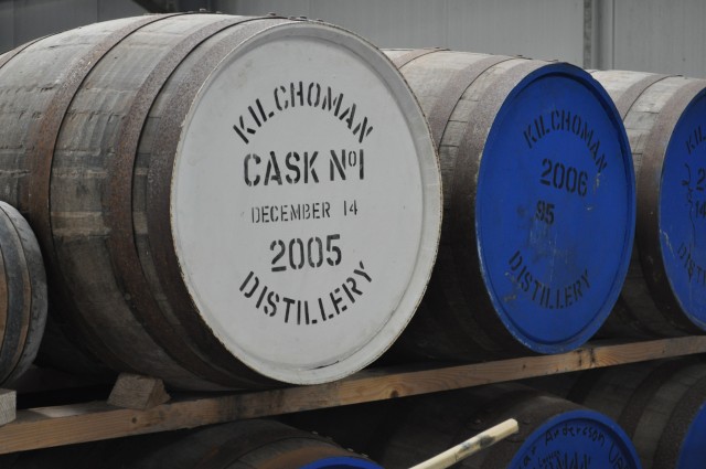
Quiet Spirits - geograph.org.uk - 1804871.jpg - GeographBot

Remains of a fence on the slopes above Glen Creran - geograph.org.uk - 1801508.jpg - GeographBot

Road looking towards Strathcoil from Ardura - geograph.org.uk - 1803755.jpg - GeographBot

Road near Loch Spelve mussel farm - geograph.org.uk - 1804687.jpg - GeographBot

Road to Ardura from Stratcoil - geograph.org.uk - 1804672.jpg - GeographBot

The Cobbler-Narnain path - geograph.org.uk - 1804933.jpg - GeographBot

The Cobbler-Narnain path and Loch Long - geograph.org.uk - 1804941.jpg - GeographBot

The head of Loch Long - geograph.org.uk - 1804814.jpg - GeographBot

Track between Loch Spelve and Ardura - geograph.org.uk - 1804746.jpg - GeographBot

Track between Loch Spelve and Ardura - geograph.org.uk - 1804755.jpg - GeographBot

Track between Loch Spelve and Ardura - geograph.org.uk - 1804764.jpg - GeographBot

View of shore line of Loch Spelve near Inverlussa - geograph.org.uk - 1804779.jpg - GeographBot

View of shoreline near Gorsten - geograph.org.uk - 1806543.jpg - GeographBot

View of track to Gualachaolish, from A849 - geograph.org.uk - 1804703.jpg - GeographBot

View over Loch Spelve from the footpath to Ardura - geograph.org.uk - 1803725.jpg - GeographBot

View over Northern shore of Loch Don - geograph.org.uk - 1803536.jpg - GeographBot

View over Sailean nan Each, Loch Spelve - geograph.org.uk - 1804693.jpg - GeographBot

View to Glen Ure - geograph.org.uk - 1801489.jpg - GeographBot

View towards Port nan Crullach and Portfield from the approach to Loch Spelve - geograph.org.uk - 1806519.jpg - GeographBot
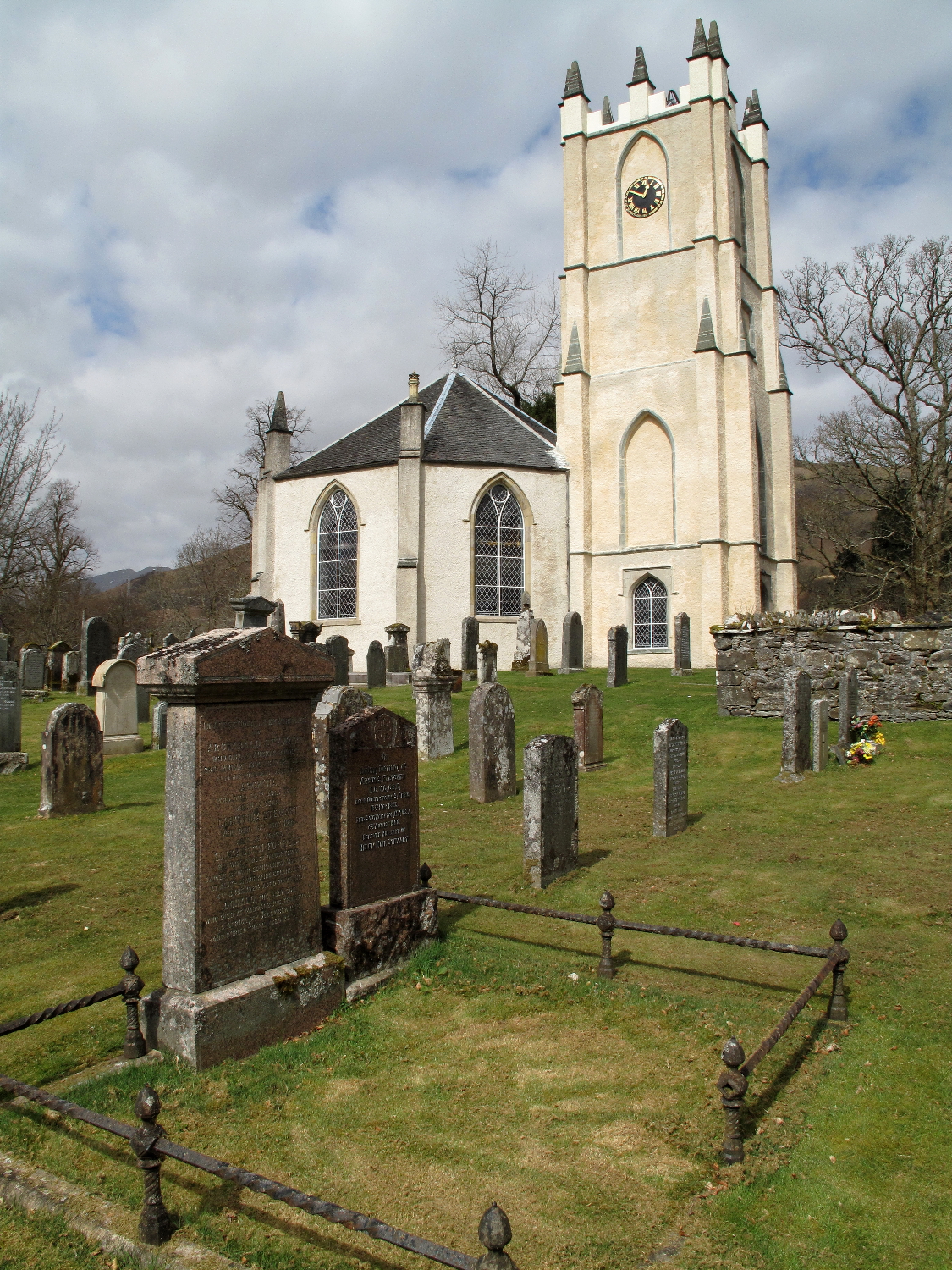
Glenorchy church and graveyard.jpg - Geograph Update Bot

Coffee House, Inveraray - geograph.org.uk - 1810219.jpg - GeographBot

Reservoir outflow - geograph.org.uk - 1849825.jpg - GeographBot