Wikimedi'Òc
Modes d'emploi

Cet album fait partie des albums
Cet album photos contient les sous-albums suivants :


The story map of flying (35048880341).jpg - Fæ

Boeing 737 MAX groundings(12-03-19).png - Dr. Fist
Air transport, freight (ton-km), OWID.svg - Fæ

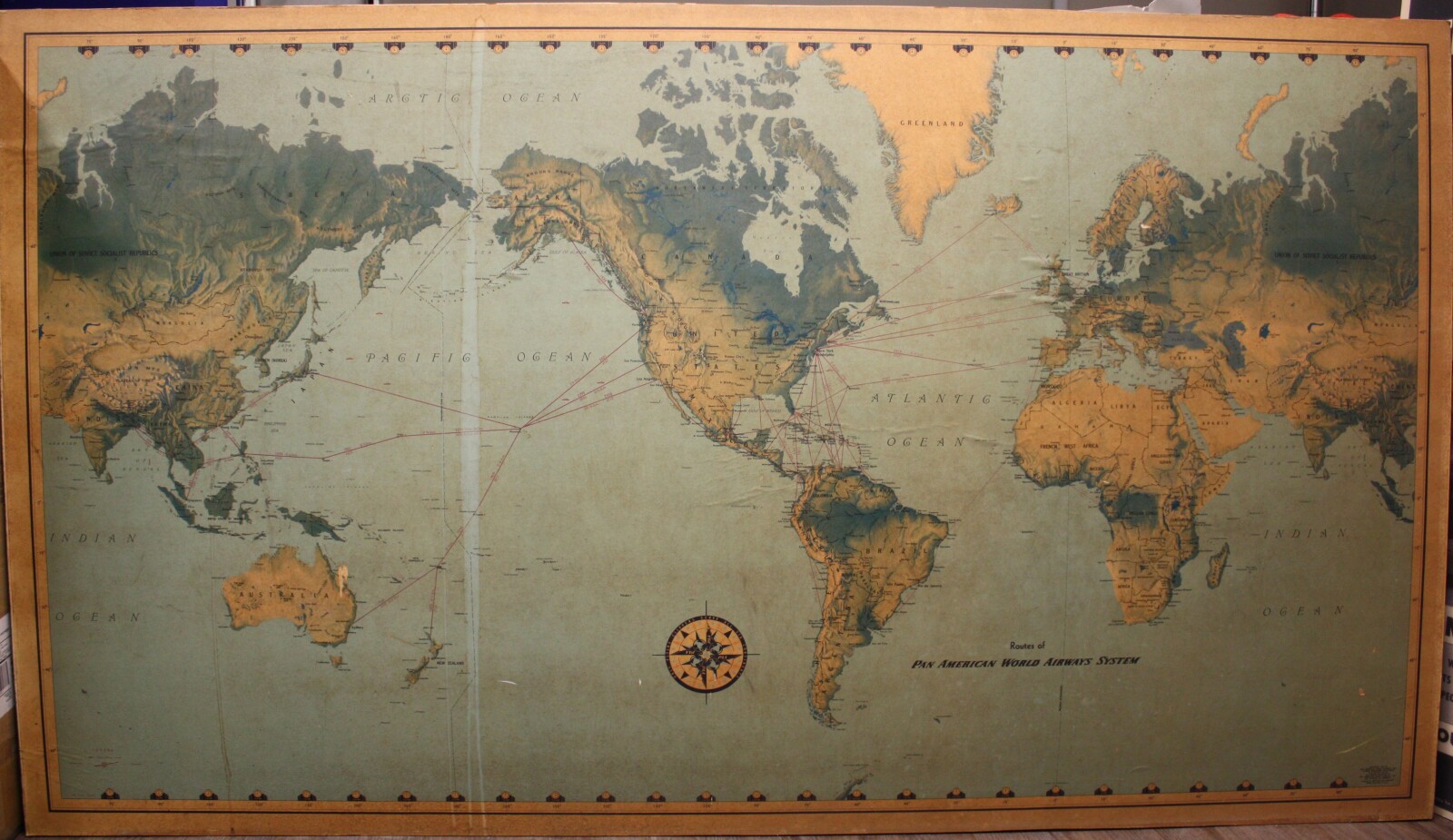
1939 map of the world - Air Routes Around The World.jpg - Balkanique

1943 map of showing the Air Routes Around The World.jpg - Balkanique
The story map of flying - being a chronicle of man's conquest of the air.tif - Balkanique
Air-transport-freight-ton-km.png - Florin Talasman
Air Transport Rights Accorded the United Kingdom by France - DPLA - 9fbae36b7351670082bd1e27f49f44d8.jpg - DPLA bot

Direct versus non-stop flight illustration.gif - DigitalExpat

Longest domestic flights as of Dec 2021.gif - DigitalExpat

Map of 25 Longest domestic flights as of 01 Jan 2022.gif - DigitalExpat

Carte synoptique de l'hémisphère nord - Lignes aériennes mondiale 1944 de l'hemisphère nord (en service au 1er mars 1944) - Service hydrographique de la marine - btv1b53153551g.jpg - Don-vip
8188a-3 SDASM Curatorial Image.jpg - Box8087

Airmap.svg - Powerkeys