Wikimedi'Òc
Modes d'emploi

Cet album fait partie des albums
Cet album photos contient les sous-albums suivants :


Ashfield Road, Aigburth - geograph.org.uk - 1215630.jpg - GeographBot

South Sudley Road - geograph.org.uk - 1531129.jpg - GeographBot

Gulls, Riverside Drive, Liverpool.jpg - Rept0n1x

St Charles Parochial Club, Aigburth Road, Liverpool.jpg - Rept0n1x

St Margaret's C of E High School, Aigburth.JPG - Rept0n1x

Former stables, Woodlands Road, Liverpool.jpg - Rodhullandemu

Bryanston Road, Liverpool.JPG - Rept0n1x

House on North Sudley Road, Aigburth.JPG - Rept0n1x

Delfield Cottage, Aigburth (2).JPG - Rept0n1x

Delfield Cottage, Aigburth (1).JPG - Rept0n1x

Tulip House, Aigburth (1).JPG - Rodhullandemu

The Coach House gates, Aigburth (1).JPG - Rept0n1x

The Coach House gates, Aigburth (2).JPG - Rept0n1x

Sudley Allotments, Liverpool.JPG - Rept0n1x

Lyttelton Road, Aigburth.JPG - Rept0n1x

Disused building on Ashfield Road, Aigburth.JPG - Rept0n1x

Ash Surgery, Aigburth (3).JPG - Rept0n1x

The Bread Shop Bakery, Aigburth Road, Liverpool (2).JPG - Rotatebot

The Bread Shop Bakery, Aigburth Road, Liverpool (1).JPG - Rept0n1x

Houses on Sefton Grove, Liverpool L17.jpg - Rept0n1x

Corner of Elmswood Road and Woodlands Road, Liverpool L17.jpg - Rept0n1x

Sandringham Drive, Liverpool 17.jpg - Rodhullandemu

Liverpool RJD 42 - Garston and Liverpool.png - Andy Dingley
Empty house on Normanton Avenue.jpg - Rodhullandemu

The Lodge, Mersey Road.jpg - Rodhullandemu

May Cottage, Mersey Road.jpg - Rodhullandemu

Former HSBC bank, Mersey Road.jpg - Rodhullandemu

MPSA clubhouse, Riversdale Road.jpg - Rodhullandemu

Pumping station on Jericho Lane.jpg - Rodhullandemu

Otterspool plaque, Jericho Lane.jpg - Rodhullandemu

Mail box, Aigburth.jpg - Rodhullandemu

GPO cable marker, Aigburth.jpg - Rodhullandemu

Aigburth sign, Victoria Road.jpg - Rodhullandemu

Former Westminster Bank, Ashfield Road.jpg - Rodhullandemu

Ancaster Road substation.jpg - Rodhullandemu

Annesley Road substation.jpg - Rodhullandemu

Bempton Road roundabout.jpg - Rodhullandemu

Neilson Lodge, Tramway Road.jpg - Rodhullandemu

St Charles Primary School, Aigburth.jpg - Rodhullandemu

Tramway Road, Aigburth.jpg - Rodhullandemu

Substation, Woodlands Road.jpg - Rodhullandemu

The Mount, Woodlands Road.jpg - Rodhullandemu

Elmswood Road Post Office.jpg - Rodhullandemu

Substation, Livingston Drive South.jpg - Rodhullandemu

Substation, Livingston Drive.jpg - Rodhullandemu

Post box, Livingston Drive North.jpg - Rodhullandemu

Post box, Linnet Lane.jpg - Rodhullandemu

Substation, Little Parkfield Road.jpg - Rodhullandemu

L17 LDO, Little Parkfield Road.jpg - Rodhullandemu

North West RFCA, Alexandra Drive.jpg - Rodhullandemu

Benchmark at 411 Aigburth Road.jpg - Rodhullandemu

Benchmark at 318 Aigburth Road.jpg - Rodhullandemu

Liver bird, Jericho Lane.jpg - Rodhullandemu

Dingle station train fire.jpg - Liverpoolpics

South Liverpool F.C..jpg - Liverpoolpics

Boundary stone on Victoria Road, Aigburth.jpg - Rodhullandemu

Ghost sign, Sandhurst Street L17.jpg - Rodhullandemu

St Michael-in-the-Hamlet Community Primary School.jpg - Frombowen

RFCA for the North West of England and the Isle of Man.jpg - Frombowen

Belvedere Preparatory School.jpg - Frombowen

363 And 365, Park Road.jpg - Frombowen

Five way junction at Aigburth Vale - geograph.org.uk - 2167865.jpg - GeographBot
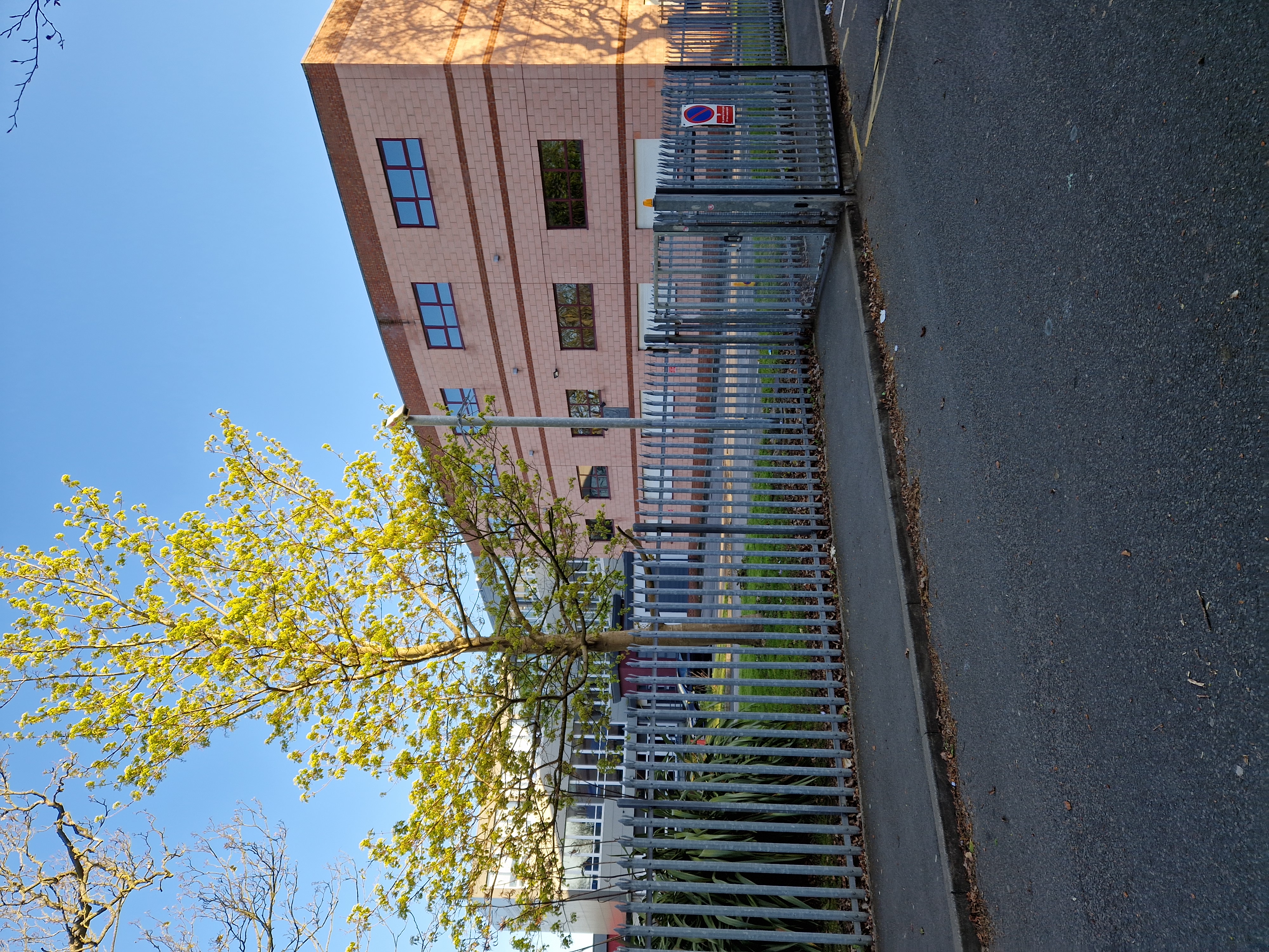
St Margaret's Church of England Academy.jpg - Frombowen

Liverpool Feds Ladies Football Club.jpg - Frombowen

House on Kelton Grove, Liverpool.jpg - Frombowen

Former Brethren Meeting Room (now Miller House), Mersey Road, Aigburth, Liverpool (April 2024).jpg - Hassocks5489

Former Psychic Truth Society Spiritualist Church, Aigburth Road–Parkfield Road, Sefton Park, Liverpool (April 2024).jpg - Hassocks5489

Sandringham Medical Centre.jpg - Frombowen

St Silas Church of England Primary School.jpg - Frombowen