Wikimedi'Òc
Modes d'emploi

Cet album fait partie des albums


Banja Dam.jpg - Albinfo

Buna aerial whole length (WPWTR16).JPG - Albinfo

352d Special Operations Wing enhances readiness through mountainous terrain flight over Albania (6224953).jpg - OptimusPrimeBot

352d Special Operations Wing enhances readiness through mountainous terrain flight over Albania (6224955).jpg - OptimusPrimeBot

Buna and Shkodra (WPWTR16).JPG - Albinfo

Buna and Lake from Shkodra Castle.jpg - DGA05

Buna delta (WPWTR16).JPG - Albinfo

Buna river near road and castle.jpg - DGA05

Buna River Near Shkodër.jpg - DGA05

Buna River Near Shkodra Castle.jpg - DGA05
Buna-muendung.jpg - Albinfo

Buna's Freshwater Estuary.jpg - DGA05

Gramsh from the air.jpg - Albinfo

Gates in Buna River Near Shkodra Castle.jpg - DGA05

Freshwater Estuary in Buna.jpg - DGA05

Island Ada (WPWTR16).JPG - Albinfo

Koman area from the air.jpg - Albinfo

ISS030-E-109526 - View of Albania.jpg - Askeuhd

ISS030-E-109524 - View of Albania.jpg - Askeuhd
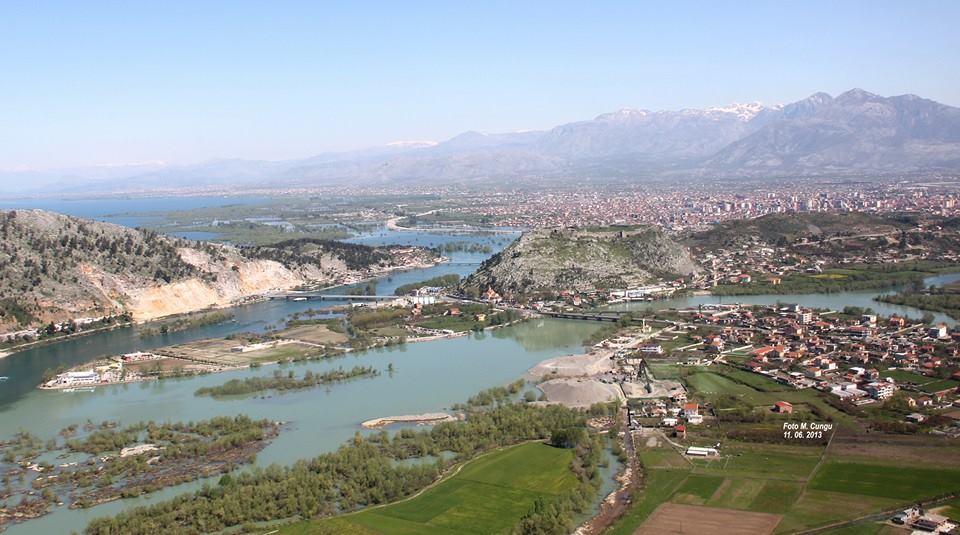
Kalaja Rozafa Shkoder Albania, Photo Maxhid Cungu2.jpg - Maxhid Cungu

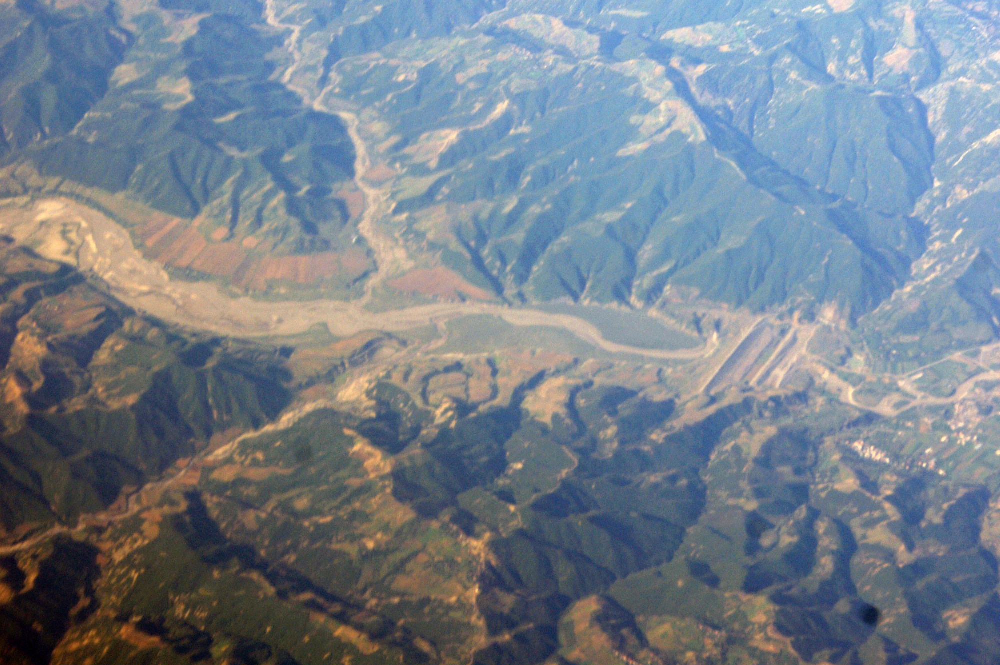
Mat canyon (WPWTR16).JPG - Albinfo
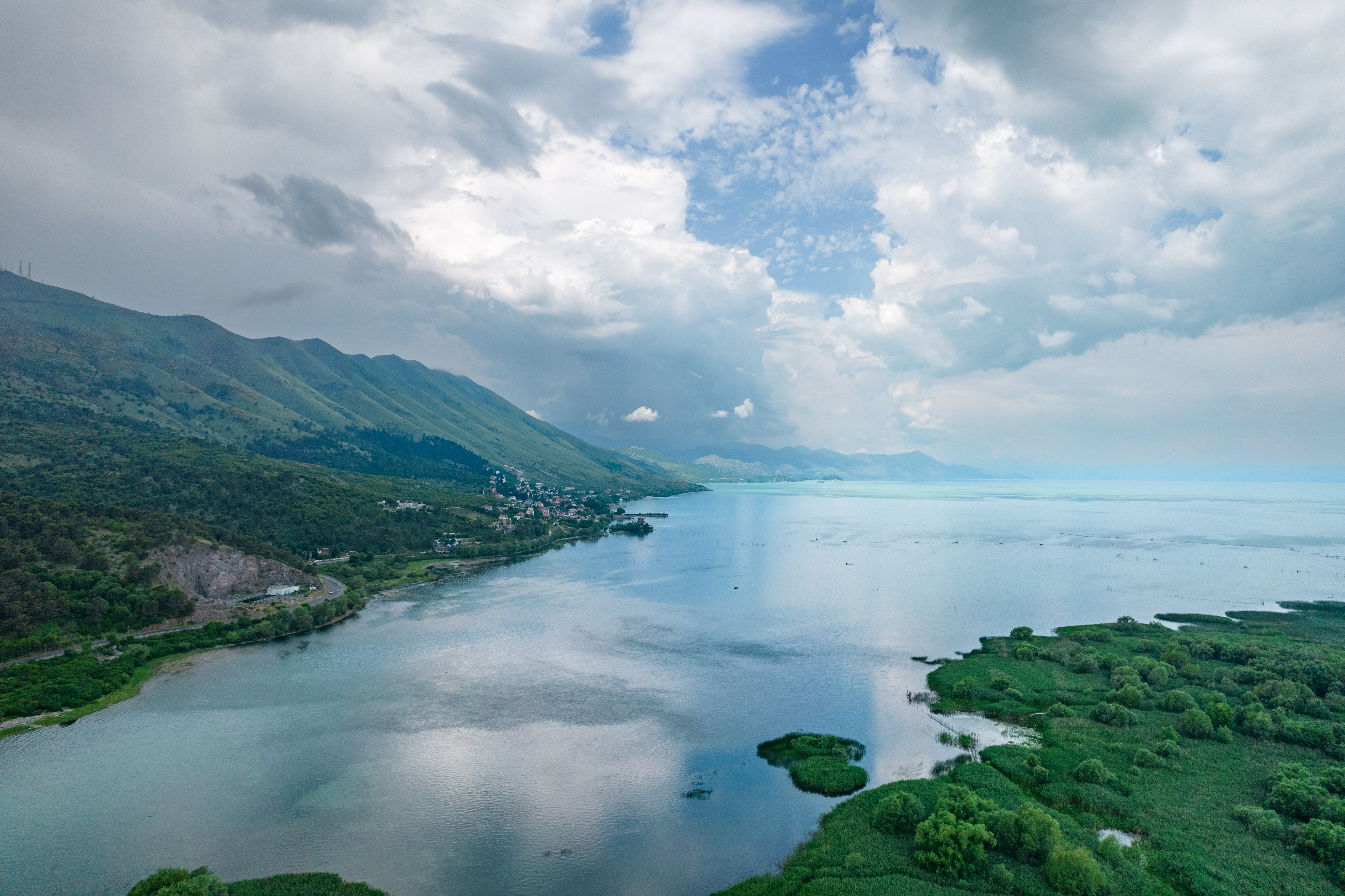
Lake Shkodra 2.jpg - DGA05

Mat canyon 2 (WPWTR16).JPG - Albinfo

MC-130J Commando II flies a Low Level Flight over Albania (6802187).jpg - OptimusPrimeBot

Lake Shkodra.jpg - DGA05

MC-130J Commando II flies a Low Level Flight over Albania (6802191).jpg - OptimusPrimeBot

Patok Air 1.jpg - Albinfo

Patok Air 5.jpg - Albinfo

Milot (WPWTR16).jpg - Albinfo

Seman from the air.jpg - Albinfo

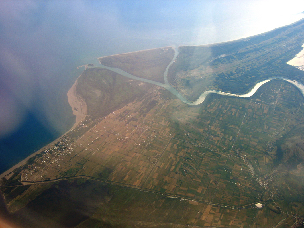
Patok lagoon and Drin river delta from the sky.jpg - DieliAlla

Vau Deja.jpg - Albinfo

Tomorr Mountain from the air.jpg - Albinfo

River Drin at VauDeja from the air (WPWTR16).jpg - Albinfo

Bence Tepelenë 005.jpg - Arianit

Tepelene 030.jpg - Arianit

Tepelene 028.jpg - Arianit

Tepelene 015.jpg - Arianit

Fier from the air 08.jpg - Arianit

Parku Arkeologjik i Bylisit – Qyteti Antik mbi Vjosë (9).jpg - Arbenllapashtica

Parku Arkeologjik i Bylisit – Qyteti Antik mbi Vjosë (2).jpg - Arbenllapashtica

2000-Kienzle-Dia (508).jpg - HelmutKienzle

2000-Kienzle-Dia (520).jpg - HelmutKienzle

Drisht 07.jpg - Arianit