Wikimedi'Òc
Modes d'emploi

Cet album fait partie des albums
Cet album photos contient les sous-albums suivants :


First SPUI.jpg - SPUI~commonswiki

Florida SR 408 at SR 435.jpg - Hohum
Florida SR 4080 at Valencia College Lane.jpg - Dicklyon

I-10 at Garfield Avenue.jpg - SPUI~commonswiki
SpaghettiJunctionGA.jpg - Ray Spalding

Chicago Interstate circle interchange from Sears Tower west 2004-11 img 2662.jpg - File Upload Bot (Dori)

I-90 and I-5 cloverleaf seattle washington.jpg - LeaW~commonswiki

Bruckner Interchange Photo Diagram.JPG - WhosAsking

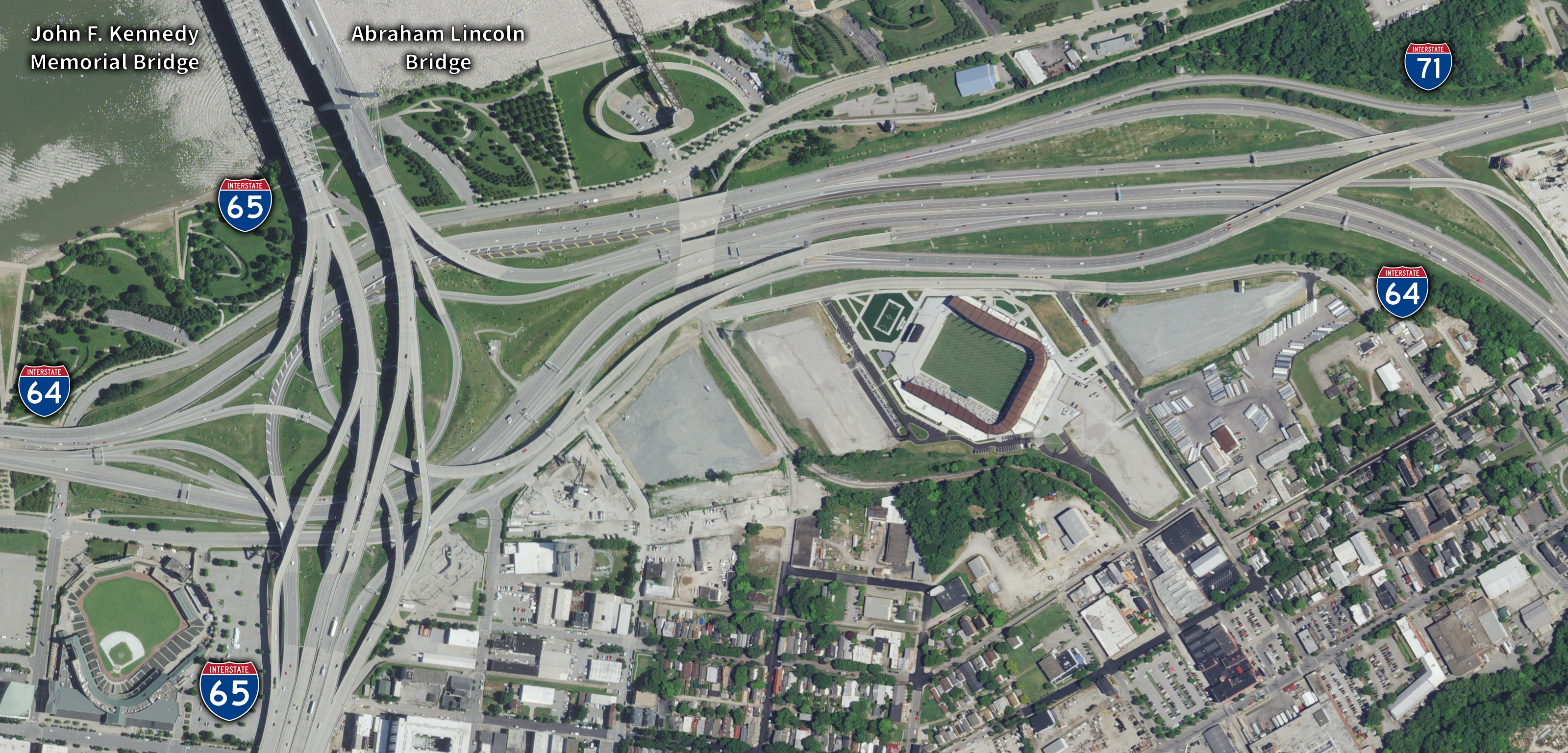
Kennedy Interchange Photo Diagram.JPG - WhosAsking
La city hwys.jpg - Shizhao

Road junction chicago.jpg - Mortadelo2005
I-287 I-87.jpg - Mortadelo2005

14th Street Bridge 1932.jpg - NE2
45intoI-10 2.jpg - Fran Rogers
Albuquerque aerial.jpg - Avala

2007 01 23 - 370@355 - NB.JPG - Thisisbossi

2007 01 23 - 29@Randolph-CherryHill - Aerial 01 (north is down).JPG - Thisisbossi

Four Level Interchange.jpg - NE2

I55-70Arch.jpg - Jan Kronsell

I-355 and I-55 interchange from air.jpg - Slick-o-bot

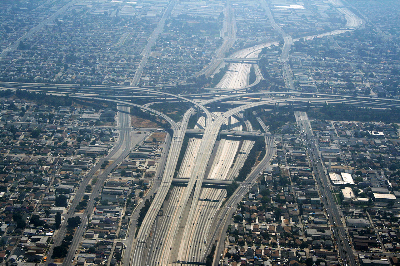
Harbor Freeway.jpg - Rotatebot

Circle Interchange Chicago.jpg - Stratosphere

Mini Stack Interchange (AZ).png - Stratosphere

Chicago as seen from a commercial flight 03.JPG - DavidArthur

Chicago as seen from a commercial flight 23.JPG - Piotrus

Overview of West Lancaster.jpg - Nyttend
17 and 3 interchange Rutherford.jpg - Aavindraa

West Palm Beach interchange.jpg - File Upload Bot (Magnus Manske)

Searsview3.jpg - Flickr upload bot
AT&T Basking Ridge.jpg - MBisanz

Double interchange on I675.jpg - Nyttend
I-70-Looking Southeast.jpg - UsmcRave99

Newhall Pass Interchange.png - PSurfliner~commonswiki

Bruckner Interchange.png - File Upload Bot (Magnus Manske)
Los Angeles - Echangeur autoroute 110 105.JPG - Mariordo

Los Angeles - Echangeur autoroute 405 105.JPG - CaptainHaddock
Los Angeles - Echangeur autoroute 710 105.JPG - Dicklyon
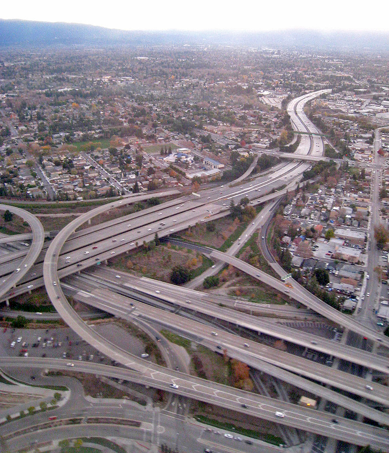
San Jose Freeway Interchange.jpg - Soerfm

I-395-Downtown Baltimore.JPG - Fletcher6

Third Ward and I-794.jpg - File Upload Bot (Magnus Manske)

FEMA - 1768 - Photograph by Robert A. Eplett taken on 01-17-1994 in California.jpg - BotMultichillT

FEMA - 1770 - Photograph by Robert A. Eplett taken on 01-17-1994 in California.jpg - BotMultichillT

FEMA - 1771 - Photograph by Robert A. Eplett taken on 01-17-1994 in California.jpg - BotMultichillT

FEMA - 1772 - Photograph by Robert A. Eplett taken on 01-17-1994 in California.jpg - BotMultichillT

FEMA - 1773 - Photograph by Robert A. Eplett taken on 01-17-1994 in California.jpg - BotMultichillT

FEMA - 1774 - Photograph by Robert A. Eplett taken on 01-17-1994 in California.jpg - BotMultichillT

FEMA - 1775 - Photograph by Robert A. Eplett taken on 01-17-1994 in California.jpg - BotMultichillT

FEMA - 1779 - Photograph by Robert A. Eplett taken on 01-17-1994 in California.jpg - BotMultichillT

FEMA - 1781 - Photograph by Robert A. Eplett taken on 01-17-1994 in California.jpg - BotMultichillT

FEMA - 1782 - Photograph by Robert A. Eplett taken on 01-17-1994 in California.jpg - BotMultichillT

FEMA - 1783 - Photograph by Robert A. Eplett taken on 01-17-1994 in California.jpg - BotMultichillT

FEMA - 1784 - Photograph by Robert A. Eplett taken on 01-17-1994 in California.jpg - BotMultichillT

FEMA - 1785 - Photograph by Robert A. Eplett taken on 01-17-1994 in California.jpg - BotMultichillT

FEMA - 1788 - Photograph by Robert A. Eplett taken on 01-17-1994 in California.jpg - BotMultichillT

FEMA - 1791 - Photograph by Robert A. Eplett taken on 01-17-1994 in California.jpg - BotMultichillT

FEMA - 7514 - Photograph by Andrea Booher taken on 06-15-2002 in Colorado.jpg - BotMultichillT

FEMA - 13698 - Photograph by Robert A. Eplett taken on 01-17-1994 in California.jpg - BotMultichillT

FEMA - 13700 - Photograph by Robert A. Eplett taken on 01-17-1994 in California.jpg - BotMultichillT

US Navy 071024-N-6597H-004 Aviation Warfare Systems Operator 2nd Class William Frost observes the view from an MH-60S Seahawk helicopter on his way to help fight the fires in San Diego.jpg - BotMultichillT

Chicago Circle Interchange (Spaghetti Bowl) 29Nov07.JPG - Igor Fedenko

Shore Pkwy fr VzB 5BBT jeh.jpg - Jim.henderson

2010-0615-JeanNV.jpg - Bobak
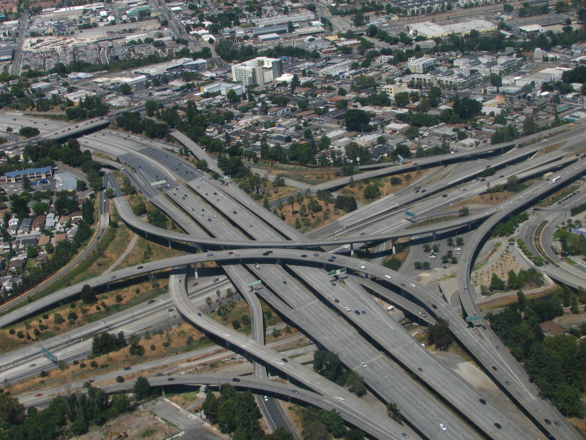
I-280 and SR 87 Interchange.jpg - Kevin Payravi

I-280 and SR 87 Interchange 2.jpg - Kevin Payravi
I-880 and Coleman Avenue Interchange.jpg - Kevin Payravi

California SR 85 and SR 87 Interchange.jpg - Kevin Payravi
PHX I-10, AZ-51, AZ-202.jpg - Huntster

I-10 and I-17 stack, PHX.jpg - File Upload Bot (Magnus Manske)

Interstate 15 closure at SR 78 on 2010-12-09.jpg - Evil saltine

Loop 202 Super Red Tan Stack - Aireal - 2008-01.JPG - TheImaCow

Grand Avenue-US 70B, Hot Springs.jpg - Brandonrush

Hollywood Split 101,134,170.png - Junkyardsparkle

FREEWAY INTERCHANGE NORTH OF MIAMI - NARA - 544642.jpg - US National Archives bot

AERIAL OF A MARINA DEVELOPMENT AT OCEANSIDE. SOME 84 PERCENT OF THE RESIDENTS IN THE STATE LIVE WITHIN 30 MILES OF... - NARA - 557462.jpg - US National Archives bot

Aerial view of a complex of Long Island highways that provide access to New York City, ca. 1946 - NARA - 518064.jpg - US National Archives bot

ENTRANCE TO THE GEORGE WASHINGTON BRIDGE FROM THE WEST SIDE HIGHWAY IN UPPER MANHATTAN. THE ROAD PASSING UNDER THE... - NARA - 548332.jpg - US National Archives bot

ENTRANCE TO THE GEORGE WASHINGTON BRIDGE FROM UPPER MANHATTAN - NARA - 548363.jpg - US National Archives bot

APPROACHES TO THE GEORGE WASHINGTON BRIDGE IN UPPER MANHATTAN, AERIAL VIEW - NARA - 548418.jpg - US National Archives bot

NEW TRAFFIC "MIXING BOWL" (NEAR PENTAGON), LOOKING WEST - NARA - 546687.jpg - US National Archives bot

APPROACH TO THE GEORGE WASHINGTON BRIDGE. (FROM THE SITES EXHIBITION. FOR OTHER IMAGES IN THIS ASSIGNMENT, SEE FICHE... - NARA - 553846.jpg - US National Archives bot

Exit33 I-695 MD.jpg - BotMultichillT

West Side of I-25 and County Line Road.jpg - File Upload Bot (Magnus Manske)

Peru from the Air (looking South over the city).jpg - Closeapple

Interstate Junction Kansas City.jpg - Fule33
45 into I-10.jpg - File Upload Bot (Magnus Manske)

KamikazeCurve.png - MGA73bot2

Aerial view of I-5 at Kuebler (5035968597).jpg - File Upload Bot (Magnus Manske)

I-5 and WA-516 interchange aerial.jpg - SounderBruce

Highways roadways aerial photography.jpg - Fæ
NOAA - NGDC - 1971 San Fernando Earthquake - Collapse of Newhall Pass interchange.tif - Dawnseeker2000

IH-10-US-54 Interchange.jpeg - B575

128 and 93 cloverleaf.jpg - Flickr upload bot

LA interchange.jpg - Ktr101

Littleton station and I-495 - Route 2 interchange aerial view.JPG - Pi.1415926535

HohokamExpy-SkyHarborBlvd interchange.jpg - Xnatedawgx

Aerial view of SFNO after Hurricane Katrina edit.jpg - Crisco 1492
AERIAL VIEW OF FOUR LEVEL INTERCHANGE OF ARROYO SECO PARKWAY AND HIGHWAY 101. LOOKING NE. - Arroyo Seco Parkway, Los Angeles to Pasadena, Los Angeles, Los Angeles County, CA HAER CAL,19-LOSAN,83-15.tif - Fæ
AERIAL VIEW OF FOUR LEVEL INTERCHANGE OF ARROYO SECO PARKWAY AND HIGHWAY 101. LOOKING NE. - Arroyo Seco Parkway, Los Angeles to Pasadena, Los Angeles, Los Angeles County, CA HAER CAL,19-LOSAN,83-16.tif - Fæ
AERIAL VIEW OF INTERCHANGE OF ARROYO SECO PARKWAY AND INTERSTATE I-5 INTERCHANGE. NOTE ARROYO SECO DRAINAGE INTO LOS ANGELES RIVER AT BOTTOM CENTER. - Arroyo Seco Parkway, HAER CAL,19-LOSAN,83J-2.tif - Fæ
AERIAL VIEW OF WESTON ROAD INTERCHANGE, LOOKING SOUTHEAST. - Merritt Parkway, Beginning in Greenwich and running 38 miles to Stratford, Greenwich, Fairfield County, CT HAER CONN,1-GREWI,2-37.tif - Fæ
AERIAL VIEW OF BRIDGE IN CONTEXT FROM NORTH. LOOKING SOUTH. - Thomas A. Edison Bridge, Spanning Raritan River at U.S. Route 9, South Amboy, Middlesex County, NJ HAER NJ,12-AMBOYS.V,1-3.tif - Fæ
AERIAL VIEW OF HIGH BRIDGE. STEEL SPAN AT CENTER OF BRIDGE WAS ERECTED IN 1923 TO AID NAVIGATION ON THE HARLEM RIVER. - Old Croton Aqueduct, Harlem River Crossing, Spanning HAER NY,3-BRONX,12A-11.tif - Tm
GEORGE WASHINGTON BRIDGE, MANHATTAN INTERCHANGES - George Washington Bridge, Spanning Hudson River between Manhattan and Fort Lee, NJ, New York, New York County, NY HAER NY,31-NEYO,161-74.tif - Fæ
TRIBOROUGH BRIDGE EXCHANGE PLAZA ON RANDALL'S ISLAND. - Triborough Bridge, Passing through Queens, Manhattan and the Bronx, Queens (subdivision), Queens County, NY HAER NY,41-QUE,2-21.tif - Fæ
AERIAL VIEW, WESTCHESTER COUNTY, SAW MILL INTERCHANGE. VIEW NW. - Taconic State Parkway, Poughkeepsie, Dutchess County, NY HAER NY,14-POKEP.V,1-134.tif - Fæ
AERIAL VIEW OF CLARA BARTON PARKWAY AND I-495 INTERCHANGE LOOKING EAST. - George Washington Memorial Parkway, Along Potomac River from McLean to Mount Vernon, VA, Mount Vernon, HAER VA,30- ,8-133.tif - Fæ
AERIAL VIEW OF CLARA BARTON PARKWAY AND I-495 INTERCHANGE LOOKING EAST. - George Washington Memorial Parkway, Along Potomac River from McLean to Mount Vernon, VA, Mount Vernon, HAER VA,30- ,8-135.tif - Fæ
AERIAL VIEW OF CLARA BARTON PARKWAY AND I-495 INTERCHANGE WITH CABIN JOHN OVERPASS LOOKING NORTHWEST. - George Washington Memorial Parkway, Along Potomac River from McLean to HAER VA,30- ,8-134.tif - Fæ

South-Los-Angeles-110-and-105-freeways-Aerial-view-from-north-August-2014.jpg - Firstcultural

Cupertino-junction-280-and-85-Aerial-from-west-August-2014.jpg - Firstcultural

Woodburn Interchange (14253311154).jpg - Tm

APD-40cloverleaf.jpg - Mx. Granger

Interstate 5 and Interstate 805 Sorrento Valley interchange.jpg - RightCowLeftCoast

Washington Deegan interch from Hibridge jeh.jpg - Jim.henderson

View of interchange from Reunion Tower August 2015 02.jpg - Michael Barera

30 years of progress, 1934-1964 - Department of Parks - 300th anniversary of the City of New York - New York World's Fair. (1964) (16458228567).jpg - Fæ
Marquette Interchange looking southwest Sept 2015.jpg - Royalbroil

Aerial view Blue Mountain Interchange, Pennsylvania Turnpike (79701).jpg - Junkyardsparkle

Route 2 and I-190 interchange aerial.jpg - Nickknack00
Beacon Park Yard aerial.JPG - Nickknack00
110 to 91 interchange - panoramio.jpg - Panoramio upload bot

IMAG2584-dallas-freeway-interchange.jpg - Firstcultural

IMAG2583-dallas-freeway-interchange.jpg - Firstcultural

A grand entrance to or exit from Manhatten is seen here as the western ramps of the George Washington Bridge swirl about in a perfect engineering symphony - panoramio.jpg - Panoramio upload bot

IMAG3063-hayward-880-92-interchange.jpg - Firstcultural

IMAG3064-hayward-880-92-interchange-southland-mall.jpg - Firstcultural

1974-GM050-893 (4157610099).jpg - Victorgrigas

1974-GM050-891 (4157609505).jpg - Victorgrigas

I-85 I-485 turbine interchange construction aerial 2013.jpg - B137

I-79 and I-376 Interchanges Aerial (30386687733).jpg - Hhm8

I-15 I-515 US 93 US 95 interchange in downtown Las Vegas, Nevada, looking east, 2001.jpg - Toohool

Arizona 101 202 interchange in Mesa.jpg - Dicklyon

Dolphin and Palmetto Expressway Interchange.jpg - Haljackey

US70 Facing West at I-540 Aerial (25669035098).jpg - Tyler ser Noche

Aerial RDU Aviation Pkwy + Airport Blvd (25669039088).jpg - Tyler ser Noche

US61 Airline Drive - Causeway Boulevard - Circle Interchange Aerial - April 2014 (41867284442).jpg - Tyler ser Noche
Bend In Connecticut River (33020928686).jpg - Tyler ser Noche

I-85 North - Overpasses To and From I-285 (35191235375).jpg - Tyler ser Noche

Interstate565Aerial-DowntownHuntsville (24825878098).jpg - Tyler ser Noche

Rainbow Interchange Aerial (13256278753).jpg - Tyler ser Noche

RainbowIntercharge-Aug2013 (26252084048).jpg - Tyler ser Noche

RainbowInterchargePortrait-Aug2013 (26252084838).jpg - Tyler ser Noche

Route 3 and 128 interchange aerial view, December 2018.JPG - Pi.1415926535

Turnpike-Int595-Aerial-Mar2013 (35145735631).jpg - Formulanone

I-678 Whitestone Expressway Aerial (34466212533).jpg - Formulanone
I-495 and I-295 in MD Potomac River (35936612065).jpg - Formulanone

I-285 Aerial Facing North - Exit 2 - GA6 Camp Creek Parkway (40207555550).jpg - Formulanone

Chicago (ILL) Willis Tower ( Ex. SEARS Tower ) 1974, Near West Side, expressways 290 W. Eisenhower, 94, 90. " traffic " (4800123865).jpg - SecretName101

Chicago (ILL) Willis Tower ( Ex. SEARS Tower ) 1974, Near West Side, expressways 290 W. Eisenhower, 94, 90. " traffic " (4800139245).jpg - SecretName101

Circle Interchange (4800139245).jpg - SecretName101
New N.C. 150 Interchange in Davidson County.jpg - Washuotaku

Arundel Mills Boulevard interchange aerial view, September 2018.JPG - Pi.1415926535

Aerial view of routes 29 and 216 interchange, September 2018.JPG - Pi.1415926535

Aerial view of ICC and New Hampshire Avenue interchange, September 2018.JPG - Pi.1415926535
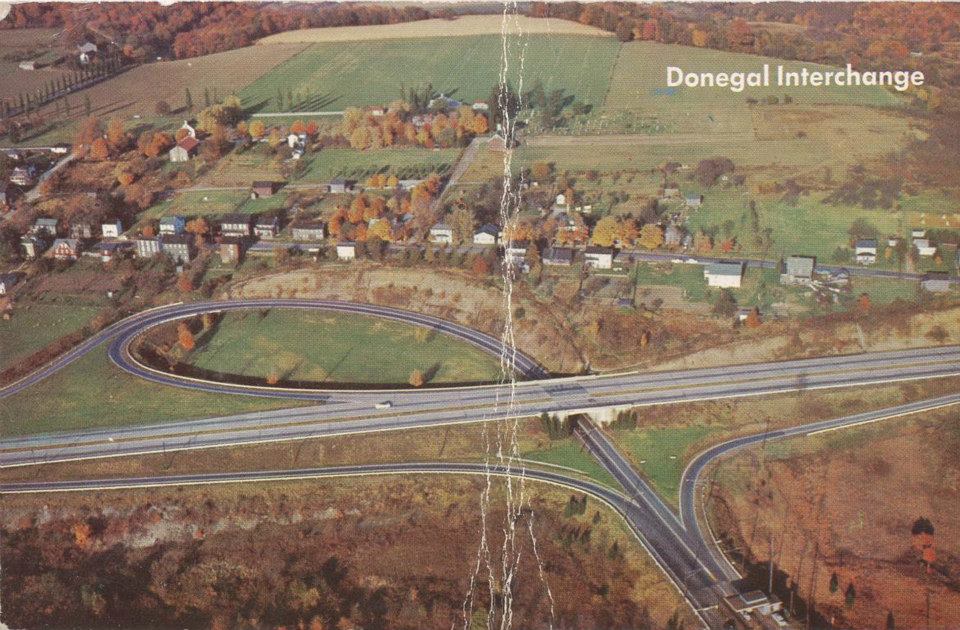
Donegal Turnpike Interchange.jpg - Drums600

ENTRANCE TO THE GEORGE WASHINGTON BRIDGE FROM THE WEST SIDE HIGHWAY IN UPPER MANHATTAN. THE ROAD PASSING UNDER THE... - NARA - 548332 (edit).jpg - Jim Evans

I-275 Aerial - Exits for FL687 and FL688.jpg - Ser Amantio di Nicolao

I-275 Aerial - Exits for FL687 and FL688 II.jpg - Ser Amantio di Nicolao

Valley Forge Interchange (Eastern Terminal) Pennsylvania Turnpike (82581).jpg - Junkyardsparkle

I-85 at I-285 and Spur GA14 Overpass Aerial (50698132241).jpg - Sentinel user

Wantagh–Southern Parkway interchange aerial 2021.jpg - Antony-22

Los Angeles - Echangeur autoroute 110 105 (cropped).JPG - Sdkb

DMHS near Four Level Interchange, 1999.jpg - Reppop

2022-09-09 17 12 32 UTC minus 4 View of the interchange between Interstate 95 (New Jersey Turnpike) and Interstate 78 (New Jersey Turnpike Newark Bay Extension) from an airplane which just took off from Newark Liberty International Airport.jpg - Famartin

2022-09-09 17 12 47 UTC minus 4 View of the interchange of the New Jersey Turnpike's eastern and western spurs in the eastern portions of Newark, Essex County, New Jersey from an airplane which just took off from Newark Liberty International Airport.jpg - Famartin

Interstate 270 and OH 161 Dublin.jpg - InvadingInvader
2020 4BandImagery Indiana J874808.jpg - Geo wisdom

231105-2 Loop 303 and 43rd Ave.jpg - TrickHunter

231119-14 I-10 and Loop 202 intersection.jpg - TrickHunter

Aerial view of I-238 and I-580 interchange, December 2023.JPG - Pi.1415926535

231112-1 I-10 and US 60 intersection.jpg - TrickHunter

231202-4 intersection of Loop 101 and US 60 from the southeast.jpg - TrickHunter

Aerial view of Glenn Highway and Old Glenn Highway interchange.jpg - TheImaCow

Fire Lake, Eagle River, Alaska.jpg - TheImaCow

Interstate 81 Exit 4 Interstate 70 Exit 24 Interchange - Airborne Batimore to Minneapolis (3357391727).jpg - TheImaCow

I-97 at MD100 Interchange Aerial.jpg - TheImaCow

I-65 at I-565 Aerial.jpg - TheImaCow

UT201 Facing West at 3200 West Intersection.jpg - TheImaCow

CA55 at 17th Street in Santa Ana.jpg - TheImaCow

I-5 at CA55 Flyover Ramps - Facing Northwest.jpg - TheImaCow
I-410 and US281 Interchange Stack Aerial.jpg - TheImaCow

I-285 Aerial at Some Overpass.jpg - TheImaCow

I-610 between I-10 and US290 Aerial.jpg - TheImaCow

I-95 Aerial Facing North at I-595 and FL84.jpg - TheImaCow

I-95 Aerial Facing Northeast at I-595 and FL84.jpg - TheImaCow

Anderson Road Ramps at FL589 Aerial.jpg - TheImaCow

I-494 at I-35W Aerial Facing East.jpg - TheImaCow

Florida's Turnpike and FL802 Exit.jpg - TheImaCow

I-10 at LA1 Aerial Facing West (50887188606).jpg - TheImaCow

I-94 and M-39 Aerial - Allen Park (45764511314).jpg - TheImaCow

M-39 and M-153 Corporate Offices (45575003025).jpg - TheImaCow

Spur 601 Aerial Overpass Near Fort Bliss (50427263462).jpg - TheImaCow

King of Prussia Mall I-276 I-76 US422 US202 Aerial (51156478182).jpg - TheImaCow

I-76 Facing South at US130 Aerial (51156479162).jpg - TheImaCow

I-294 Aerial at I-190 I-90 Exit (50561717477).jpg - TheImaCow

US12 US45 North Near I-190 Aerial (50561717282).jpg - TheImaCow

Three Petal Cloverleaf (50561590506).jpg - TheImaCow

Interstate 55 at IL171 Aerial (50561726587).jpg - TheImaCow

TX183 at TX161 Aerial - Facing East (49394996737).jpg - TheImaCow

Interstate 20 at US287 - Facing South (49395002177).jpg - TheImaCow

I-30 at TX161 Aerial - Facing East (49394999382).jpg - TheImaCow
Interstate 35W at Interstate 20 - Facing South (49394802306).jpg - TheImaCow

I-20 at TX183 and Chisholm Trail Parkway Aerial (49395008037).jpg - TheImaCow

I-280 at CA87 Interchange Aerial (49395086222).jpg - TheImaCow

CA87 at I-280 Interchange Aerial (49394404153).jpg - TheImaCow

I-495 at Cabin John Creek Aerial (29029017554).jpg - TheImaCow
I-244 Facing East at US169 Interchange - Tulsa (50618510858).jpg - TheImaCow

I-44 at OK37 Facing West (50619357177).jpg - TheImaCow
Triangular Ramps to and From ATL (43590004340).jpg - TheImaCow

Turnpike at Greeneway Aerial (49524528533).jpg - TheImaCow

John Young and Osceola Parkways Aerial (49525041251).jpg - TheImaCow

I-94 M-10 Wayne State University Aerial (49525264937).jpg - TheImaCow

I-85 Aerial Facing South From I-285 Ramps (46500302664).jpg - TheImaCow

TX183Fe+TX161nsAerial-Mar2018 (40082684515).jpg - TheImaCow

I-74 and I-275 Aerial - Facing West (44965483831).jpg - TheImaCow

AL 2 I59 FHWA 1964 8.jpg - TheImaCow

AL 14 I65 FHWA 1963 1238.jpg - TheImaCow

CA 1 I10 FHWA 63 1239.jpg - TheImaCow

CA 12 I5 NARA 1960 304.jpg - TheImaCow

CA 13 I80 NARA 1960 305.jpg - TheImaCow

CA 16 I80 I395 NARA 1961 25.jpg - TheImaCow

CA 17 I280 NARA 1961 27.jpg - TheImaCow

CA 18 I280 NARA 1961 33.jpg - TheImaCow

CA 30 I60 NARA 1963 1300.jpg - TheImaCow

CA 50 I110 FHWA 1956 261.jpg - TheImaCow

CA 54 I5 FHWA 1957 5599 5.jpg - TheImaCow

CA 56 I5 FHWA 1957 5772 12.jpg - TheImaCow

CO 6 I25 NARA 1960 299.jpg - TheImaCow

CO 10 I25 NARA 1960 303.jpg - TheImaCow

GA 5 I285 I75 FHWA 1966 125.jpg - TheImaCow

GA 6 I20 I75 FHWA 1966 124.jpg - TheImaCow
GA 61 I65 FHWA 1966 126.jpg - TheImaCow

KS 1 I70 K 23E FHWA 63 1231.jpg - TheImaCow

MN 3 I494 35W FHWA 63 1465.jpg - TheImaCow

MN 4 I494 ROUTE61 FHWA 63 1466.jpg - TheImaCow

ND 18 I94 FHWA 66 335.jpg - TheImaCow

NY 17 I87 FHWA 1967 687.jpg - TheImaCow

OR 16 I5 FHWA 1966 340.jpg - TheImaCow

OR 19 I84 FHWA 1968 53.jpg - TheImaCow

OR 22 I84 FHWA 1968 44.jpg - TheImaCow

OR 28 I5 FHWA 1968 51.jpg - TheImaCow
OR 33 I5 FHWA 1967 1027.jpg - TheImaCow

OR 34 I5 FHWA 1967 1028.jpg - TheImaCow

OR 35 I5 FHWA 1967 1029.jpg - TheImaCow

OR 37 I84 FHWA 1967 1031.jpg - TheImaCow

OR 40 I84 FHWA 1967 1022.jpg - TheImaCow

OR 43 I5 FHWA 1967 723.jpg - TheImaCow

OR 46 I5 FHWA 1965 372.jpg - TheImaCow

OR 47 I5 FHWA 1966 129.jpg - TheImaCow
OR 50 I5 FHWA 1966 341.jpg - TheImaCow

OR 55 I5 FHWA 1966 313.jpg - TheImaCow
RI 4 I95 FHWA 1967 895.jpg - TheImaCow

TN 10 I240 FHWA 1967 714.jpg - TheImaCow

VA 1 I95 FHWA 1966 223.jpg - TheImaCow

VT 6 I91 FHWA 1967 702.jpg - TheImaCow

WA 6 I5 FHWA 1967 1003.jpg - TheImaCow

WA 10 I5 FHWA 1967 1007.jpg - TheImaCow

WA 12 I5 FHWA 1967 1009.jpg - TheImaCow

Greenville NC Gateway Sign - 04.jpg - TheImaCow

Junction of I-595 and I-75.jpg - Yanjipy