Wikimedi'Òc
Modes d'emploi

Cet album fait partie des albums
Cet album photos contient les sous-albums suivants :


Chincoteague VA from airplane.jpeg - Dough4872

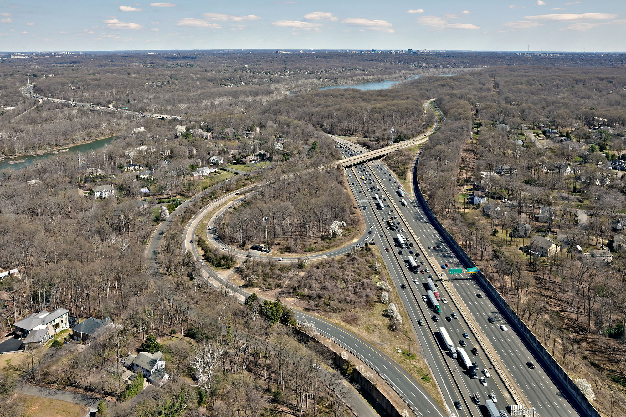
I-64 at US 60 Aerial (38666139042).jpg - Tyler ser Noche
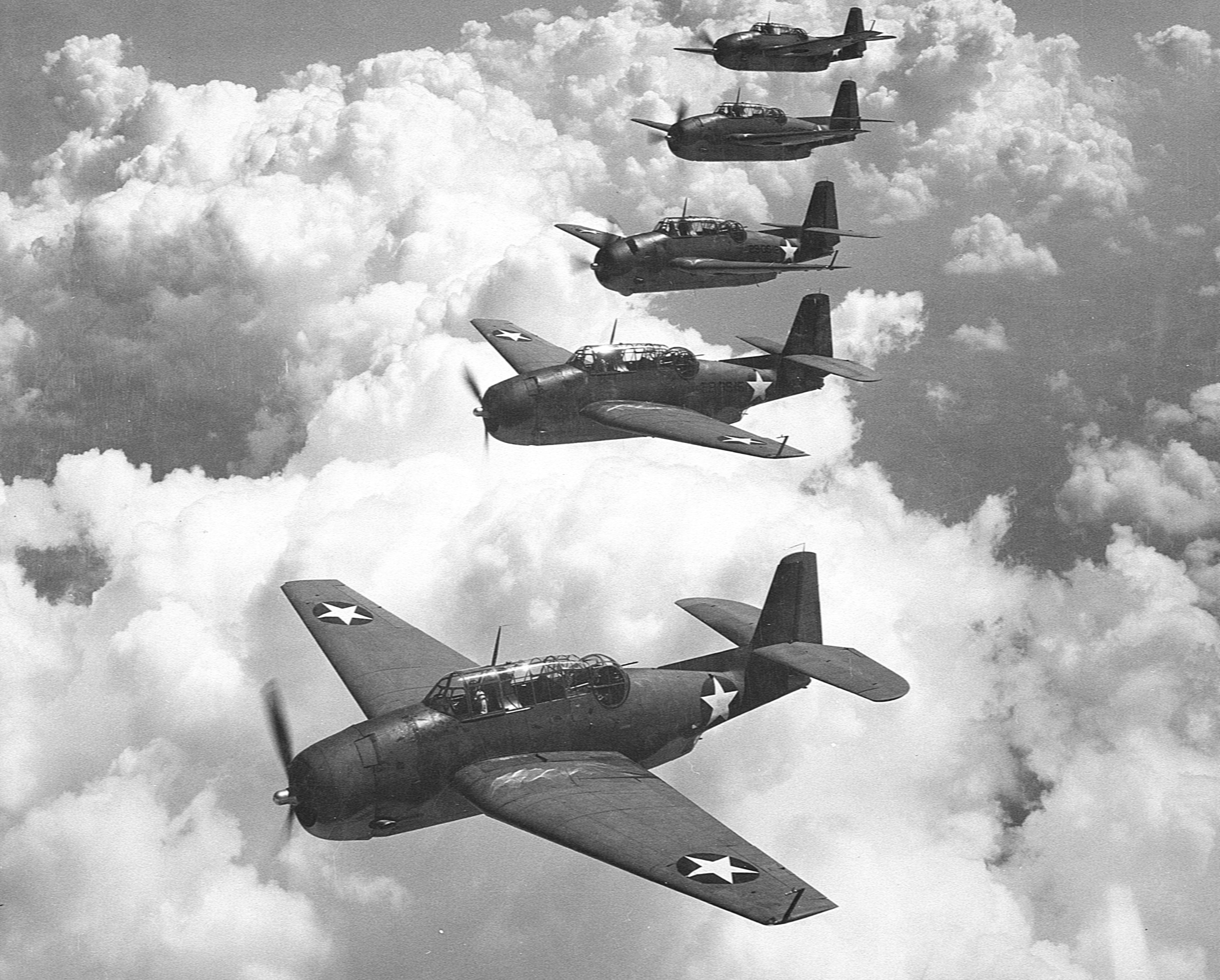
Grumman TBF-1 Avengers of VGS-29 in flight over Norfolk, Virginia (USA), on 1 September 1942 (80-G-427475).jpg - Cobatfor

Washington 77.04477W 38.88819N.jpg - Rex

StevenFUdvarHazy.png - Bubba73

Norfolk Ship Yard.jpg - Schlendrian

Grundy Virginia flood 1984.jpg - DanMS
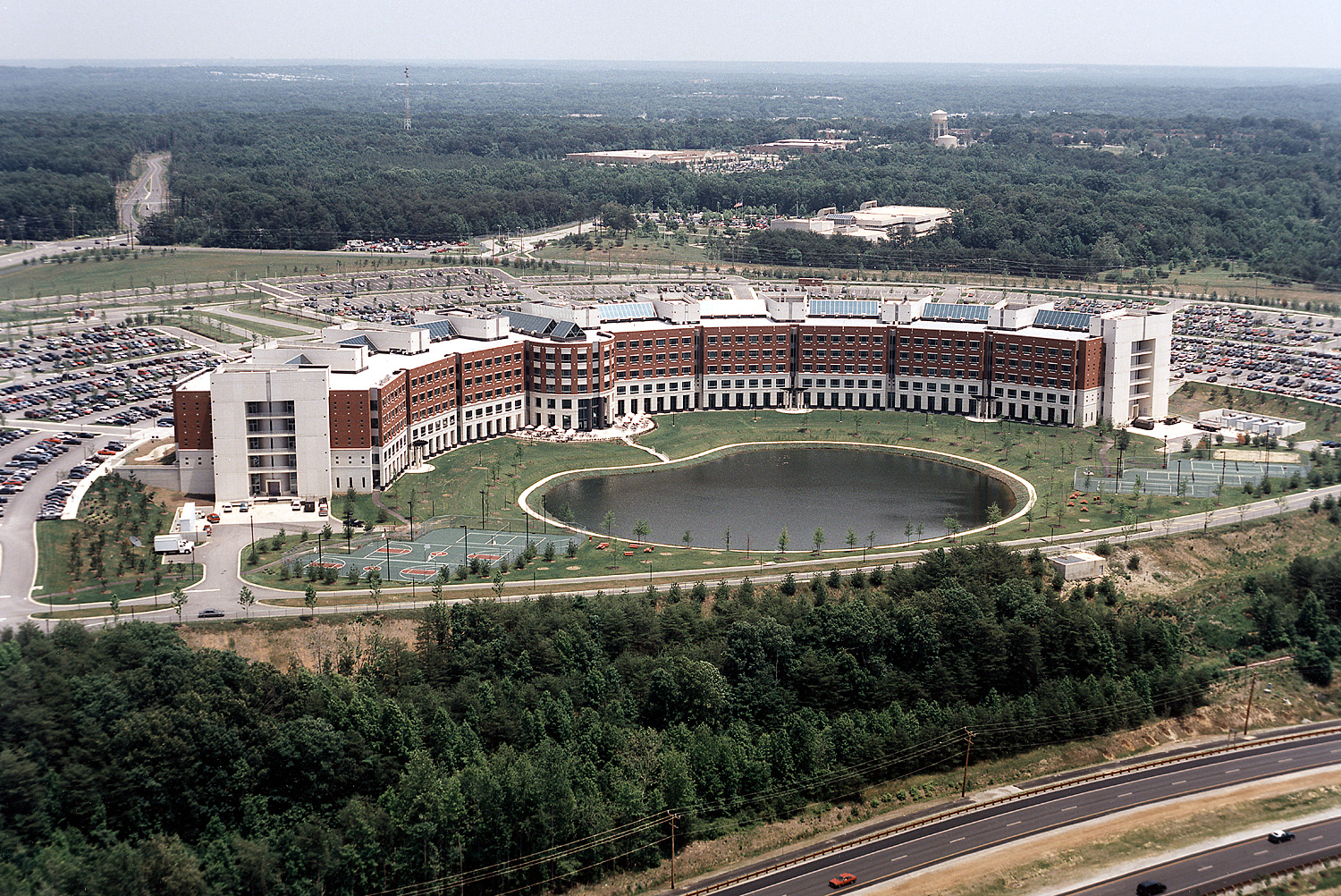
Fort Belvoir DLA building.jpg - DanMS
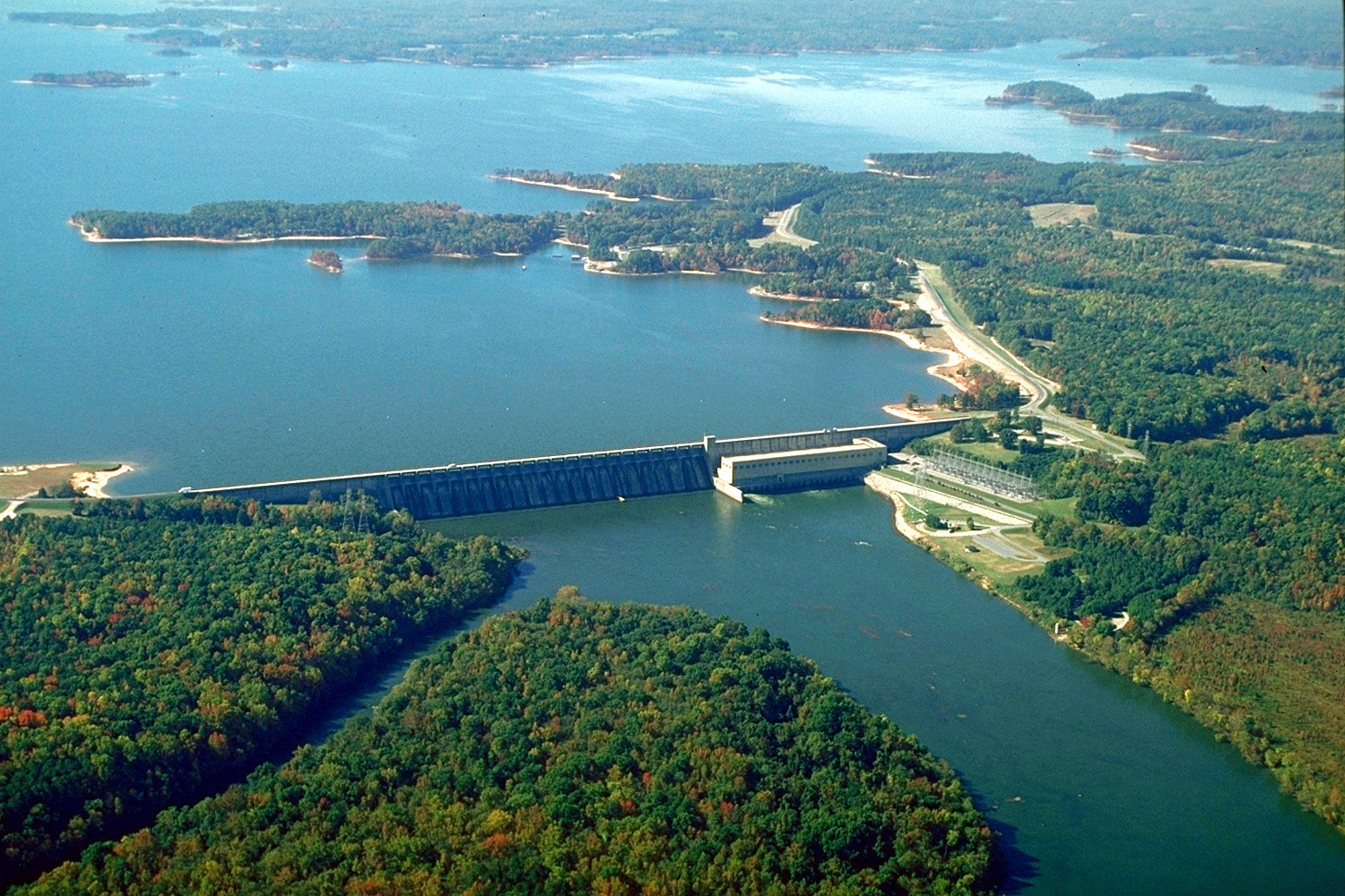
USACE John H Kerr Dam and Lake.jpg - DanMS

USSAkronOverWashingtonDC.jpg - Clindberg

GreatFallsPotomacAerialOld.jpg - Clindberg
Episcopal High School Alexandria VA aerial.jpg - BetacommandBot

AerialBackRiver.jpg - Unixluv

USS America (CV-66) returns from final deployment.jpg - Dual Freq

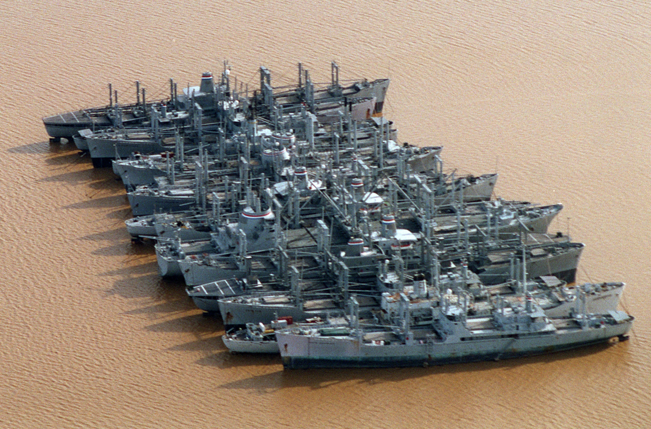
U.S. Reserve Fleet ships laid up on the James River, Virginia (USA), on 28 January 1996 (6495267).jpg - DanMS

NCC USGS.jpg - MBisanz

Tyson's Corner from cruising altitude.jpg - Flickr upload bot

NCC-highres.png - MBisanz

Eastern Air Lines Lockheed L-749A crash Curles Neck Farm.jpg - CopperKettle

Defense Logistics Agency HQ.jpg - MBisanz

The Anchorage Early Spring.jpg - Anchorage24

FEMA - 35049 - VA MWEOC.jpg - BotMultichillT

Aerial photograph of Appalachia High School in Appalachia, Virginia.jpg - Chasedm1993
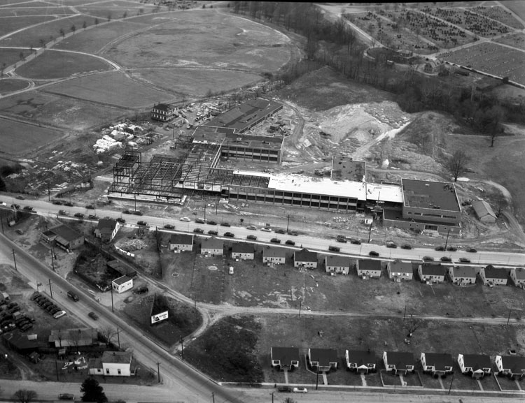
Armstrong High School (2898495031).jpg - File Upload Bot (Magnus Manske)

Bremo Bluff, Virginia USGS 1994.jpeg - KimChee

Shirlington USGS.png - AjaxSmack

ArlingtonFarmsAerialPhoto1949.png - Jguy227~commonswiki

VIRGINIA SECTION OF THE BELTWAY. THE CAPITAL BELTWAY CIRCLES THE VIRGINIA AND MARYLAND SUBURBS PROVIDING HIGH SPEED... - NARA - 546607.jpg - US National Archives bot

NEW TRAFFIC "MIXING BOWL" (NEAR PENTAGON), LOOKING WEST - NARA - 546687.jpg - US National Archives bot

AERIAL VIEW OF RAILROAD YARDS AND IN THE REAR, NATIONAL AIRPORT AND THE POTOMAC RIVER - NARA - 547265.jpg - US National Archives bot

VIEW FROM A HELICOPTER, LIGHT TRAFFIC ON THE 14TH STREET BRIDGE BETWEEN THE DISTRICT AND VIRGINIA - NARA - 547272.jpg - US National Archives bot

Aerial photograph of the Little River at Snowville, Virginia.jpg - Hasenläufer

Woodrow Wilson Bridge aerial 2012.jpg - File Upload Bot (Magnus Manske)
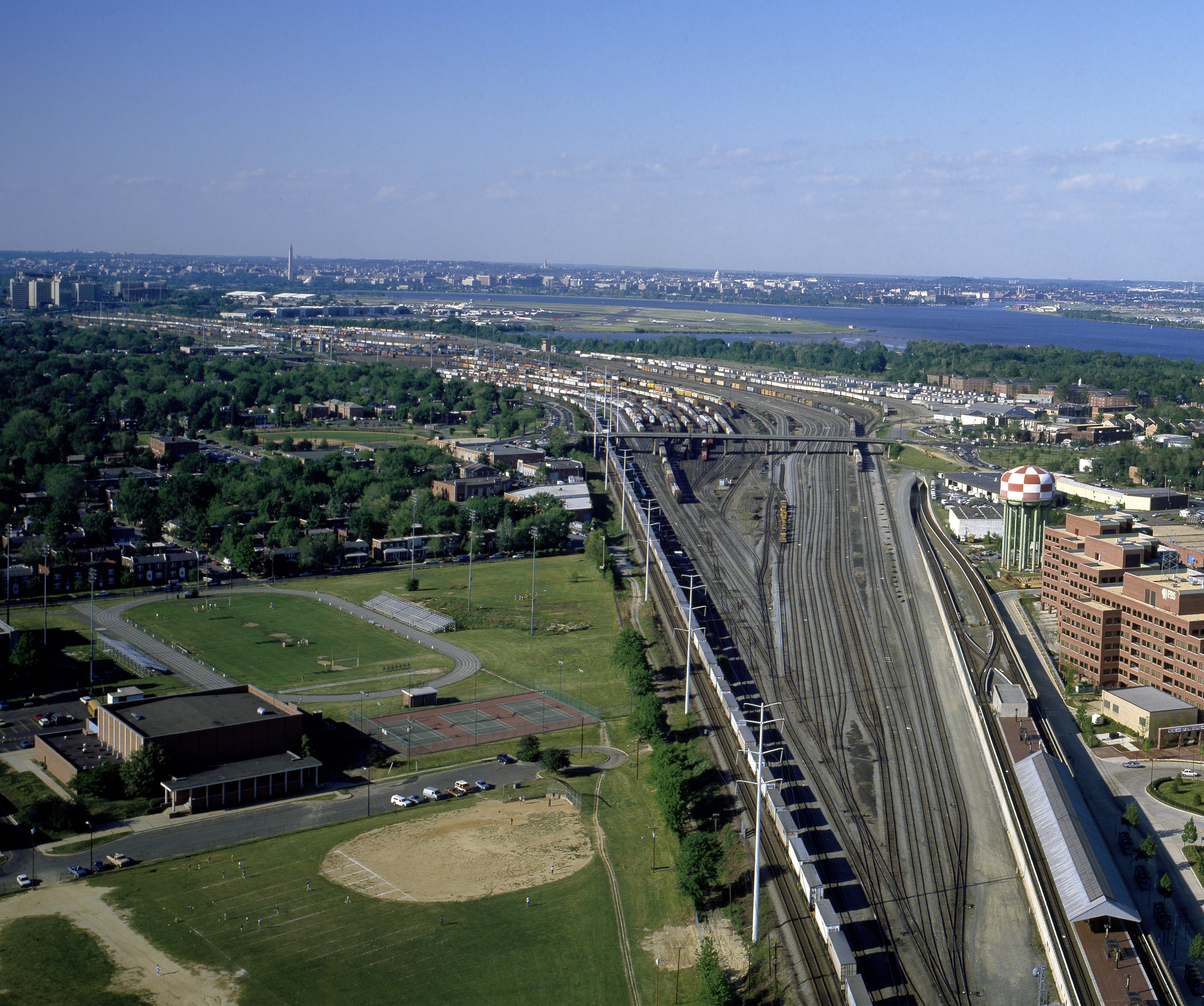
Potomac Yard - aerial 1980s.jpg - Caseyjonz

Batesville, Virginia Aerial USGS.jpg - MountainRail
Colonial National Historical Park COLO1311.jpg - Fæ
James River Reserve Fleet ships1 in 1996.JPEG - Cobatfor

U.S. Geological Survey Skyline Center 2002.jpg - EdJF

Greenwood, Albemarle County, Virginia Aerial USGS.jpg - MountainRail

Little Rock Tunnel Aerial USGS.jpg - MountainRail
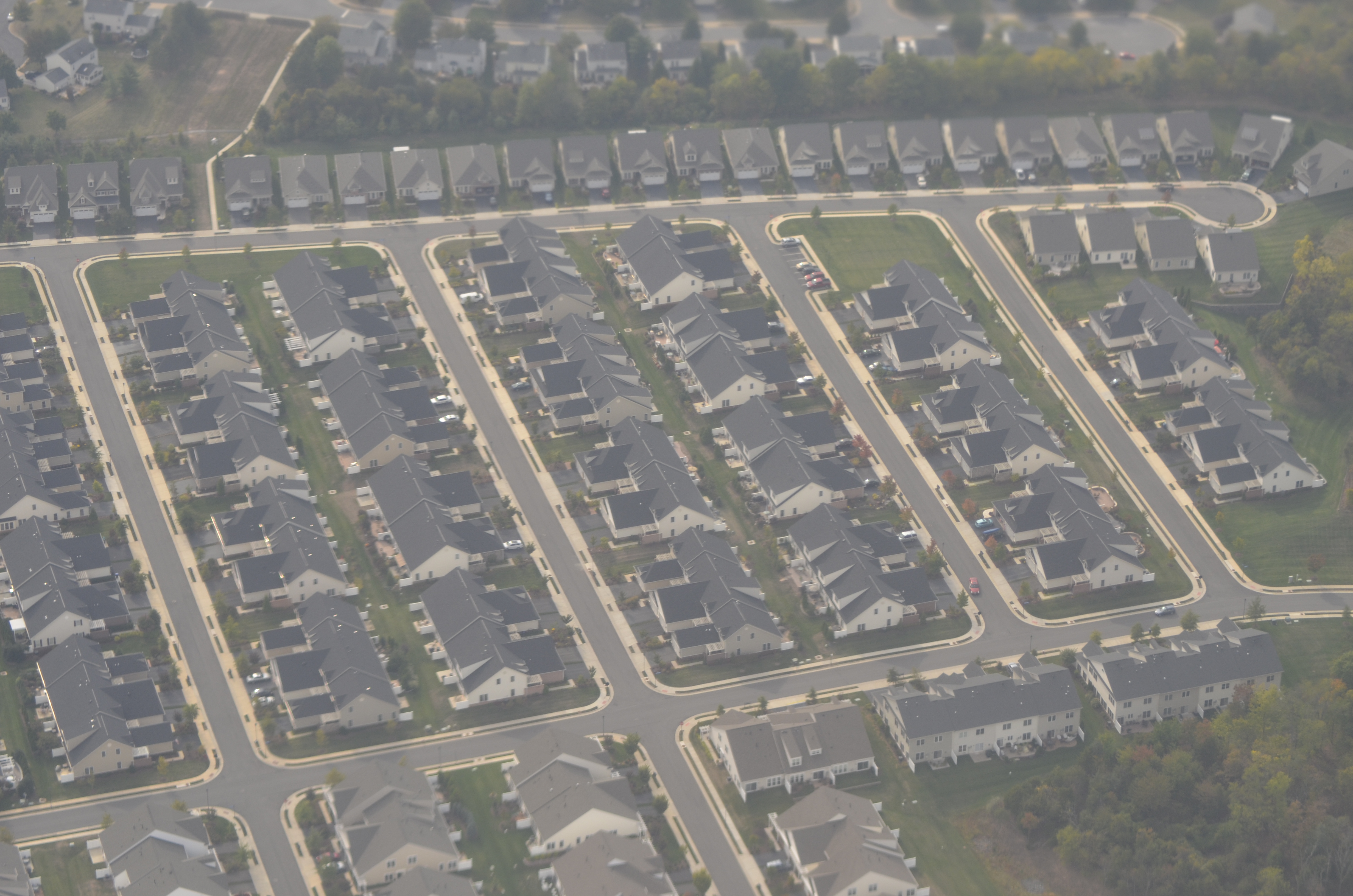
20131003T193901Z TY13006-CasablancaDrive-CrescentPointePlace-AshburnVA.jpg - DrTorstenHenning

Massies Mill Flooding (7797529874).jpg - File Upload Bot (Magnus Manske)

Massies Mill Damages (7797530078).jpg - File Upload Bot (Magnus Manske)

Rt. 603 Flooding (7797532996).jpg - File Upload Bot (Magnus Manske)

Scottsville Aerial View (7797532376).jpg - File Upload Bot (Magnus Manske)

Massies Mill (7797544864).jpg - File Upload Bot (Magnus Manske)

The James and Rockfish Rivers (7797547848).jpg - File Upload Bot (Magnus Manske)

Aerial view of tornado aftermath (2898494661).jpg - File Upload Bot (Magnus Manske)

Home Beneficial, Bowe Street and Broad Street (2898488813).jpg - File Upload Bot (Magnus Manske)

USS L.Y. Spear (AS-36) with submarines at Norfolk 1996.JPEG - Cobatfor

Virginia underneath us (2915614947).jpg - Russavia
Langleyafb-1987.jpg - Rcbutcher
HISTORIC IMAGE- AERIAL VIEW OF CEMETERY AND ITS ENVIRONS. PHOTOGRAPH 17 JUNE 1952. NCA HISTORY COLLECTION. - Glendale National Cemetery, 8301 Willis Church Road, Richmond, Independent HALS VA-5-14.tif - Fæ
HISTORIC IMAGE- AERIAL VIEW OF PHOEBUS ADDITION TO CEMETERY. PHOTOGRAPH 14 JULY 1961. NCA HISTORY COLLECTION. - Hampton National Cemetery, Phoebus Addition, Cemetery Road at Marshall HALS VA-6-B-6.tif - Fæ

Va. Guard aviators train with federal, state and local agencies 140607-A-SM601-253.jpg - Fæ

Aerial close up.JPG - Anchorage24

1983 aerial photograph of the Potomac River in the District of Columbia and Alexandria, Virginia, showing Oxon Cove and Woodrow Wilson Bridge.jpg - Paytonc

Aerial Photo of the Prince William Campus..jpg - Kathydodd
3Presidential order delaying the Boy Scout Jamboree for a year because of infantile paralysis 9186v.jpg - Slowking4

Bell telephone magazine (1922) (14569507658).jpg - Fæ

Silver Line Phase 2 construction in Dulles Access Road median, September 2015.JPG - Pi.1415926535

Silver Line Dulles Yard entrance guideway construction, September 2015.JPG - Pi.1415926535

2015-07-10 18 53 46 View of Old Ox Road (Virginia State Secondary Route 606) from a plane departing Washington Dulles International Airport in Virginia.jpg - Famartin

2015-07-10 18 58 37 Clouds and crepuscular rays over Marshall, Virginia viewed from an airplane flying from Washington Dulles International Airport to Dallas-Fort Worth International Airport.jpg - Famartin

2015-07-10 19 01 45 Clouds over Markham, Virginia viewed from an airplane flying from Washington Dulles International Airport to Dallas-Fort Worth International Airport.jpg - Famartin

Interstate 66 and Markham, Virginia (2901076448).jpg - INeverCry

U.S. 17 and Delaplane, Virginia (2900998812).jpg - INeverCry

Tysons Corner and Falls Church, Virginia (14311561299).jpg - INeverCry

Tysons Corner, Virginia (14311713557).jpg - INeverCry

Reston, Virginia (14494786971).jpg - INeverCry

Conklin, Virginia (14496872514).jpg - INeverCry

Manassas Regional Airport, Manassas, Virginia (14496873954).jpg - INeverCry

Reston, Virginia (14311563988).jpg - INeverCry

Reston, Virginia and Fairfax, Virginia (14496868824).jpg - INeverCry

Manassas and Manassas Park, Virginia (14498178105).jpg - INeverCry

Warrenton, Virginia (14311574758).jpg - INeverCry

Hume, Virginia (14496878324).jpg - INeverCry

Blue Ridge Mountains, Shenandoah National Park, Near Luray, Virginia (14311728277).jpg - INeverCry

Manassas National Battlefield Park and Manassas, Virginia (14311571028).jpg - INeverCry

Interstate 66 Crossing the Bull Run Mountains West of Haymarket, Virginia (14475072796).jpg - INeverCry

Massanutten Mountains West of Luray, Virginia (14496997512).jpg - INeverCry

Tysons Corner, Virginia (14518281563).jpg - INeverCry

Interstate 66 Crossing the Bull Run Mountains West of Haymarket, Virginia (14496989852).jpg - INeverCry

Luray, Virginia (14496885694).jpg - INeverCry

Big Cobbler Mountain, Near Orlean, Virginia (14311725227).jpg - INeverCry

Lake Manassas, Gainesville, Virginia (14496990292).jpg - INeverCry

Reston, Virginia (14475065826).jpg - INeverCry

Massanutten Mountains West of Luray, Virginia (14496883044).jpg - INeverCry

Luray, Virginia (14498188415).jpg - INeverCry

Massanutten Mountains West of Luray, Virginia (14496882454).jpg - INeverCry

Massanutten Mountains West of Luray, Virginia (14518300133).jpg - INeverCry

New Market, Virginia (14494802601).jpg - INeverCry

Massanutten Mountains West of Luray, Virginia (14311582408).jpg - INeverCry

Banking Over Fort Hunt, Virginia (2831848781).jpg - Ser Amantio di Nicolao

Over Fort Monroe Virginia.jpg - Hedwig in Washington
Aerial view of Alexandria, Virginia LCCN2011632798.tif - Fæ

Vienna WMATA station aerial view, September 2016.JPG - Pi.1415926535

Aerial view of the refuge (11803669813).jpg - Fæ

Fisherman Island National Wildlife Refuge, VA. Credit- USFWS (11804450384).jpg - Fæ
Aerial view of Alexandria, Virginia LCCN2011632829.tif - Fæ
Aerial view of Mount Vernon estate and and its gardens in wintertime. Mount Vernon, Virginia LCCN2011633272.tif - Fæ
Aerial of snow covering Mount Vernon, Virginia LCCN2011631012.tif - Fæ

Occupacia Creek and the Rappahannock River - panoramio.jpg - Panoramio upload bot

2016-07-31 14 54 19 View southwest along Virginia State Secondary Route 606 (Loudoun County Parkway) through Arcola and South Riding in Loudoun County, Virginia from an plane departing Washington Dulles International Airport.jpg - Famartin

2016-07-31 14 54 22 View southwest along Virginia State Secondary Route 606 (Loudoun County Parkway) through Arcola and South Riding in Loudoun County, Virginia from an plane departing Washington Dulles International Airport.jpg - Famartin

2016-07-31 14 54 32 View southeast across Arcola and South Riding in Loudoun County, Virginia from a plane departing Washington Dulles International Airport.jpg - Famartin

2016-07-31 14 54 37 View east along U.S. Route 50 (John Mosby Highway) through South Riding and Arcola in Loudoun County, Virginia from a plane departing Washington Dulles International Airport.jpg - Famartin

2016-07-31 14 54 45 View east along U.S. Route 50 (John Mosby Highway) through South Riding, Arcola and Stone Ridge in Loudoun County, Virginia from a plane departing Washington Dulles International Airport.jpg - Famartin

2016-07-31 14 55 05 View east across South Riding, Loudoun County, Virginia from a plane departing Washington Dulles International Airport.jpg - Famartin

2016-07-31 14 54 59 View east across South Riding, Loudoun County, Virginia from a plane departing Washington Dulles International Airport.jpg - Famartin

2016-07-31 14 55 14 View east across Stone Ridge and South Riding in Loudoun County, Virginia from a plane departing Washington Dulles International Airport.jpg - Famartin

2016-07-31 14 55 24 View southeast across southern Loudoun County, Virginia from a plane departing Washington Dulles International Airport.jpg - Famartin

2016-07-31 14 56 07 Cumulus clouds over northern Prince William County, Virginia viewed from a plane traveling from Washington Dulles International Airport to Atlanta Hartsfield International Airport.jpg - Famartin

2016-07-31 14 56 17 Cumulus clouds over northern Prince William County, Virginia viewed from a plane traveling from Washington Dulles International Airport to Atlanta Hartsfield International Airport.jpg - Famartin

2016-07-31 14 56 37 View of the junction of Interstate 66 and Virginia State Route 234 (Prince William Parkway) in Prince William County, Virginia from a plane flying from Dulles International Airport to Hartsfield International Airport.jpg - Famartin

2016-07-31 14 56 46 Cumulus clouds over northern Prince William County, Virginia from a plane traveling from Washington Dulles International Airport to Atlanta Hartsfield International Airport.jpg - Famartin

2016-07-31 14 57 06 View southeast across northern Prince William County, Virginia from a plane traveling from Washington Dulles International Airport to Atlanta Hartsfield International Airport.jpg - Famartin

2016-07-31 14 57 23 View southeast across northern Prince William County, Virginia from a plane traveling from Washington Dulles International Airport to Atlanta Hartsfield International Airport.jpg - Famartin

2016-07-31 14 57 34 View southeast across northwestern Prince William County, Virginia from a plane traveling from Washington Dulles International Airport to Atlanta Hartsfield International Airport.jpg - Famartin

2016-07-31 14 58 01 View southeast across southern Fauquier County, Virginia from a plane traveling from Washington Dulles International Airport to Atlanta Hartsfield International Airport.jpg - Famartin

2016-07-31 14 59 20 View southeast across southern Fauquier County, Virginia from a plane traveling from Washington Dulles International Airport to Atlanta Hartsfield International Airport.jpg - Famartin

2016-07-31 15 00 05 View south along U.S. Route 17 in southern Fauquier County, Virginia from a plane traveling from Washington Dulles International Airport to Atlanta Hartsfield International Airport.jpg - Famartin

2016-07-31 15 03 40 View of Orange, Orange County, Virginia from a plane traveling from Washington Dulles International Airport to Atlanta Hartsfield International Airport.jpg - Famartin

2016-07-31 15 04 23 View southeast across southwestern Orange County and Gordonsville, Virginia towards a cumulonimbus cloud from a plane traveling from Washington Dulles International Airport to Atlanta Hartsfield International Airport.jpg - Famartin

2016-07-31 15 02 28 View southeast across northwestern and central Orange County, Virginia toward a distant cumulonimbus cloud from a plane traveling from Washington Dulles International Airport to Atlanta Hartsfield International Airport.jpg - Famartin

2016-07-31 15 04 32 View southeast across southwestern Orange County and Gordonsville, Virginia from a plane traveling from Washington Dulles International Airport to Atlanta Hartsfield International Airport.jpg - Famartin

2016-07-31 15 07 05 View of a distant cumulonimbus clouds from an airplane traveling over Albemarle County, Virginia on its way from Washington Dulles International Airport to Atlanta Hartsfield International Airport.jpg - Famartin

2016-07-31 15 26 19 Towering cumulus clouds developing over Carroll County, Virginia viewed from a plane traveling from Washington Dulles International Airport to Atlanta Hartsfield International Airport.jpg - Famartin

2016-07-31 15 10 15 View southeast across northeastern Nelson County and southwestern Albemarle County, Virginia from a plane traveling from Washington Dulles International Airport to Atlanta Hartsfield International Airport.jpg - Famartin

2016-07-31 15 12 04 View southeast across Nelson County, Virginia from a plane traveling from Washington Dulles International Airport to Atlanta Hartsfield International Airport.jpg - Famartin

2016-07-31 15 27 48 View of the bottom of the anvil of a cumulonimbus cloud over Carroll County, Virginia viewed from a plane traveling from Washington Dulles International Airport to Atlanta Hartsfield International Airport.jpg - Famartin

The eagle aerie cliffs near Newlands, on the Rappahannock River, Virginia - panoramio.jpg - Panoramio upload bot

Wheatland Plantation on the Rappahannock River, Virginia - panoramio.jpg - Panoramio upload bot

Luray, United States (Unsplash 6a6ym1Rw5VA).jpg - Fæ

Huntley Meadows Park 2017.jpeg - Antony-22

Night radar scope image of Potomac approach to Washington, WWII (39543289985).jpg - Hiàn (alt)

Interstate664Aerial-VA135-VA164-ChespeakeSq (38642845006).jpg - Tyler ser Noche

Descent to Dulles (35674989733).jpg - Mindmatrix

Fredericksburg & Spotsylvania National Military Park, Virginia (f1319490-ab59-436a-bd27-5f2edbdbcc5b).jpg - BMacZeroBot

2019-07-19 13 01 22 View north across Lenah and Watson in Loudoun County, Virginia, viewed from an airplane which just took off from Washington Dulles International Airport.jpg - Famartin

2019-07-19 13 01 27 View north across Lenah and Watson in Loudoun County, Virginia, viewed from an airplane which just took off from Washington Dulles International Airport.jpg - Famartin

2019-07-19 13 01 57 View northwest across the north end of the Bull Run Mountains towards Aldie in Loudoun County, Virginia, viewed from an airplane which just took off from Washington Dulles International Airport.jpg - Famartin

2019-07-19 13 02 20 View northwest across the northeast corner of Fauquier County and southern Loudoun County in Virginia, viewed from an airplane which just took off from Washington Dulles International Airport.jpg - Famartin

2019-07-19 13 04 47 View north across Morgantown and Marshall along Interstate 66, U.S. Route 17 and Virginia State Route 55 in Fauquier County, Virginia, viewed from an airplane which just took off from Washington Dulles International Airport.jpg - Famartin

2019-07-19 13 02 55 View northwest across Halfway in Fauquier County, Virginia, viewed from an airplane which just took off from Washington Dulles International Airport.jpg - Famartin

2019-07-19 13 04 52 View north across Marshall, Ashville and Delaplane along Interstate 66, U.S. Route 17 and Virginia State Route 55 in Fauquier County, Virginia, viewed from an airplane.jpg - Famartin

2019-07-19 13 07 05 Cumulus clouds developing over Front Royal in Warren County, Virginia, viewed from an airplane which recently took off from Washington Dulles International Airport.jpg - Famartin

2019-07-19 13 06 34 View north across Interstate 66 as it crosses the Blue Ridge Mountains in Warren County, Virginia, viewed from an airplane which recently took off from Washington Dulles International Airport.jpg - Famartin

2019-07-19 13 07 10 View of Front Royal, Interstate 66, U.S. Routes 340 and 522 and Virginia State Route 55 in Warren County, Virginia, viewed from an airplane which recently took off from Washington Dulles International Airport.jpg - Famartin

2019-07-19 13 07 55 Cumulus clouds developing over the north end of Massanutten Mountain along the border of Shenandoah and Warren Counties in Virginia, viewed from an airplane which recently took off from Washington Dulles International Airport.jpg - Famartin

2019-07-19 13 08 20 Cumulus clouds developing over Strasburg in Shenandoah County, Virginia, viewed from an airplane which recently took off from Washington Dulles International Airport.jpg - Famartin

2019-07-19 13 08 56 Cumulus clouds developing over the Interstate 81 corridor in northern Shenandoah County, Virginia, viewed from an airplane which recently took off from Washington Dulles International Airport.jpg - Famartin

2019-07-19 13 09 19 View north across the town of Woodstock and northern Shenandoah County, Virginia from an airplane which recently took off from Washington Dulles International Airport.jpg - Famartin
2019-07-22 15 48 05 View southeast across northwestern Caroline County, Virginia from an airplane heading for Washington Dulles International Airport.jpg - Famartin

2019-07-22 15 48 27 View southeast across northwestern Caroline County, Virginia from an airplane heading for Washington Dulles International Airport.jpg - Famartin

2019-07-22 15 49 34 View southeast across southeastern Spotsylvania County and northwestern Caroline County in Virginia from an airplane heading for Washington Dulles International Airport.jpg - Famartin

2019-07-22 15 49 43 View southeast across southeastern Spotsylvania County and northwestern Caroline County in Virginia from an airplane heading for Washington Dulles International Airport.jpg - Famartin
2019-07-22 15 50 05 View southeast along the Rappahannock River in eastern Spotsylvania County, northern Caroline County, southern Stafford County and southwestern King George County in Virginia from an airplane.jpg - Famartin

2019-07-22 15 51 13 View east along the Potomac Creek towards its confluence with the Potomac River in southeastern Stafford County, Virginia from an airplane heading for Washington Dulles International Airport.jpg - Famartin

2019-07-22 15 51 28 View east along the Potomac Creek towards its confluence with the Potomac River in southeastern Stafford County, Virginia from an airplane heading for Washington Dulles International Airport.jpg - Famartin

2019-07-22 15 52 14 View east across Stafford Courthouse towards the Aquia Creek and the Potomac River in eastern Stafford County, Virginia from an airplane heading for Washington Dulles International Airport.jpg - Famartin

2019-07-22 15 52 47 View east across Garrisonville and Aquia Harbour towards the Aquia Creek and the Potomac River in eastern Stafford County, Virginia from an airplane heading for Washington Dulles International Airport.jpg - Famartin

2019-07-22 15 53 54 View east across Prince William Forest Park toward the Potomac River in southeastern Prince William County, Virginia from an airplane heading for Washington Dulles International Airport.jpg - Famartin

2019-07-22 15 52 53 View east across Garrisonville and Aquia Harbour towards Smith Lake and the Potomac River in eastern Stafford County, Virginia from an airplane heading for Washington Dulles International Airport.jpg - Famartin

2019-07-22 15 54 55 View south along Virginia State Route 234 (Dumfries Road) toward the Potomac River from an airplane heading for Washington Dulles International Airport passing over Independent Hill, Prince William County, Virginia.jpg - Famartin

2019-07-22 15 55 54 View east down the Occoquan River and along Virginia State Route 294 (Prince William Parkway) from an airplane heading for Washington Dulles International Airport passing over Lake Jackson and Buckhall in Virginia.jpg - Famartin

2019-07-22 15 56 22 View east along Virginia State Route 294 (Prince William Parkway), Virginia State Route 612 (Yates Ford Road) and the Occoquan River from an airplane heading for Washington Dulles International Airport over Buckhall, Virginia.jpg - Famartin

2019-07-22 15 58 02 View east along Virginia State Route 620 (Braddock Road) from an airplane heading for Washington Dulles International Airport passing over Centreville, Fairfax County, Virginia.jpg - Famartin

2019-07-22 15 58 26 View east along Interstate 66 and U.S. Route 29 (Lee Highway) from an airplane heading for Washington Dulles International Airport passing over Virginia State Route 28 in Centreville, Fairfax County, Virginia.jpg - Famartin

2019-07-22 15 59 26 View east along Willard Road from an airplane heading for Washington Dulles International Airport passing over Walney Road in Chantilly, Fairfax County, Virginia.jpg - Famartin
2019-07-22 15 59 39 View east along U.S. Route 50 (Lee Jackson Memorial Highway) at Sullyfield Circle, Centerview Drive, Centreville and Walney Roads in Chantilly, Virginia, viewed from a plane heading for Washington Dulles International Airport.jpg - Famartin

2019-07-22 16 00 11 View east along Air and Space Museum Parkway just west of Virginia State Route 28 (Sully Road) in Chantilly, Fairfax County, Virginia, viewed from an airplane about to land at Washington Dulles International Airport.jpg - Famartin

Tysons Corner aerial view, September 2018.JPG - Pi.1415926535

Potomac School aerial view, September 2018.JPG - Pi.1415926535

Aerial view of Springfield Interchange, September 2018.JPG - Pi.1415926535

Aerial view of Alexandria, Virginia, September 2018.JPG - Pi.1415926535

Aerial view of Eisenhower Avenue station area, September 2018.JPG - Pi.1415926535

RCSwiki.jpg - Msebolt

Valley and Ridge (Great Knobs & River Knobs, Washington County, Virginia, USA).jpg - Ser Amantio di Nicolao

Appalachian Front (Little Mountain, Washington County, Virginia, USA).jpg - Ser Amantio di Nicolao

Aerial Photography Index for Campbell County, Virginia, Sheet 4 - DPLA - 4c4dad6694ed1d00f2999b87024a29f4.jpg - DPLA bot

Aerial Photography Index for Augusta County, Virginia, Sheet 3 - DPLA - a3c87f44852bf29c77ef91cfe16483f2.jpg - DPLA bot
Barta Road Bridge 2011.jpg - Antony-22

Aerial Photography Index for Augusta County, Virginia, Sheet 1 - DPLA - 7890f5f45a9e3e11a20b0b0227f599e1.jpg - DPLA bot

Fort Belvoir Community Hospital 1.jpg - Abovfold

Fort Belvoir Community Hospital 2.jpg - Adeletron 3030
George Washington Birthplace Monument (06ba667a-8e1e-458b-be59-d28fd016d2fc).TIF - BMacZeroBot
George Washington Birthplace Monument (4b9d4d17-8d93-4a5c-a89a-24013f7202d6).tif - BMacZeroBot

-i---i- (28008048661).jpg - Matlin

2021-10-05 12 47 17 The top of a stratus cloud layer over Ashburn, Loudoun County, Virginia viewed from an airplane which had just taken off from Washington Dulles International Airport.jpg - Famartin

2021-10-05 12 46 58 The top of a stratus cloud layer over Ashburn, Loudoun County, Virginia viewed from an airplane which had just taken off from Washington Dulles International Airport.jpg - Famartin

2021-10-05 12 47 23 The top of a stratus cloud layer over Ashburn, Loudoun County, Virginia viewed from an airplane which had just taken off from Washington Dulles International Airport.jpg - Famartin

2021-02-03 - 27 Manual 800s MM+1.0 h205 d1555.jpg - Teecourt

2021-02-03 - 26 Manual 800s MM+1.3 h154 d769.jpg - Teecourt

2021-02-03 - 24 Manual 800s MM+1.0 h162 d293.jpg - Teecourt

2021-10-04 - 02 SMART h374 d692.jpg - Teecourt

2021-10-04 - 04 SMART h375 d1825.jpg - Teecourt

2021-10-04 - 06 SMART h373 d770.jpg - Teecourt
Saxis Island, Virginia.jpg - Jeffbaldwin534
USS Harry S. Truman (CVN 75) transits the Elizabeth River as it departs Norfolk Naval Shipyard. (51186202815).jpg - Geo Swan

George Washington Masonic National Memorial As Seen on Approach to Washington D.C., Alexandria, Virginia (2730409447).jpg - Geo Swan

Alexandria, Virginia (2730408663).jpg - Geo Swan
Mount Vernon banner.tif - SHB2000

2022-03-24 15 14 32 UTC minus 4 View southeast from an airplane taking off from Washington Dulles International Airport towards Virginia State Route 608 (Frying Pan Road) at Virginia State Route 28 (Sully Road) in Oak Hill, Fairfax County, Virginia.jpg - Famartin
CapitalOne-6456-032122.jpg - LeeMelonsCat

CapitalOne-6454-032122.jpg - LeeMelonsCat

GeorgeWMP-ChainBridge6000-032122.jpg - LeeMelonsCat

GWMP-SpoutRun-5929-032122.jpg - LeeMelonsCat

GWMP6039-032122.jpg - LeeMelonsCat
I-495-GWMP-6162-032122.jpg - LeeMelonsCat

NorthSouthLanesGWMP6297-032122.jpg - LeeMelonsCat
Wolf Trap Natonal Park for the Performing Arts Looking NW.jpg - LeeMelonsCat

Wolf Trap National Park for the Performing Arts.jpg - LeeMelonsCat

Chesapeake Bay from the Air.jpg - DiscoA340

220727-F-RH307-8117.jpg - Whowoodbking

Rockfish Gap Aerial.jpg - Dlthewave

Chesapeake Bay from the Air 2.jpg - DiscoA340

Luray VA 2021.jpg - Antony-22
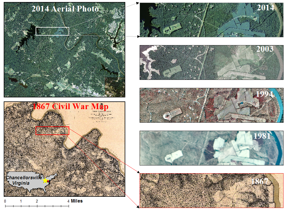
Old paper map vs modern aerial photo.png - Bnurs

Courthouse Drone.png - Sbasinger

WestChincoteague2021.jpg - Mbinebri

View of Virginia from the Air (October 2023) 02.jpg - DiscoA340

View of Virginia from the Air (October 2023) 03.jpg - DiscoA340

View of Virginia from the Air (October 2023) 01.jpg - DiscoA340

Virginia Credit Union Stadium in 2023.jpg - Quintinsoloviev

Grundy2005.jpg - Illegitimate Barrister

Danville, VA aerial.jpg - 痛

NAAS Chincoteague VA NAN9-48.jpg - Cobatfor