Wikimedi'Òc
Modes d'emploi

Cet album fait partie des albums
Cet album photos contient les sous-albums suivants :


RedRiverGrandForks1997.jpg - MECU

Aerial photo of Harlow, North Dakota.png - Dcmacnut

Aerial photo of Saint Michael, North Dakota.png - Dcmacnut
Aerial photo of Tokio, North Dakota.png - Dcmacnut

Aerial photo of Fort Totten, North Dakota.png - Dcmacnut

Fargo ND Downtown overview.jpg - Flickr upload bot

Aerial photograph of Temvik, North Dakota.png - Dcmacnut
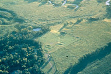
Menoken Indian Village Site.jpg - Cropbot
Flooded areas along the Souris River Basin.jpg - File Upload Bot (Magnus Manske)

Temporary emergency levees hold flood water back along the Souris River Basin.jpg - File Upload Bot (Magnus Manske)

Water floods areas along the Souris River Basin.jpg - File Upload Bot (Magnus Manske)

North Dakota flood response, North Dakota National Guard.jpg - File Upload Bot (Magnus Manske)
Aerial view of flooding in a Minot, N.D., residential area.jpg - File Upload Bot (Magnus Manske)

North Dakota flood relief (Image 4 of 8).jpg - File Upload Bot (Magnus Manske)

ND National Guard is patrolling Minot flood areas (Image 2 of 3).jpg - File Upload Bot (Magnus Manske)

North Dakota flooding; parts of Minot, N.D.overwhelmed by floodwaters.jpg - File Upload Bot (Magnus Manske)
North Dakota flooding; from the air, large piles of debris in Minot, N.D..jpg - File Upload Bot (Magnus Manske)

Defense.gov photo essay 110602-A-LI073-004.jpg - Slick-o-bot

Defense.gov photo essay 110602-A-LI073-003.jpg - Slick-o-bot

Des Lacs River.jpg - Glorioussandwich

The University of Mary (Bismarck Campus).jpg - Ajholgard

Dickinson-nd-dhs-1984.jpg - FastilyClone
Dynamic Potholes (16903794662).jpg - Holly Cheng

Tatanka Wind Farm (16697676027).jpg - Holly Cheng

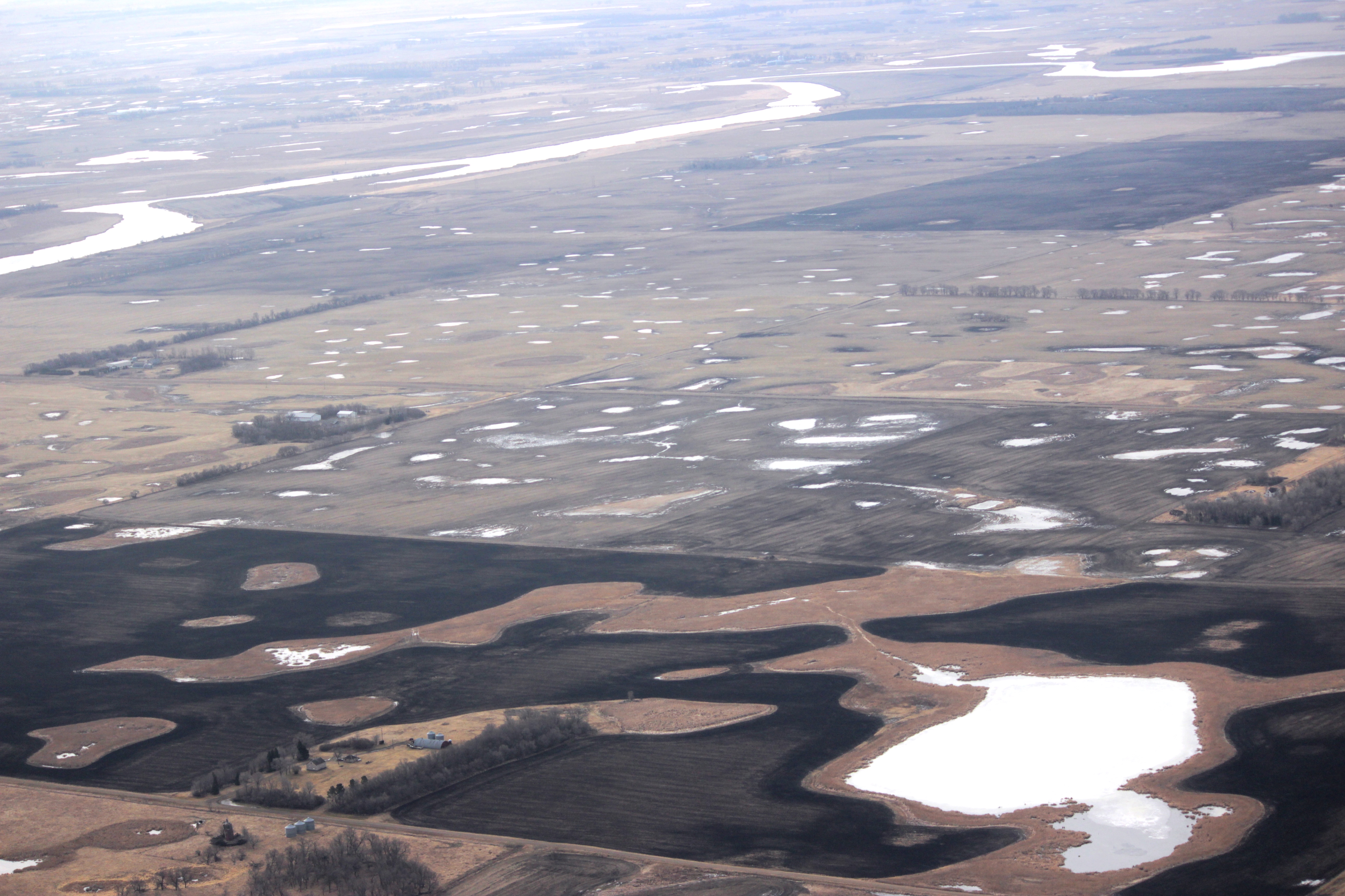
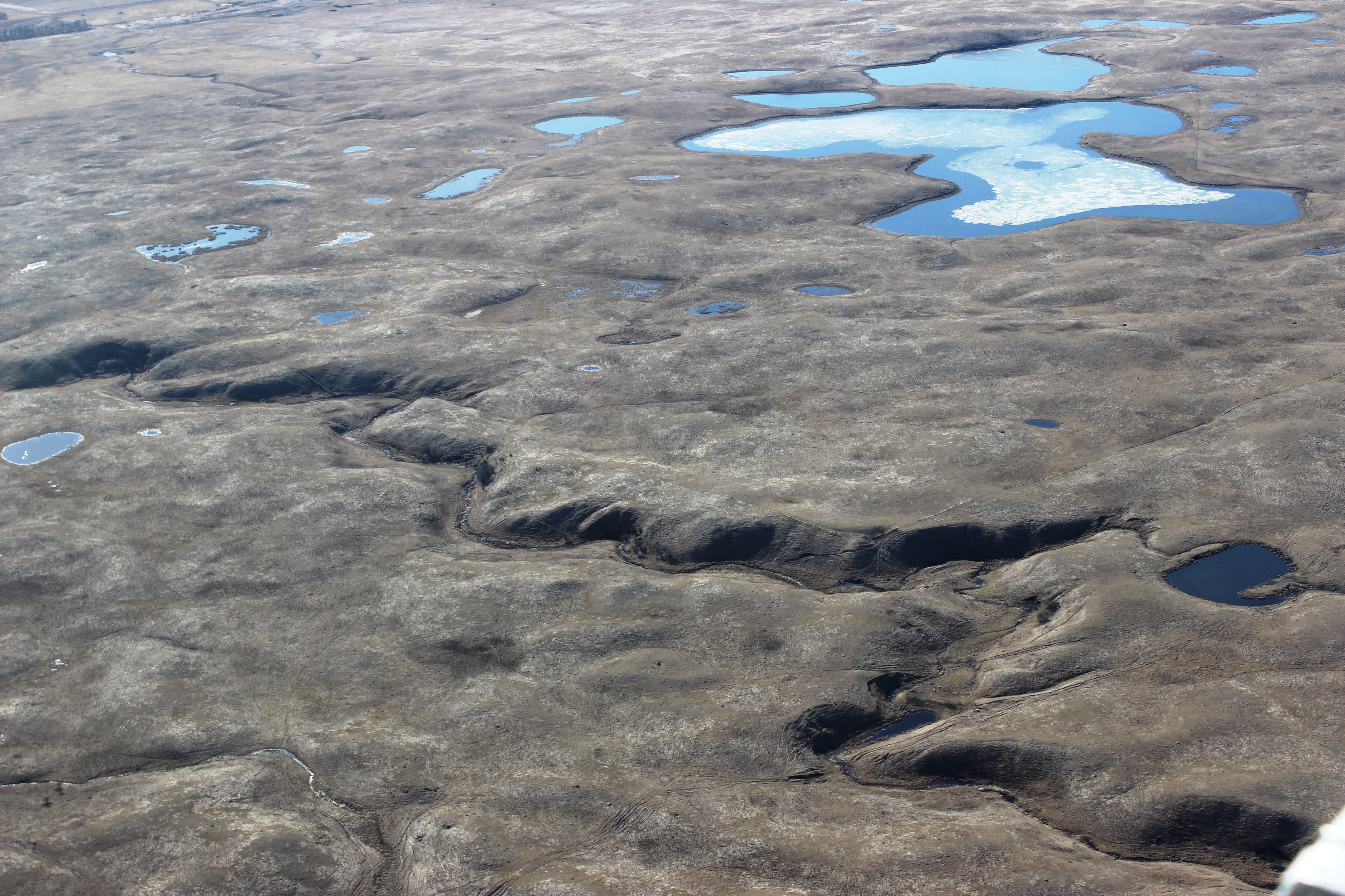
Prairie Potholes (16718851149).jpg - Holly Cheng

Prairie Potholes (12642422074).jpg - Holly Cheng

Prairie Potholes (12642374104).jpg - Holly Cheng

Pattern Tile Drainage (16718838799).jpg - Holly Cheng

Pattern Tile Drainage (16697662067).jpg - Holly Cheng

Prairie Potholes (16824912778).jpg - SteinsplitterBot

Ice Break Up (16392531013).jpg - Holly Cheng

Drained vs. Undrained (16903980581).jpg - Holly Cheng
Topography of the Missouri Coteau and Slope (16824922638).jpg - Holly Cheng

Missouri Coteau Potholes (17011808281).jpg - Holly Cheng

Snow Geese against a Pothole Jigsaw Puzzle (16285035103).jpg - Holly Cheng

Snow Goose Flock as Viewed from Above (16717545700).jpg - Holly Cheng

McVille, ND 58254 - panoramio.jpg - Panoramio upload bot

Aerial view of large nesting island (5283027434).jpg - Holly Cheng

Larger nesting island at Chase Lake NWR (5283028840).jpg - Holly Cheng

Aerial view of smaller nesting island (5282429701).jpg - Holly Cheng

Aerial view of main island (5805269455).jpg - Holly Cheng

Aerial view of Chase Lake National Wildlife Refuge (5805828980).jpg - Holly Cheng

Aerial view of smaller nesting islands (5805269341).jpg - Holly Cheng

Fargo, ND - Aerial Facing East (43610135662).jpg - SounderBruce

Hamilton ND 05.jpg - DakotaDocMartin

Aerial view of Pembina Port of Entry in North Dakota (Credit Customs and Border Protection).jpg - Geo Swan

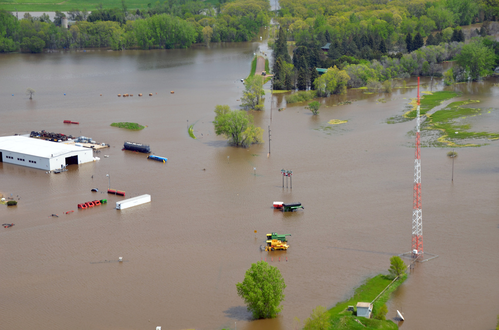
Flooding - Velva, N. D. , June 26, 2011 -- Highway 52 from Velva to Minot was cut off due to flooding from the Souris River. Burleigh and Ward counties were designated a federal dis - DPLA - 93910428980bee9f44c806cd0a803c83.jpg - DPLA bot

Flooding - Velva, N. D. , June 26, 2011 -- Road washed out due to the overflowing Souris River. Burleigh and Ward counties were designated a federal disaster area, opening the way f - DPLA - ea14711a23b5001c52e25cafbe28610e.jpg - DPLA bot

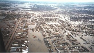
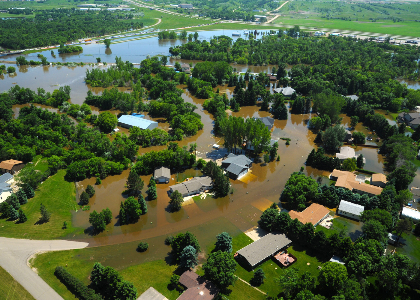
(Severe Storms-Flooding) Grand Forks, ND April 1, 1997 - Aerial of a Grand Forks neighborhood still flooded after the Red River came though town. FEMA-Mike Rieger - DPLA - 919038303cc3579ecf862b455169a659.jpg - DPLA bot

Baldhill Dam NFH (49525886308).jpg - Ltn12345
Garrison, North Dakota as seen from the air, 1920.tif - Infrogmation