Wikimedi'Òc
Modes d'emploi

Cet album fait partie des albums
Cet album photos contient les sous-albums suivants :


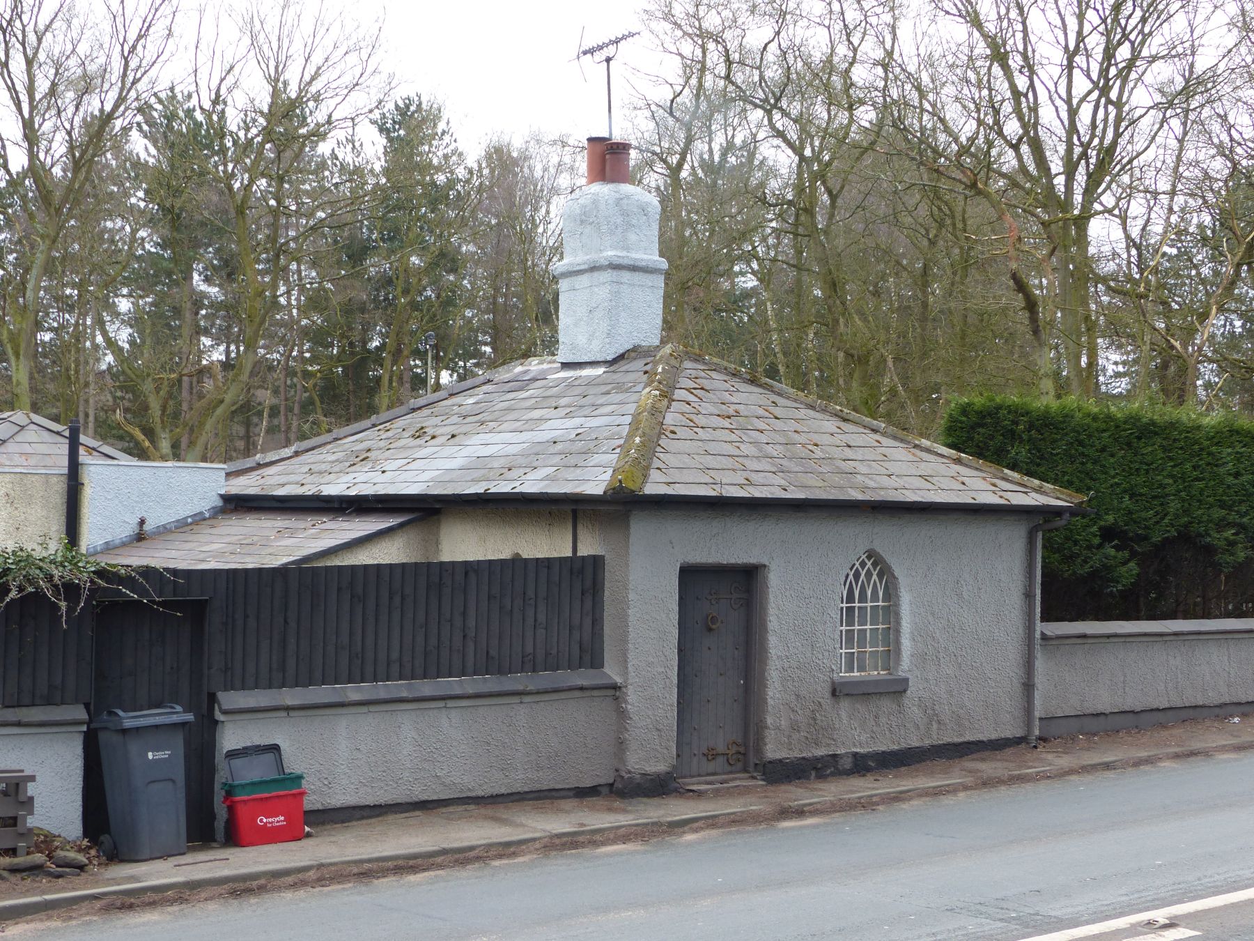
Cost cutting at the county council - geograph.org.uk - 6314851.jpg - GeographBot

Refreshments ahead! - geograph.org.uk - 2421935.jpg - GeographBot

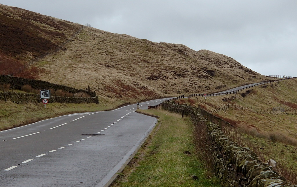
A54 west of Buxton.jpg - Demax

UK road A54.svg - HWY Shield Bot

A54 road 1.JPG - Benkid77

A54 Kelsall bypass.JPG - Benkid77

A54 Chester Road, near Kelsall.JPG - Benkid77

UK road A54.PNG - BotMultichill

A54 - geograph.org.uk - 55433.jpg - GeographBot

Mile Post on the A54 - geograph.org.uk - 34709.jpg - GeographBot

New Village Chinese Restaurant - geograph.org.uk - 107918.jpg - GeographBot

A54 from Axe Edge Moor - geograph.org.uk - 161374.jpg - GeographBot

A54, Oakmere Road, Winsford - geograph.org.uk - 192775.jpg - GeographBot

Allgreave Methodist Chapel - geograph.org.uk - 194009.jpg - GeographBot

Subway under A54, Winsford - geograph.org.uk - 192838.jpg - GeographBot

Smithy Green - geograph.org.uk - 210978.jpg - GeographBot

The Rose and Crown - geograph.org.uk - 212415.jpg - GeographBot

Little Budworth Methodist Church - geograph.org.uk - 286967.jpg - GeographBot

Milepost Stanthorne Near Winsford - geograph.org.uk - 288729.jpg - GeographBot

The Rose and Crown - geograph.org.uk - 504980.jpg - GeographBot

The road to Buxton - geograph.org.uk - 600657.jpg - GeographBot

Start of Danebower Hollow Path - geograph.org.uk - 750428.jpg - GeographBot

A54 looking towards Buxton - geograph.org.uk - 977347.jpg - GeographBot

A54 to Buxton - geograph.org.uk - 972781.jpg - GeographBot

A54 leaving Holmes Chapel - geograph.org.uk - 1184849.jpg - GeographBot

A54 Macclesfield Main Road - geograph.org.uk - 1518824.jpg - GeographBot

Sharp bend on the A54 at Allgreave - geograph.org.uk - 1587701.jpg - GeographBot

New Life Pentecostal Church, Winsford - geograph.org.uk - 1711410.jpg - GeographBot

A54, Kelsall - geograph.org.uk - 1750572.jpg - GeographBot

Congleton 2438.JPG - ClemRutter

Congleton Park Mill 2532.JPG - ClemRutter

A54 Middlewich Road at Stanthorne, Cheshire.jpg - Rept0n1x

A54 Middlewich Road at Stanthorne (2).jpg - Rept0n1x

Kelsall Lodge, Delamere.JPG - Dave.Dunford
The Old Toll House, Delamere.JPG - Dave.Dunford

Reading, UK - panoramio (54).jpg - Panoramio upload bot

Milepost 5 miles from Leek.jpg - Peter I. Vardy

Milepost 6 miles from Leek.jpg - Peter I. Vardy

Milepost near Upper Hulme.jpg - Peter I. Vardy

Allgreave Methodist Church - geograph.org.uk - 2542254.jpg - GeographBot

Approaching the A54 - geograph.org.uk - 2560694.jpg - GeographBot

The Rose and Crown, Allgreave - geograph.org.uk - 2587609.jpg - GeographBot

Lay-by and signs, A54 near Sparbent. - geograph.org.uk - 2620280.jpg - GeographBot

Double bend, A54 west of Cut-thorn Hill - geograph.org.uk - 2620506.jpg - GeographBot

The A54 west of Tarvin Bridge - geograph.org.uk - 2663458.jpg - GeographBot

The Copper Kettle on the A54 (Tarvin bypass) - geograph.org.uk - 2663467.jpg - GeographBot

Tarvin bypass, car park for light industry on the right - geograph.org.uk - 2663887.jpg - GeographBot

Tarvin Bridge on the A54 - geograph.org.uk - 2663890.jpg - GeographBot

Tarvin Sands, A54 junction - geograph.org.uk - 2663894.jpg - GeographBot

The A54 (Holme Street) at Tarvin - geograph.org.uk - 2762629.jpg - GeographBot

The A54 (Holme Street) at Tarvin - geograph.org.uk - 2762649.jpg - GeographBot

The A54 at Tarvin - geograph.org.uk - 2762696.jpg - GeographBot

Road junction on the A54 (Kelsall Road) - geograph.org.uk - 2762725.jpg - GeographBot

Road junction on the A54 (Kelsall Road) - geograph.org.uk - 2762738.jpg - GeographBot

Rose and Crown PH - geograph.org.uk - 2970885.jpg - GeographBot

Rose and Crown, Allgreave - geograph.org.uk - 2974777.jpg - GeographBot

Approaching the A54 at Holt - geograph.org.uk - 3029898.jpg - GeographBot
A54 towards Buxton - geograph.org.uk - 3239067.jpg - GeographBot

Old Milepost by the A54, Middlewich Road, Holmes Chapel (geograph 5622808).jpg - Sic19

Old Milepost by the A54, Kelsall Road, Tarvin (geograph 5622803).jpg - Sic19

Old Milepost by the A54 on Kelsall Hill (geograph 5622713).jpg - Sic19

Old Milepost by the A54, east of Tarvin roundabout (geograph 5622712).jpg - Sic19

Old Milepost by the A54, west of Cluelow Cross (geograph 5622679).jpg - Sic19

Old Milepost by the A54 at Hammerton Moss (geograph 5622678).jpg - Sic19

Old Milepost by the A54, north of Allgreave (geograph 5622677).jpg - Sic19

Old Milepost by the A54, below Birchenough Hill (geograph 5622676).jpg - Sic19

Old Milepost by the A54, East of Bosley Locks (geograph 5362247).jpg - Sic19

Old Milepost by the A54, west of Ladmanlow (geograph 5623750).jpg - Sic19

Old Milepost by the A54, west of Canholes (geograph 5623749).jpg - Sic19

Old Milepost by the A54 in Danebower Hollow (geograph 5622674).jpg - Sic19

Old Milepost by the A54, south of Sparbent (geograph 5622675).jpg - Sic19

The Cat & Fiddle Road - geograph.org.uk - 3507409.jpg - GeographBot

A54 Road near Cheshire Knowl - geograph.org.uk - 3842124.jpg - GeographBot

16–20 Rood Hill, Congleton.jpg - Dave.Dunford

Raised pavement on Rood Hill, Congleton 02.jpg - Dave.Dunford

Raised pavement on Rood Hill, Congleton 01.jpg - Dave.Dunford

82–90 Mill Street, Congleton.jpg - Dave.Dunford

The Rose and Crown, Allgreave - geograph.org.uk - 4460572.jpg - GeographBot

Chapel - geograph.org.uk - 5072413.jpg - GeographBot

Buxton bus on The Cat and Fiddle Road - geograph.org.uk - 5077415.jpg - GeographBot

The Rose & Crown, Allgreave - geograph.org.uk - 5441664.jpg - GeographBot

The A54 approaching the Tarvin Roundabout - geograph.org.uk - 5536224.jpg - GeographBot