Wikimedi'Òc
Modes d'emploi

Cet album fait partie des albums
Cet album photos contient les sous-albums suivants :


A488 in mining country near Moorswood - geograph.org.uk - 4272372.jpg - GeographBot

A488 near Heath Mynd Farm - geograph.org.uk - 5900543.jpg - GeographBot

A488 at Pitcholds Farm - geograph.org.uk - 5900538.jpg - GeographBot

A488 bend near More Quarry - geograph.org.uk - 5900541.jpg - GeographBot

A488 approaching Lydham - geograph.org.uk - 2702718.jpg - GeographBot

A488 approaching Park cottages - geograph.org.uk - 2703864.jpg - GeographBot

A488 at Bromleysmill junction - geograph.org.uk - 5900534.jpg - GeographBot

A488 at Park Cottages - geograph.org.uk - 5900530.jpg - GeographBot

The A488 approaching Lydham from Shropshire Way - geograph.org.uk - 7430004.jpg - GeographBot

The White Horse, Clun - geograph.org.uk - 565768.jpg - GeographBot

The White Horse Inn, The Square, Clun - geograph.org.uk - 6957022.jpg - GeographBot

The White Horse - geograph.org.uk - 398226.jpg - GeographBot

Market square Clun (1293843).jpg - Jason.nlw

UK road A488.PNG - BotMultichill

Hold up in Hanwood - geograph.org.uk - 122225.jpg - GeographBot

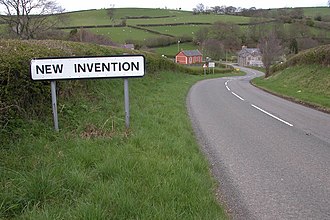
New Invention - geograph.org.uk - 162087.jpg - GeographBot

Junction of A5 and A488 - geograph.org.uk - 195481.jpg - GeographBot

Approaching Lydham on the A488 - geograph.org.uk - 220029.jpg - GeographBot
A488 at Edgebold - geograph.org.uk - 410048.jpg - GeographBot

Bus Shelter near Halston - geograph.org.uk - 419749.jpg - GeographBot

Halston - geograph.org.uk - 419761.jpg - GeographBot

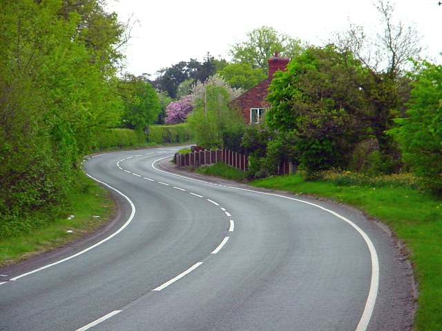
The A488 - geograph.org.uk - 426361.jpg - GeographBot

The A488 and Land Rover garage - geograph.org.uk - 423148.jpg - GeographBot

The Bleddfa Centre for the Creative Arts - geograph.org.uk - 422293.jpg - GeographBot

A488 at Appletree - geograph.org.uk - 652405.jpg - GeographBot

The A488 at Ploxgreen - geograph.org.uk - 652725.jpg - GeographBot

Toll House Farm - geograph.org.uk - 652416.jpg - GeographBot
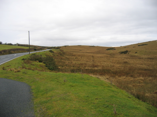
Penybont Common - geograph.org.uk - 660790.jpg - GeographBot

Wootton House from lay-by on A488 - geograph.org.uk - 679490.jpg - GeographBot

The Bus stop - geograph.org.uk - 687854.jpg - GeographBot

Salop Milestone - geograph.org.uk - 692896.jpg - GeographBot

Milestone in Clun - geograph.org.uk - 740595.jpg - GeographBot

Stream under the A488 - geograph.org.uk - 763965.jpg - GeographBot

A488 climbing out of the Lugg Valley - geograph.org.uk - 811297.jpg - GeographBot

A488 to Monaughty - geograph.org.uk - 811286.jpg - GeographBot

Station Road, Knighton - geograph.org.uk - 814462.jpg - GeographBot

Hivron turning - geograph.org.uk - 867328.jpg - GeographBot

Wood above Dol-llugan - geograph.org.uk - 867424.jpg - GeographBot

A488 Bishops Castle - geograph.org.uk - 873239.jpg - GeographBot

Climbing out of Knighton - geograph.org.uk - 876210.jpg - GeographBot

The Hope Valley and the A488 - geograph.org.uk - 892455.jpg - GeographBot

Monaughty lay by - geograph.org.uk - 909867.jpg - GeographBot

A488, Fishpools - geograph.org.uk - 910018.jpg - GeographBot

A488 south of Colebatch - geograph.org.uk - 1113000.jpg - GeographBot

New Street, Shrewsbury - geograph.org.uk - 1197317.jpg - GeographBot

A488 at Rockhill - geograph.org.uk - 1247387.jpg - GeographBot

Give Way at the A488 - geograph.org.uk - 1247385.jpg - GeographBot

Knighton, bridge - geograph.org.uk - 1240792.jpg - GeographBot

Nobold Lane - geograph.org.uk - 1294602.jpg - GeographBot

Clun Bridge and church - geograph.org.uk - 1502931.jpg - GeographBot

Town Hall and the White Horse Inn, Clun - geograph.org.uk - 1502927.jpg - GeographBot

A488 descending Colstey Bank - geograph.org.uk - 1563614.jpg - GeographBot

A488 descending Colstey Bank - geograph.org.uk - 1563622.jpg - GeographBot

Junction of Bridge Street and High Street - geograph.org.uk - 1594410.jpg - GeographBot

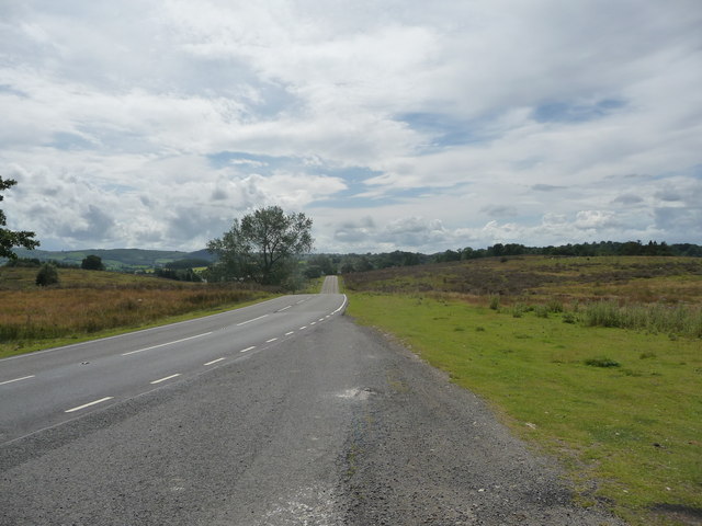
Lay-by on the A488 road north of Penybont - geograph.org.uk - 3064217.jpg - GeographBot
Part of the A488 road north of Penybont - geograph.org.uk - 3064221.jpg - GeographBot

Old Milestone by the A488, The Pines, Bishop's Castle Parish (geograph 6038033).jpg - Sic19

Old Milestone by the A488, near Lydham Manor, Lydham parish (geograph 6050935).jpg - Sic19

Old Milestone by the A488, near Wootton House, Clun parish (geograph 6068572).jpg - Sic19

A448 Approaching Littlewood Green Crossroads - geograph.org.uk - 3550173.jpg - GeographBot

A488 at Hope junction - geograph.org.uk - 5900554.jpg - GeographBot

Bleddfa on A488 - geograph.org.uk - 3134094.jpg - GeographBot

The A488 and Hundred House Inn through Bleddfa, Powys - geograph.org.uk - 6156687.jpg - GeographBot