Wikimedi'Òc
Modes d'emploi

Cet album fait partie des albums
Cet album photos contient les sous-albums suivants :


The old Bull on the High Street - geograph.org.uk - 2496129.jpg - GeographBot

Entrance to the Bull - geograph.org.uk - 2496124.jpg - GeographBot

Former coaching inn - geograph.org.uk - 2111781.jpg - GeographBot

Entrance to the Inn - geograph.org.uk - 2496120.jpg - GeographBot

The former Red Lion - geograph.org.uk - 2617917.jpg - GeographBot

^1 High Street (A4130) from Watlington Street (B481) - geograph.org.uk - 5332018.jpg - GeographBot

UK road A4130.PNG - BotMultichill

Wallingford Bridge - geograph.org.uk - 1727164.jpg - File Upload Bot (Magnus Manske)

The Cottage, Bix - geograph.org.uk - 557647.jpg - GeographBot

Towards the bridge - geograph.org.uk - 762385.jpg - GeographBot

All ready for the tarmac - geograph.org.uk - 837943.jpg - GeographBot

Almost done - geograph.org.uk - 836685.jpg - GeographBot

Bypass side - geograph.org.uk - 837987.jpg - GeographBot

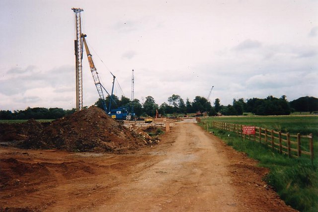
Construction underway - geograph.org.uk - 836679.jpg - GeographBot

Hardcore down - geograph.org.uk - 836653.jpg - GeographBot
It's a long road - geograph.org.uk - 836647.jpg - GeographBot

Kerbs going in - geograph.org.uk - 833955.jpg - GeographBot

Landscaping begins - geograph.org.uk - 835100.jpg - GeographBot

More infill - geograph.org.uk - 832101.jpg - GeographBot

Nearly done - geograph.org.uk - 832148.jpg - GeographBot

Open at last - geograph.org.uk - 836780.jpg - GeographBot

Out for a Sunday stroll - geograph.org.uk - 833991.jpg - GeographBot
Road to the river - geograph.org.uk - 832074.jpg - GeographBot

Second span in - geograph.org.uk - 832760.jpg - GeographBot

Taking shape - geograph.org.uk - 835060.jpg - GeographBot

The First layer - geograph.org.uk - 836670.jpg - GeographBot

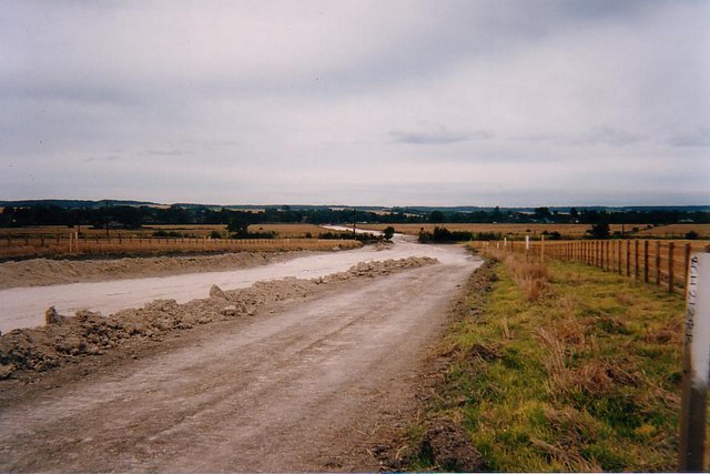
The Wallingford road just became shorter. - geograph.org.uk - 835087.jpg - GeographBot

The new path - geograph.org.uk - 835479.jpg - GeographBot

Towards the Wallingford road - geograph.org.uk - 835079.jpg - GeographBot

Towards the allotments - geograph.org.uk - 835084.jpg - GeographBot

Week or so later - geograph.org.uk - 831919.jpg - GeographBot
The Bridge ahead - geograph.org.uk - 841172.jpg - GeographBot

Next stop Wallingford - geograph.org.uk - 866538.jpg - GeographBot

Road through the cutting - geograph.org.uk - 866533.jpg - GeographBot

The last bit - geograph.org.uk - 867265.jpg - GeographBot

Train Rides - geograph.org.uk - 866519.jpg - GeographBot

Where the spoil heap was - geograph.org.uk - 867252.jpg - GeographBot

Winterbrook roundabouts ahead - geograph.org.uk - 866505.jpg - GeographBot

The A4130, Hurley - geograph.org.uk - 988417.jpg - GeographBot

The A4130, Hurley - geograph.org.uk - 988422.jpg - GeographBot

The A4130, Hurley - geograph.org.uk - 988423.jpg - GeographBot

Northfield End, Henley - geograph.org.uk - 1065444.jpg - GeographBot

The A4130, Bix - geograph.org.uk - 1067377.jpg - GeographBot

Culham Court Lodge - geograph.org.uk - 1352822.jpg - GeographBot

The Obelisk at the junction of the A4130 and A4155 - geograph.org.uk - 1403931.jpg - GeographBot
Towards the Wallingford road - geograph.org.uk - 1502103.jpg - GeographBot

Houses over the way - geograph.org.uk - 1514721.jpg - GeographBot
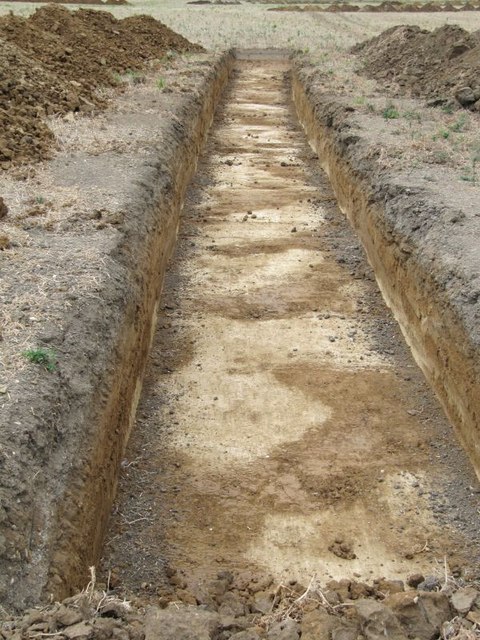
Trench excavation at Winterbrook, Oxfordshire.jpg - GeographBot

No set pattern - geograph.org.uk - 1514714.jpg - GeographBot

Towards the roundabout - geograph.org.uk - 1514732.jpg - GeographBot
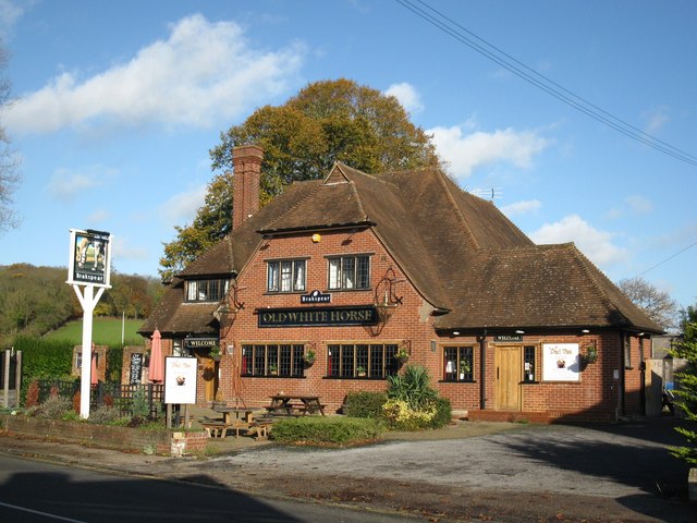
Old White Horse - geograph.org.uk - 1588770.jpg - GeographBot

Cholsey and Wallingford Railway level crossing over Wallingford Bypass - geograph.org.uk - 2088822.jpg - File Upload Bot (Magnus Manske)

Nettlebed BullInn.jpg - Motacilla

Nettlebed HighSt 22.jpg - Motacilla

Nettlebed HighSt 4–12.jpg - Motacilla

Nettlebed HighSt 1–3 north.jpg - Motacilla

Nettlebed HighSt 7.jpg - Motacilla

Nettlebed HighSt 25.jpg - Motacilla

Nettlebed HighSt 9–11.jpg - Motacilla

Nettlebed HighSt 13–17.jpg - Motacilla

Mercedes-Benz Citaro RF56 OXF Nettlebed.jpg - Motacilla

Nuffield BusStop sign.jpg - Motacilla

Nuffield BusShelter SSW October.jpg - Motacilla

Nuffield BusShelter tablet.jpg - Motacilla
A4130, Milton - geograph.org.uk - 2029944.jpg - GeographBot

Milestone on north side of A4130 at Haddon Hill - geograph.org.uk - 2322279.jpg - GeographBot

Looking down the island - geograph.org.uk - 2634433.jpg - GeographBot

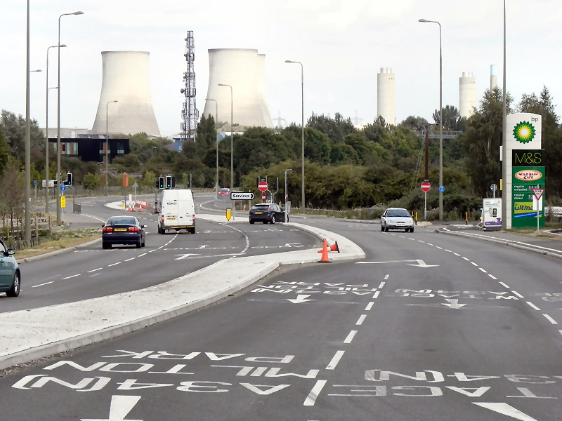
A4130 junction with Trent Road - geograph.org.uk - 2803817.jpg - GeographBot

Old Milestone (geograph 6115191).jpg - Sic19

Old Milestone (geograph 6114953).jpg - Sic19

Old Milestone (geograph 6114584).jpg - Sic19

Old Milestone (geograph 6114552).jpg - Sic19

Old Milestone by the A4130, east of Didcot (geograph 5622445).jpg - Sic19

Old Milestone by the A4130 in Didcot (geograph 5622444).jpg - Sic19

Old Milestone by the A4130, west of Remenham Hill (geograph 5622344).jpg - Sic19

Traffic lights for junction of new housing estate road and the A4130 - geograph.org.uk - 3402595.jpg - GeographBot

A4130 - geograph.org.uk - 5960818.jpg - GeographBot

A4130 - geograph.org.uk - 5997827.jpg - GeographBot

USATC S160 No6046 TnT with 08507 passing over Wallingford Bypass Level Crossing taken during the Cholsey & Wallingford Railway 2021 Polar Express event.jpg - LostplanetKD73

Level crossing on A4130 Bosley Way - geograph.org.uk - 6191037.jpg - GeographBot