Wikimedi'Òc
Modes d'emploi

Cet album fait partie des albums
Cet album photos contient les sous-albums suivants :


Flooding at the dune slack area, Stevenston Beach LNR.jpg - Rosser1954

Sentinel Mapping of Flood Hit Areas MOD 45157032.jpg - Fæ
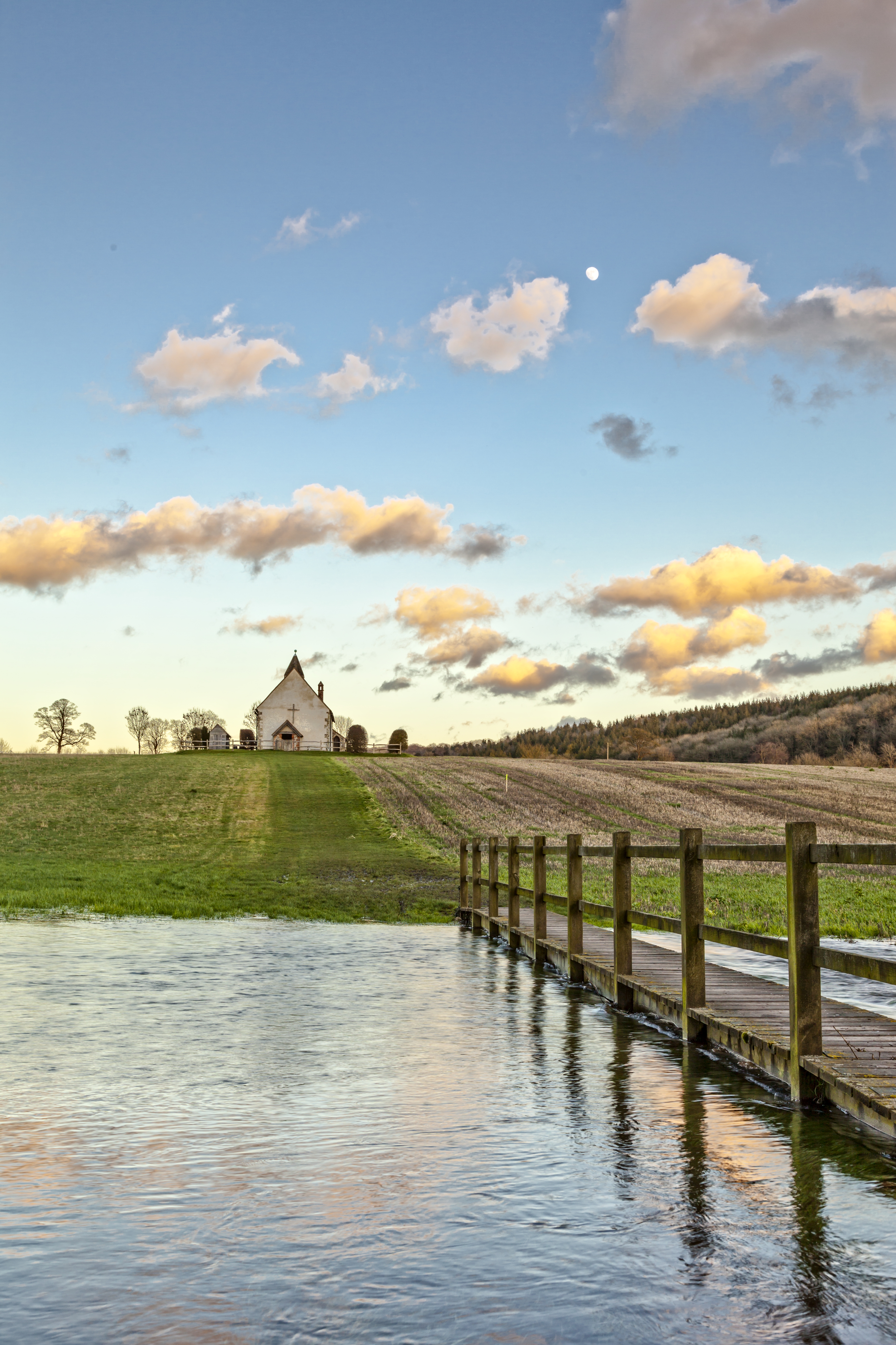
Flood at St Huberts.jpg - Pjs28jack

Flooded road at Averley, Baltasound - geograph.org.uk - 3823469.jpg - GeographBot

Diglis Top lock - Worcester flooding 2014 - geograph.org.uk - 3849654.jpg - GeographBot
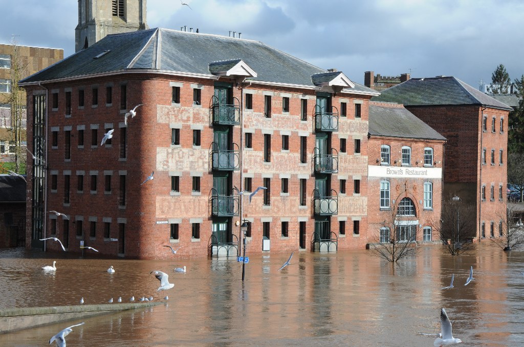
Flooded converted warehouses - geograph.org.uk - 3851865.jpg - GeographBot

View across the flooded Severn - geograph.org.uk - 3852275.jpg - GeographBot

Floods on Norwick Meadows - geograph.org.uk - 4237969.jpg - GeographBot