×

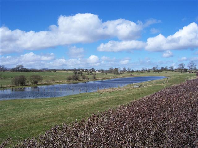
Carlisle flooded.jpg - Storkk

Flooded field headland, Testerton, Norfolk - geograph.org.uk - 123721.jpg - GeographBot

Flooded Ouse - geograph.org.uk - 146566.jpg - GeographBot

Tide's In - geograph.org.uk - 130897.jpg - GeographBot

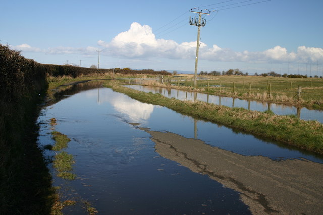
Localised flooding. - geograph.org.uk - 143763.jpg - GeographBot

Floods at Ozendyke Ings - geograph.org.uk - 159372.jpg - GeographBot

Localized Flooding, Whirley Grove - geograph.org.uk - 158368.jpg - GeographBot

The road at High Tide. - geograph.org.uk - 160425.jpg - GeographBot

Flooded lawn south of the Lymington River, Brockenhurst, New Forest - geograph.org.uk - 172496.jpg - GeographBot

After the downpour - geograph.org.uk - 195257.jpg - GeographBot

River Meden in Flood - geograph.org.uk - 175601.jpg - GeographBot

Roll those trousers up... shoes and socks off... - geograph.org.uk - 173095.jpg - GeographBot

Spring flooding alongside Ober Water, New Forest - geograph.org.uk - 172466.jpg - GeographBot

Spring flooding alongside Ober Water, New Forest - geograph.org.uk - 172469.jpg - GeographBot

The River Rye in flood May 2006 from Howe Bridge (A169) - geograph.org.uk - 173708.jpg - GeographBot

Flooding on the A65 between Gargrave and Skipton - geograph.org.uk - 213780.jpg - GeographBot

River Wharfe, Wetherby - geograph.org.uk - 232467.jpg - GeographBot

River Calder near the Stubbing Wharf pub, Mytholm - geograph.org.uk - 268003.jpg - GeographBot

River Glyme in flood Cleveley Oxfordshire - geograph.org.uk - 286820.jpg - GeographBot

Boat Inn - geograph.org.uk - 292026.jpg - GeographBot

The Severn in flood at Ironbridge - geograph.org.uk - 292037.jpg - GeographBot

View across the flooded Quarry to the town - geograph.org.uk - 1478687.jpg - GeographBot
❮
❯


