Wikimedi'Òc
Modes d'emploi

Cet album fait partie des albums
Cet album photos contient les sous-albums suivants :


277 of 'Palästina. Ein Sommerausflug ... Mit Illustrationen und einer Karte' (11216989706).jpg - Artix Kreiger 2

Historical hand-atlas, illustrated, containing large scale copper plate maps of each state and territory of the United States, and the provinces of Canada, together with a complete reference map LOC 2008622013-8.jpg - Fæ

Historical hand-atlas, illustrated, containing large scale copper plate maps of each state and territory of the United States, and the provinces of Canada, together with a complete reference map LOC map56000501-10.jpg - Fæ

A General History for Colleges and High Schools - Map 3 Part 2.png - Sp1nd01

Kingdoms of Lydia, Media, Cilicia, and later Babylonia.png - Editor at Large

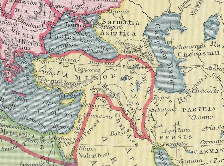
Brue, A.H.; Levasseur, E. 1875. Asie Mineure, Armenie, Syrie, Mesopotamie (A).jpg - Geagea

Brue, Adrien Hubert, Asie-Mineure, Armenie, Syrie, Mesopotamie, Caucase. 1839. (A).jpg - Geagea
Johnston, Alexander Keith (1804-1871). Turkey in Asia, Transcaucasia. 1861 (C).jpg - Geagea

Pinkerton, John. Turkey in Asia. 1813 (D).jpg - Geagea

Darton, William. Turkey in Asia. 1811 (G).jpg - Geagea
Butler Obris Veteribus Notus A.jpg - Geagea

Pierre Du Val. Expeditionis Alexandri Magni Per Europam, Asiam et Africam. 1654. E.jpg - Geagea

General outline of the Authors route as adapted to the second section of part the second of these... (2674184559).jpg - File Upload Bot (Magnus Manske)

MACCOUN(1899) p113 MESOPOTAMEAN EMPIRES.jpg - Metilsteiner

MACCOUN(1899) p029 THE ERALY EAST.jpg - Metilsteiner

BOETTGER(1859) TAFEL 2 - Östliches Mittelmeer.jpg - Metilsteiner
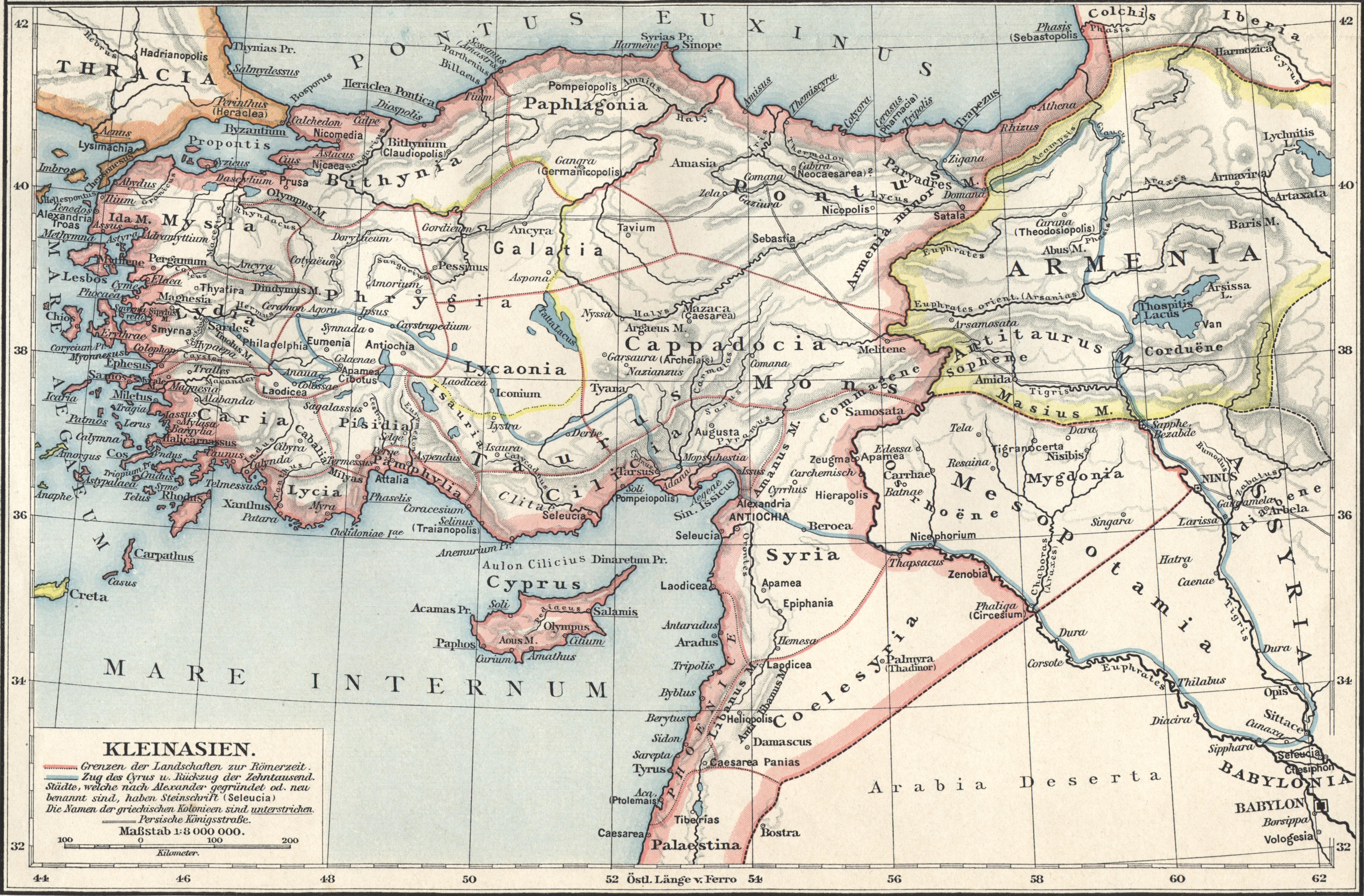
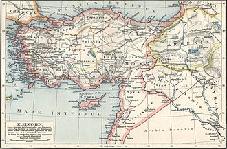
Putzger Kleinasien.jpg - Oltau

Bible dictionary for the use of Bible classes, schools and families (1851) (14803710993).jpg - Fæ

Bible dictionary for the use of Bible classes, schools and families (1851) (14597207628).jpg - Fæ

Denkschriften der Kaiserlichen Akademie der Wissenschaften, Mathematisch-Naturwissenschaftliche Classe (1893) (20233825863).jpg - Fæ

Denkschriften der Kaiserlichen Akademie der Wissenschaften, Mathematisch-Naturwissenschaftliche Classe (1893) (20232192954).jpg - Fæ

A dictionary of the Bible.. (1887) (14781902895).jpg - SteinsplitterBot

A dictionary of the Bible.. (1887) (14595257738).jpg - SteinsplitterBot

The archæology of the cuneiform inscriptions (1908) (14596730287).jpg - SteinsplitterBot

The ancient history of the Egyptians, Carthaginians, Assyrians, Babylonians, Medes and Persians, Macedonians, and Grecians (1768) (14592016458).jpg - Fæ

The Holy Bible according to the Authorized version - with notes, explanatory and practical; taken principally from the most eminent writers of the United Church of England and Ireland, together with (14792881883).jpg - SteinsplitterBot

Histoire ancienne des Égyptiens, des Carthaginois, des Assyriens, des Babyloniens, des Medes et des Perses, des Macedoniens, des Grecs (1731) (14586953529).jpg - Fæ

The history of Christianity- consisting of the life and teachings of Jesus of Nazareth; the adventures of Paul and the apostles; and the most interesting events in the progress of Christianity, from (14582118947).jpg - SteinsplitterBot

The apostolic age; its life, doctrine, worship and polity (1899) (14782062255).jpg - Fæ

Brockhaus' Konversations-Lexikon (1892) (14778047681).jpg - SteinsplitterBot

The Holy Bible containing the Old and New Testaments (1896) (14763140771).jpg - SteinsplitterBot

The Holy Bible containing the Old and New Testaments (1896) (14579678139).jpg - SteinsplitterBot

General Outine of the Authors Route, as adapted to the second edition of these Travels - Clarke Edward Daniel - 1813.jpg - Gts-tg

General outline of the author's route - Clarke Edward Daniel - 1824.jpg - Gts-tg
General Outline of the Authors Route through, Greece, Macedonia, Thrace, Bulgaria, Walachia, Transylvania, and Hungary - Clarke Edward Daniel - 1816.jpg - Gts-tg

Karte Justi Vorderasien 1879 gesamt.png - Katharinaiv
Carte physique and politique de la Syrie, pour servir a l'histoire des conquetes du General Bonaparte en Orient. Faite en Kaire en l'an 8, par Charles Paultre, Off.ier d'Art.rie Legere, Aide-de-Camp du General Kleber, Comm.r RMG F3838.tiff - Fæ

16 of 'Footsteps of our Lord and his Apostles in Syria, Greece and Italy, etc. (With illustrations and plates.)' (11037226876).jpg - FlickreviewR 2

639 of 'Das Mittelmeer. Eine Darstellung seiner physischen Geographie nebst andern geographischen, historischen und nautischen Untersuchungen ... Mit 6 Karten und 4 Holzschnitten' (11057123304).jpg - Artix Kreiger 2

201 of 'How to visit the Mediterranean. A guide book to Jerusalem, Cairo, Constantinople, Athens ... Edited by H. S. Lunn' (11238080486).jpg - FlickreviewR 2

585 of 'The Cruise of Her Majesty's Ship “Bacchante,” 1879-1882. Compiled from the private journals, letters and note-books of Prince Albert Victor and Prince George of Wales, with additions by J. N. Dalton' (11306337786).jpg - Artix Kreiger 2

796 of 'The Cruise of Her Majesty's Ship “Bacchante,” 1879-1882. Compiled from the private journals, letters and note-books of Prince Albert Victor and Prince George of Wales, with additions by J. N. Dalton' (11097919844).jpg - Artix Kreiger 2

29 of 'Biblical Geography and Antiquities ... With numerous maps and plans, etc. (Reprinted, with revision and additional matter, from the original edition of the American Tract Society.)' (11096604854).jpg - FlickreviewR 2

Image taken from page 823 of 'Travels in Various Countries of Europe, Asia and Africa. (pt. 1. Russia, Tartary and Turkey.-pt. 2. Greece, Egypt and the Holy Land.-pt. 3. Scandinavia.) (With plates, including a portrait.)' (11001569844).jpg - Artix Kreiger 2

Image taken from page 937 of 'Travels in Various Countries of Europe, Asia and Africa. (pt. 1. Russia, Tartary and Turkey.-pt. 2. Greece, Egypt and the Holy Land.-pt. 3. Scandinavia.) (With plates, including a portrait.)' (11001903783).jpg - Artix Kreiger 2

68 of 'Modern Science in Bible Lands ... With maps and illustrations' (11104264385).jpg - Artix Kreiger 2

10 of 'Autour de la Méditerranée ... Illustrations par A. Chapon, etc' (11215391434).jpg - FlickreviewR 2

10 of 'Autour de la Méditerranée ... Illustrations par A. Chapon, etc' (11216389664).jpg - Artix Kreiger 2

443 of 'Viaje á Egipto, Palestina y otros países del Oriente' (11153534924).jpg - Artix Kreiger 2

294 of 'A History of Rome to the death of Cæsar' (11237734466).jpg - FlickreviewR 2

605 of 'A History of Rome ... New edition' (11248890484).jpg - Artix Kreiger 2

462 of '(Ancient History of the Egyptians ... A new edition, revised, corrected and illustrated with a new set of maps.)' (11004775924).jpg - Artix Kreiger 2

196 of 'La découverte du bassin hydrographique de la Tunisie centrale et l'emplacement de l'ancien lac Triton, etc' (11191720014).jpg - FlickreviewR 2

Das Mittelländische Meer Und Nord-Afrika.jpg - Higgenhorscht

Östliches Mittelmeer - Südliches Schwarzes Meer.jpg - Higgenhorscht

Admiralty Chart No 2634 Syria sheet 3 En-Nakúra to El Arish, Published 1864.jpg - Kognos

Admiralty Chart No 2633 Syria sheet 2 Markhab to Ras En-Nakúra, Published 1863.jpg - Kognos

Paskaart van het oostelijk deel van de Middellandse Zee, met Cyprus Pas-kaart van ‘t oosterste deel vande Middellantsche Zee vervattende de zee-kusten van Caramania, Cyprus Soria en Ægiptia. (titel op object), RP-P-1896-A-19368-3082.jpg - Mr.Nostalgic
Admiralty Chart No 2158b Mediterranean Sea, eastern sheet - compiled from the most recent surveys 1880 ; engraved by Davies & Company, Published 1883.tiff - Balkanique
Cedid atlas tercümesi LOC 2004626120-48.tif - Balkanique
Admiralty Chart No 2606 Candia to Alexandretta, Published 1897.tiff - Balkanique

Meyer‘s Zeitungsatlas 075 – Asia Minor, Syria, Armenia, Mesopotamia, Assyria, Palestina.jpg - Derbrauni

Карта Малой Азии.png - Пётр Тарасьев

Carte physique et politique de la syrie pour servir a l'histoire des conquetes du general Bonaparte en Orient.jpg - Onceinawhile

Greece and the Orient about 1250 B.C.jpg - Culminatio

Carte réduite de la Mer Méditerranée et de la Mer Noire - Gauttier - btv1b10580339x (2 of 2).jpg - Gzen92Bot

Voyages and Travels of St. Paul - designed and engraved by Thomas Starling... - btv1b53119284r.jpg - Gzen92Bot

L'Orient pour l'histoire ancienne de Mr Rollin - par le Sr d'Anville ; gravé par P. Bourgoin - btv1b8468506d.jpg - Gzen92Bot

Carte générale de la Mer Méditerranée et la Mer Noire - d'après MM. Tofiño Gauttier, A. Bérard, de Tessan, P. Monnier, W.H. Smyth, Rd Coppeland, T. Graves, etc. (1 - 2 937 000 environ) ; L. Vuillemin... - btv1b53233133p (2 of 2).jpg - Gzen92Bot

Orbis Antiqui Descriptio - Mittelmeer Ost 01.png - Xenophon
General Outine of the Authors Route, as adapted to the second edition of these Travels - Clarke Edward Daniel - 1813 (cropped).jpg - Geagea

Jean Baptiste Bourguignon d'Anville, L'Orient pour l'histoire ancienne de Mr. Rollin (FL6882853 2467003).jpg - Geagea