Wikimedi'Òc
Modes d'emploi

Cet album fait partie des albums
Cet album photos contient les sous-albums suivants :


Administrative Structure-Oregon 1935.jpg - CarolSpears

Administrative Structures-1935.jpg - CarolSpears

Eagle Creek Ranger Station-1935.jpg - CarolSpears

Forest Guard Station-Bear Springs.jpg - CarolSpears

ERA Camp-1935.jpg - CarolSpears

Ranger Station-Oregon-1935.jpg - CarolSpears

Capitol Oregon Fire.jpg - Senhordopoder

General view of upper end of Bear Creek lookin gnorth from Scott Bluffs showing rock cliffs with lodgepole pine in... - NARA - 298899.jpg - US National Archives bot
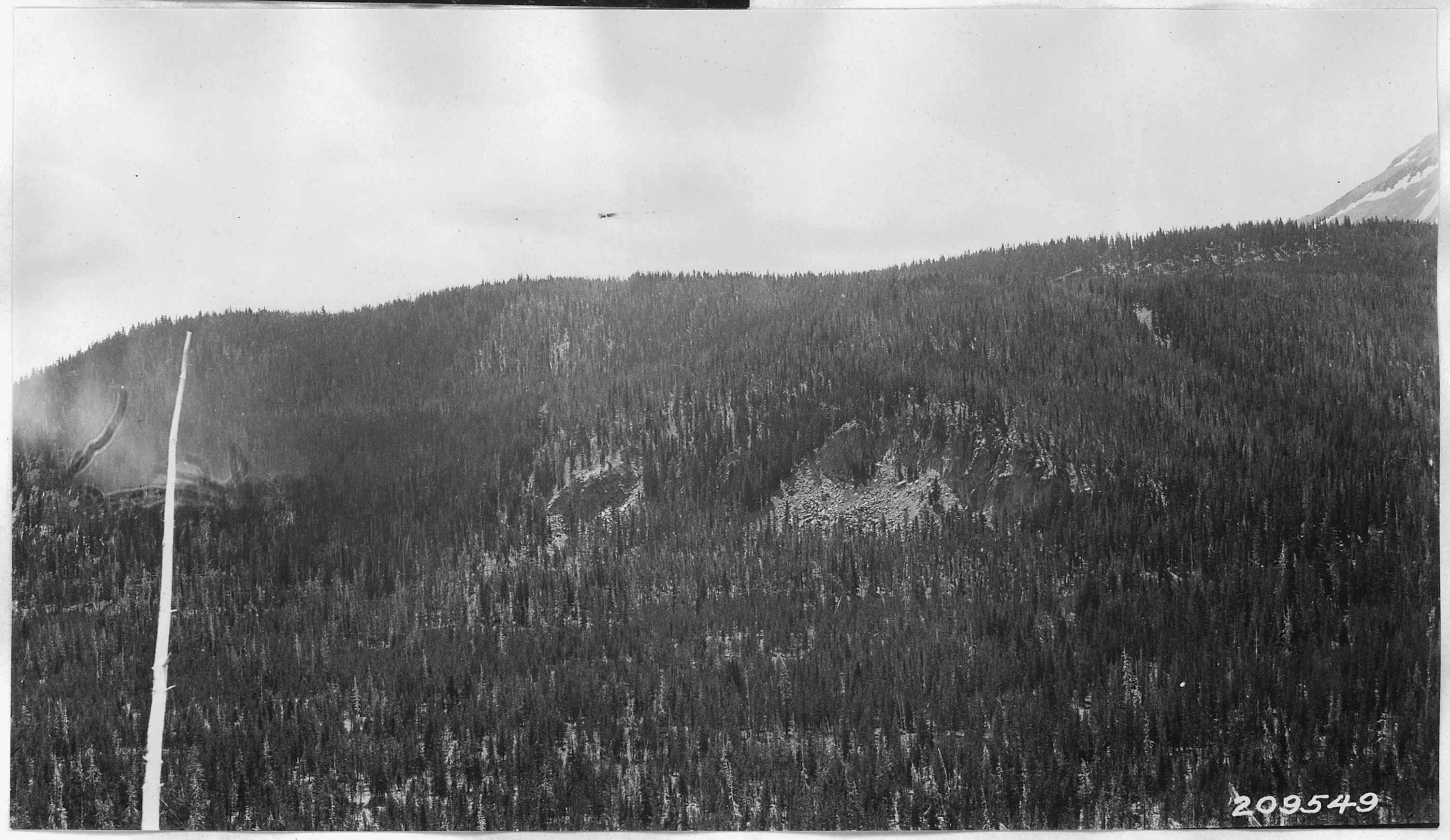
Looks south 25 degrees E across head of Bear Creek to Scott Bluffs and lower slope of Mount Scott. Shows lodgepole... - NARA - 298881.jpg - US National Archives bot

Picture from Timber Crater, looks north showing heavy fir and hemlock timber on TImber Crater. Diamond Lake and Mount... - NARA - 298913.jpg - US National Archives bot

View looks north from Red Cone toward Desert Cone and Desert Ridge. Mt. Bailey, Mt. Thielson and Diamond Lake in... - NARA - 298921.jpg - US National Archives bot

Taken from Desert Cone looking NNW to Mt. Bailey. Desert Ridge in foreground. - NARA - 298926.jpg - US National Archives bot

Northwest toward Bald Crater from Red Cone. Mt. Bailey on right at skyline. - NARA - 298924.jpg - US National Archives bot

West Fir Lumber Co. Mill (government sale), Willamette National Forest - NARA - 299304.jpg - US National Archives bot

Frank A. Johnson admires a bunch of his well-grown grapes (Concord variety), Salem, Oregon, circa 1935 (6359776181).jpg - File Upload Bot (Magnus Manske)

Camp Arboretum, circa 1935 (6218176815).jpg - File Upload Bot (Magnus Manske)

Diversified gardening (3707828193).jpg - File Upload Bot (Magnus Manske)

Swan Island Airport.JPG - Halvorsen brian

Aerial of Swan Island Municipal Airport (1).JPG - Halvorsen brian

Aerial of Swan Island Municipal Airport (2)..JPG - Halvorsen brian
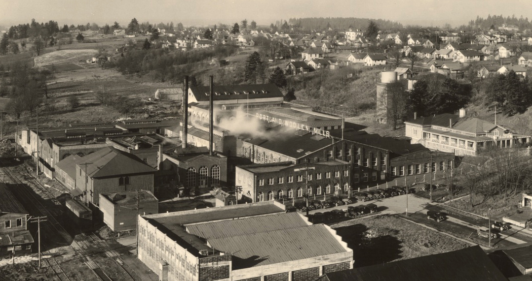
Portland Woolen Mills, 1935.JPG - Halvorsen brian
Photographer unknown 19 August 1935 SOUNDING BARGE USED TO DETERMINE RIVER-BOTTOM CONTOURS. - Bonneville Project, Columbia River, 1 mile Northeast of Exit 40, off Interstate 84, HAER ORE,26-BONV,2-26.tif - Fæ
Photographer unknown 20 August 1935 CONCRETE BEING WET-SCREENED BEFORE FORMING 6' X 12' TEST SPECIMENS. - Bonneville Project, Columbia River, 1 mile Northeast of Exit 40, off HAER ORE,26-BONV,2-27.tif - Fæ
Photographer unknown 20 August 1935 SUMP TESTS UNDERWAY. - Bonneville Project, Columbia River, 1 mile Northeast of Exit 40, off Interstate 84, Bonneville, Multnomah County, OR HAER ORE,26-BONV,2-28.tif - Fæ
Photographer unknown 10 September 1935 MONIGHAN DRAGLINE AND DUMP BUGGIES EXCAVATING AT SOUTH END OF DAM. - Bonneville Project, Columbia River, 1 mile Northeast of Exit 40, off HAER ORE,26-BONV,2-31.tif - Fæ

Coos Bay Bridge, Construction (32091766393).jpg - Kingofthedead

Coos Bay - McCullough Bridge (33018151942).jpg - Kingofthedead

Coos Bay - McCullough Bridge (33047001661).jpg - Kingofthedead

Siuslaw River Bridge (33174448865).jpg - Kingofthedead

Siuslaw River Bridge (32792005010).jpg - Kingofthedead

Alsea Bay Bridge (Old) (32343038193).jpg - Kingofthedead

Coos Bay - McCullough Bridge (32329444674).jpg - Kingofthedead

Siuslaw River Bridge (32792002160).jpg - Kingofthedead

Yaquina Bay Bridge (33158131225).jpg - Kingofthedead

Lost Lake Trail-Oregon-1935.jpg - CarolSpears

Research Station-Oregon-1935.jpg - CarolSpears

1935. Snags from a 1922 burn near Timber, Oregon - 12 years after the burn. (37510578814).jpg - OceanAtoll

1935. Special control experiment for Ips oregoni. Pringle Falls, Oregon. (38696712962).jpg - OceanAtoll

Civilian Conservation Corps (CCC) E.R.A. Camp, Eagle Creek Trail, 1935 (21851499248).jpg - Tyler ser Noche