Wikimedi'Òc
Modes d'emploi

Cet album fait partie des albums
Cet album photos contient les sous-albums suivants :


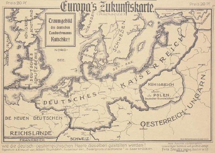
Europas Zukunftskarte 1915.jpg - VampaVampa

Ger demands 1915.jpg - Tarawneh

WW1 Central Powers 6 Sept 1915.svg - Lalichi

New elementary geography - adapted for use in Canadian schools (1915) (14594169319).jpg - Fæ

German submarine positions known to British Room 40 on May 7, 1915.jpg - AchimKoerver

Admiralty Chart No 2182c North Sea Northern Sheet Published 1915.jpg - Kognos
A German illustration of "freedom of the seas" in war time - (Western Europe and western Mediterranean Sea). LOC 2014589397.tif - Fæ

A German illustration of "freedom of the seas" in war time - (Western Europe and western Mediterranean Sea). LOC 2014589397.jpg - Fæ

Territory in bird life p87.png - Vanished Account Byeznhpyxeuztibuo

1915 map - Les Pays Balkaniques.jpg - Balkanique

The Daily Express large print map (5003844).jpg - Jason.nlw

1915 Strategic Map of Central Europe showing the International Frontiers Prepared in the War College Division, General Staff, War Department.jpg - Balkanique

Map of ships sunk in WWI 1915.jpg - Thats Just Great

L'Europe en 1915, la fin de la Prusse et le démembrement de l'Allemagne et de l'Autriche-Hongrie. S. J., des - btv1b8446045m.jpg - Gzen92Bot

Allemagne - Autriche-Hongrie et une carte de la frontière russe à Berlin - btv1b530634603.jpg - Gzen92Bot

Allemagne - Autriche-Hongrie (au verso) Hongrie - Région des Carpathes - btv1b53063698p (1 of 2).jpg - Gzen92Bot

5606-fp82-300-dpi-Eastern-Front-Summer-1915.jpg - Vaclaw1990

Life-expectancy,Europe,1915.svg - Doc James