Wikimedi'Òc
Modes d'emploi

Cet album fait partie des albums
Cet album photos contient les sous-albums suivants :


Map of the Tehran–Shah Abdol-Azim Railway in the year 1900.jpg - Peoplic

Map of a part of present-day Tehran Province in the year 1900.jpg - Peoplic

Map of Arabistan.jpg - VivereInPace
Stanford, Edward. Asia Minor, Caucasus, Black Sea. 1901 (W).jpg - Geagea

Stanford, Edward. Asia Minor, Caucasus, Black Sea. 1901 (Z).jpg - Geagea

D201- Alexandre en Iranie -liv2-ch12.png - Vieux têtard

Arabia- the cradle of Islam - studies in the geography, people and politics of the peninsula, with an account of Islam and mission work (1900) (14764348212).jpg - SteinsplitterBot

The book of Ser Marco Polo - the Venetian concerning the kingdoms and marvels of the East (1903) (14769238742).jpg - Fæ

Fars in Abbasid Caliphate.jpg - Hamedvahid
The Euphrates Valley - Syria, Kurdistan, etc. LOC 2013593032.tif - Fæ

The Euphrates Valley - Syria, Kurdistan, etc. LOC 2013593032.jpg - Fæ

Afghanistan und seine Nachbarländer.jpg - Balkanique

Ca. 1909 Ottoman map of the Ottoman Iraq - Iran border by the Special Border Commission.jpg - Balkanique

Admiralty Chart No 27 Bushire, Published 1906.jpg - Kognos

Karte der Umgegend von Teheran.jpg - Hanooz

The Harmsworth atlas and Gazetter 1908 (135850193).jpg - Polona Upload

The Euphrates Valley - Syria, Kurdistan, etc. LOC 2013593032 - detail Ahwaz - Shustar - Karun Jarahi Zohreh rivers (cropped).jpg - LudwigSebastianMicheler

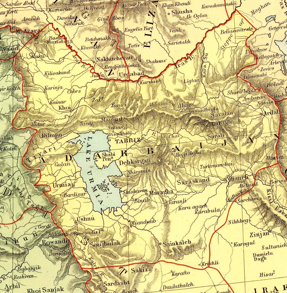
Tabriz Map 1909.jpg - Carl

La Perse - Trois ans à la cour de Perse (page 12 crop).jpg - Yousiphh