×

1906 Colorado gubernatorial election results map by county.svg - Thomascampbell123

Map of Results of Colorado Gubernatorial Election 1906, by county.png - Khahn16

Map of Colorado - DPLA - 33f067cc4d0629b4b495fc038d6e52f9.jpg - Colohisto

State of Colorado, compiled from the official records of the General Land Office and other sources under the direction of Frank Bond - DPLA - d50206df8c078b0e32b7cd921ccf42d0.jpg - Colohisto

The E. G. Pryce Company's map of North Central Colorado, showing irrigated and unirrigated farming lands - DPLA - f968bbedd4dbf72129afe14b0eac30d4.jpg - Colohisto

Boulder oil fields, Colorado - DPLA - e2d4eb25aace118575c1d4f8b5a22edc.jpg - Colohisto

Butterfield Overland Despatch route - colorized - Roy D. Marsh.jpg - Beneathtimp

Holy Cross National Forest EO 870.jpg - Clindberg

Annual Reports of the Department of the Interior 1905 (1905) (14598042379).jpg - Fæ

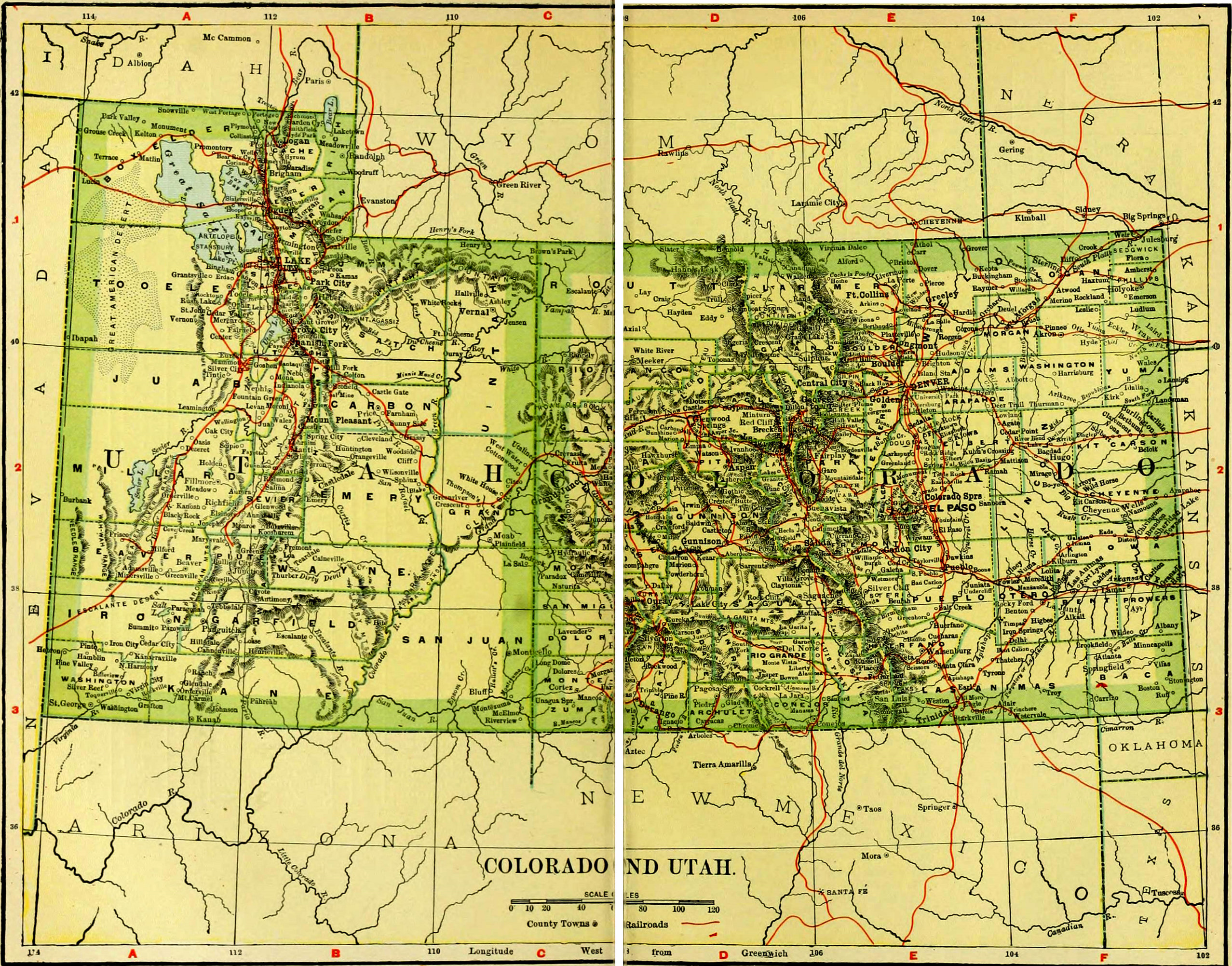
NIE 1905 Utah-Colorado.jpg - Library Guy

CO Stout 1906 62500.jpg - FAHansson

CO Waverly 1906 62500.jpg - FAHansson

CO Fort Collins 1906 62500.jpg - FAHansson

Breckenridge, Colo., county seat, Summit County - DPLA - beb1fc98bd0304ebff81233e7cddede7.jpg - DPLA bot

Sectional map of Colorado, in four parts - northeast quarter - DPLA - e17d6876f8f0960cb81cfe187f73f0cf.jpg - DPLA bot

Map of the San Juan Triangle - DPLA - 55859ece2e344a9869d30ea82bb9a33f.jpg - DPLA bot

Map of the Denver quadrangle - DPLA - e7456f9b2f6b12b35b81b786539720d2.jpg - DPLA bot

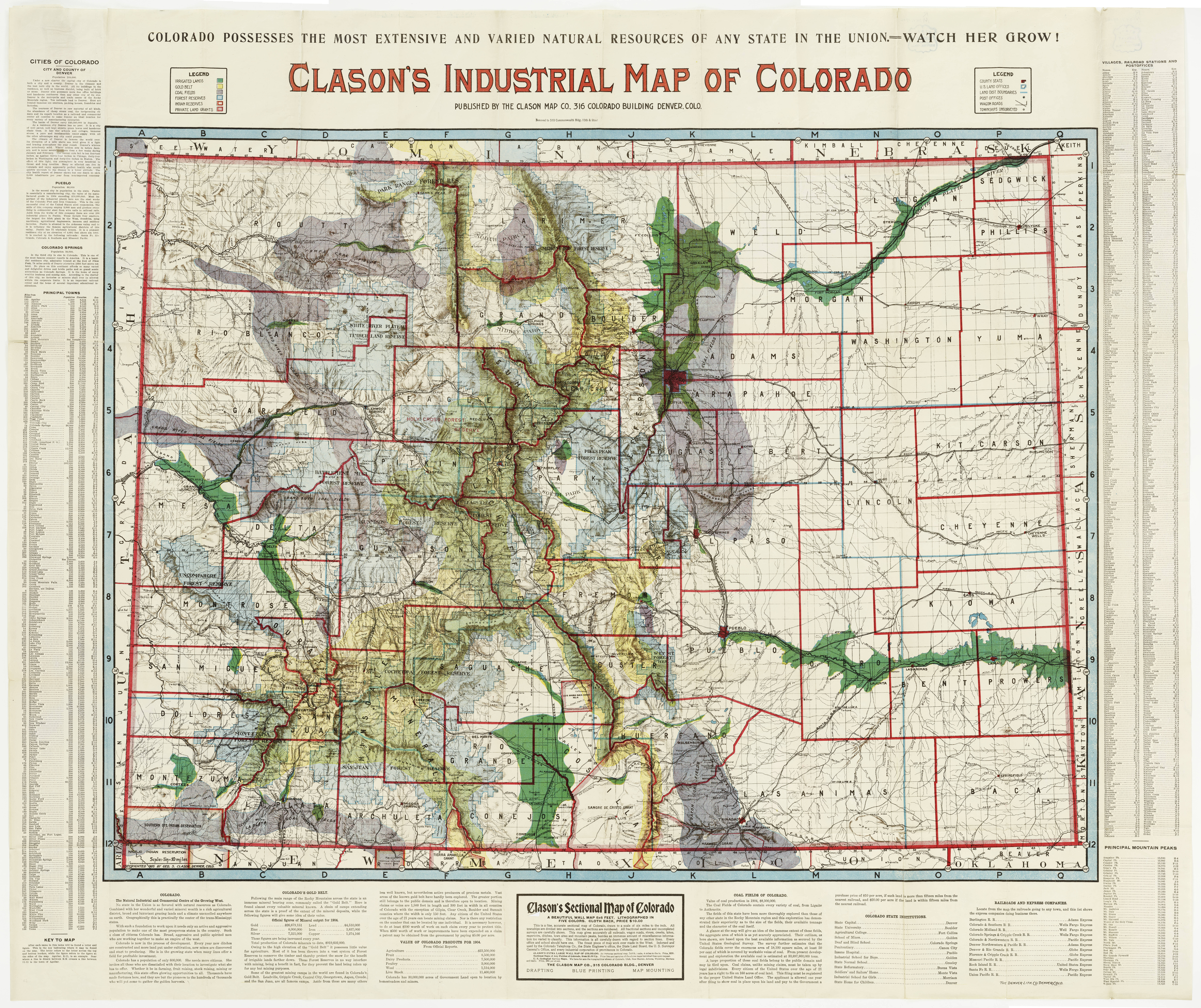
Clason's industrial map of Colorado. - DPLA - 3f383570e95ce903ee5716228257a62d.jpg - DPLA bot

Map showing gold belt of lower Clear Creek and Gilpin Counties, vicinity of Central City, Colorado - DPLA - 3fabd0e295e604d10f4c6f8a272bdf3c.jpg - DPLA bot

Topographical map or bird's eye view of a large portion of Las Animas, Eureka and Red Mountain mining districts, San Juan County, and a portion of Ouray County, Colorado - DPLA - 2a622ee721ae7d301c2e442439c88e4e.jpg - DPLA bot

Nell's topographical map of the state of Colorado - DPLA - f7a7145f97d9f30a355c7a8c362f0a38.jpg - DPLA bot

Clason's irrigation map of northern Colorado - DPLA - c8dd4fecb7fb80406319fcec1008e809.jpg - DPLA bot

Map of the Colorado Telephone Cos toll line system - DPLA - 2a223e4943c2e1fa6db2336cd61402d7.jpg - DPLA bot

Map of the central portion of the city of Denver - DPLA - 90f7a0809cfc85ea87dcec08e8980e97 (page 2).jpg - DPLA bot

Camp Bird map.jpg - Pi3.124

Map of Las Animas Bent County, Colorado - DPLA - cce0a4f8b422c274b84c0e9ccd4eec8c.jpg - Colohisto

Map of Bent County, Colorado - DPLA - 9ae1f4ab49c0dd9df61e368b0041f726.jpg - Colohisto

Rand, McNally & Co.'s Colorado - DPLA - c7bf38998ff4a9e37e0fbbb90073b3a0.jpg - DPLA bot

Drumm's pocket map of Boulder County Colorado - DPLA - 0508b3deed7da42bdc968cefc77ee8d4.jpg - Colohisto

Drumm's pocket map of Boulder County Colorado - DPLA - 31f07cd334fe5fc6de67cff41d32315d.jpg - Colohisto

Drumm's pocket map of Boulder County Colorado - DPLA - 4ccd7c9ed5e7415acc3717d7fa6a6043.jpg - Colohisto

Drumm's pocket map of Boulder County Colorado - DPLA - 8c58771c99b92893c2a8b1cb8f5036c4.jpg - Colohisto
❮
❯


