×

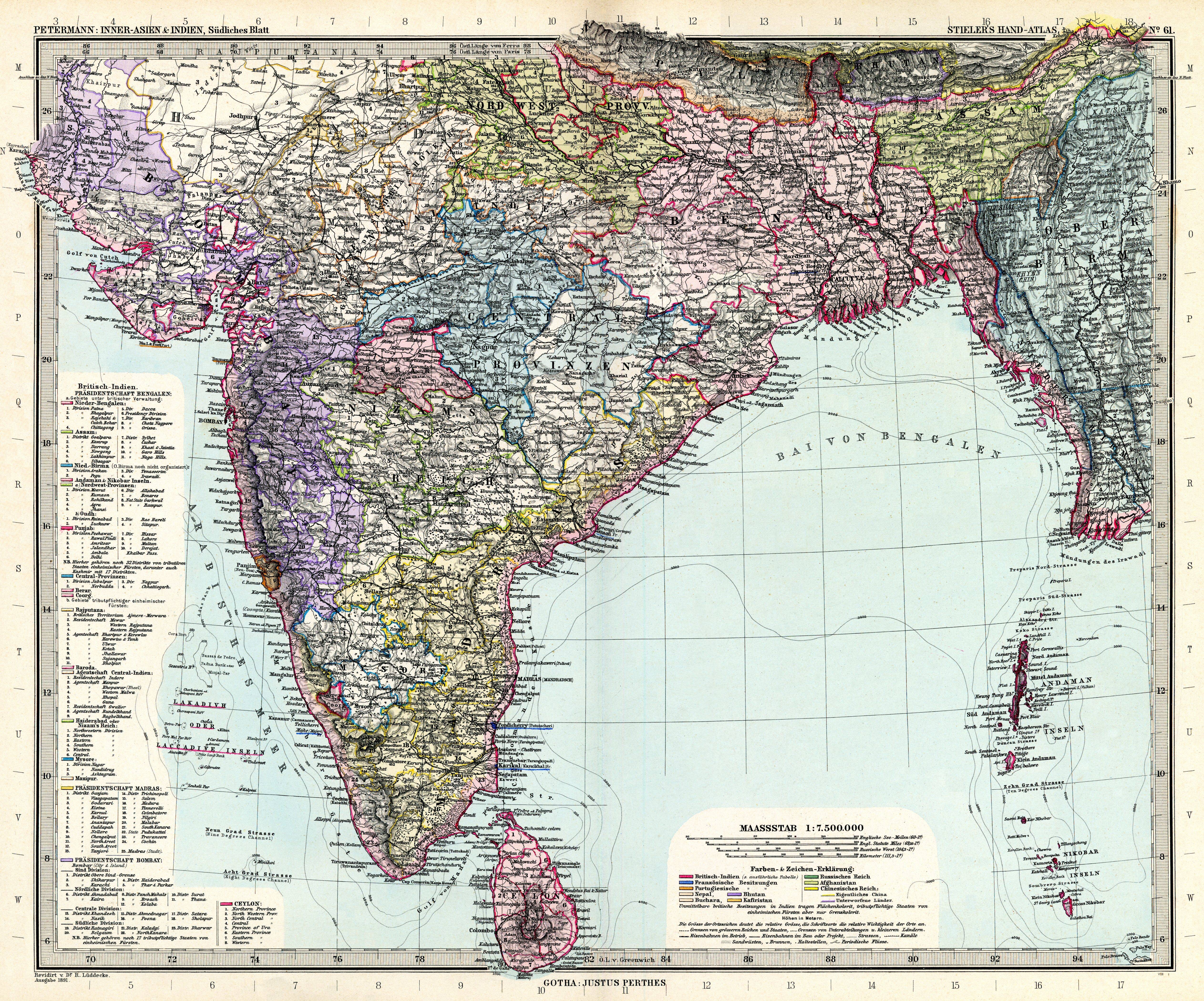
Stielers Handatlas 1891 61.jpg - Kolossos

Indian Railway network 1893.jpg - Planemad

IndiaPolitical1893ConstablesHandAtlas.jpg - MALLUS

India, distribution of languages, 1893.jpg - Yann

Key to Section maps, plates 22 to 36, of the Indian Empire.jpg - Yann

India in 1893, geological features.jpg - Shyamal

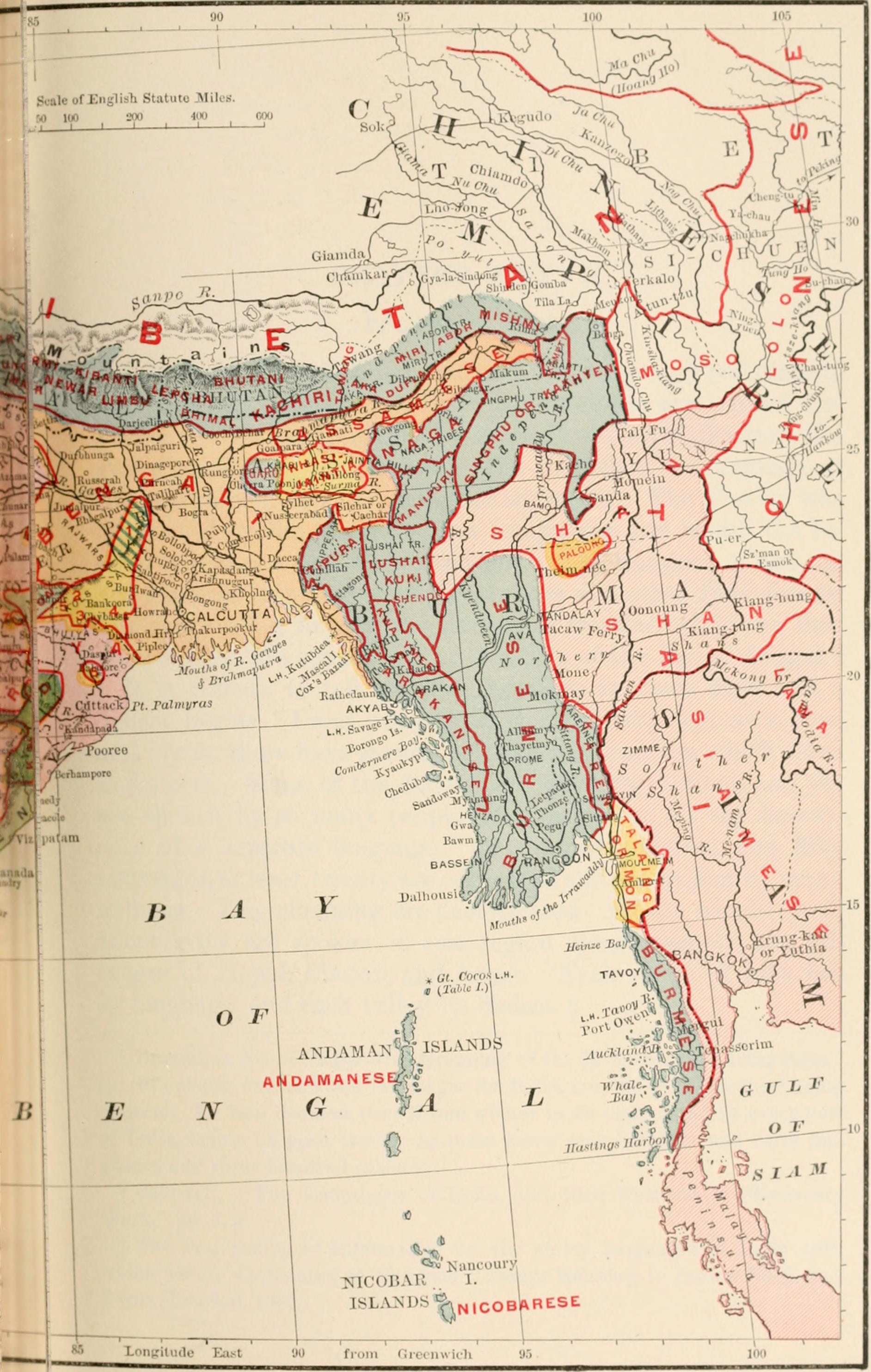
British India map of Northeast India and Myanmar, Bengal Assam Meghalaya Arunachal Pradesh Nagaland Manipur Mizoram Tripura regions 1891.jpg - AmyNorth

Cyclopedia universal history - embracing the most complete and recent presentation of the subject in two principal parts or divisions of more than six thousand pages (1895) (14596409770).jpg - SteinsplitterBot

Indika. The country and the people of India and Ceylon (1891) (14583794737).jpg - Fæ

Indika. The country and the people of India and Ceylon (1891) (14770266735).jpg - Fæ

Indika. The country and the people of India and Ceylon (1891) (14583573639).jpg - Fæ

Indika. The country and the people of India and Ceylon (1891) (14766938171).jpg - Fæ

Indika. The country and the people of India and Ceylon (1891) (14583463429).jpg - Fæ

India (1899).jpg - Lucius Castus

Image taken from page 155 of 'History for ready reference, from the best historians ... Their own words in a complete system of history ... With ... maps ... by A. C. Reiley' (16588892591).jpg - Artix Kreiger 2

33 of 'A Manual of the Geology of India ... (pt. 3) Economic Geology. By ... V. Ball. ... Second edition revised in parts. Part 1. Corundum-By T. H. Holland' (11245631454).jpg - Artix Kreiger 2

228 of 'India, Past and Present, historical, social and political ... Illustrated, etc. (With a bibliography by Sir W. W. Hunter.)' (11204570565).jpg - Artix Kreiger 2

Clarke India 1898.jpg - Shyamal

From Shanghai to Calcutta.png - SecretName101
❮
❯


