Wikimedi'Òc
Modes d'emploi

Cet album fait partie des albums
Cet album photos contient les sous-albums suivants :


Map of Country Comprising Forts Meade, Custer, Keogh, and McKinney - NARA - 137929367.jpg - US National Archives bot

Annual report of the Bureau of American Ethnology to the Secretary of the Smithsonian Institution (1895) (18739355764).jpg - SteinsplitterBot

Crow Flies High village and the Fort Berthold reservation, 1886.png - Naawada2016

Arikara, Hidatsa and Mandan 1851 treaty territory. (Area 529, 620 and 621 south of the Missouri).png - Naawada2016

The century dictionary and cyclopedia, a work of universal reference in all departments of knowledge with a new atlas of the world (1896) (14753528616).jpg - Fæ

Early Indian treaty territories, North Dakota. Map 1 (1851-1891).png - Naawada2016

107 of 'Rhymes of the States. With drawings, etc' (11239124563).jpg - Artix Kreiger 2

Fort Buford Military Reservation, North Dakota and Montana.jpg - Naawada2016

Map showing the land grant of the Northern Pacific Railroad Company in Montana, Idaho, and in part of North Dakota, and in part of eastern Washington, reaching from Dickinson, North Dakota, to LOC 86695638.jpg - Fæ

Map of North and South Dakota.jpg - Zoozaz1
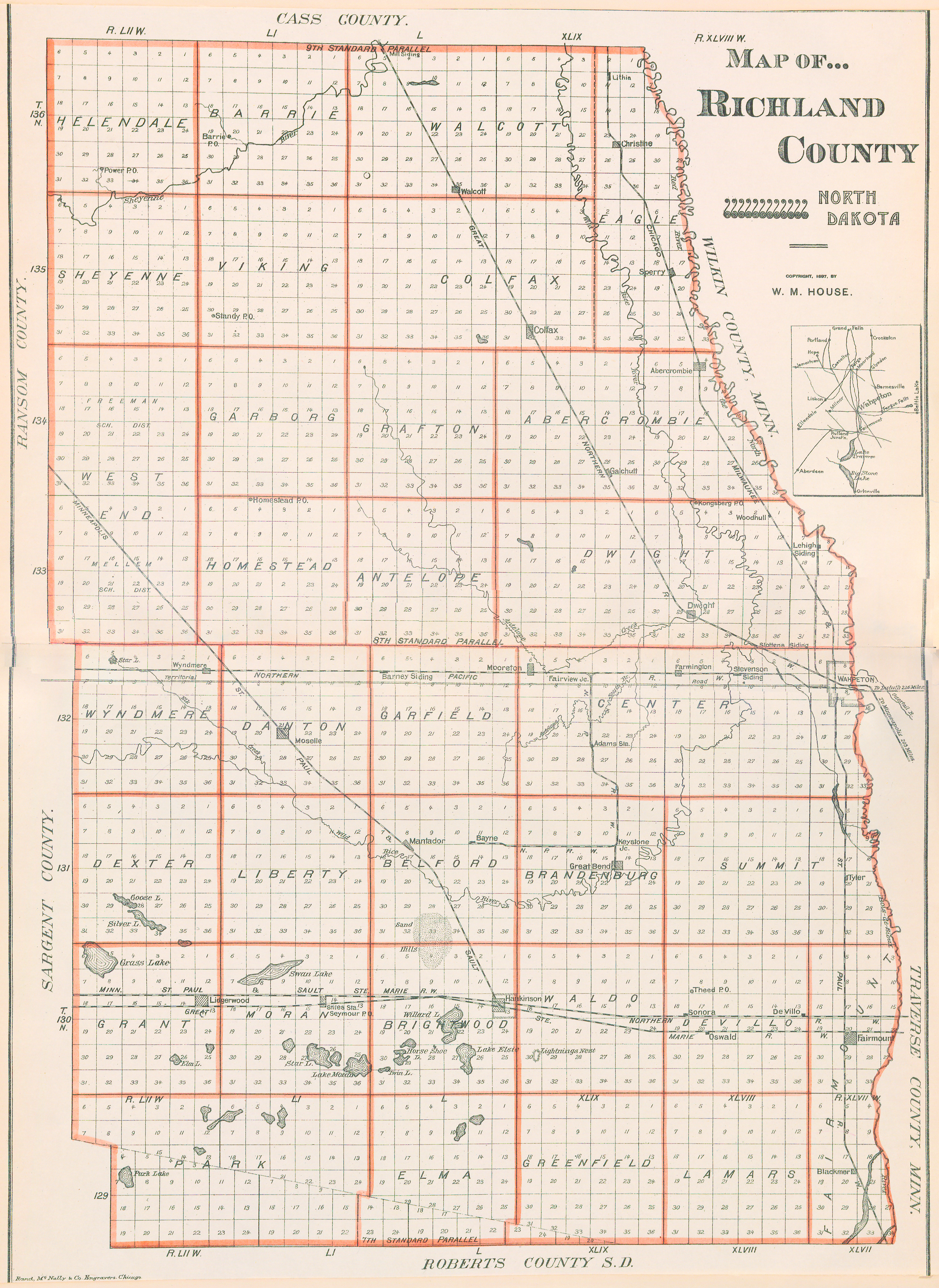
Map of Richland County, N.D., 1897.jpg - Thatdiguy55

1891 Map of the Department of Dakota including Minnesota, North Dakota, Montana, Yellowstone National Park, and that portion of South Dakota lying north of the forty-fourth parallel of north latitude - commonwealth cj82kq06h.jpg - Daderot

US-MAPS(1891) p495 - MAP OF NORTH DAKOTA.jpg - Metilsteiner