×

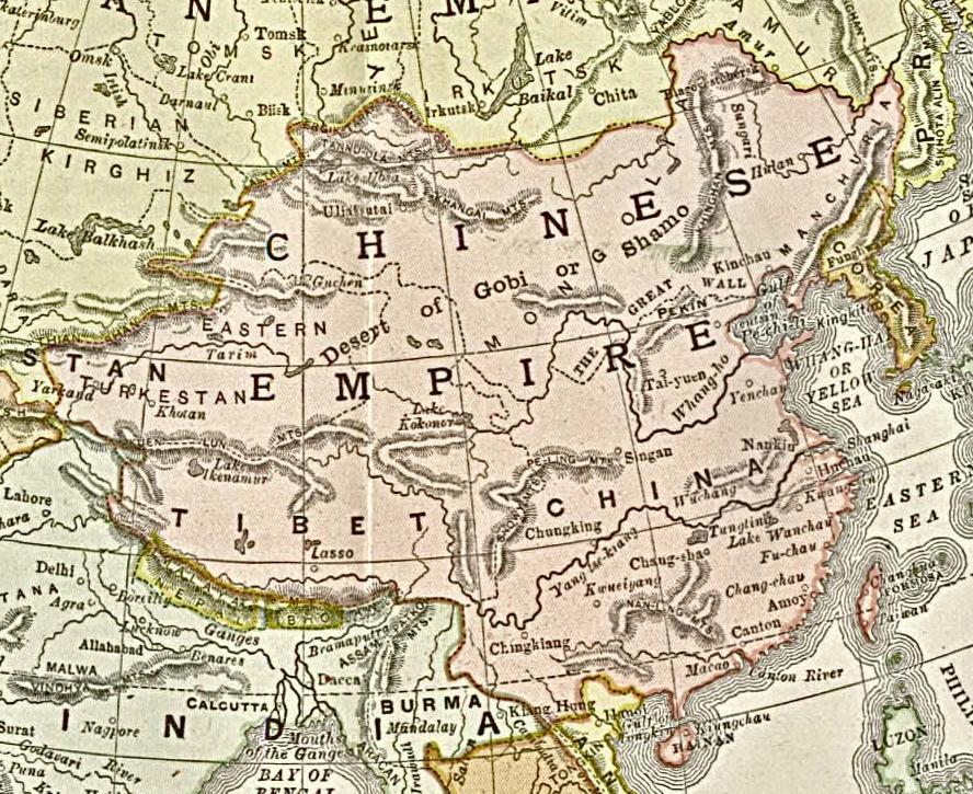
Qing china.jpg - LiDaobing

Political Map of 19th Century China(時局全圖).jpg - Stewart

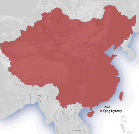
Ching Dynasty 1892.png - Ian Kiu

'Claudius Bombarnac' by Léon Benett 37.jpg - Electron

Gaillard.Carte de Chine.Ports ouverts.1898.jpeg - Popolon

The century dictionary and cyclopedia, a work of universal reference in all departments of knowledge with a new atlas of the world (1896) (14796563993).jpg - Fæ

Tchekiang Carte.jpg - Chaumot

652 of 'The Wars of the 'Nineties. A history of the warfare of the last ten years of the nineteenth century ... With ... illustrations ... and plans by the author' (11249646885).jpg - Artix Kreiger 2

554 of 'The China Sea Directory. Vol. III. ... Third edition. Compiled from various sources (by Staff-Commander W. H. Petley)' (11227823116).jpg - Artix Kreiger 2

373 of 'An Australian in China, being the narrative of a quiet journey across China to British Burma' (11232349346).jpg - Artix Kreiger 2

265 of 'A Class-Book of Modern Geography ... New edition, revised and largely rewritten (by Albert Hill), etc' (11153769004).jpg - Artix Kreiger 2

173 of 'Five Years in Siam from 1891 to 1896 ... With maps and illustrations by the author' (11246004935).jpg - Artix Kreiger 2

K. Wéber. Karta sévéro vostotchnavo Kitaïa - C. Weber, (Carte du N. E. de la Chine) - btv1b53028988w.jpg - Gzen92Bot

Henan Sheng quan tu LOC gm71002471.tif - Sebastian Wallroth

Henan Sheng quan tu LOC gm71002471.jpg - SteinsplitterBot

Ca. 1895 map - Stanford's map of the empires of China and Japan with the adjacent parts of the Russian Empire, India, Burma &c.tif - Balkanique

1892 map of China by Mingjie Liu.jpg - Balkanique

1892 map of China and Korea by the Imperial Japanese Army.jpg - Balkanique

Admiralty Chart No 1466 Hong Kong Surveyed by Captn. Sir E. Belcher, H.M. Surveying Ship Sulphur, 1841. Commr. A.M. Field H.M. Surveying Ship, Egeria, 1891. Commr. W.U. Moore, H.M. Surveying Ship, Penguin, 1892-93, Corrections to 1903.jpg - Balkanique

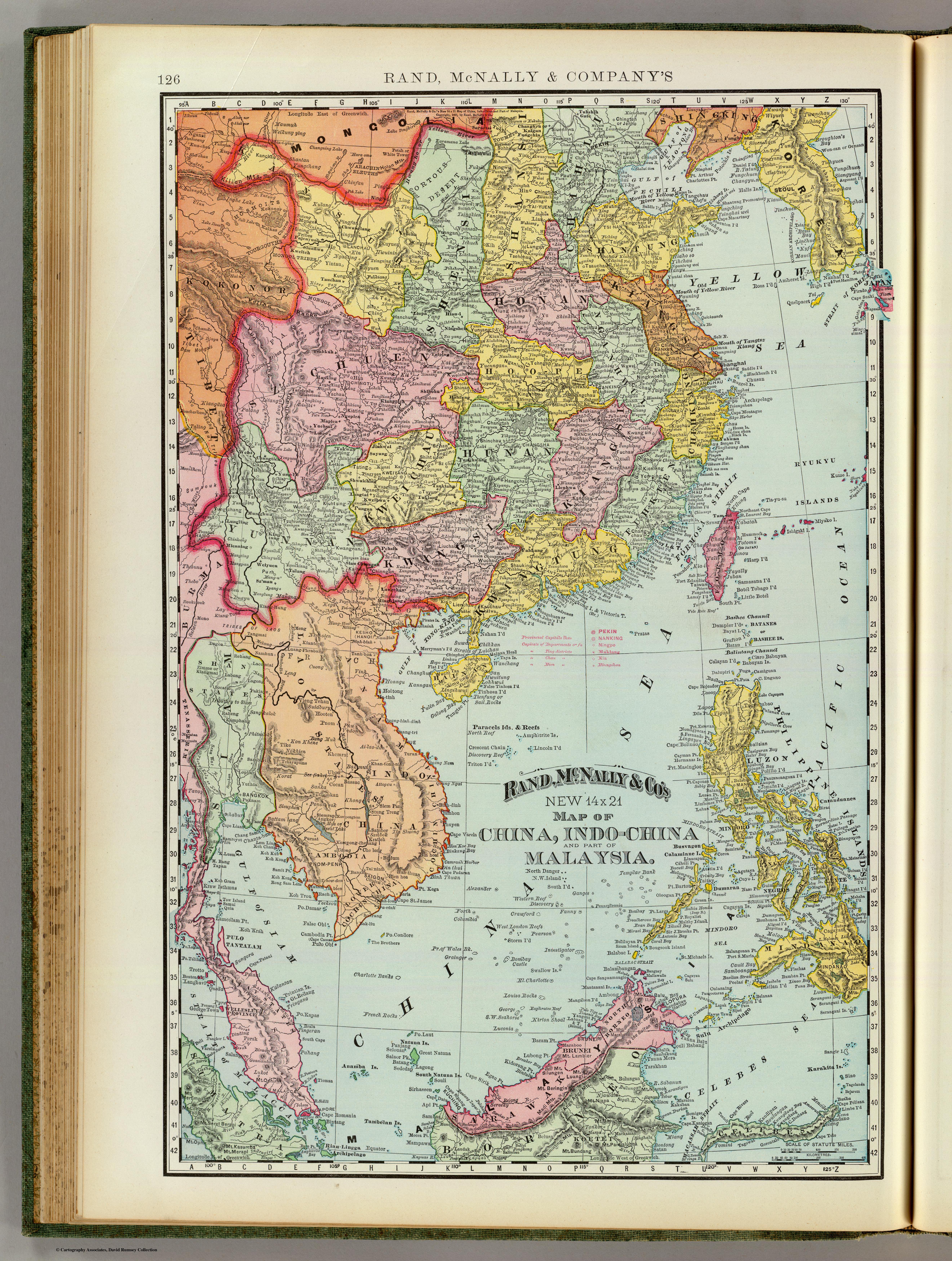
China, Indo-China, Malaysia.jpg - Ltn12345

A map of China prepared for the China Inland Mission 1894.jpg - Happyseeu

Huang chao zhi sheng di yu quan tu - Cai shang zhi - btv1b53109919f (1 of 2).jpg - Gzen92Bot

Huang chao zhi sheng di yu quan tu - Cai shang zhi - btv1b53109917j.jpg - Gzen92Bot

Itinéraires au Tonkin et dans le nord de l'Annam - (signés -) C.lle Paris ; (avec visa du Docteur Ernest Hamy, pour le Bulletin de géographie) - btv1b532122172.jpg - Gzen92Bot

De Paris au Tonkin (par Bonvalot) - Itinéraire de G. Bonvalot et du prince H. d'Orléans - dessiné par E. Giffault - btv1b84405427.jpg - Gzen92Bot

Meyers leiner Hand-atlas 1893 (73137143).jpg - Enyavar

Chine Méridionale et Tonkin - par le Capitaine Friquegnon ... ; Service géographique des Colonies Mr Camille Guy ... ; Gravé et Imprimé par Erhard F.res ... - btv1b53250787d.jpg - Gzen92Bot

Service géographique des colonies... Chine méridionale et Tonkin - par le capitaine Friquégnon... - btv1b532507842.jpg - Gzen92Bot
❮
❯


