Wikimedi'Òc
Modes d'emploi

Cet album fait partie des albums
Cet album photos contient les sous-albums suivants :


1888 Topographic Survey Map of the United States - Geographicus - USA-topographcialsurvey-1888.jpg - BotMultichill
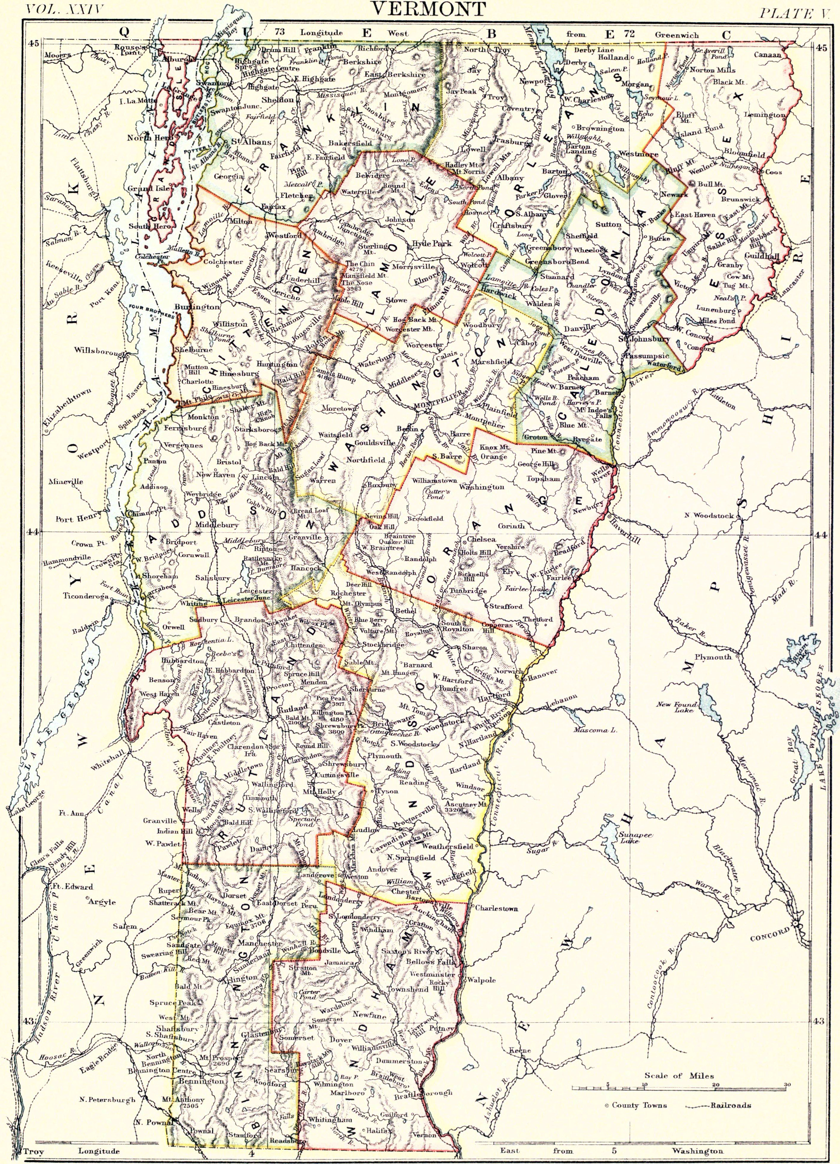
EB9 Vermont.jpg - Bob Burkhardt
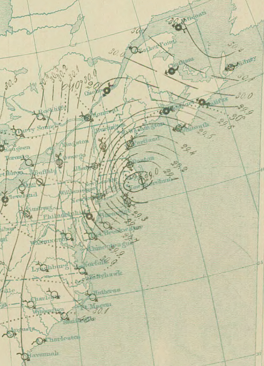
10 PM March 12 surface analysis of Great Blizzard of 1888.png - Cmdrjameson
PHOTOCOPY OF ORIGINAL 1888 MAP OF CONNERSVILLE - P. H. and F. M. Roots Company, Eastern Avenue, Connersville, Fayette County, IN HAER IND,21-CONVI,10-2.tif - Fæ

Political map of the United States and territories. 1888 (10294211894).jpg - Fæ

The whole story in a nutshell! (10294314046).jpg - Fæ

91 of 'Longmans' Junior School Geography, etc' (11195916583).jpg - FlickreviewR 2

Illustrated political chart, a cartoon of American politics and the Tapeworm Party LCCN2006687051.jpg - Fæ
A correct map of the United States of America showing the Atchison, Topeka, and Santa Fé R.R. and connections. LOC 98688342.tif - Fæ

A correct map of the United States of America showing the Atchison, Topeka, and Santa Fé R.R. and connections. LOC 98688342.jpg - Fæ
The Santa Fé Route and connections, 1888. LOC 98688797.tif - Fæ

The Santa Fé Route and connections, 1888. LOC 98688797.jpg - Fæ
Historical Geography. LOC 2002624023.tif - Fæ

Historical Geography. LOC 2002624023.jpg - Fæ
The whole story in a nutshell ! LOC 2012586441.tif - Fæ

The whole story in a nutshell ! LOC 2012586441.jpg - Fæ
Statistical map of the United States of America LOC 99447171.tif - Fæ

Statistical map of the United States of America LOC 99447171.jpg - Fæ
Map showing the location of the Indian reservations within the limits of the United States and territories LOC 2009579476.tif - Fæ

Map showing the location of the Indian reservations within the limits of the United States and territories LOC 2009579476.jpg - Fæ
Post route map of the United States. LOC 97691144.tif - Fæ

Post route map of the United States. LOC 97691144.jpg - Fæ
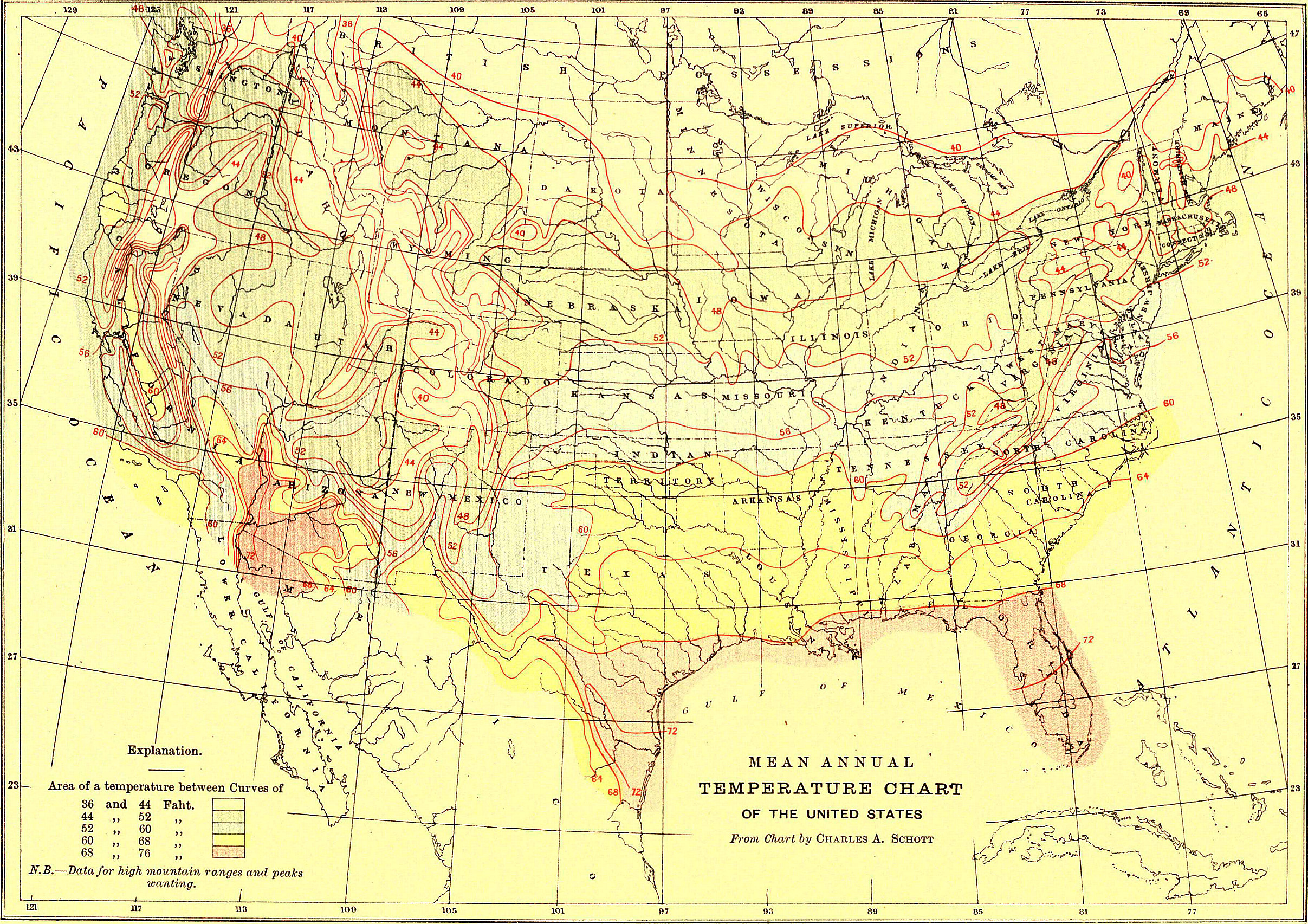
EB9 United States - temperature chart.jpg - Bob Burkhardt

EB9 United States - rainfall chart.jpg - Bob Burkhardt
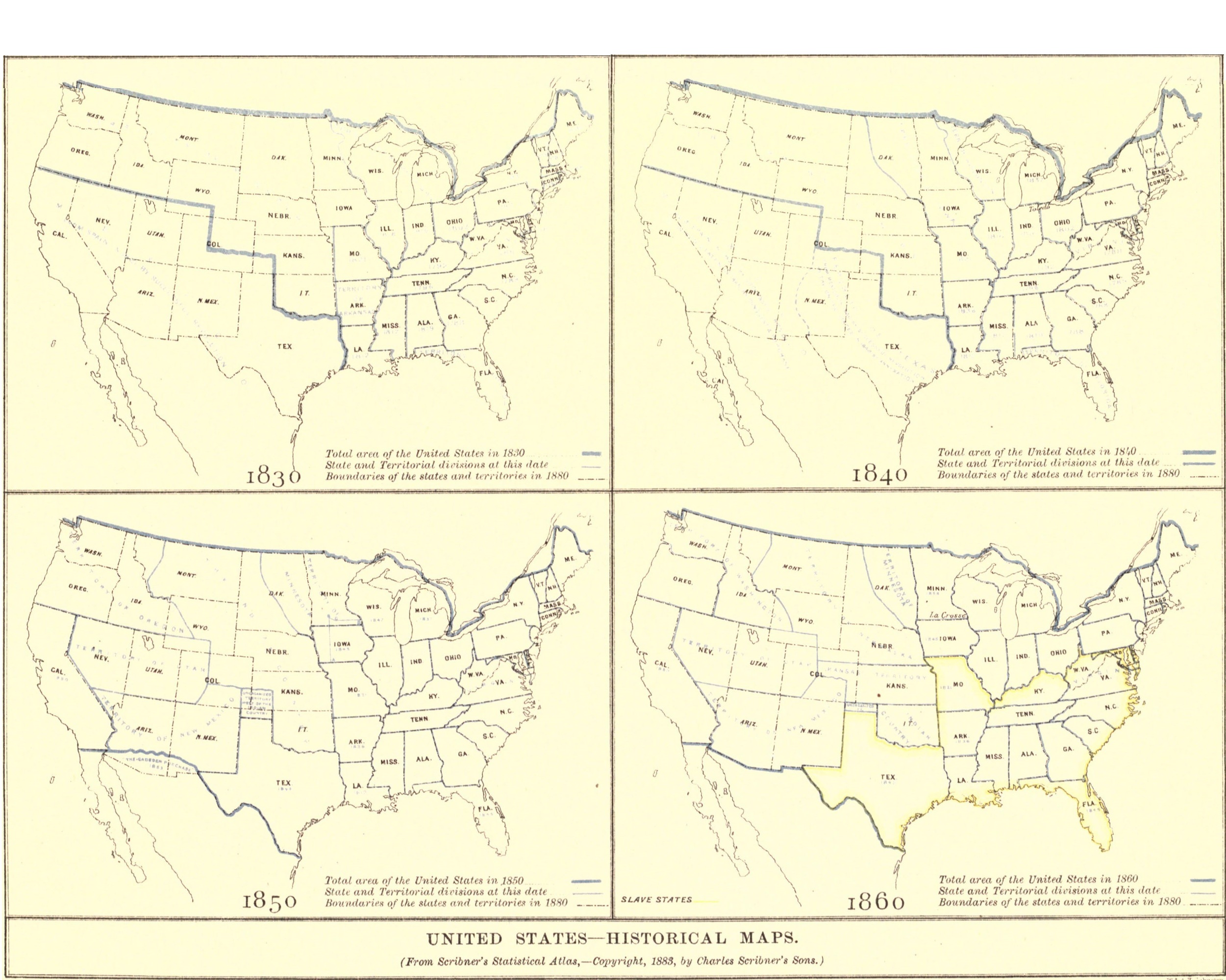
EB9 United States - historical maps (bottom).jpg - Bob Burkhardt

EB9 United States - historical maps (top).jpg - Bob Burkhardt
Pacific Coast from San Francisco Bay to the Strait of Juan de Fuca LOC 2007626931.tif - Fæ

Pacific Coast from San Francisco Bay to the Strait of Juan de Fuca LOC 2007626931.jpg - Fæ

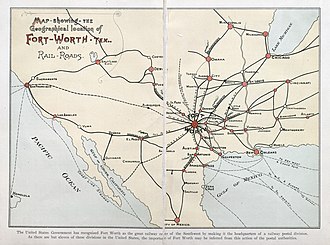
Paddock Fort-Worth, Tex., and Rail-Roads 1888 UTA.jpg - Michael Barera

Historical map of the United States, showing the area and extent of the free & slave-holding states.jpg - Taterian

129 - États-Unis - Géographie historique. Leçons en regard des cartes.jpg - Enyavar